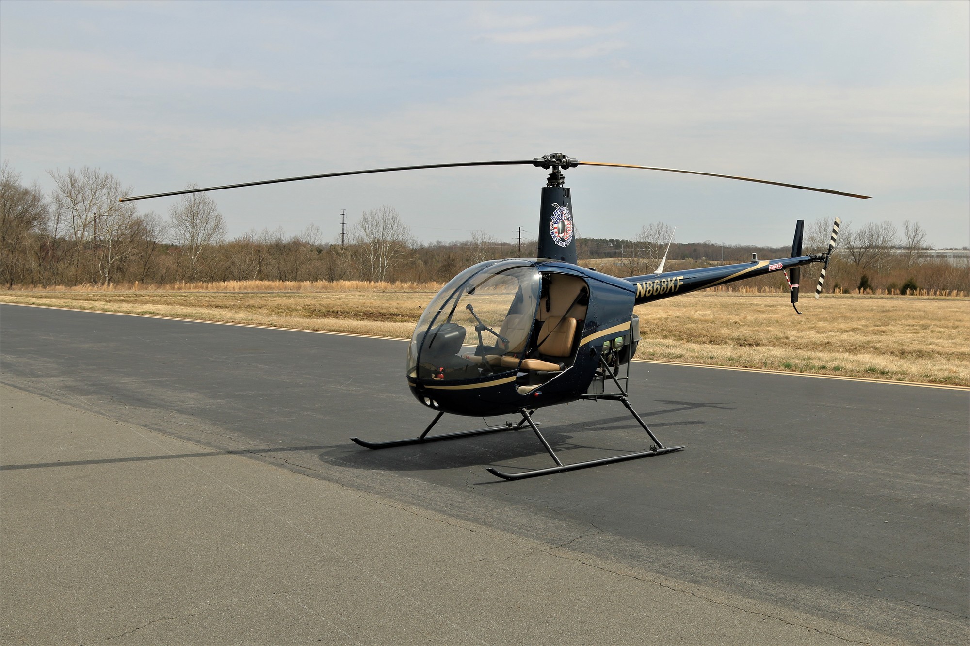
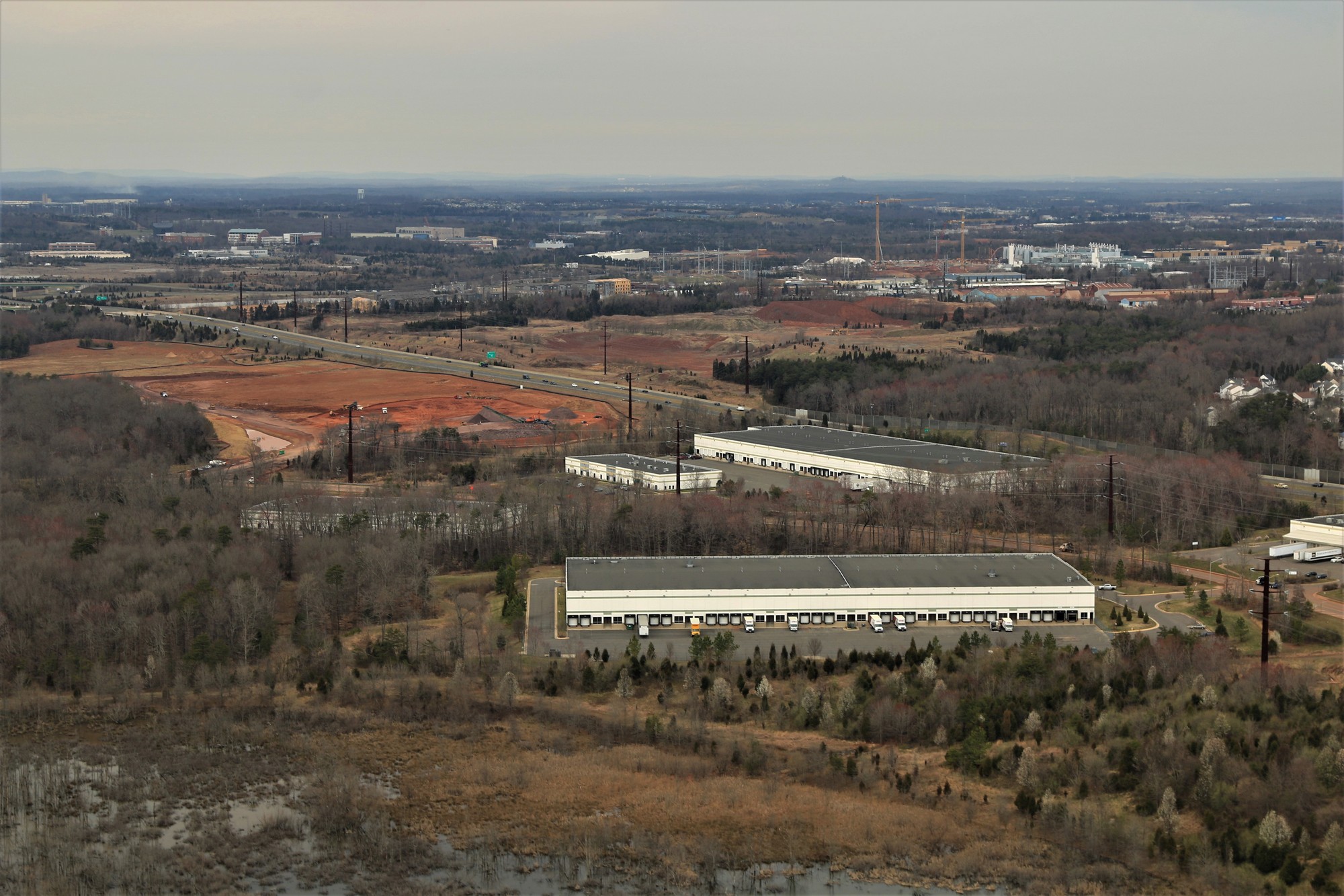
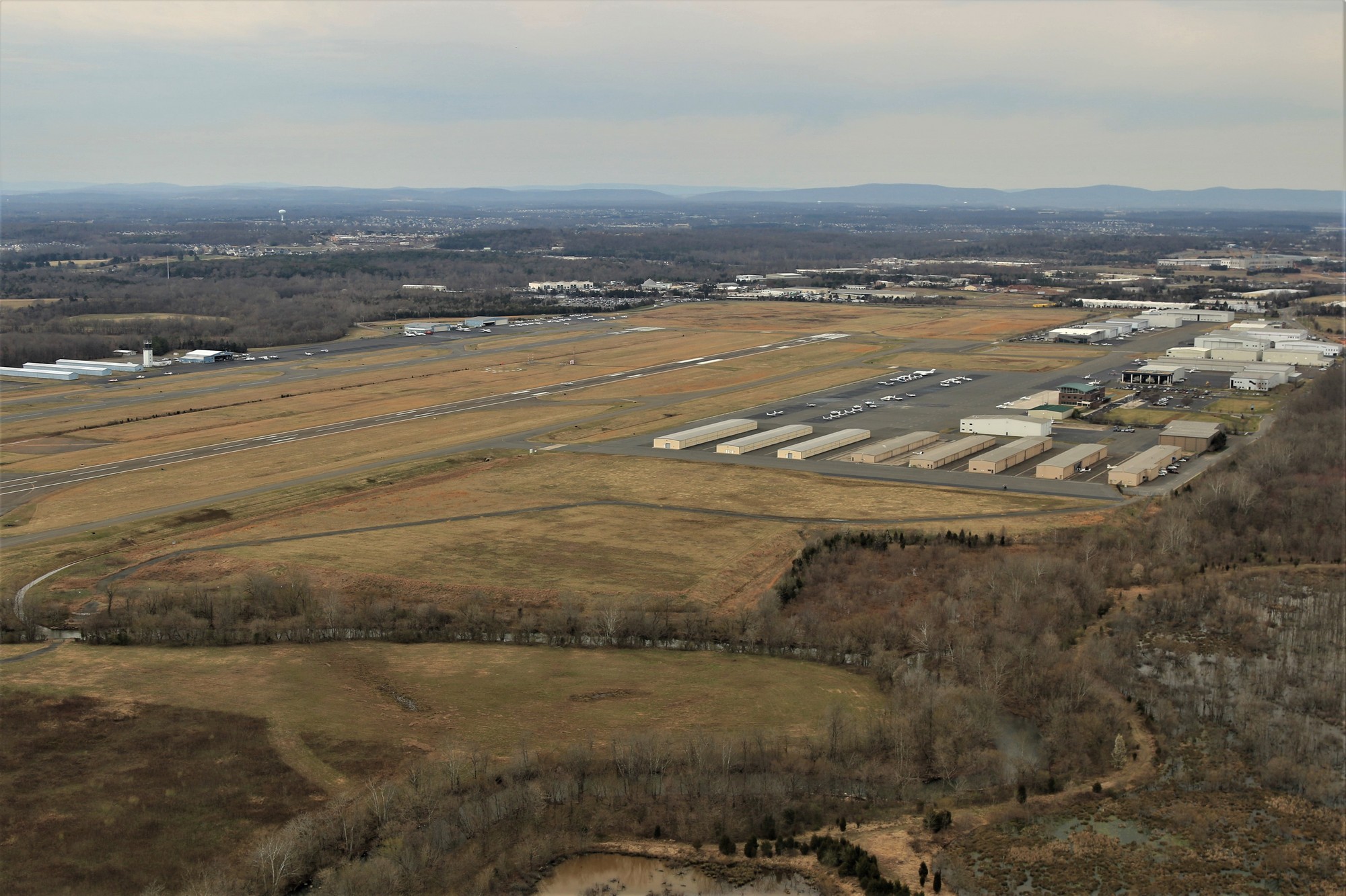
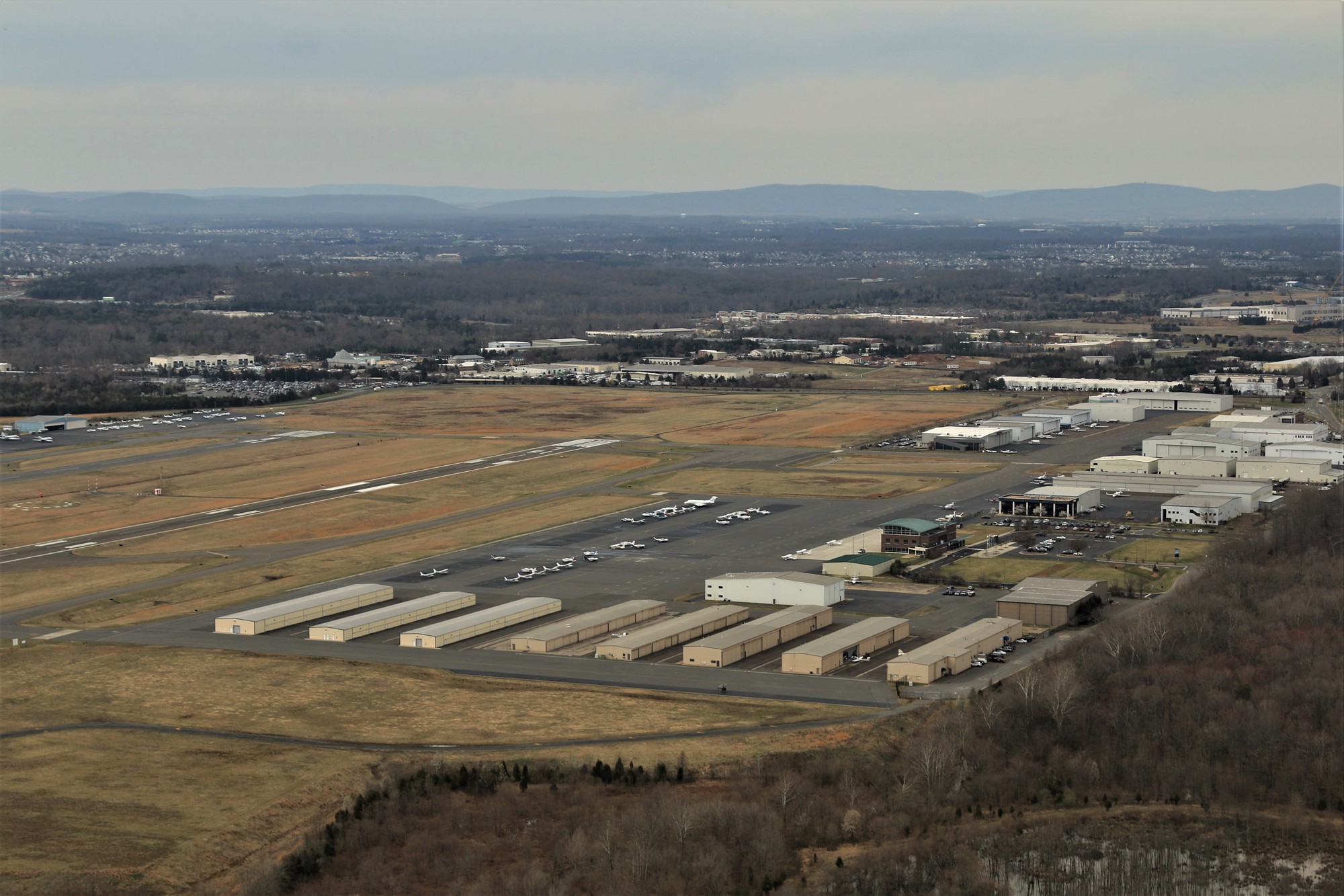
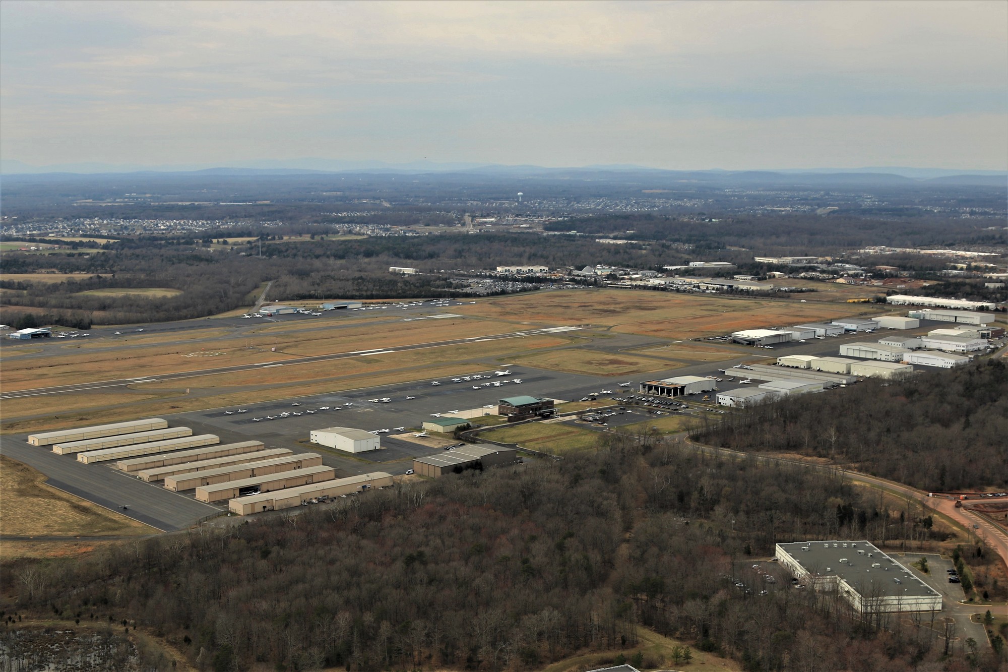
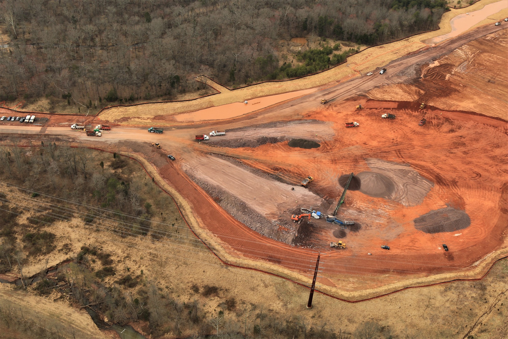
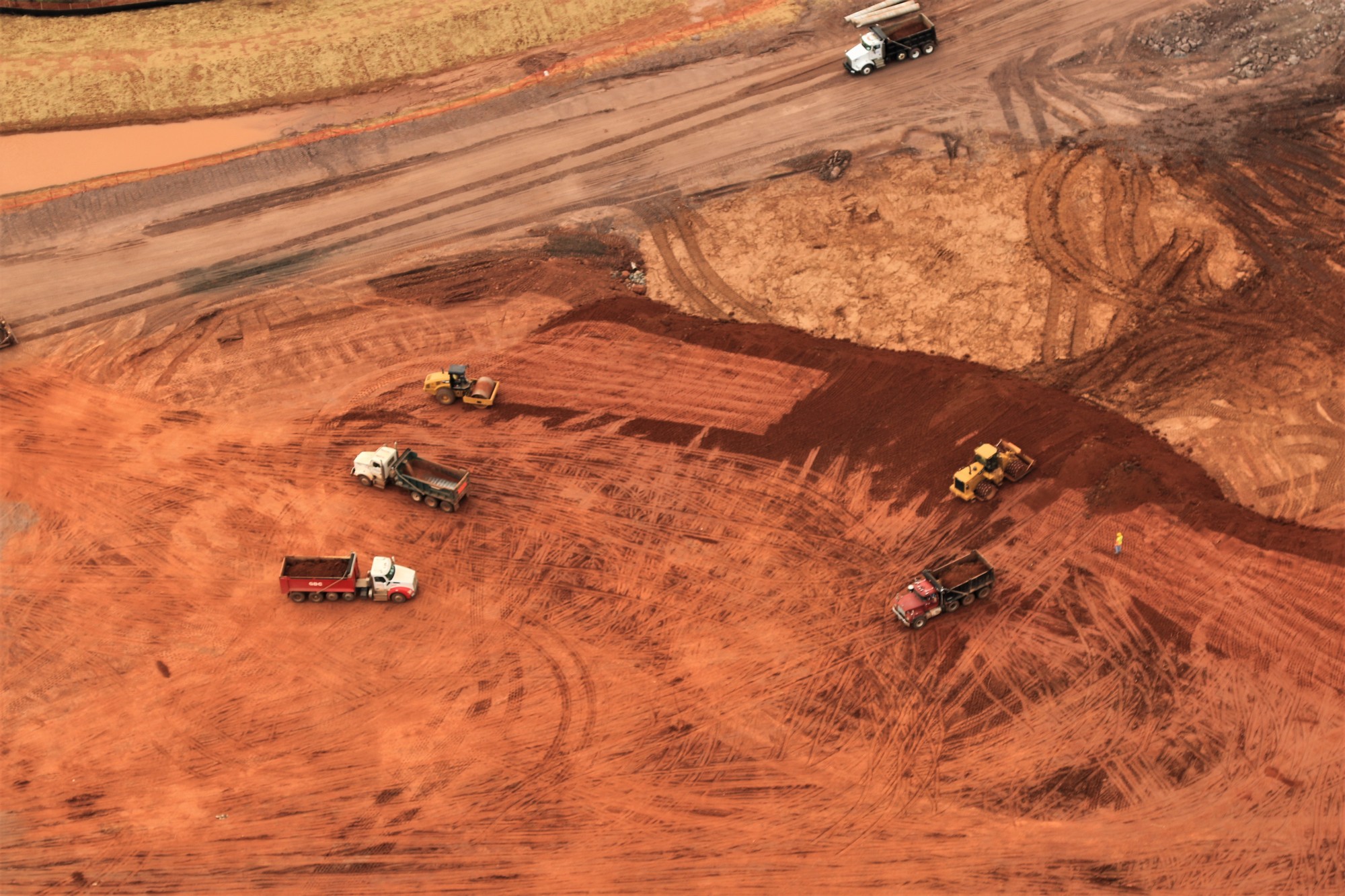
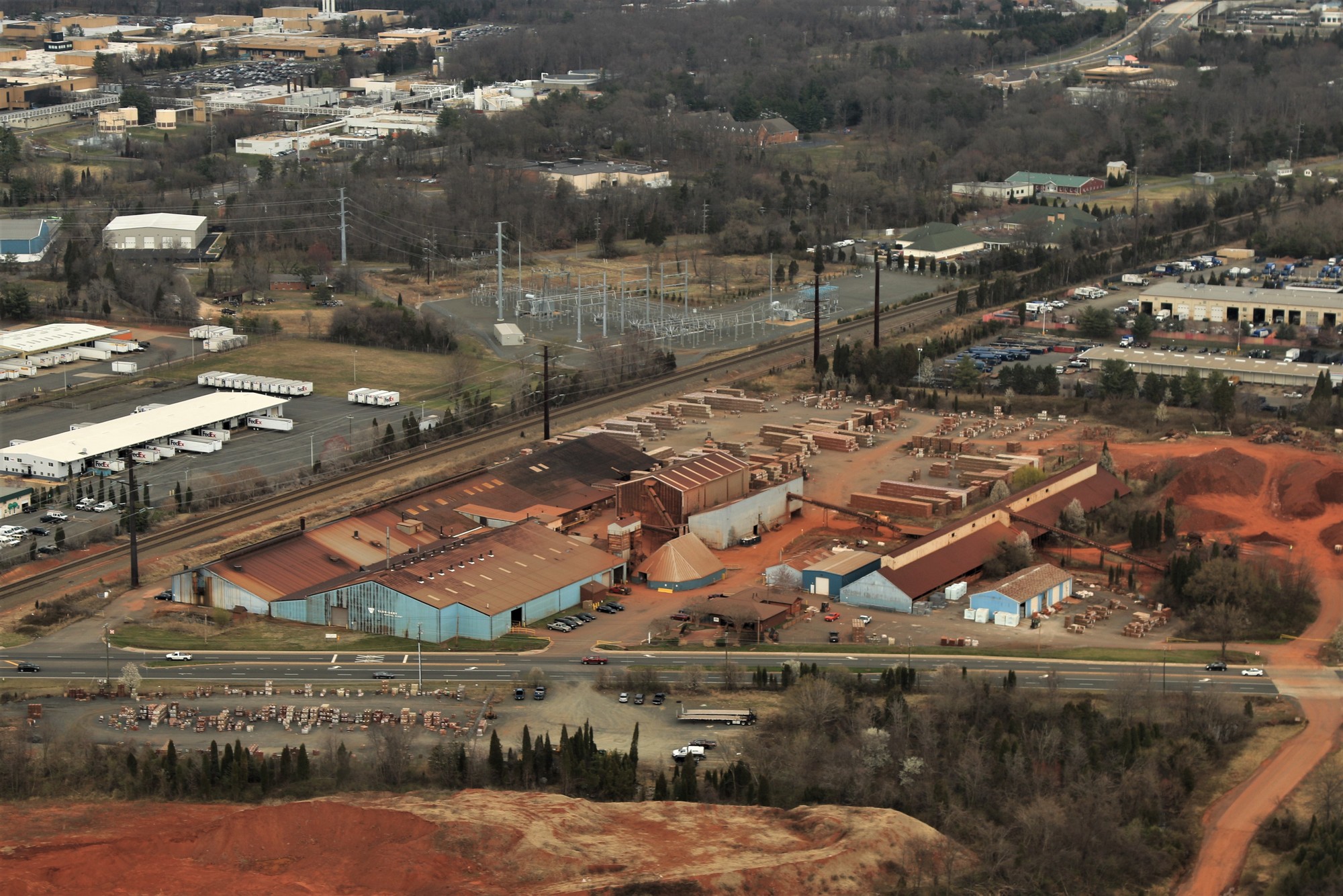
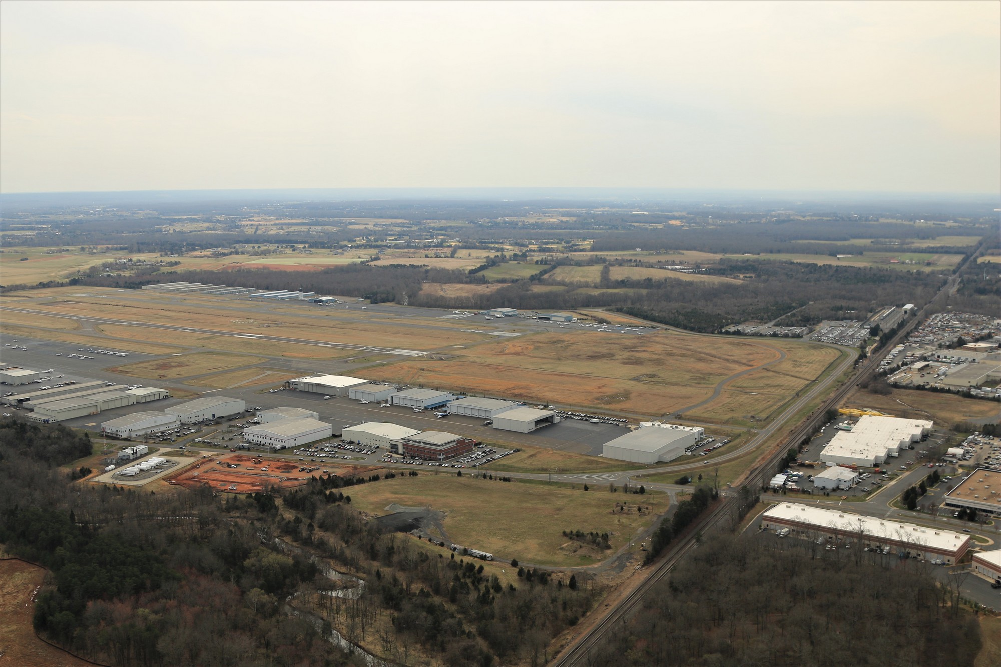
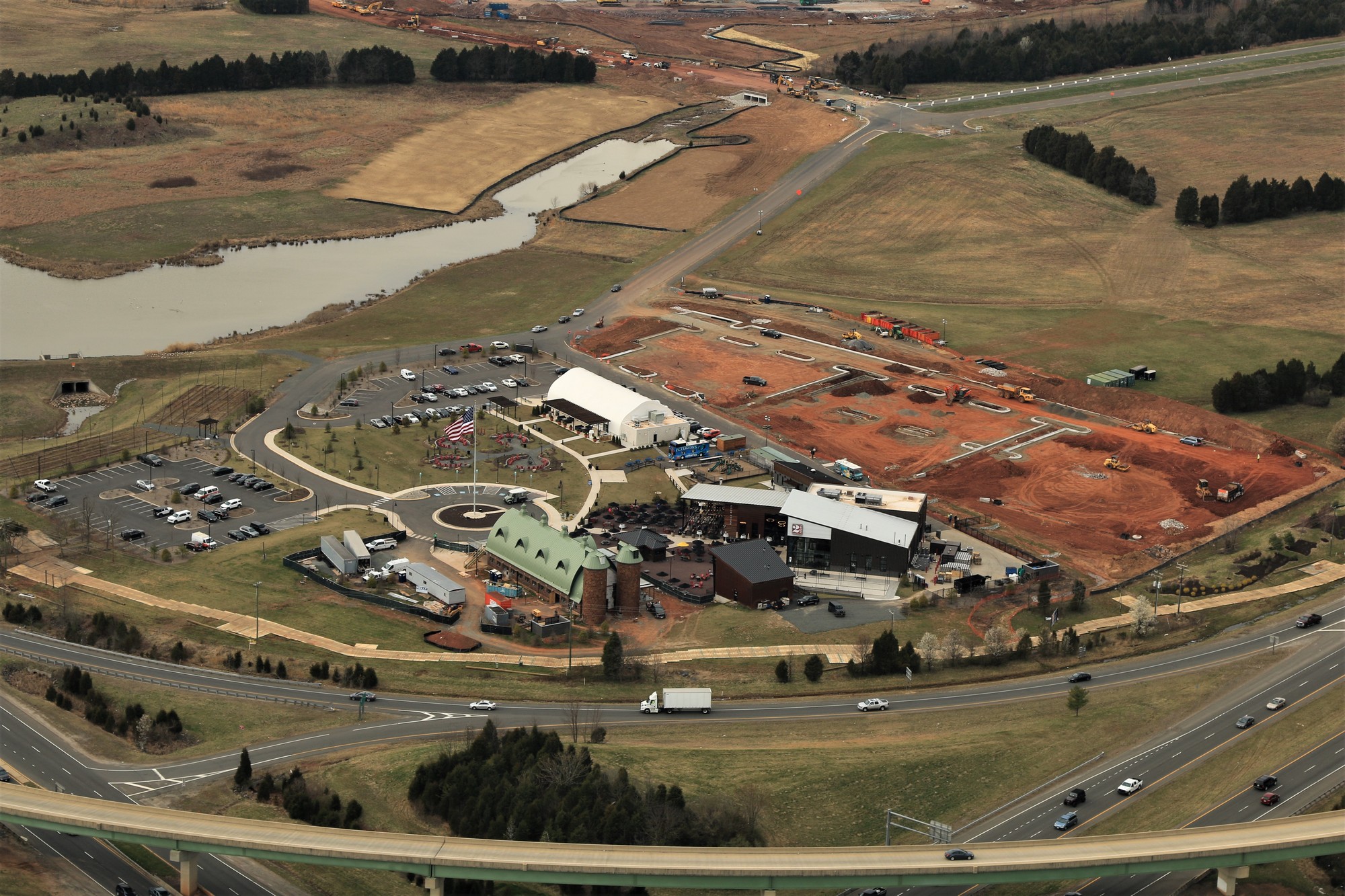
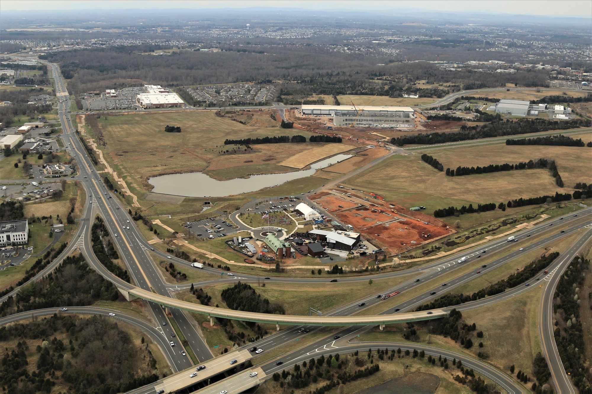
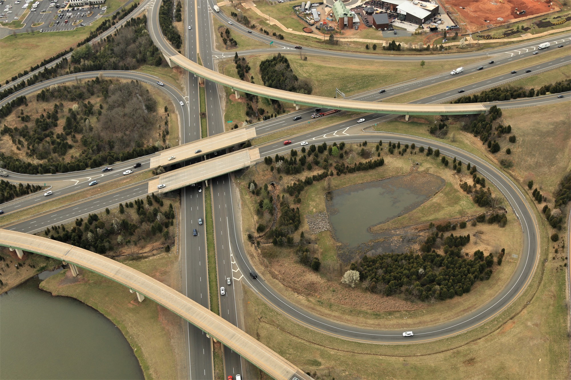
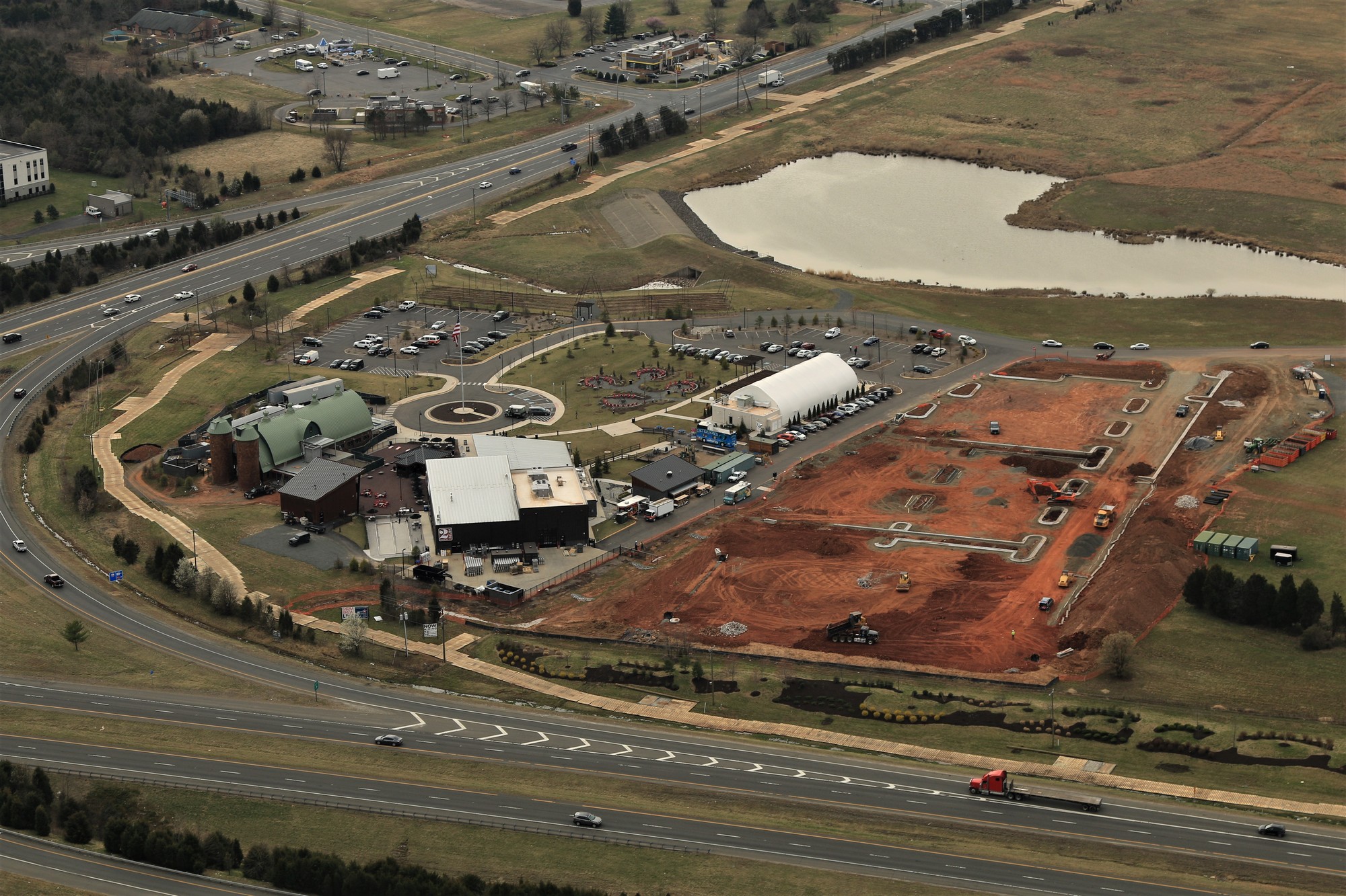
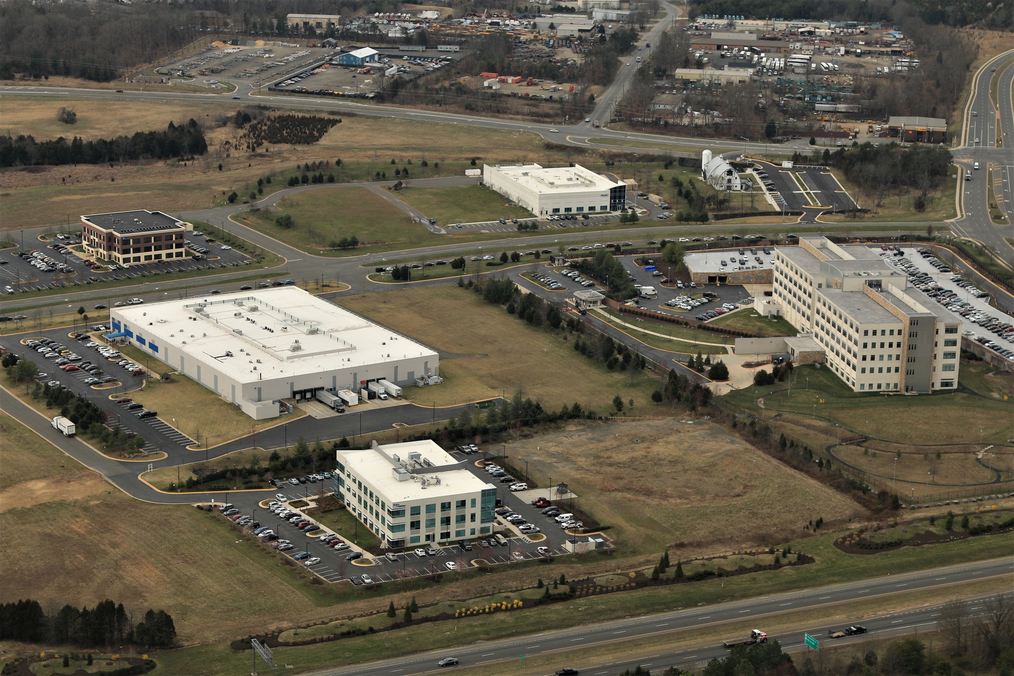
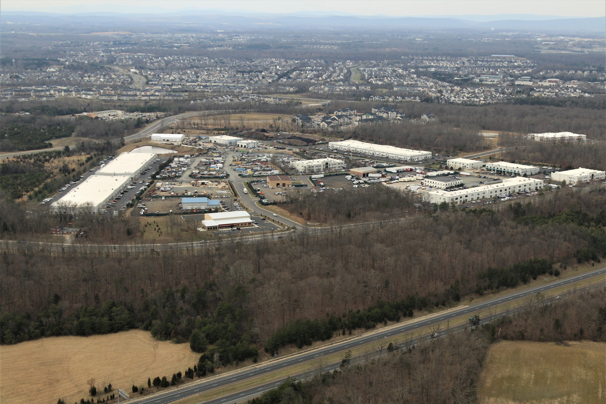
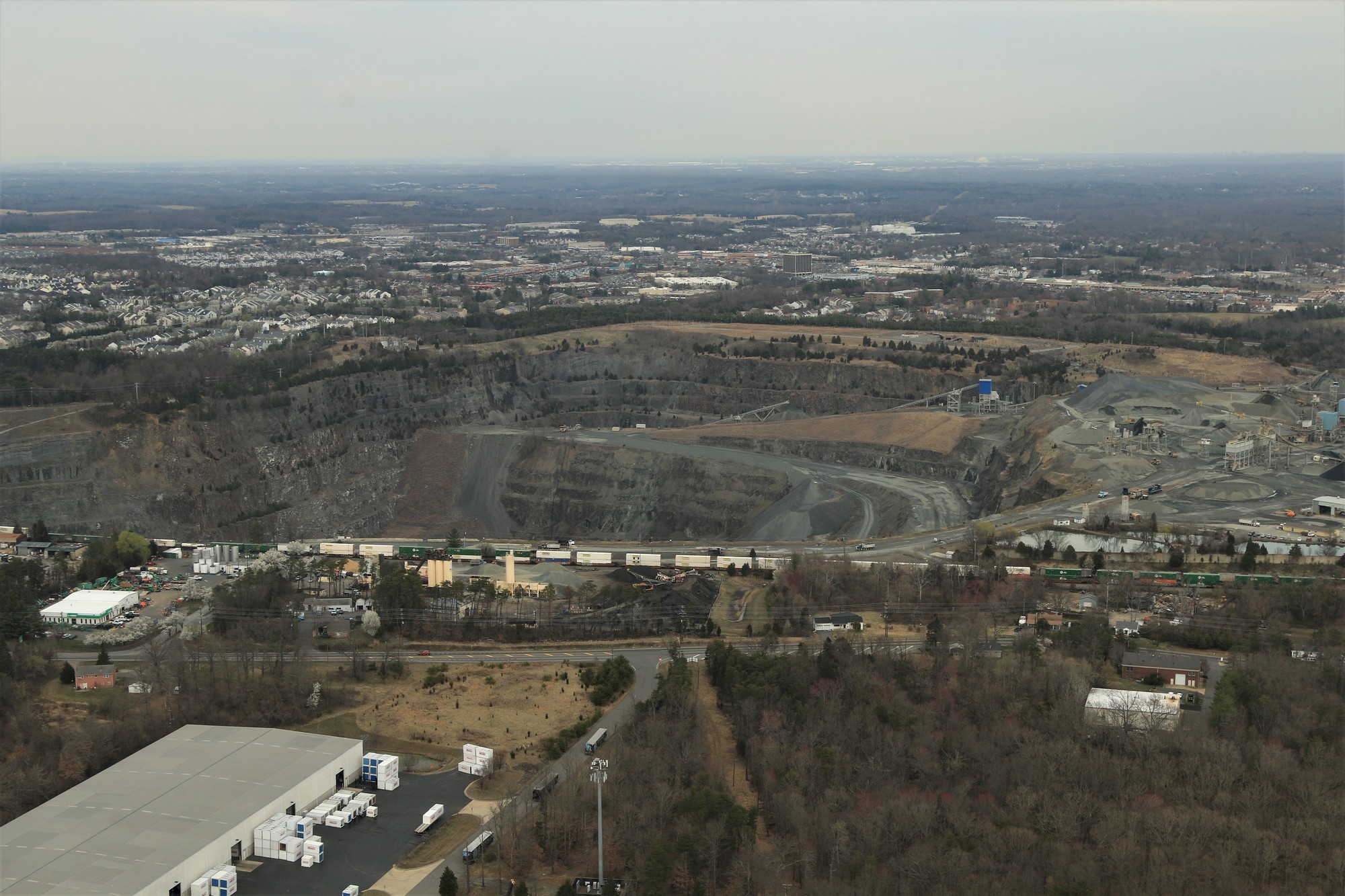
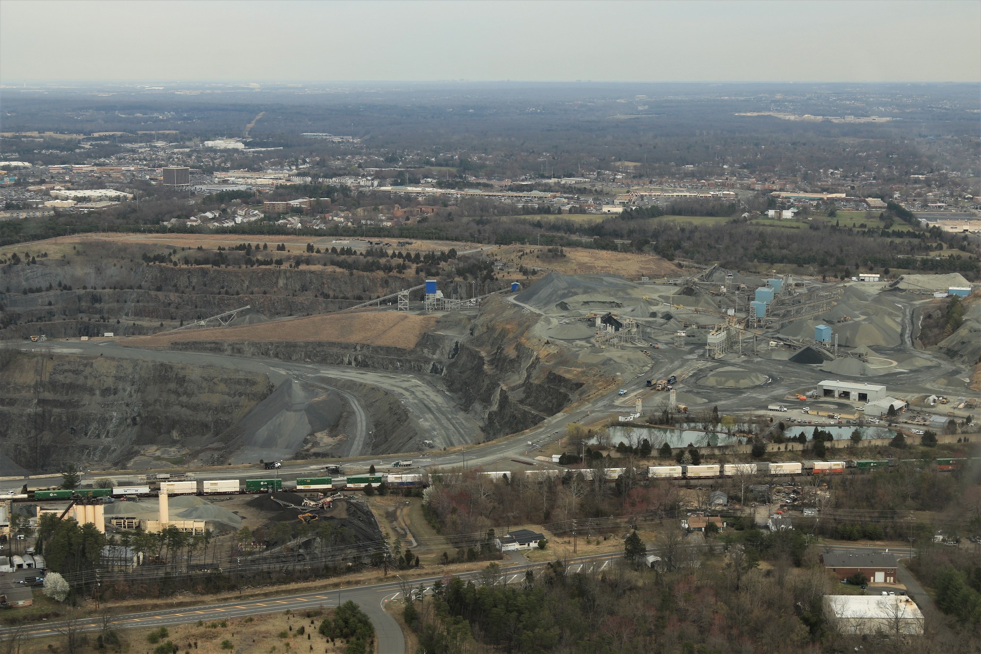
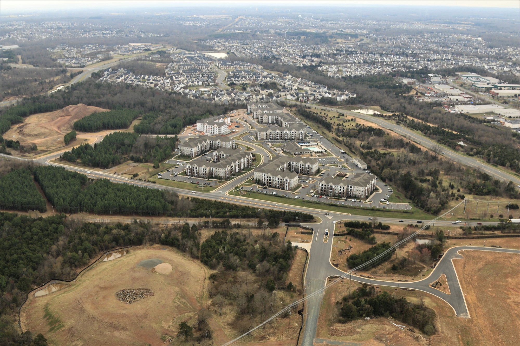
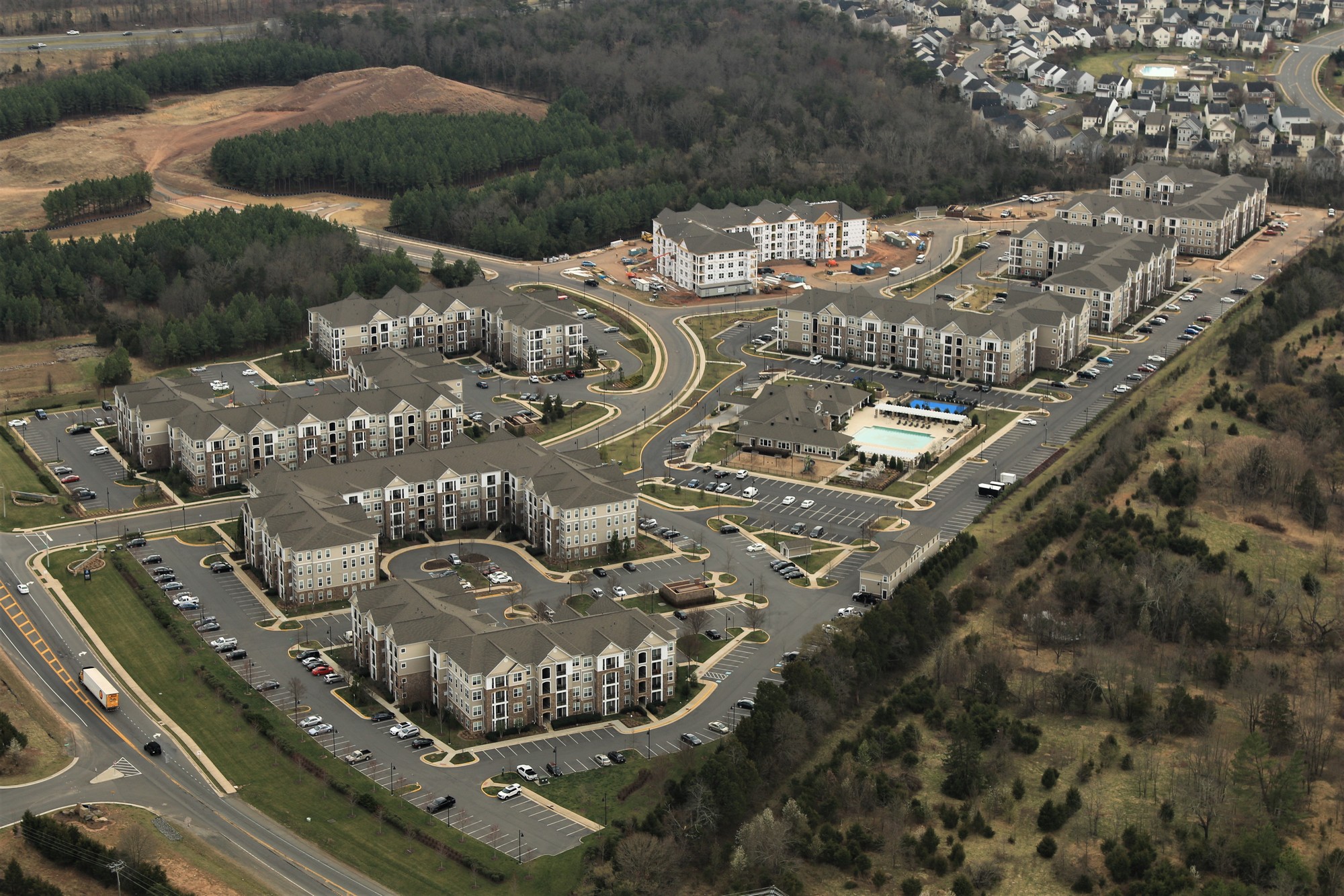
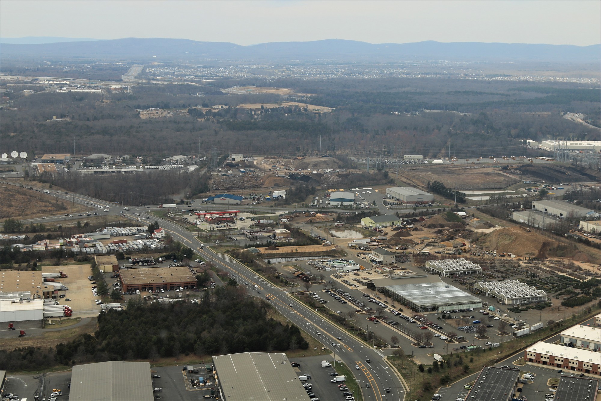
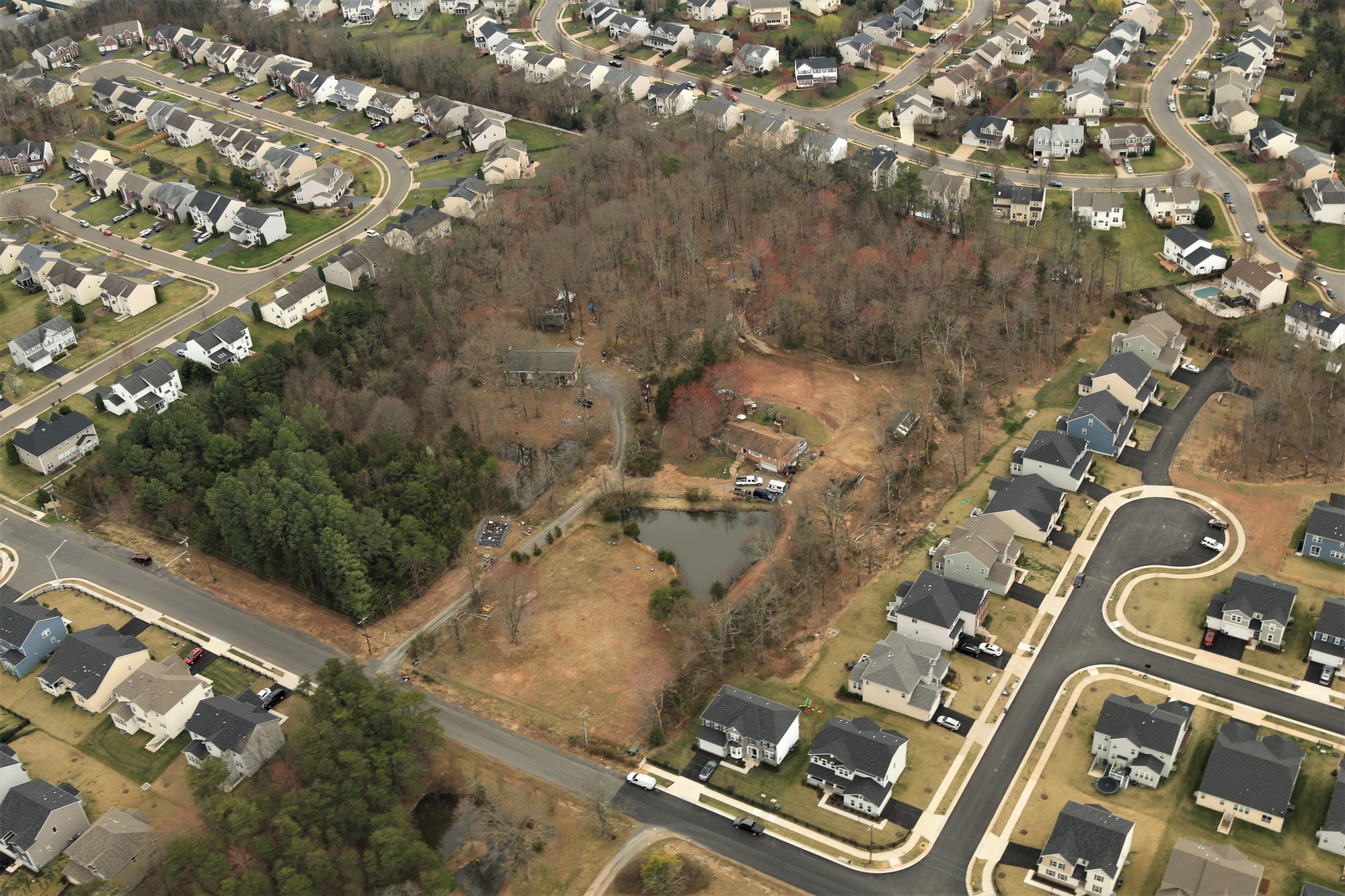
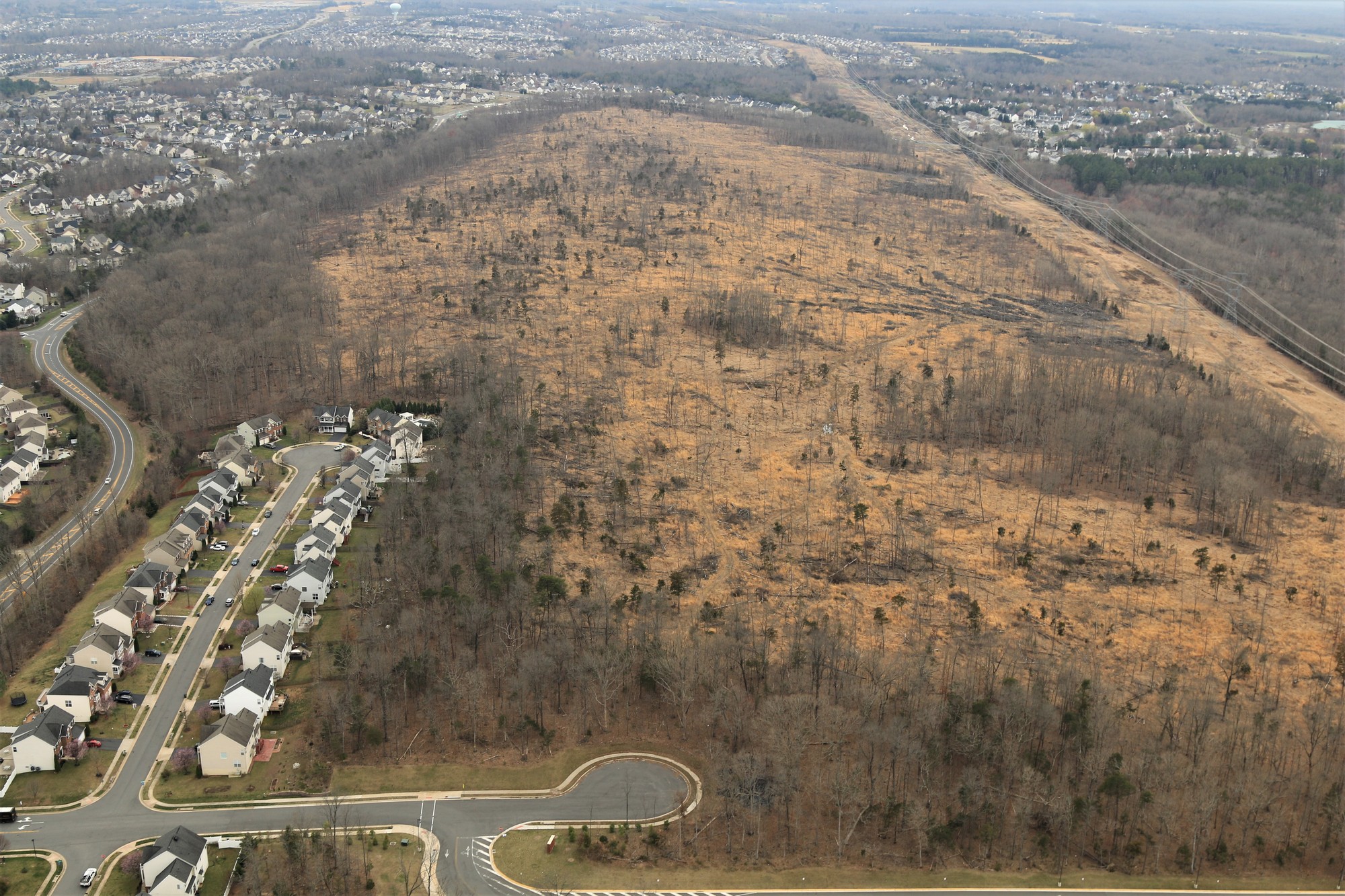
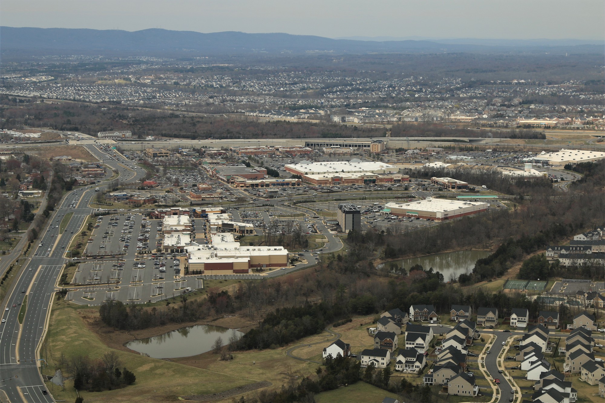
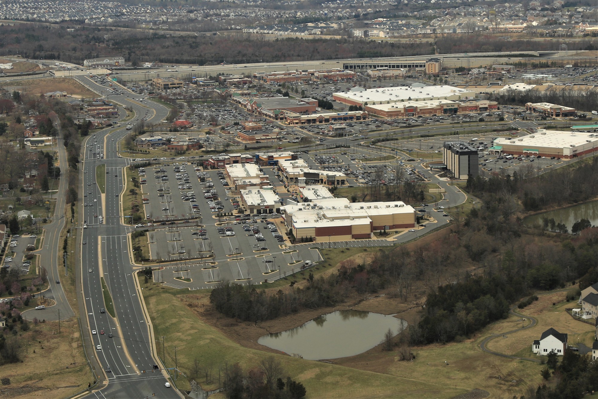
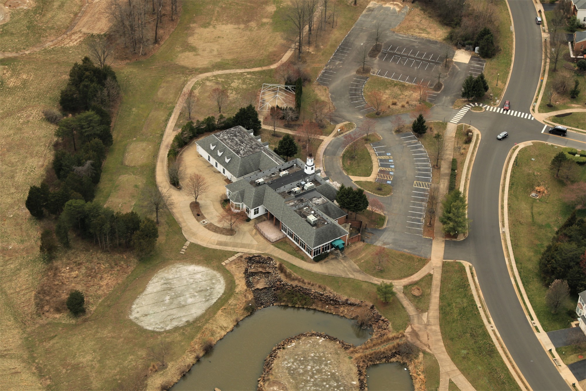
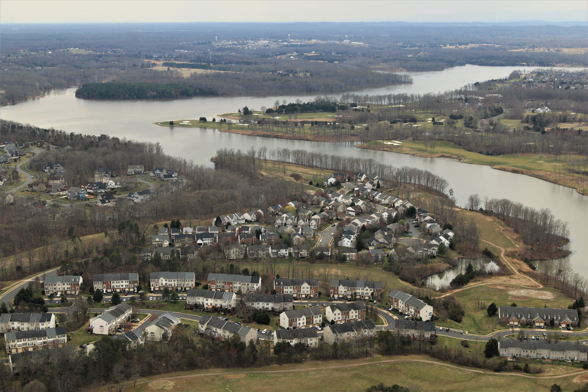
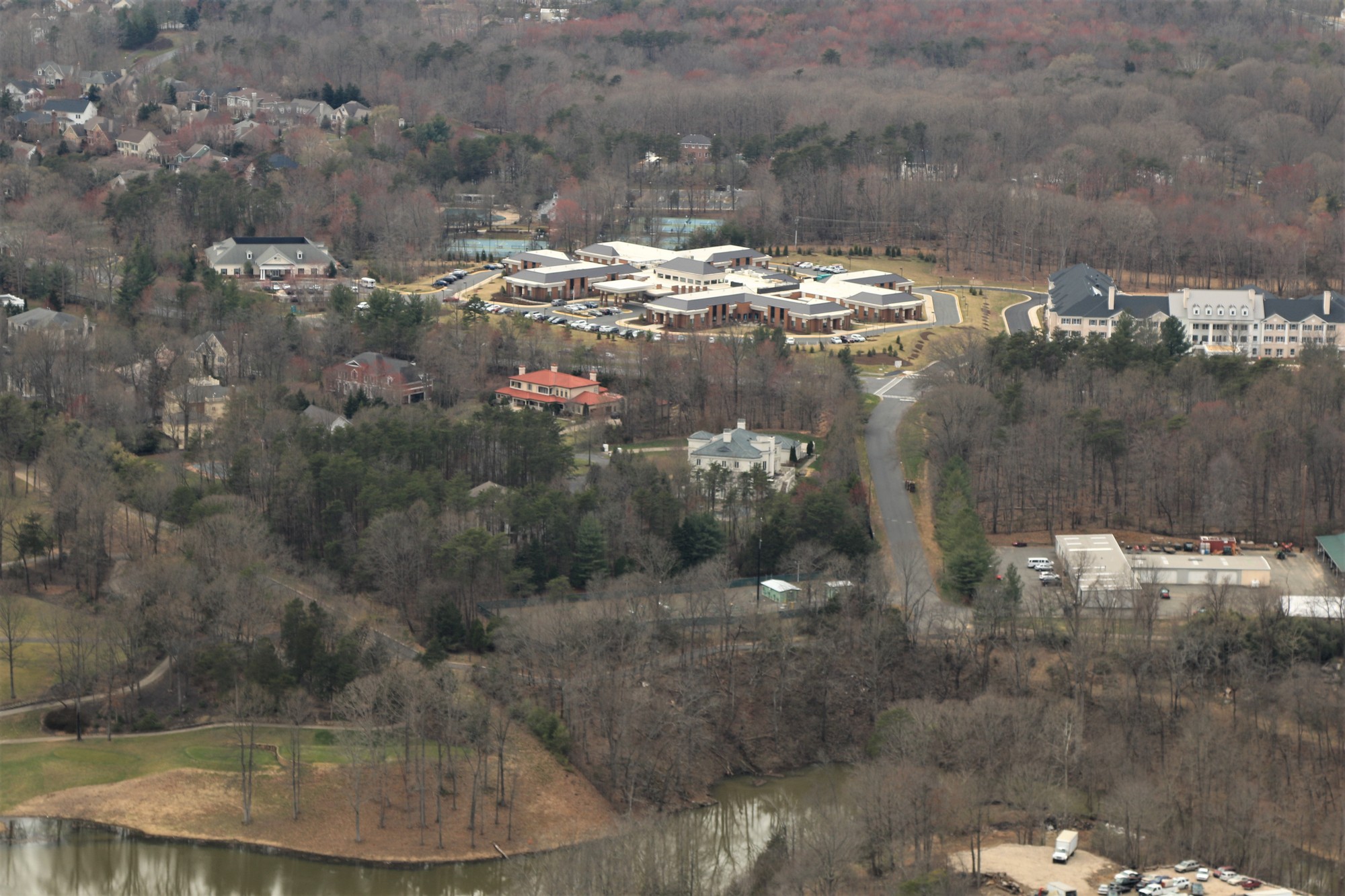
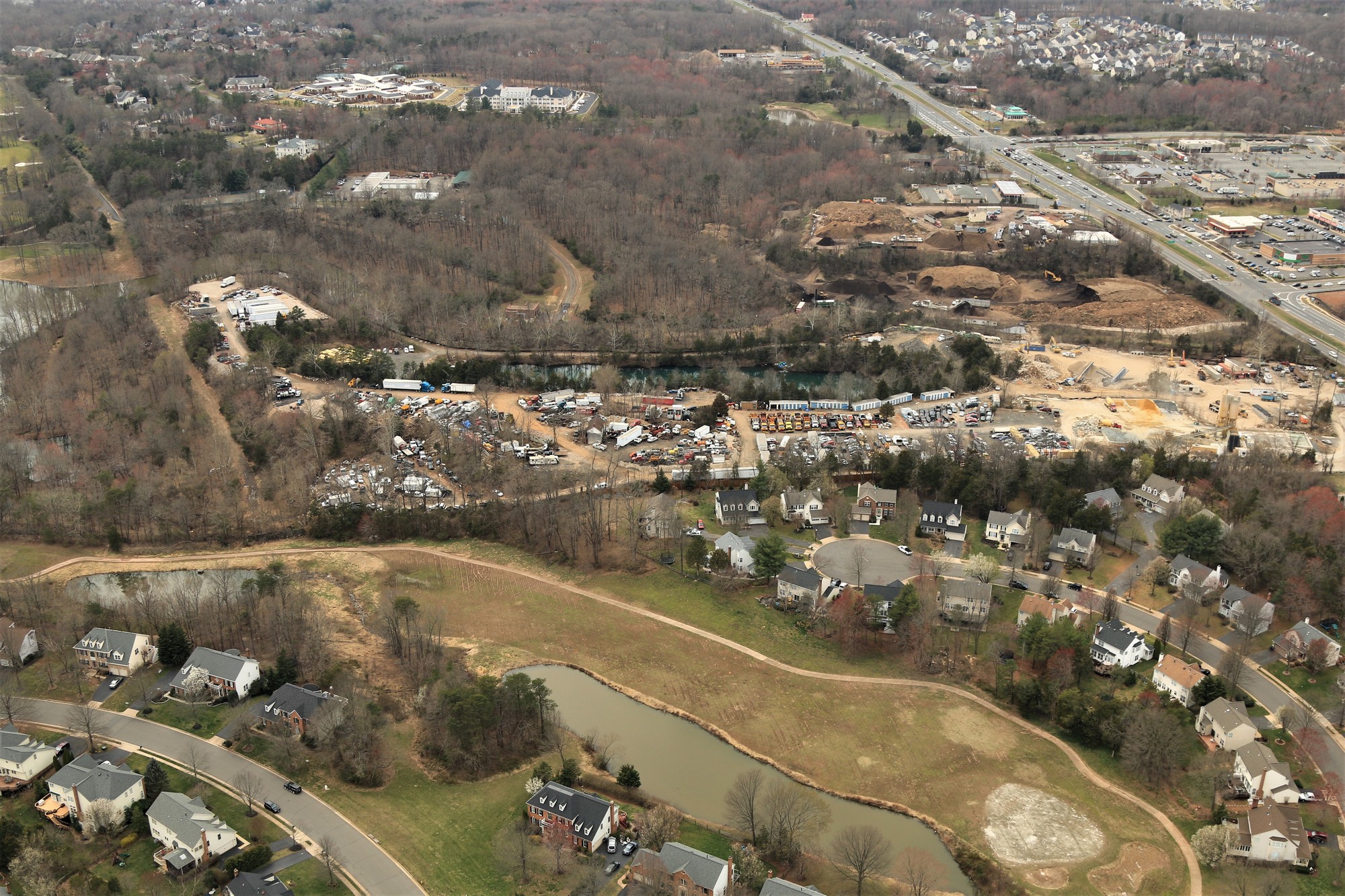
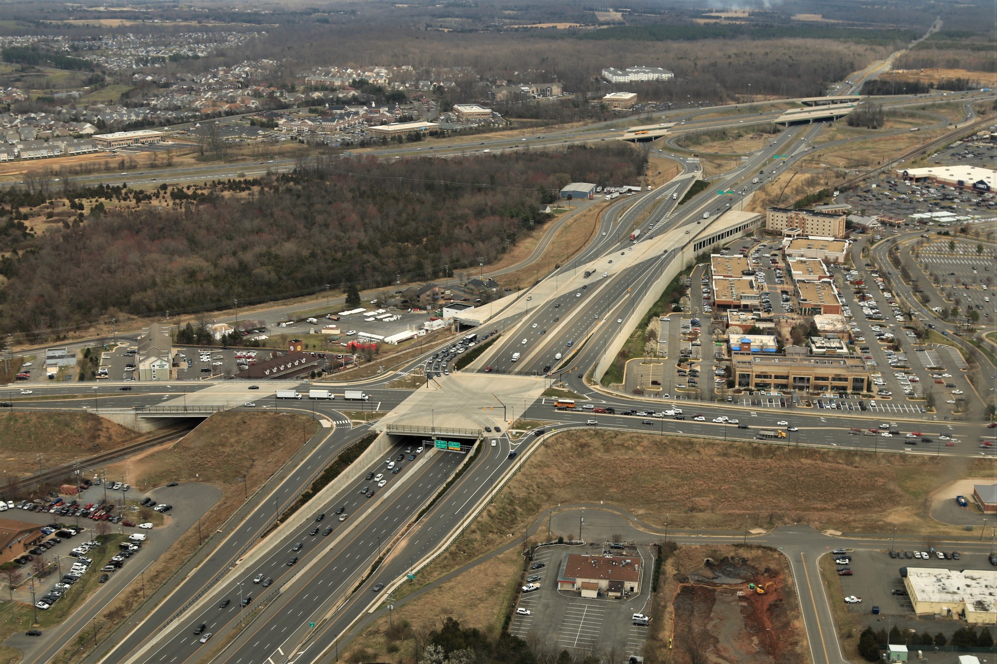
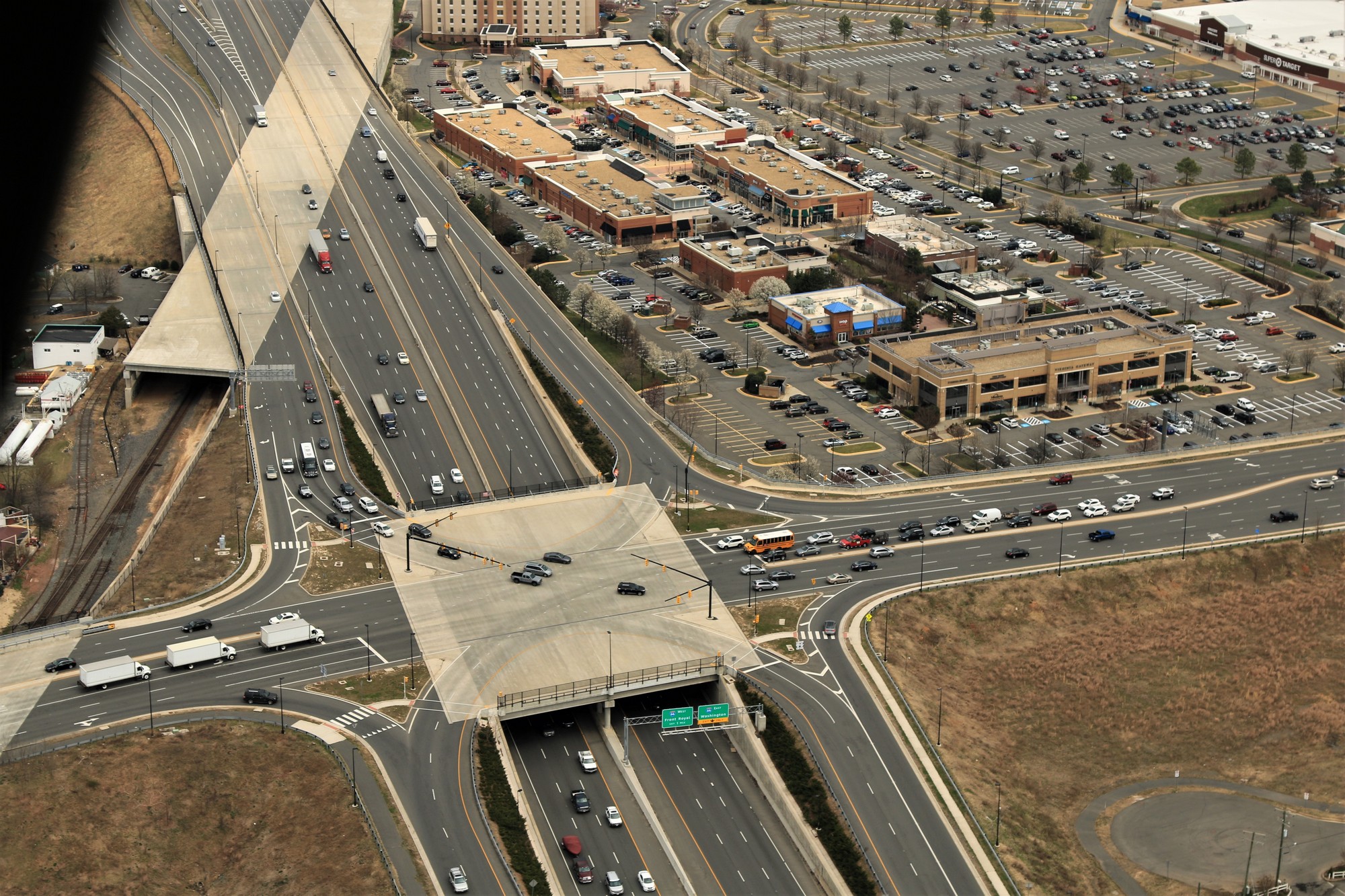
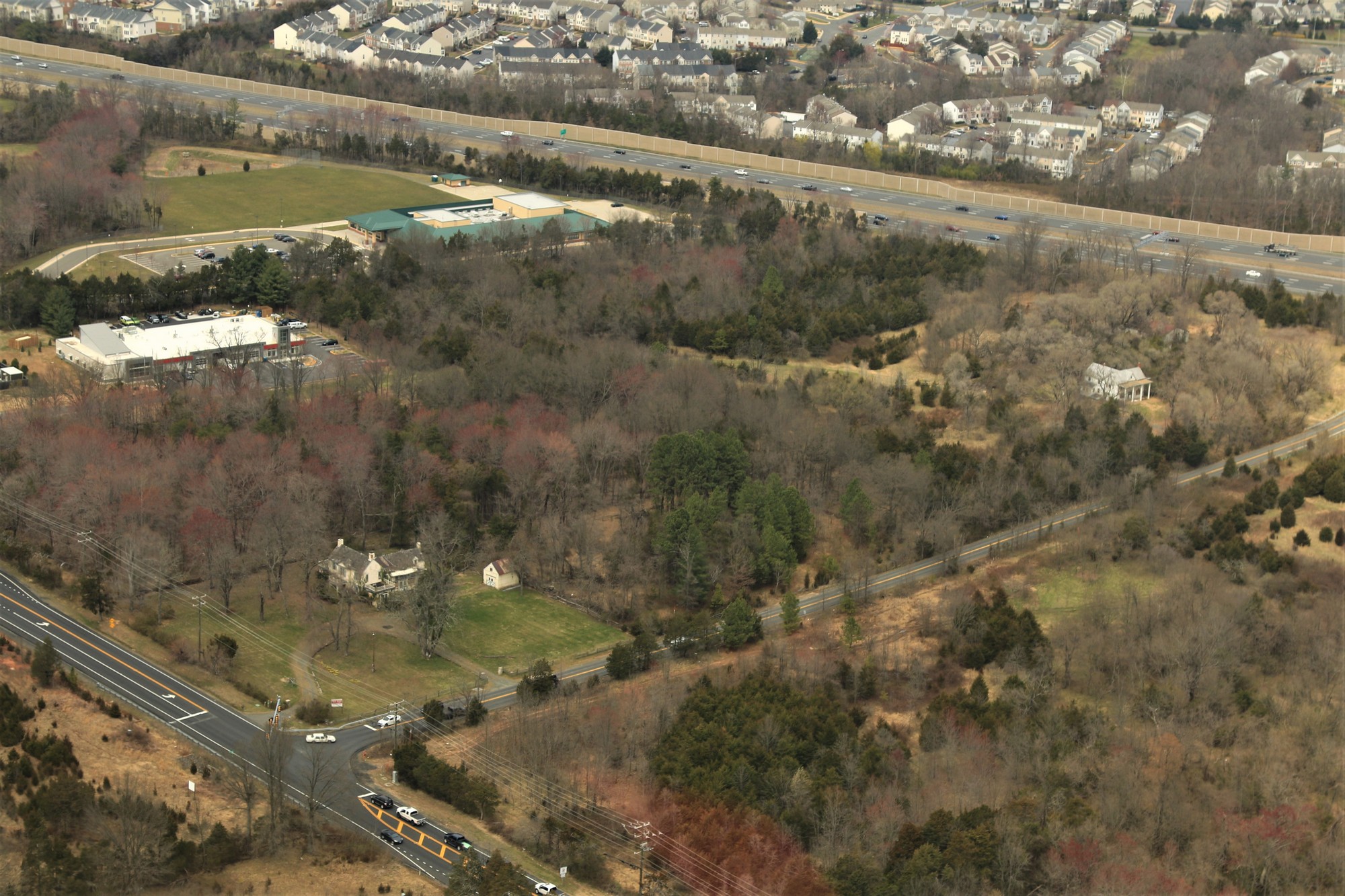
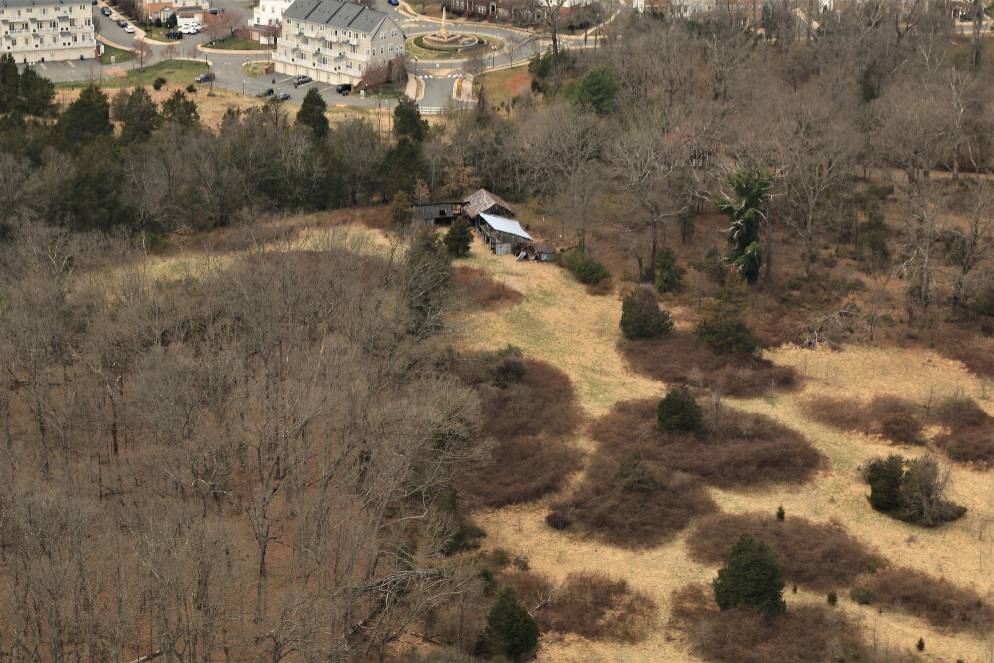
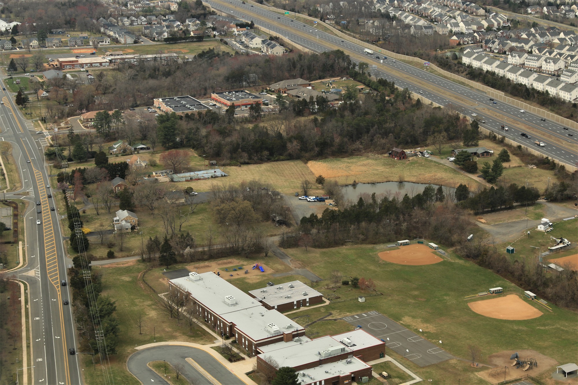
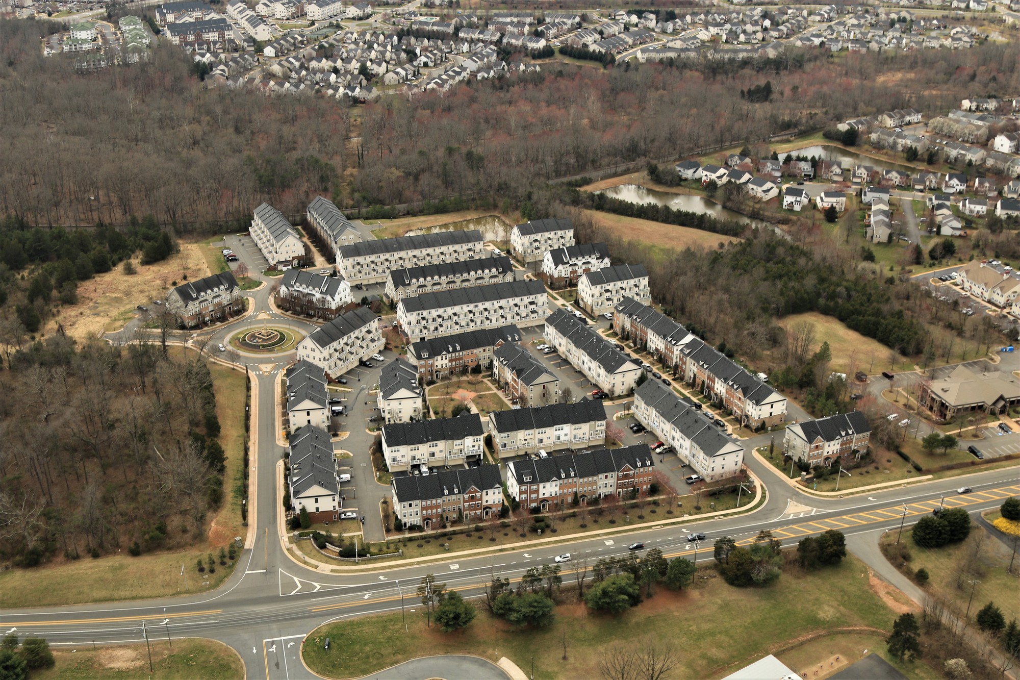
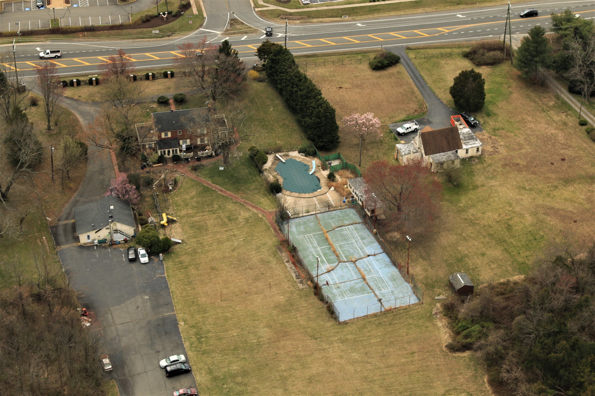
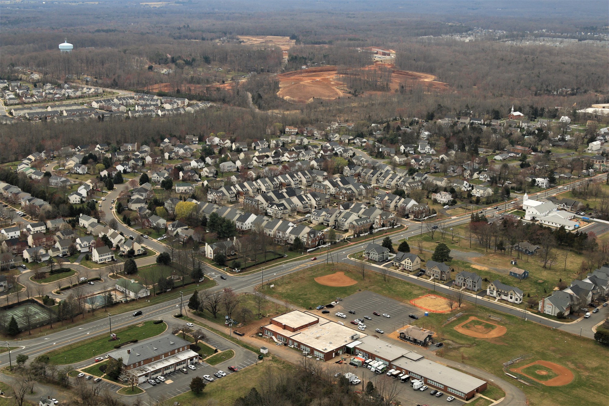
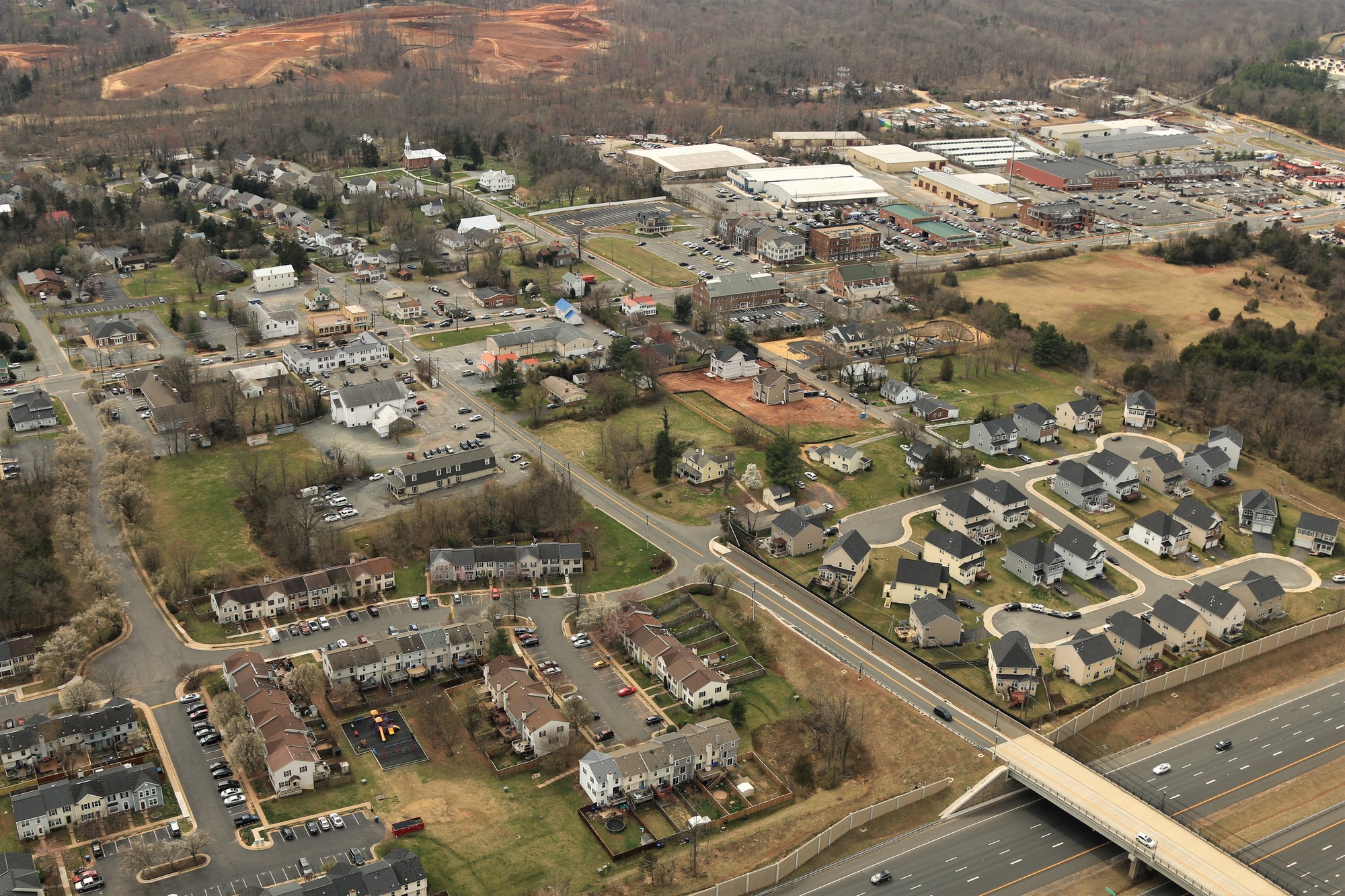
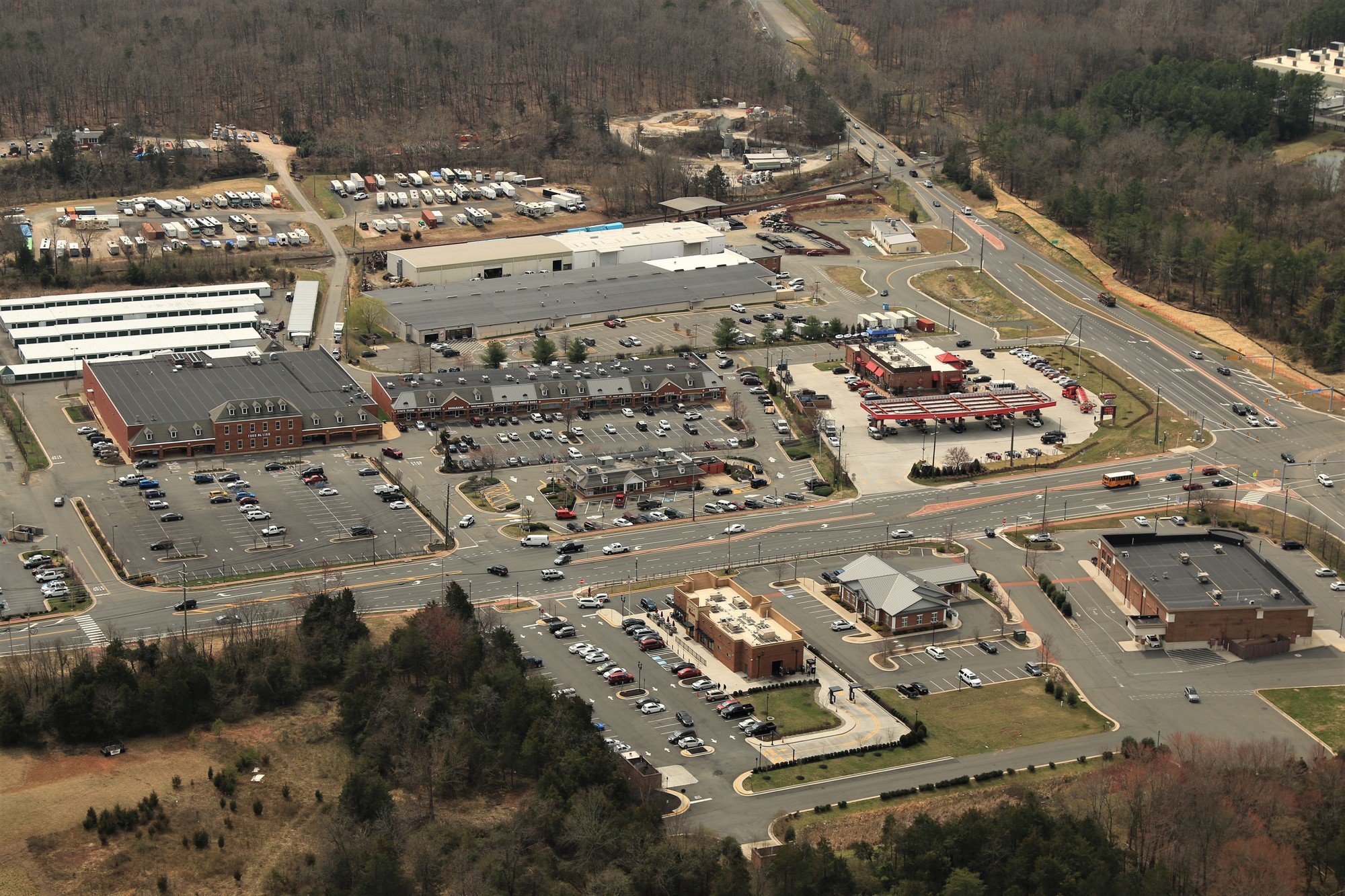
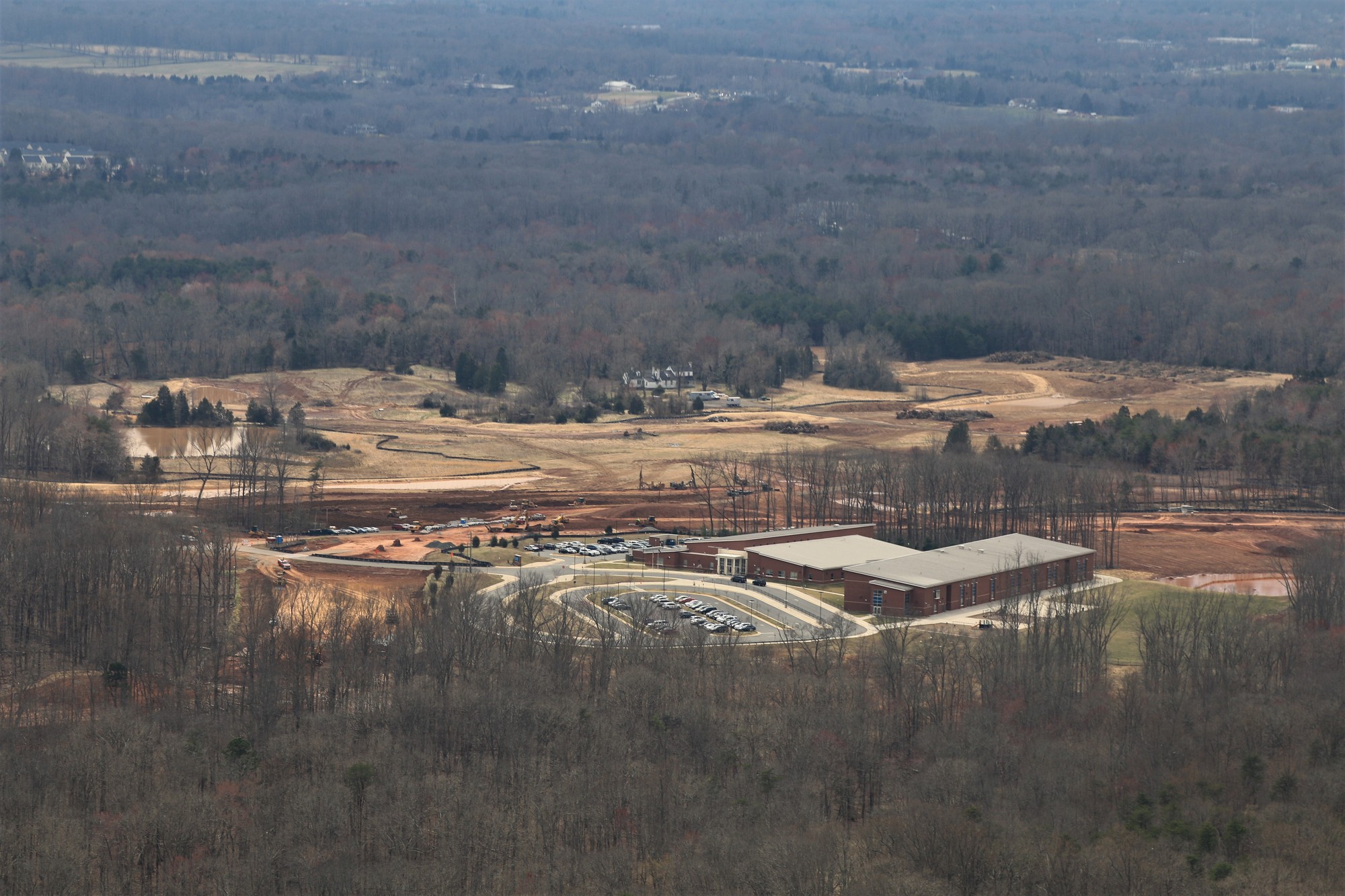
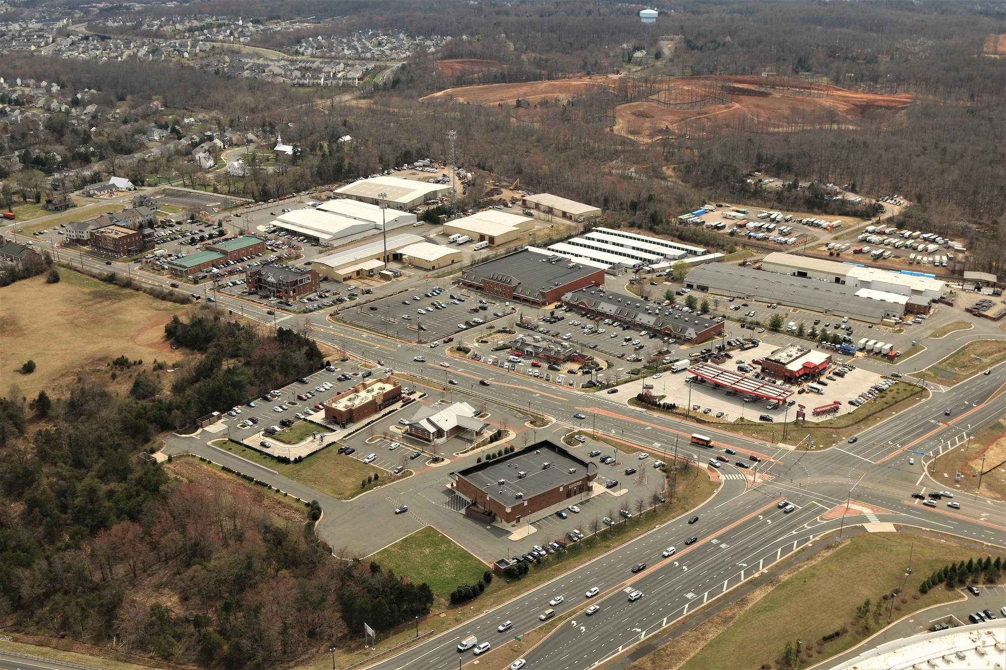
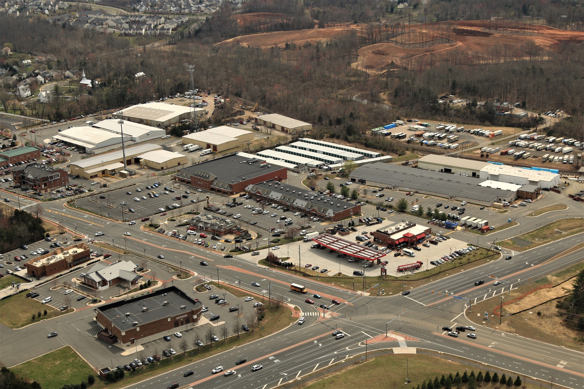
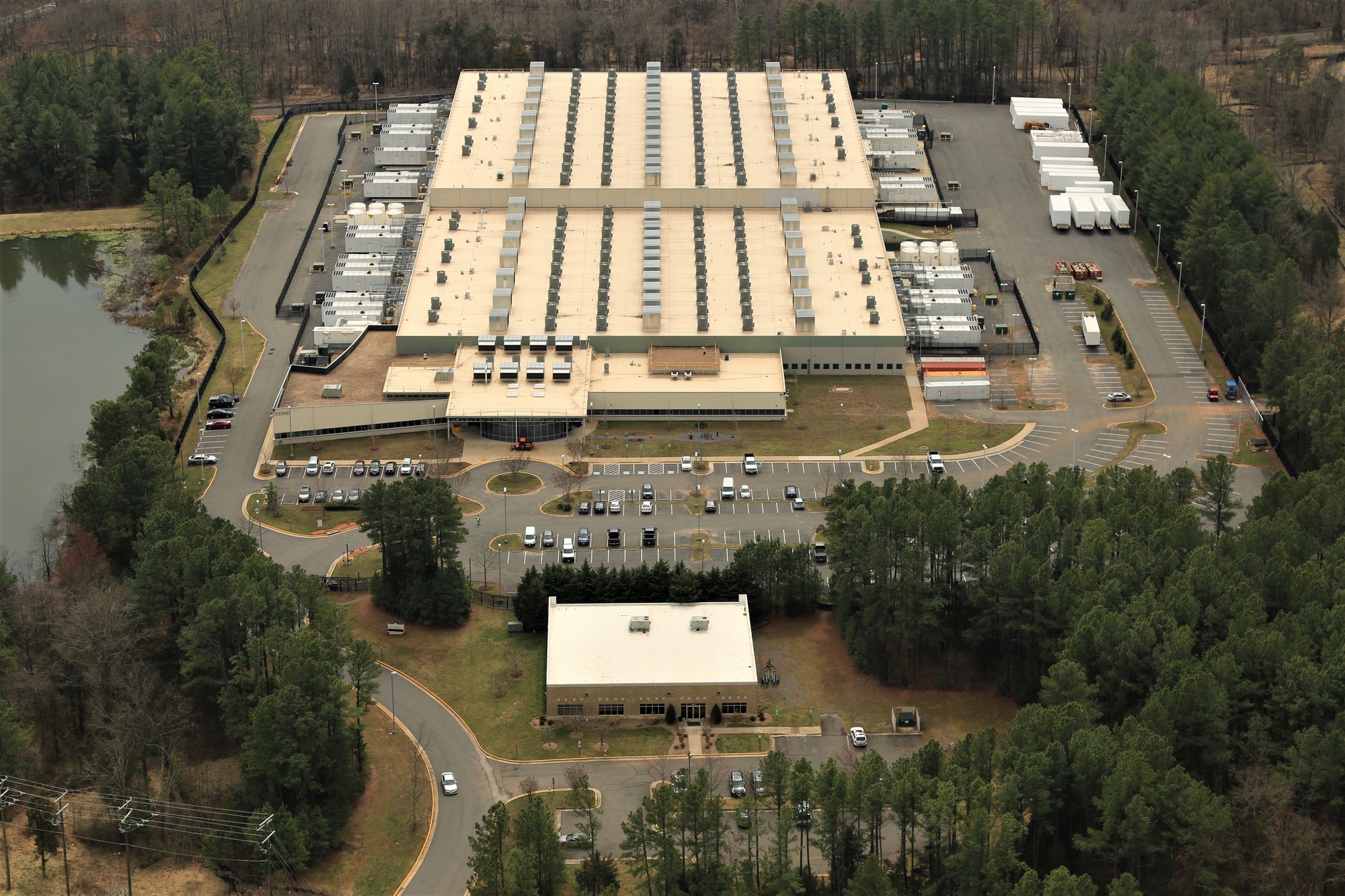
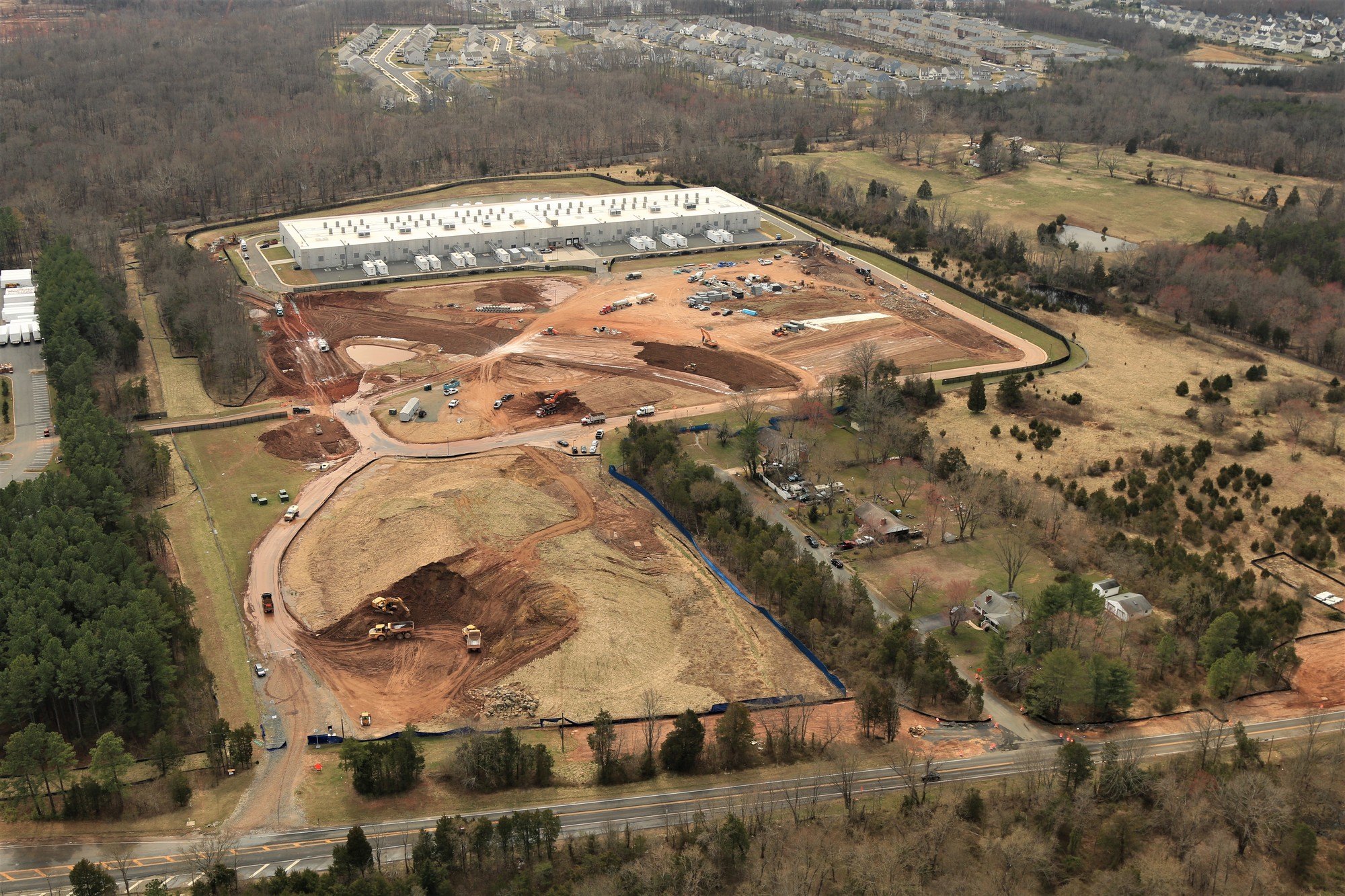
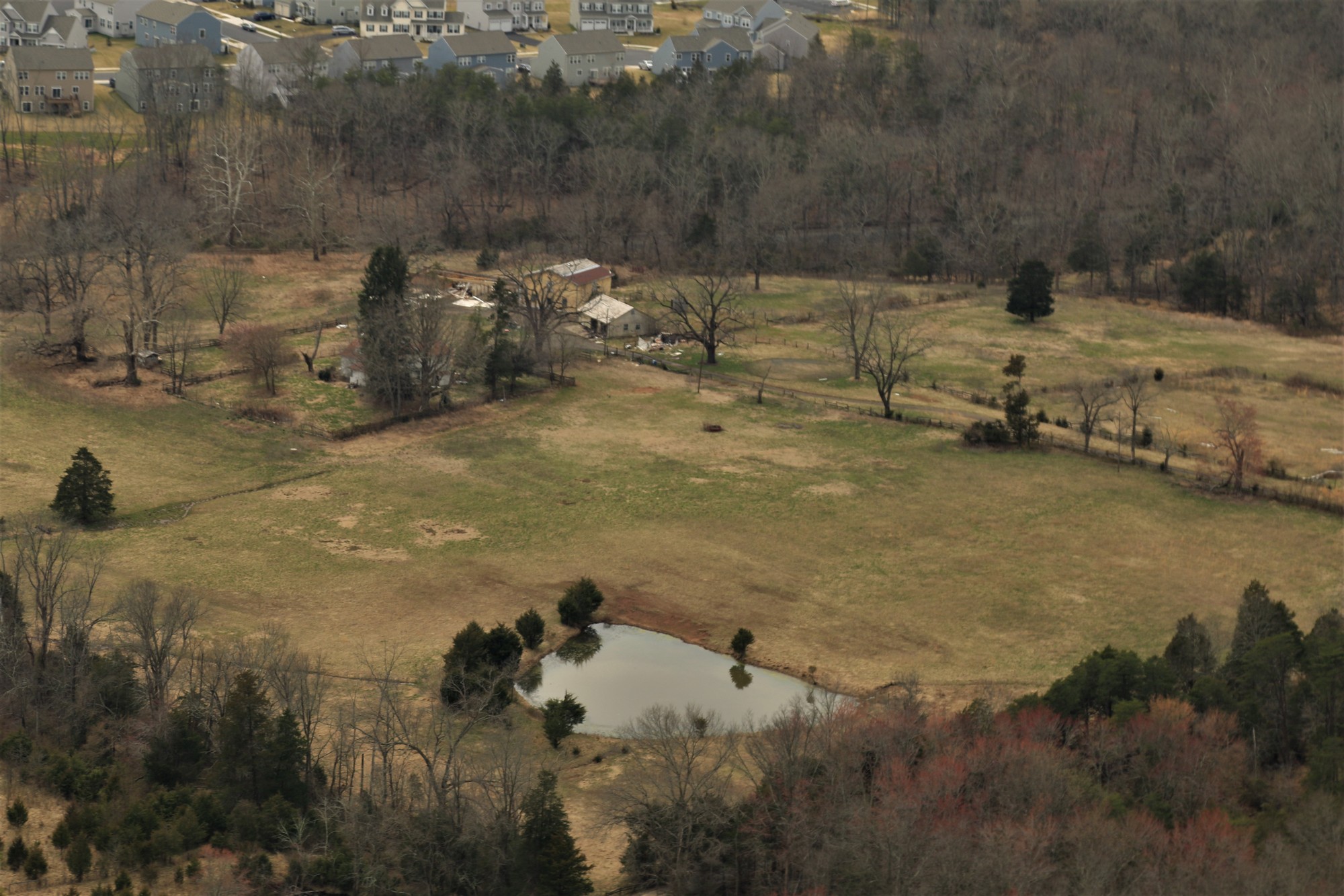
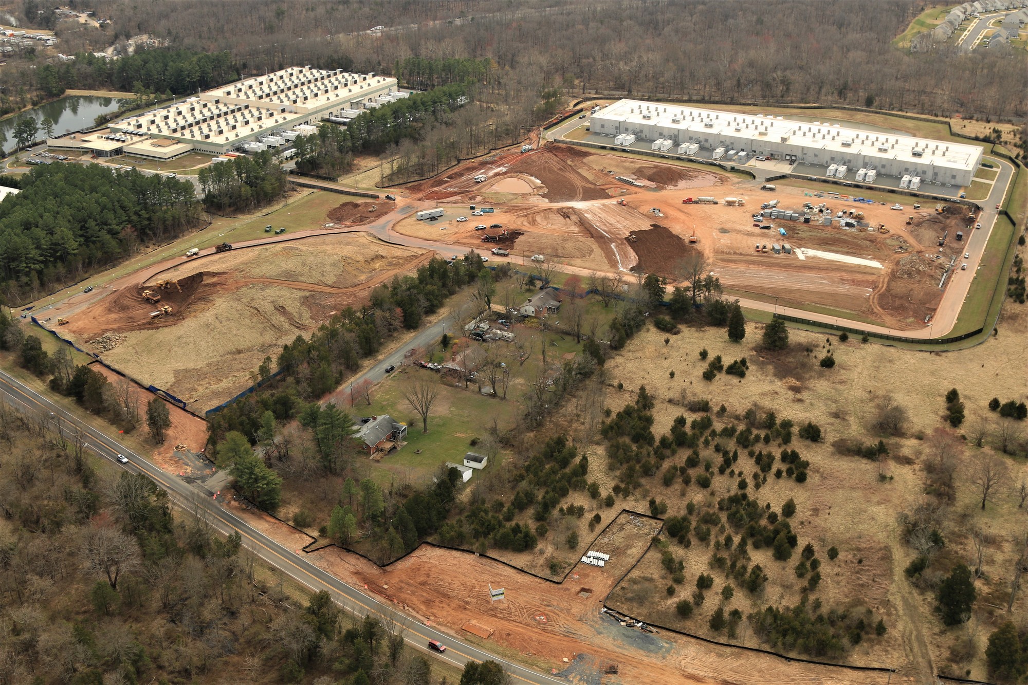
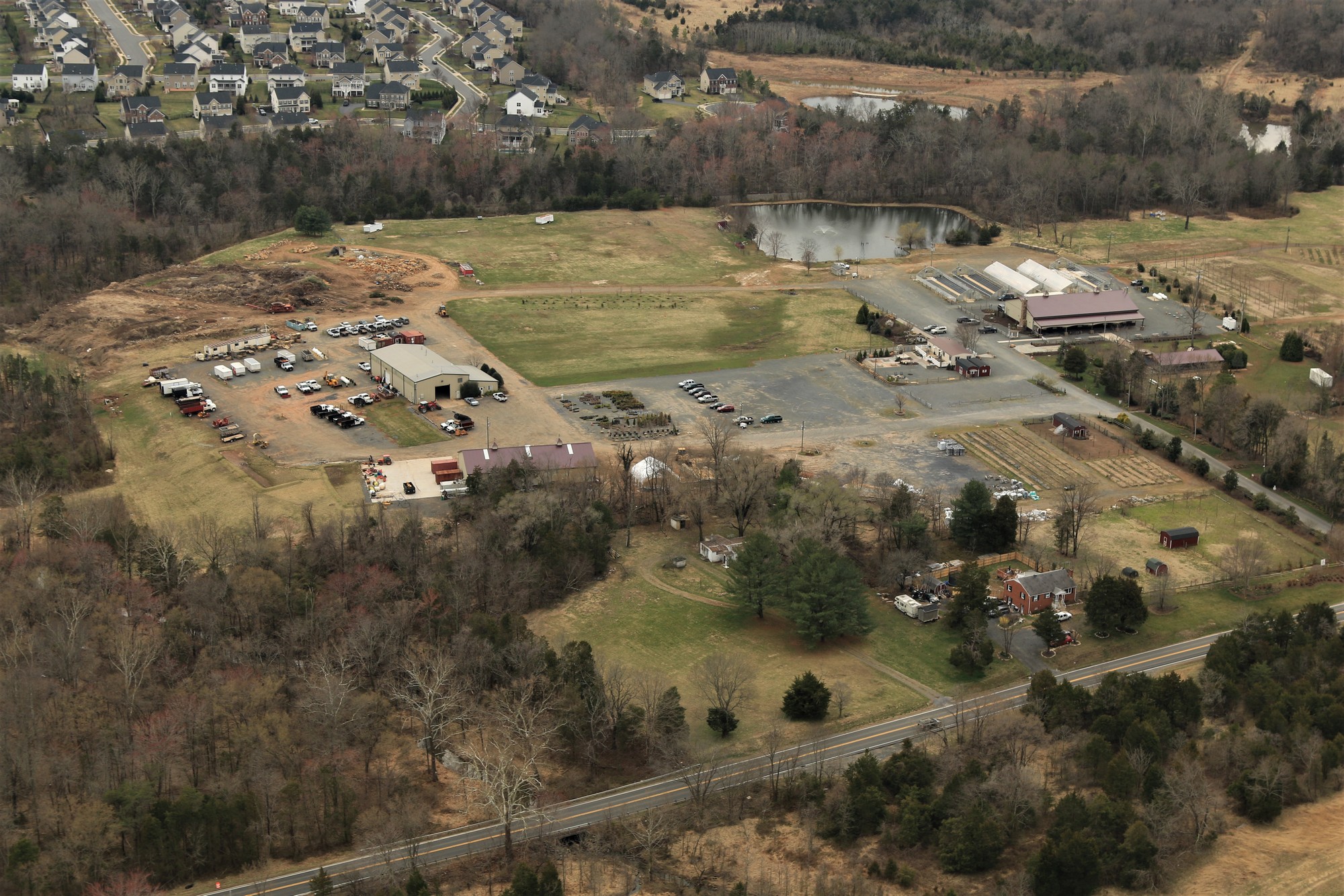
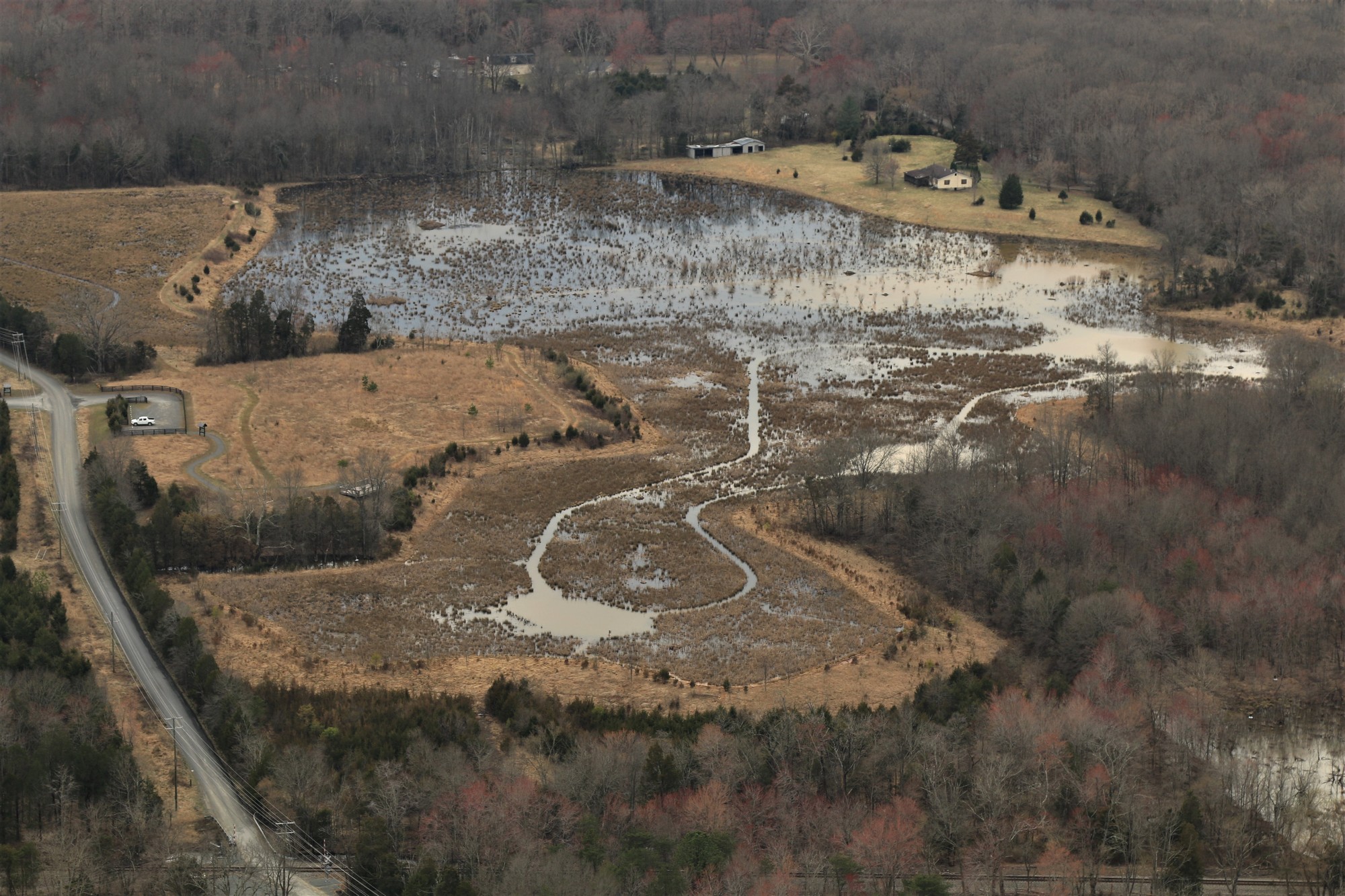
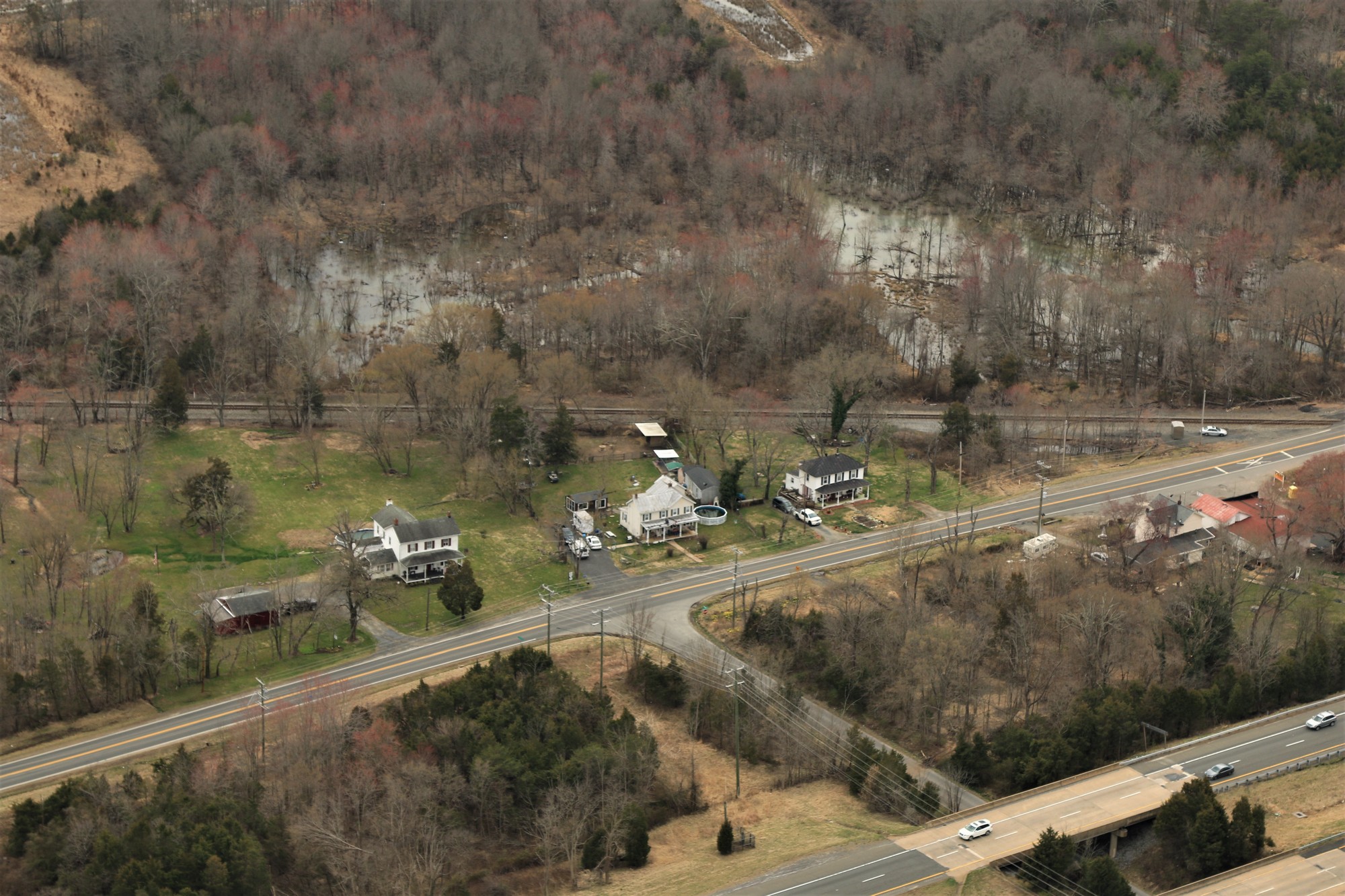
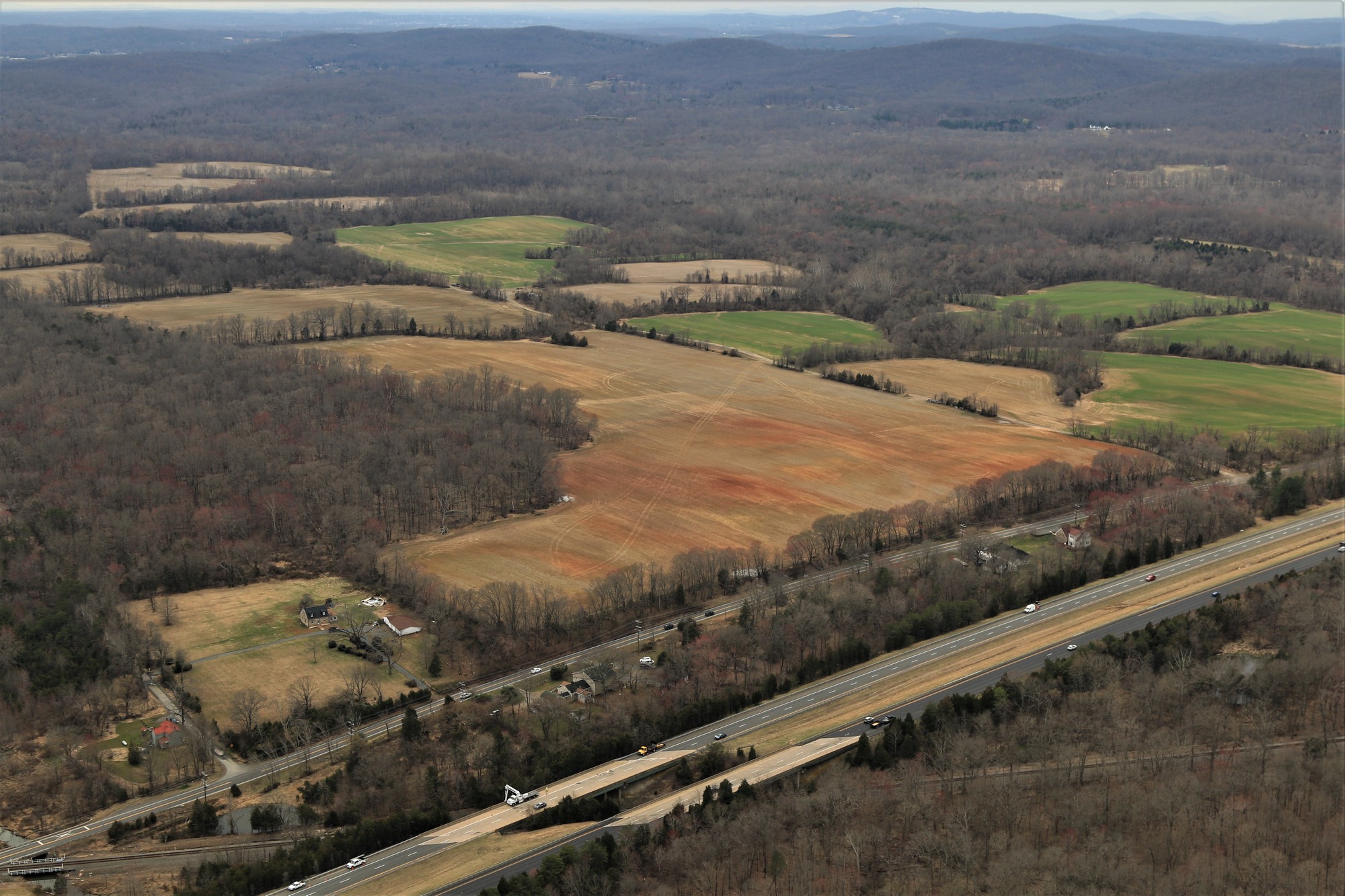
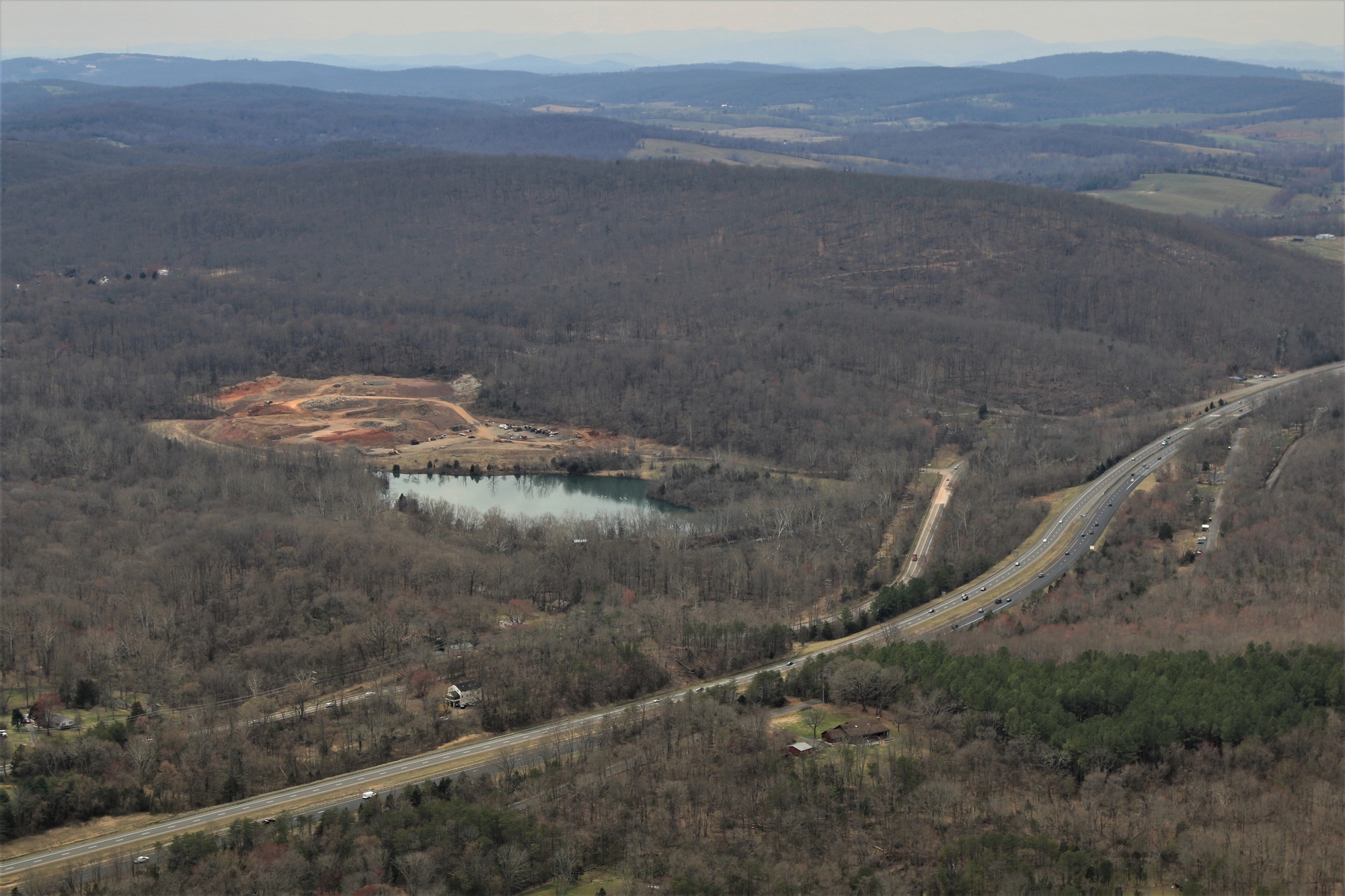
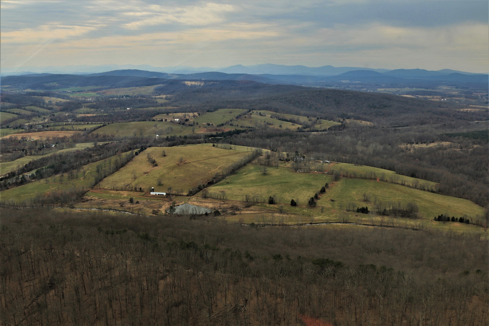
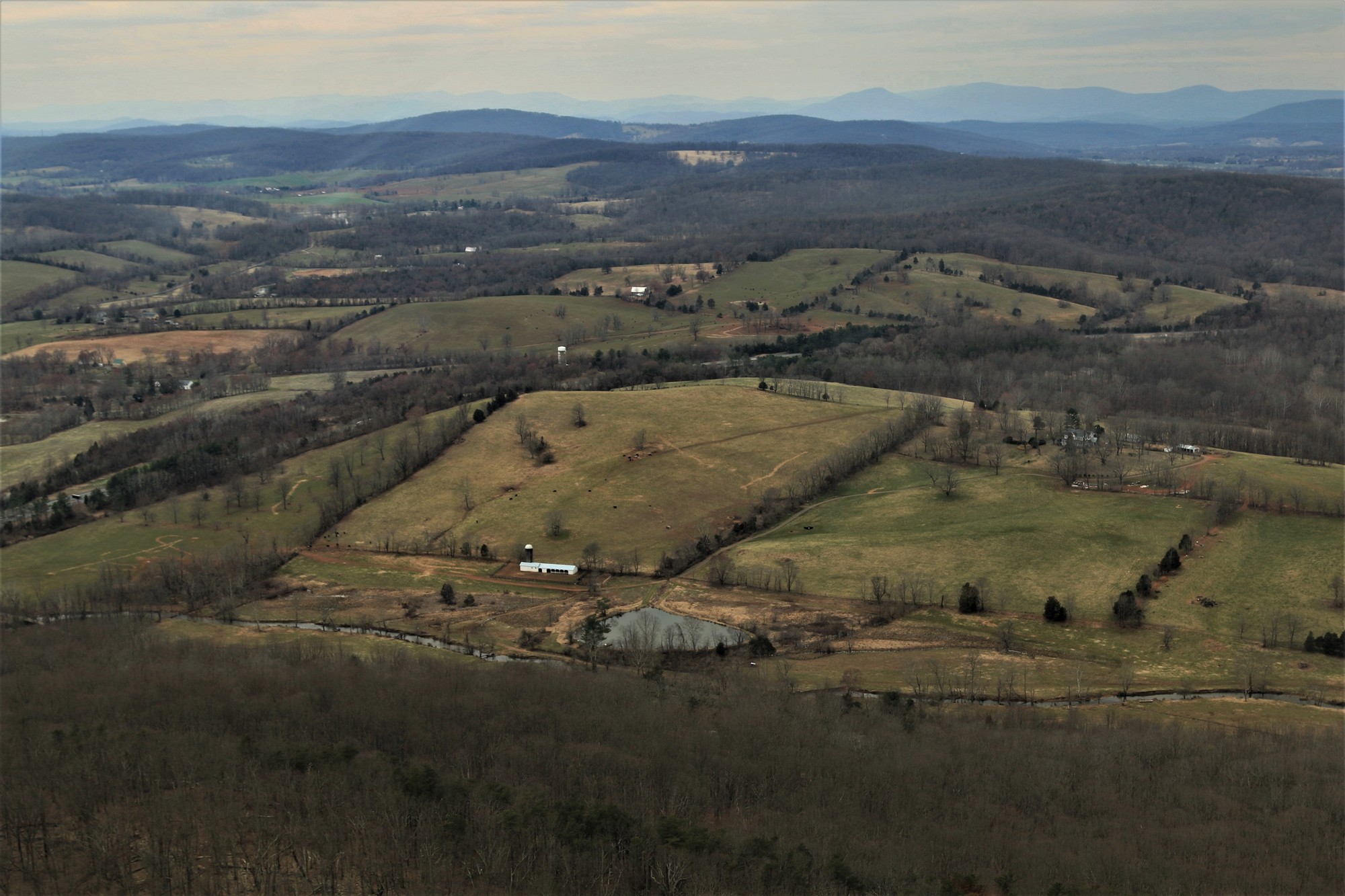
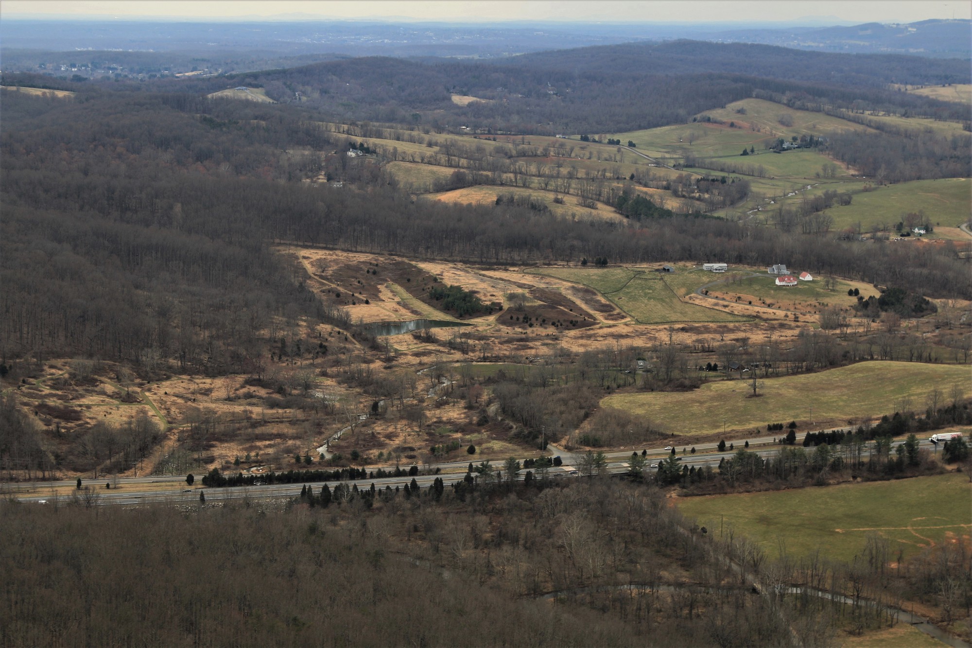
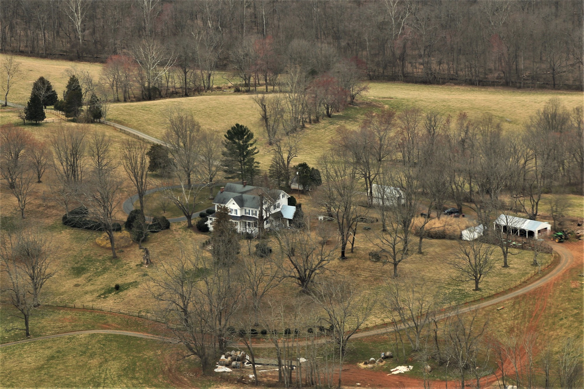
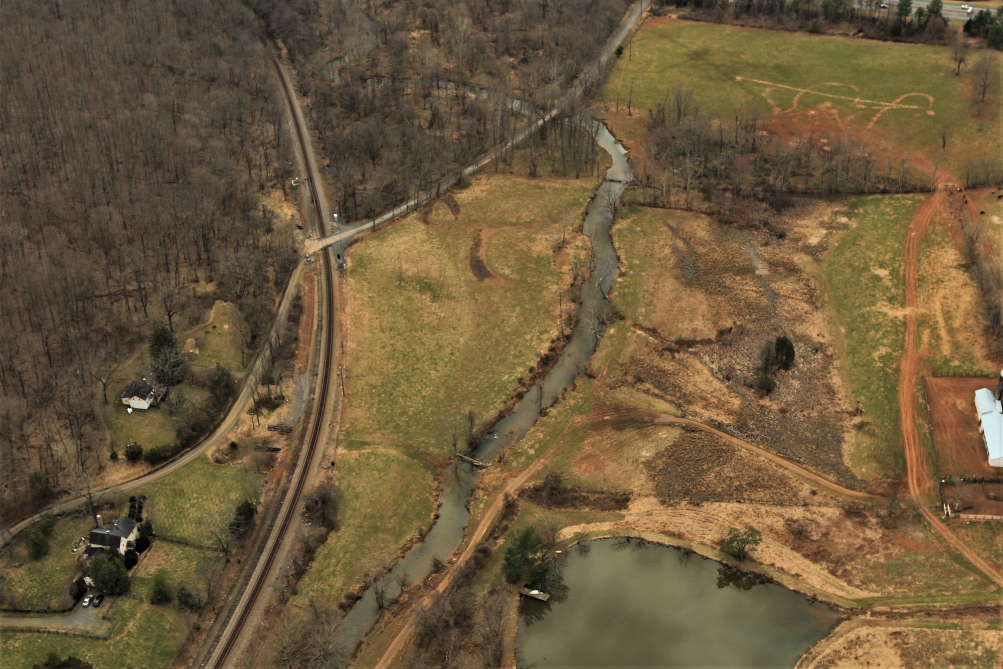
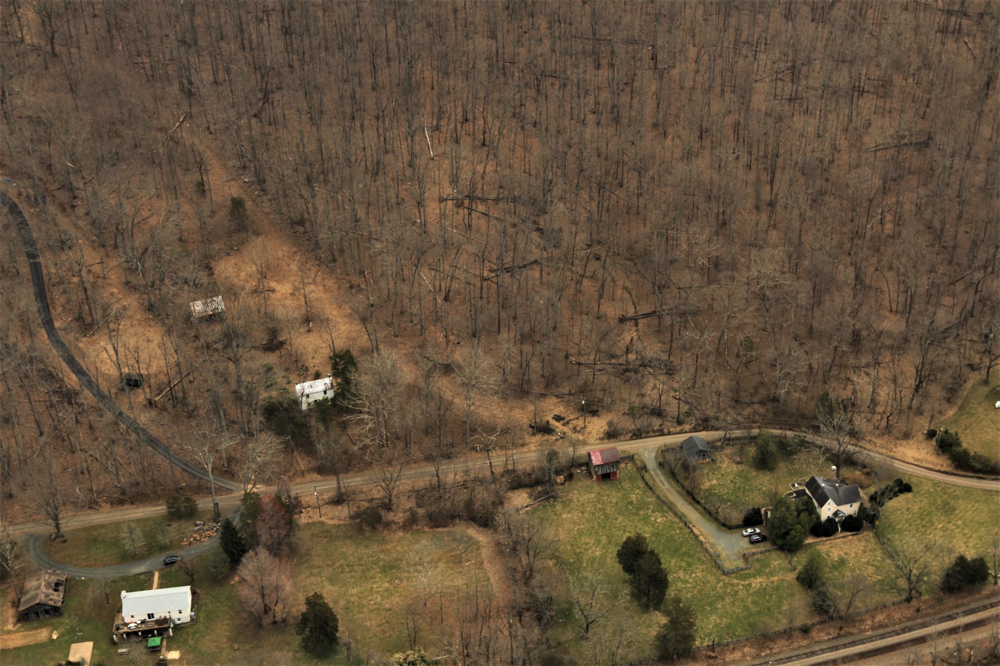
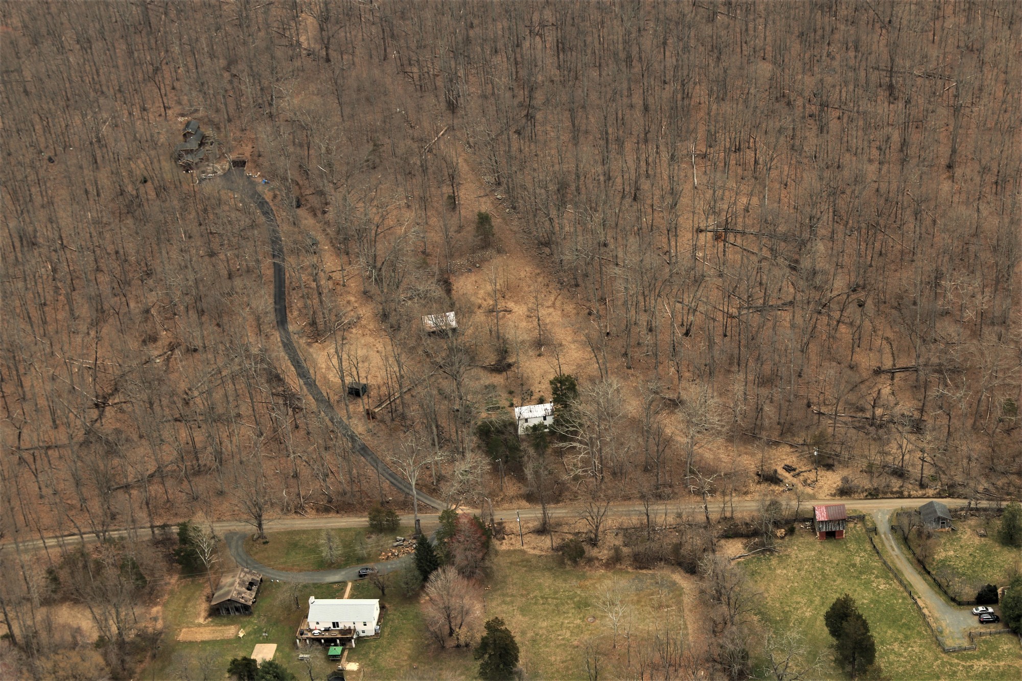
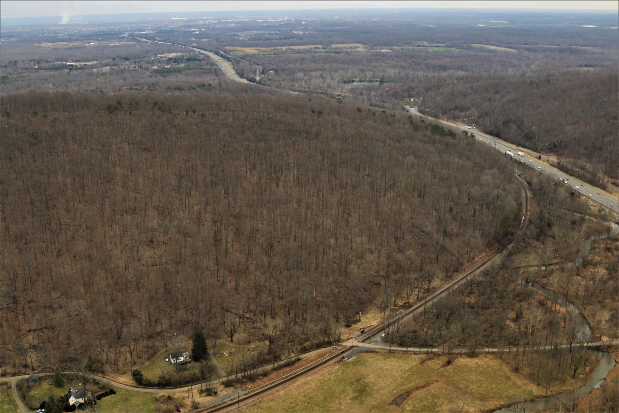
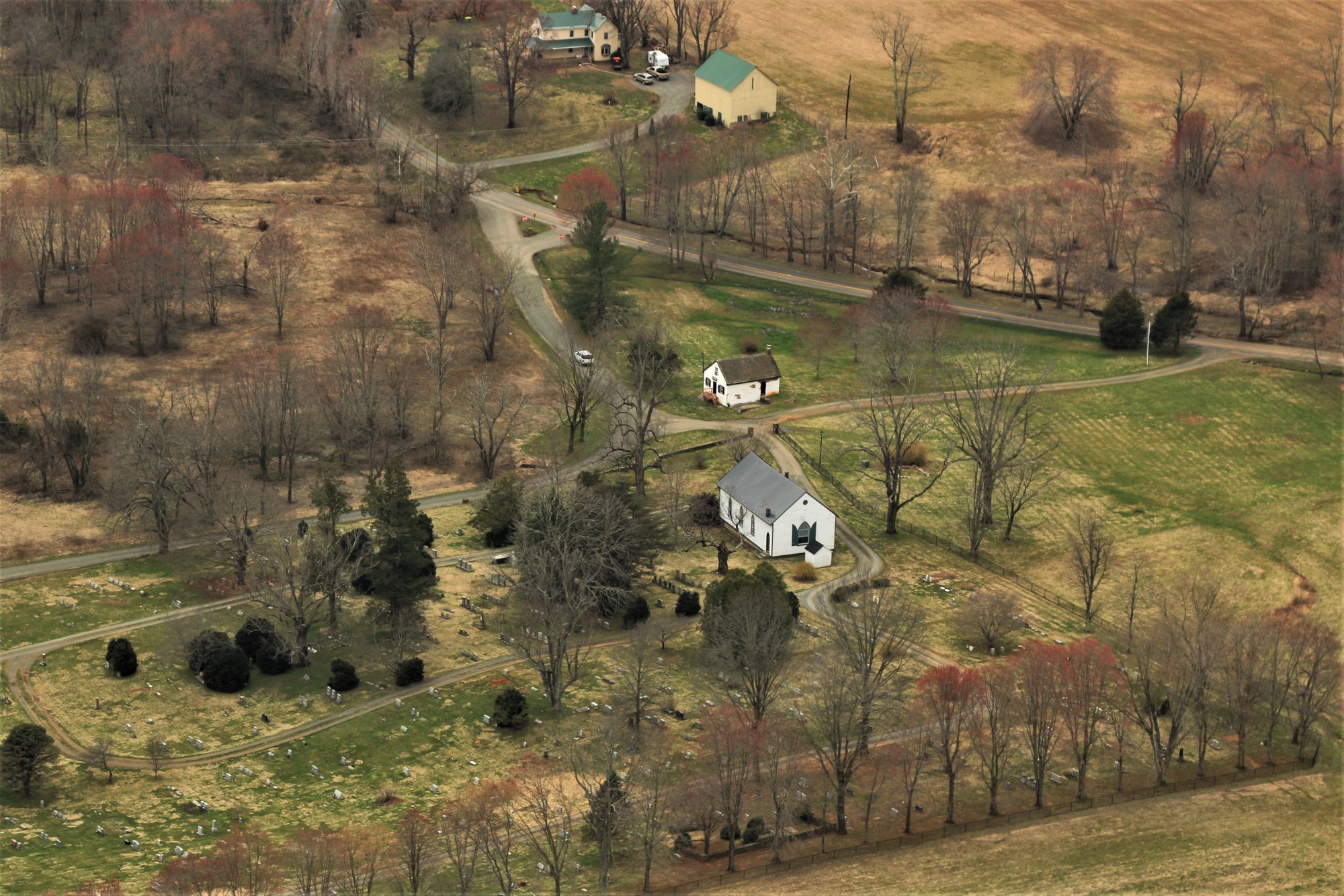
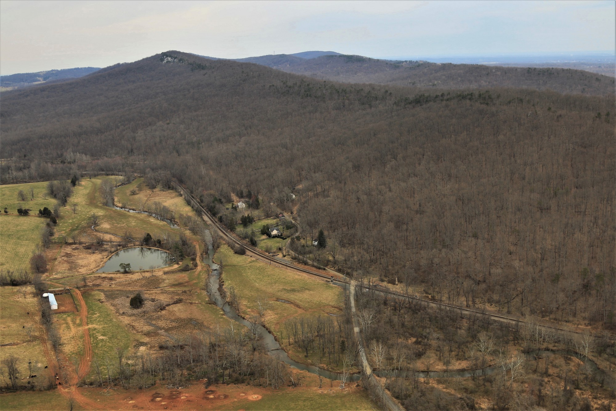
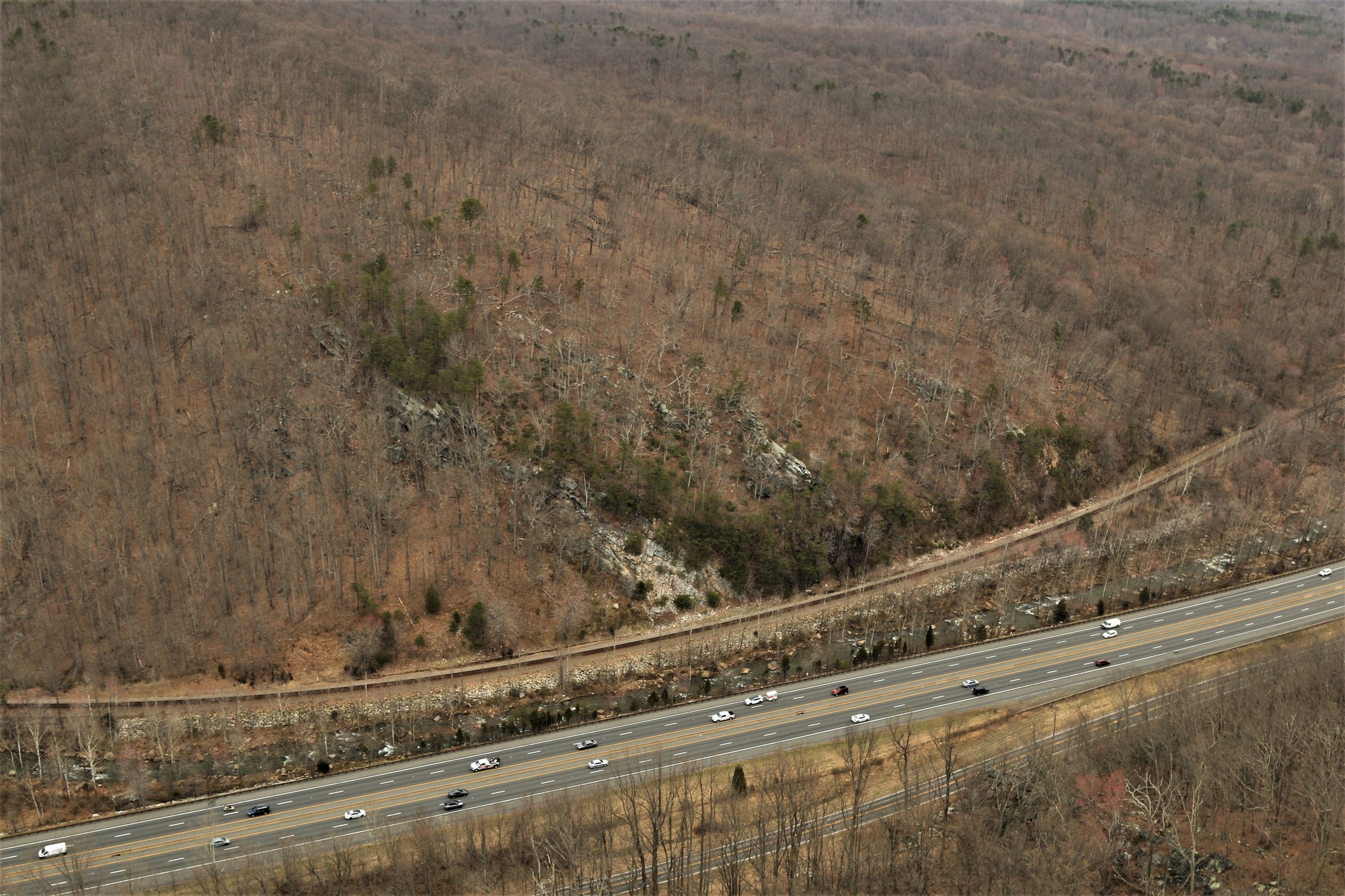
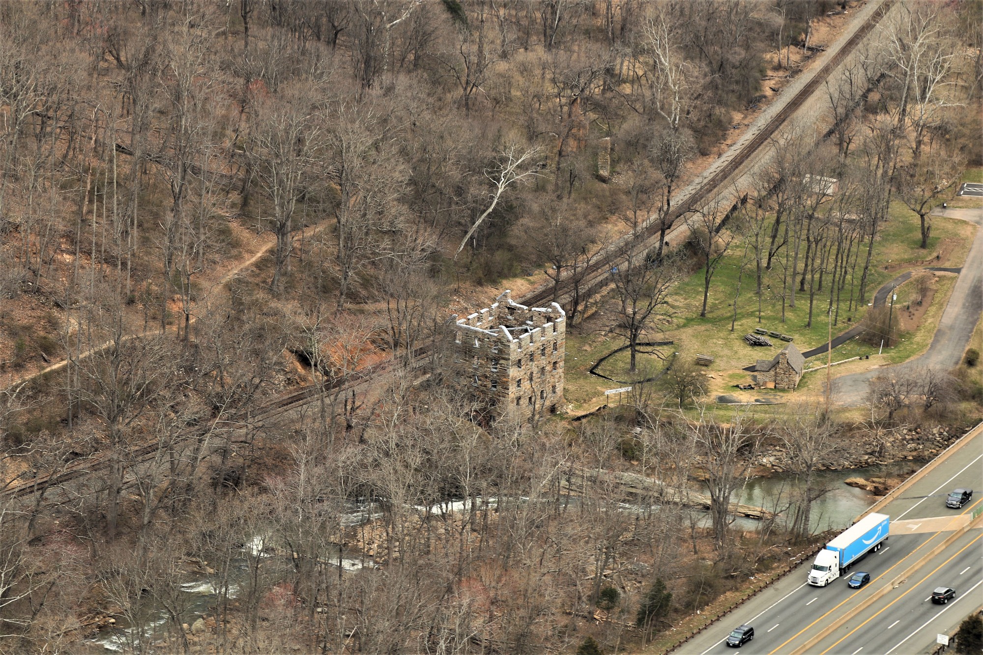
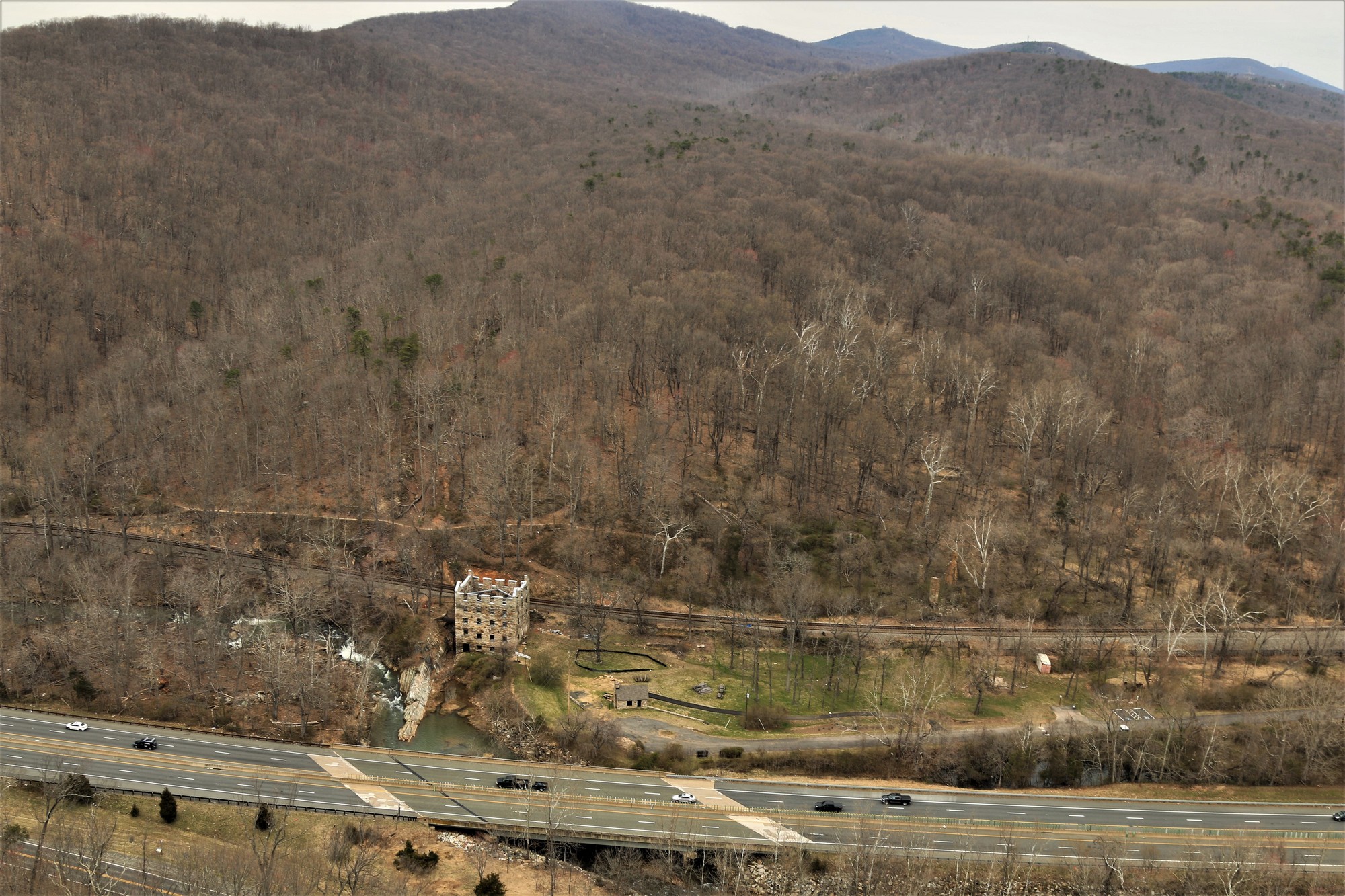
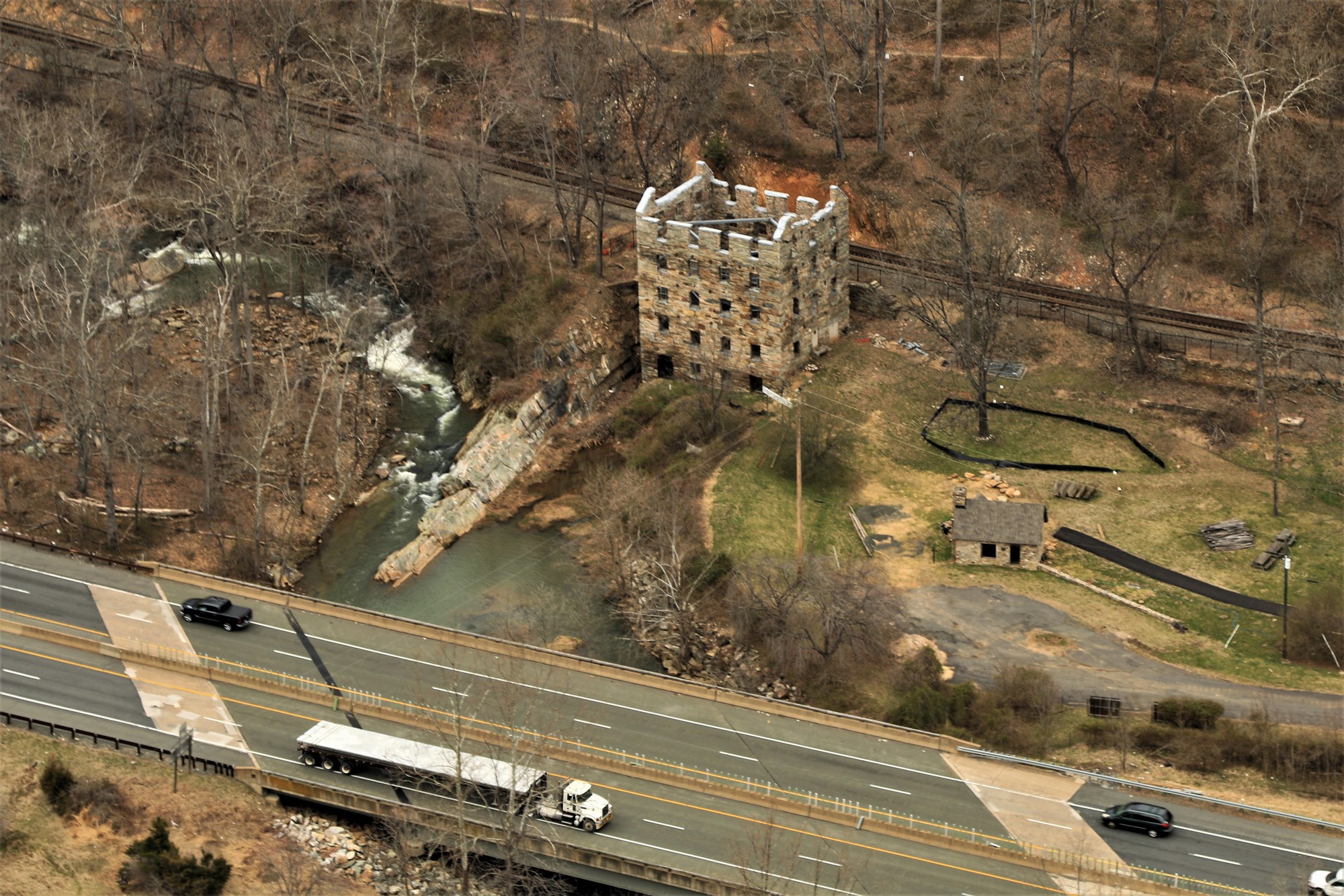
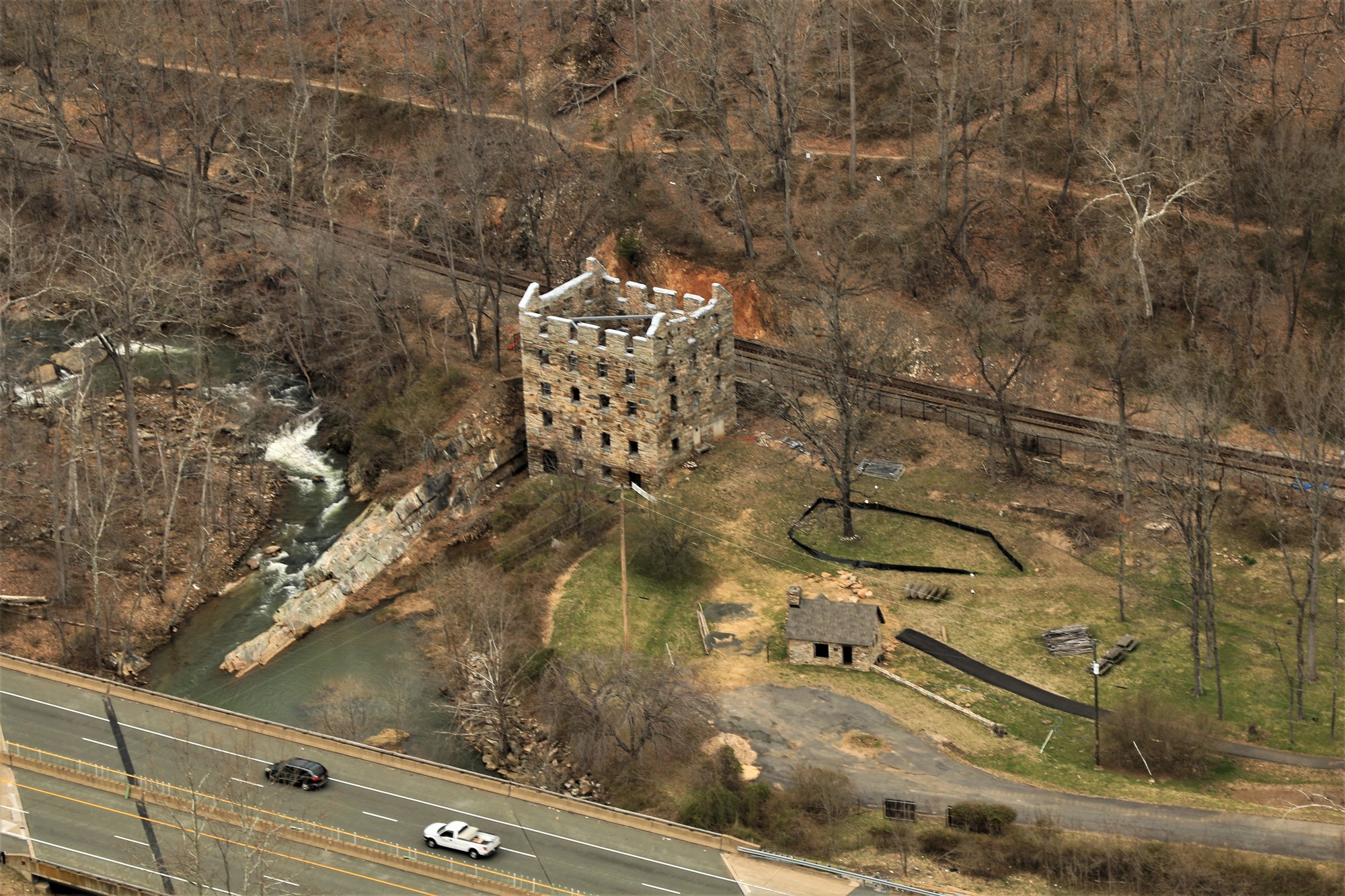
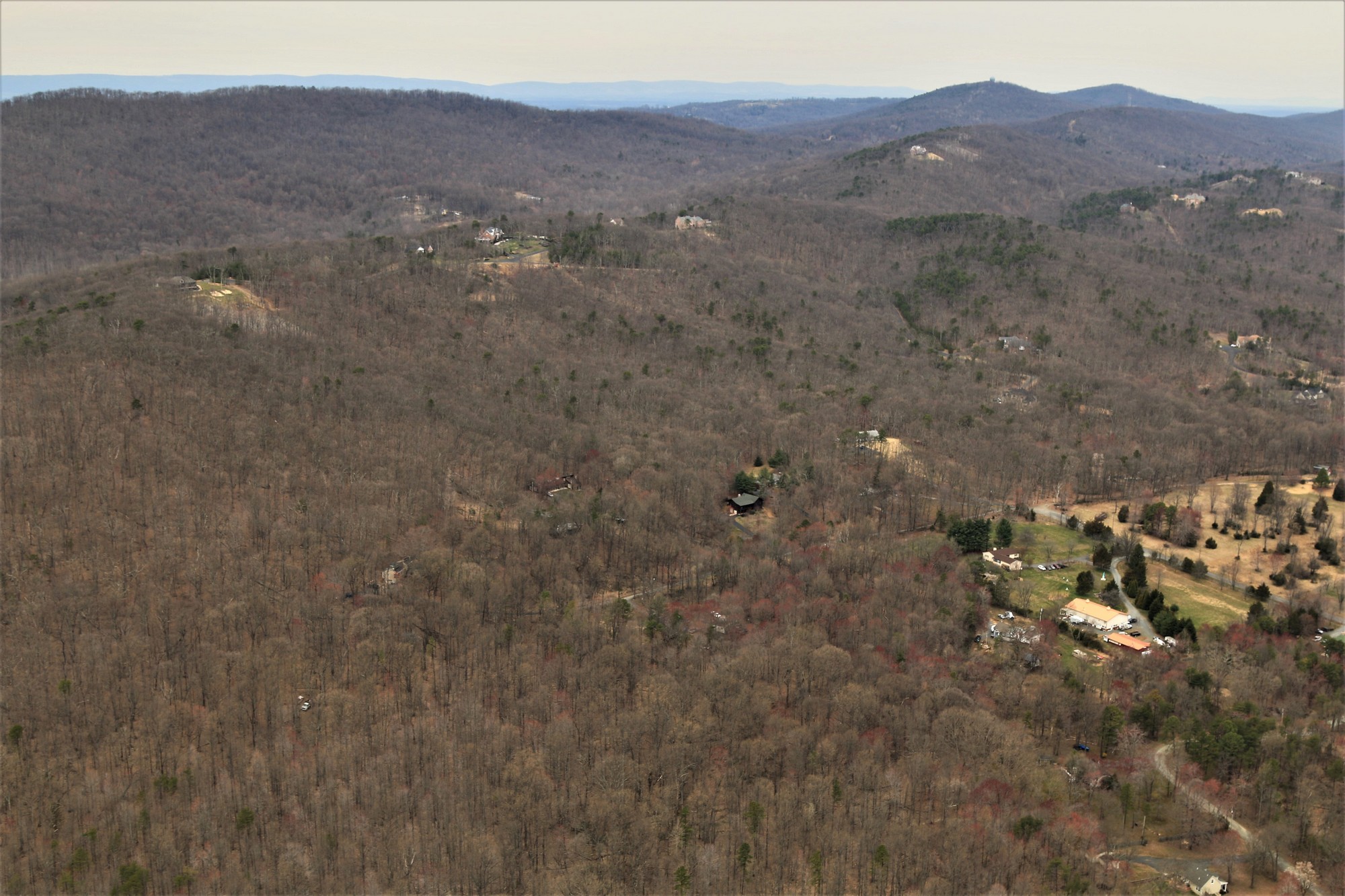
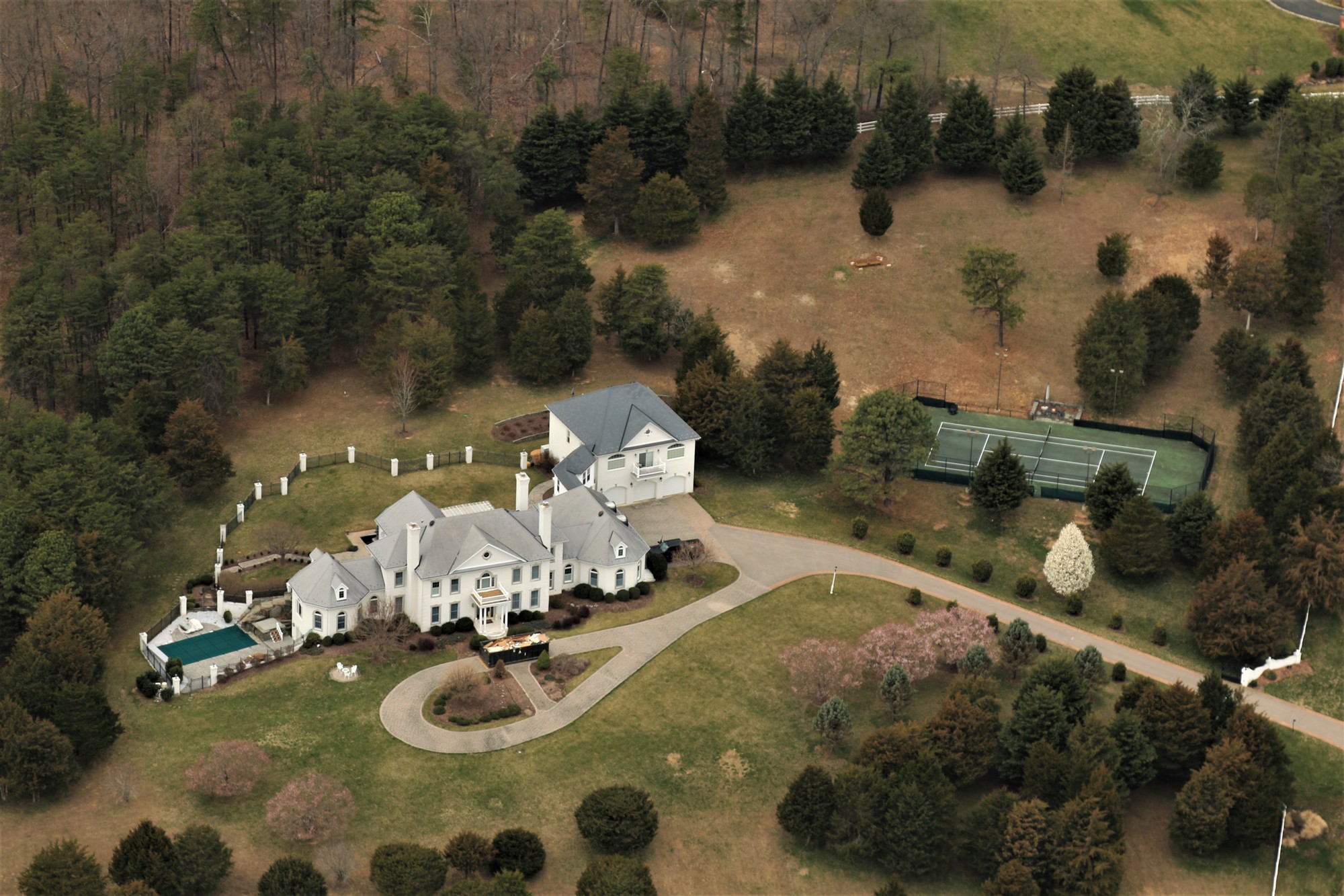
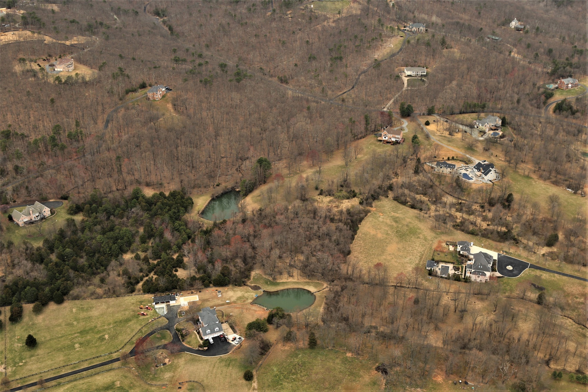
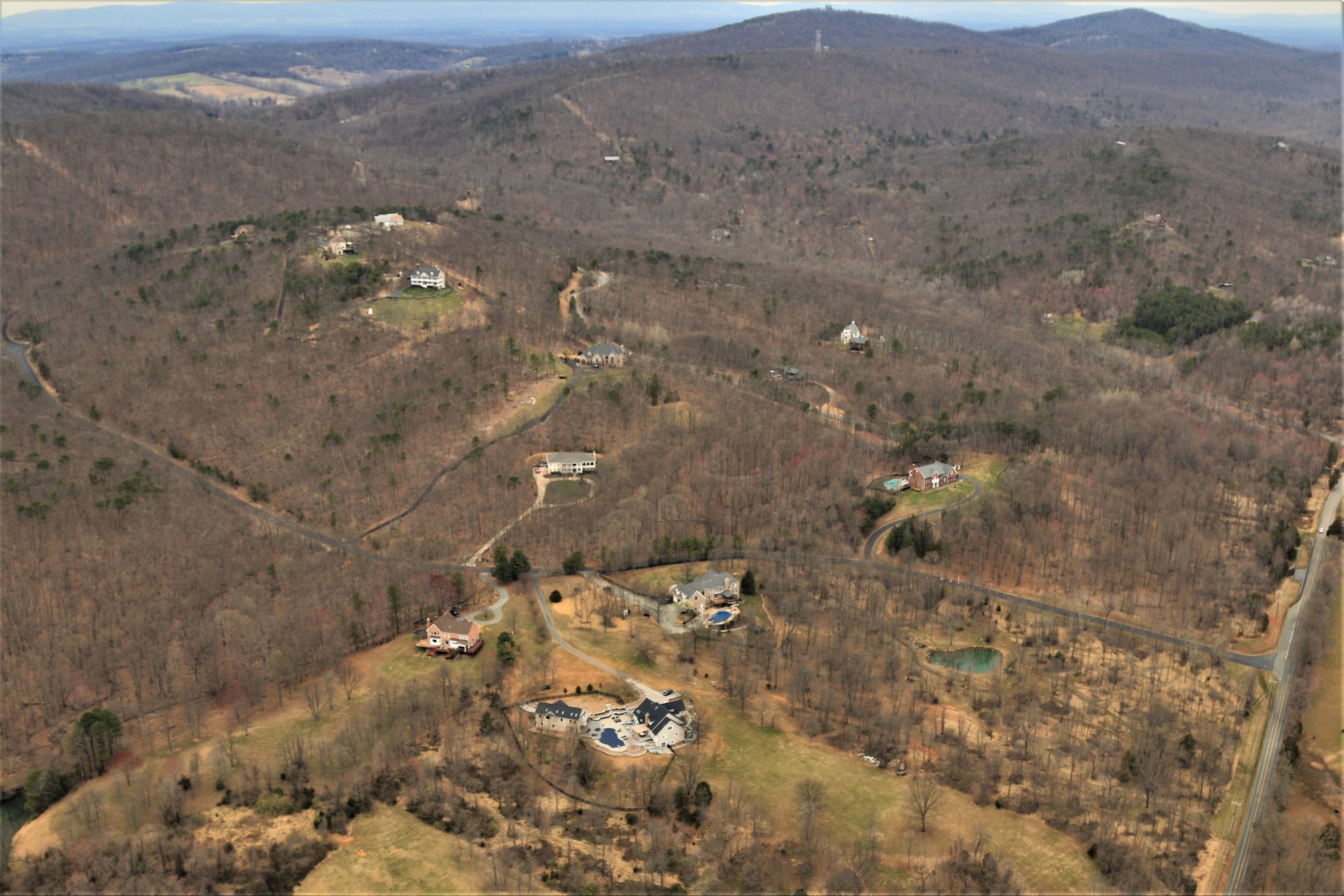
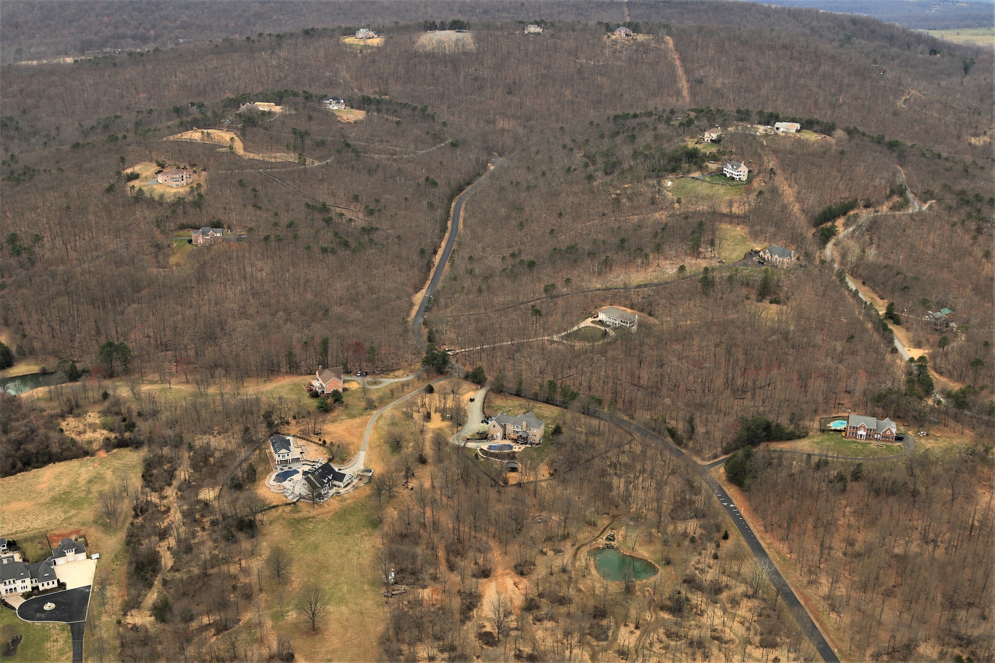
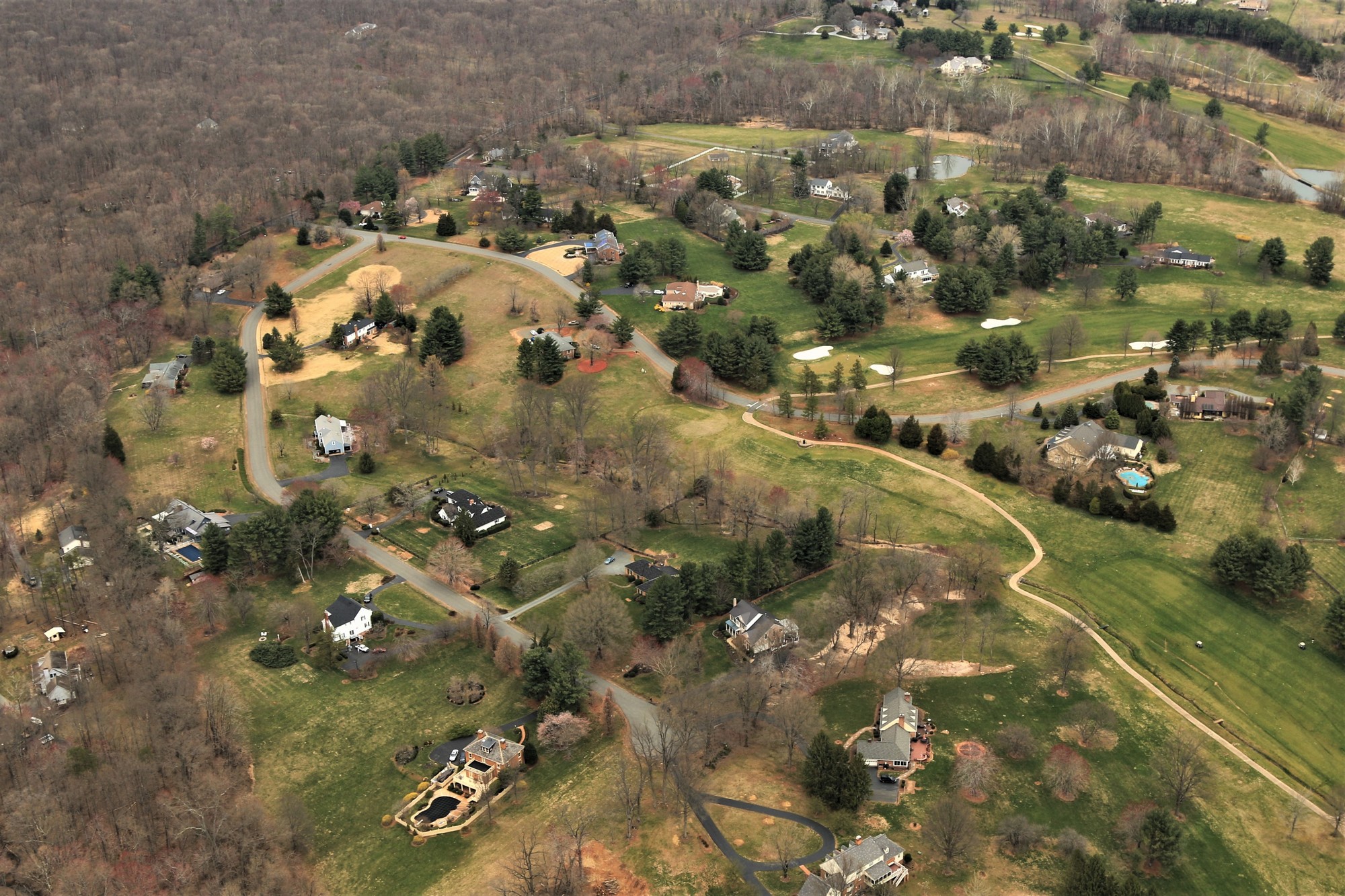
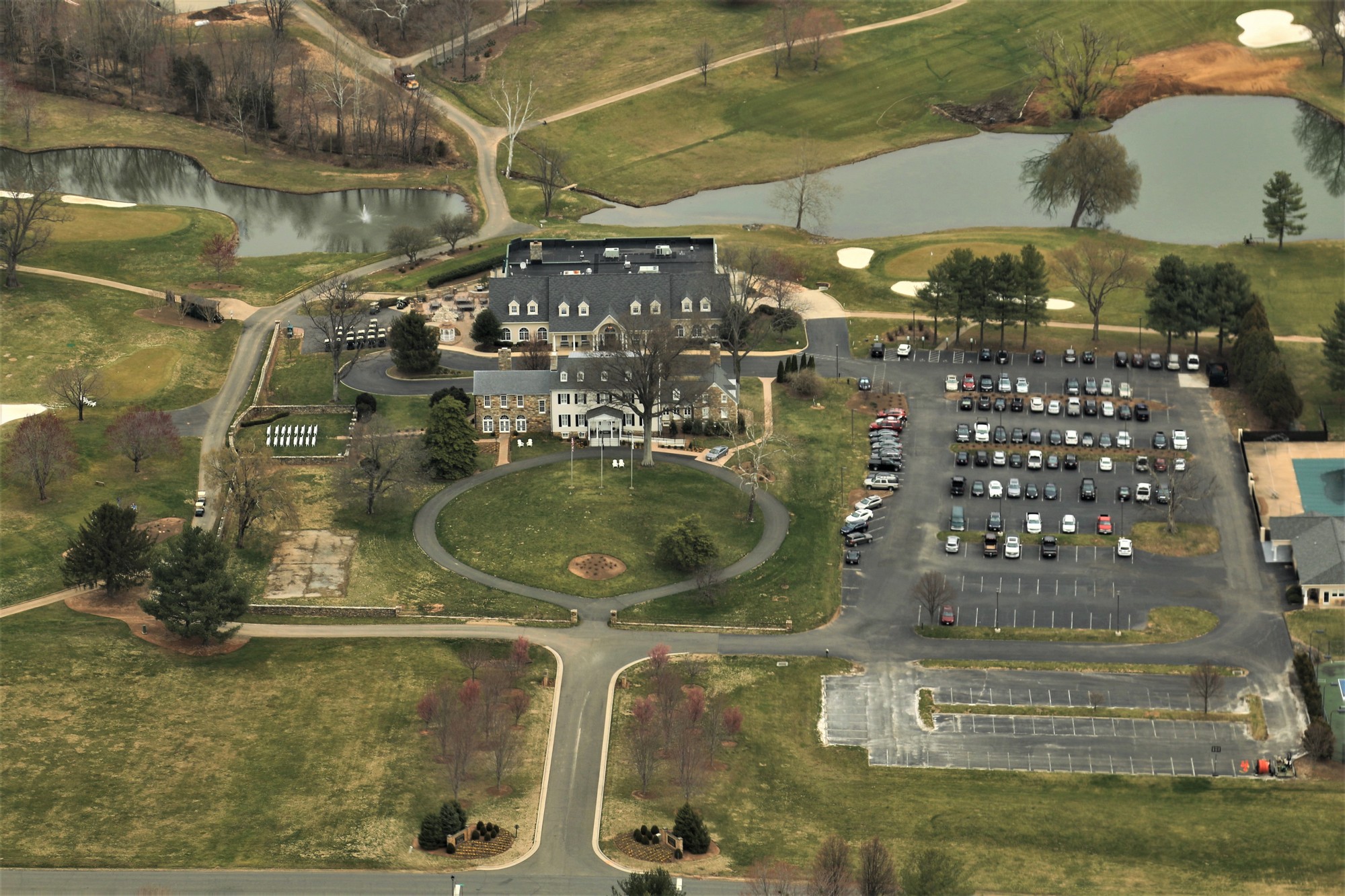
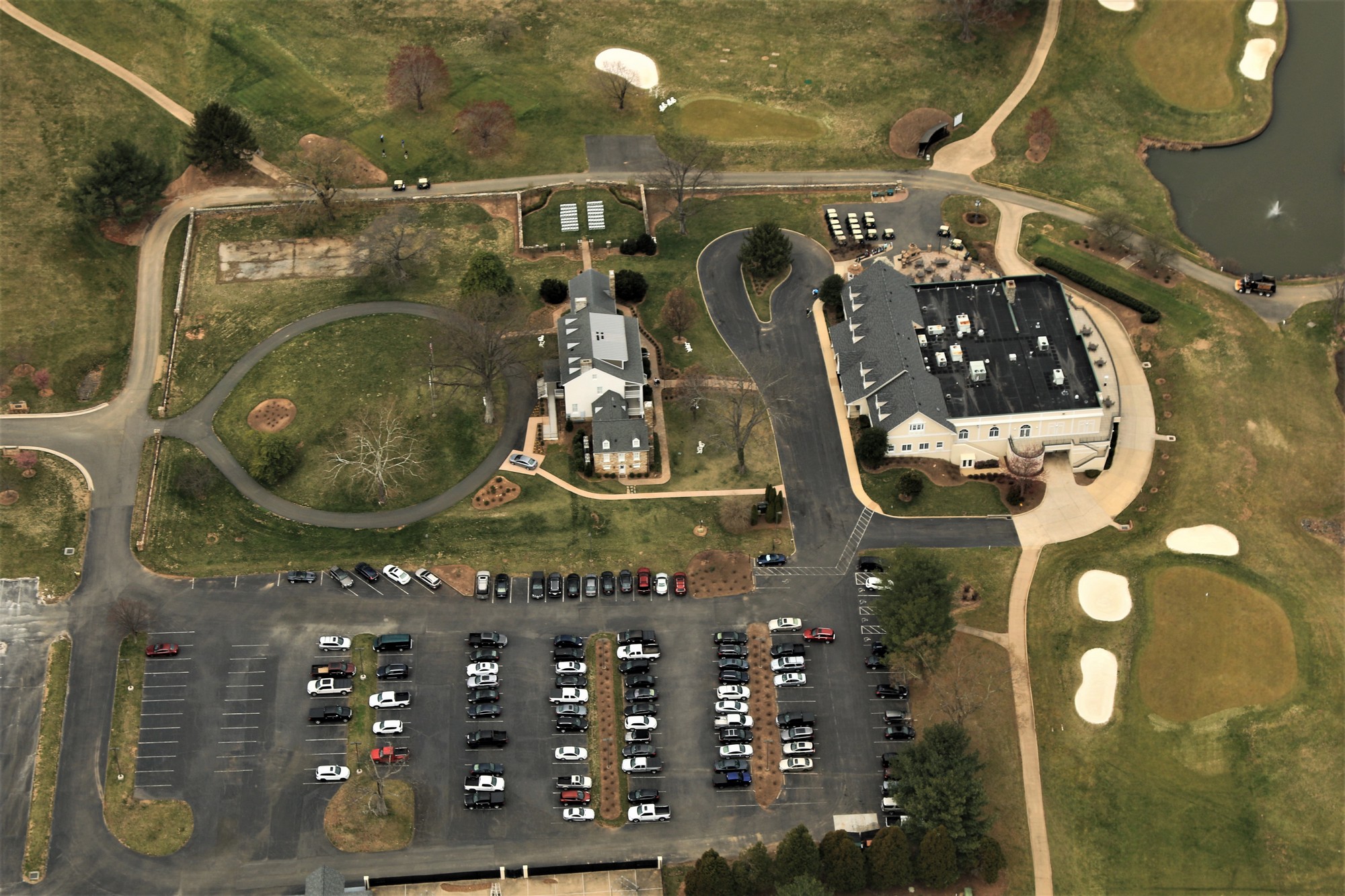
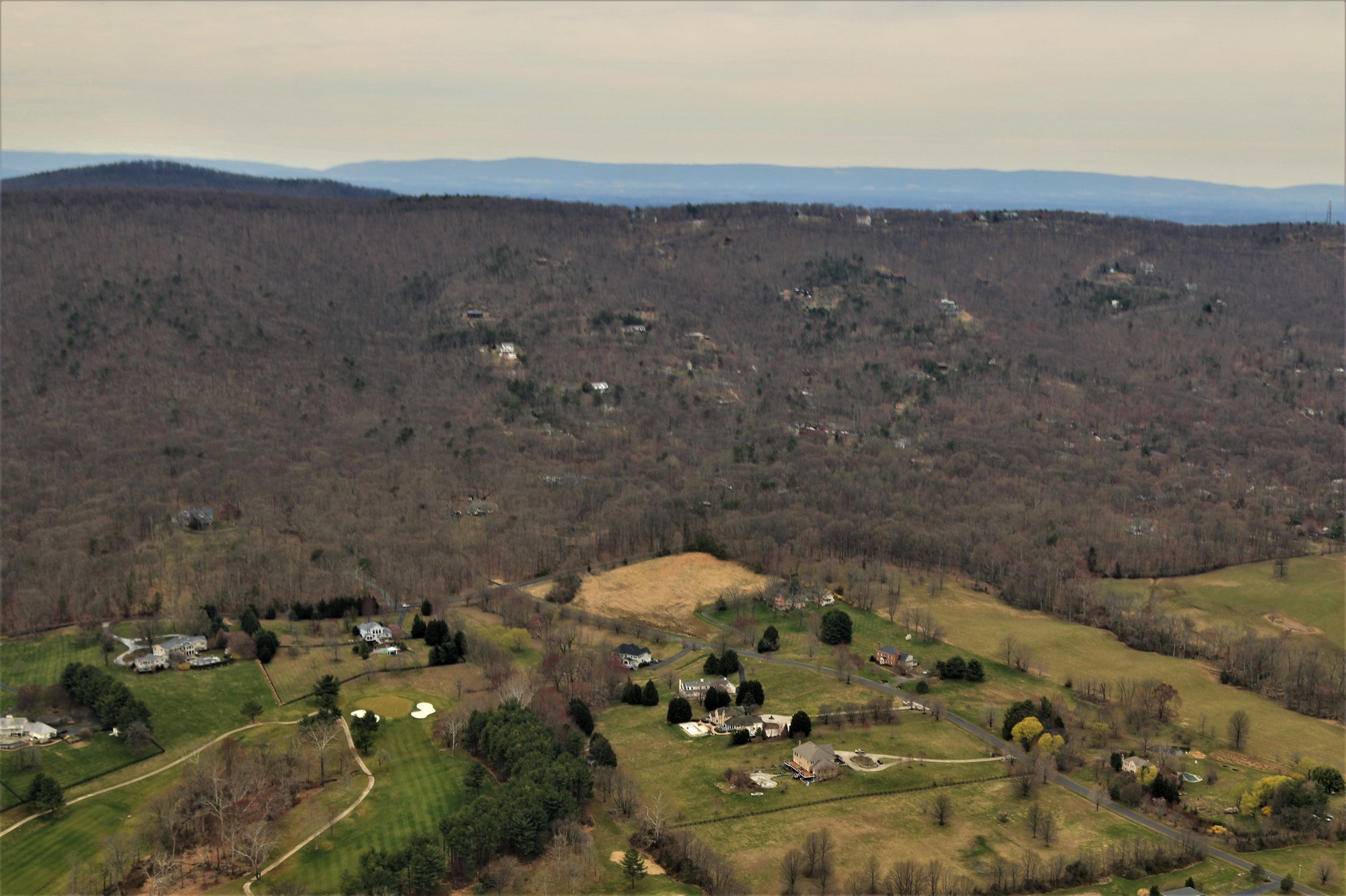
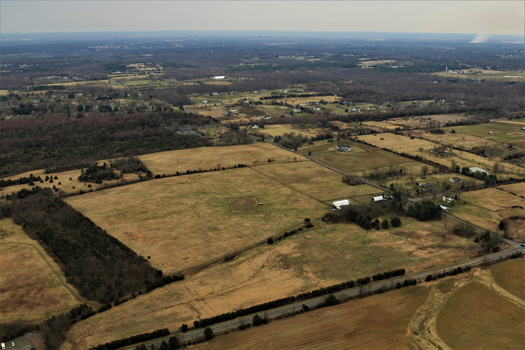
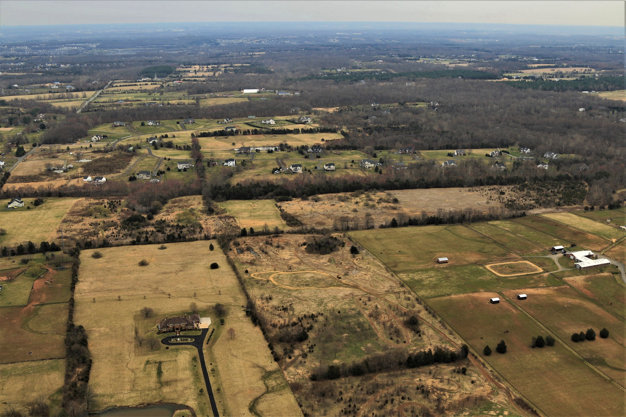
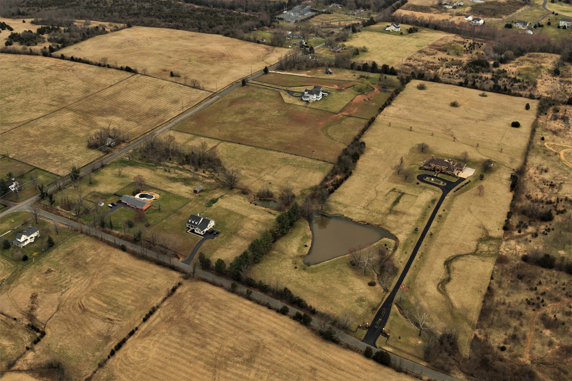
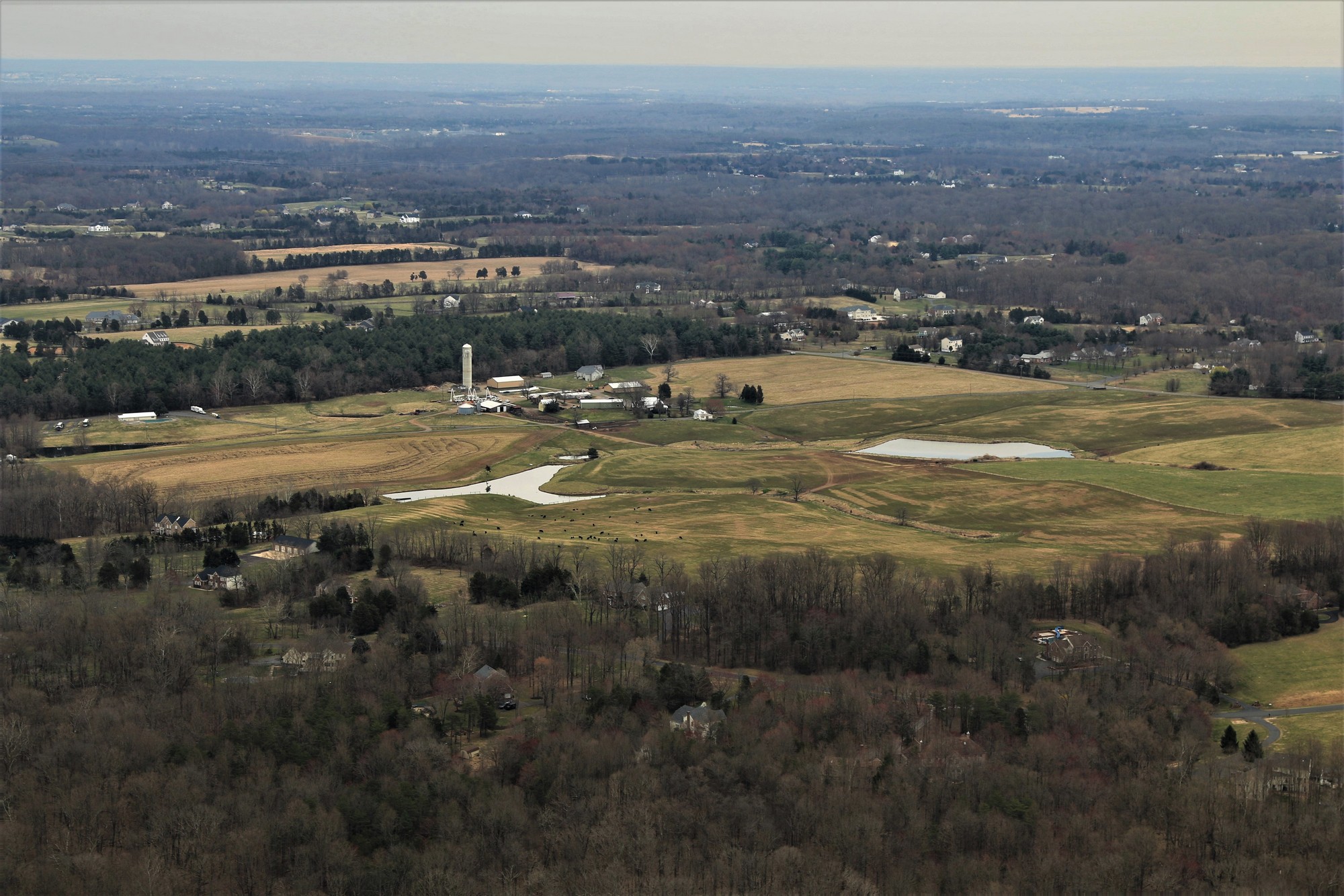
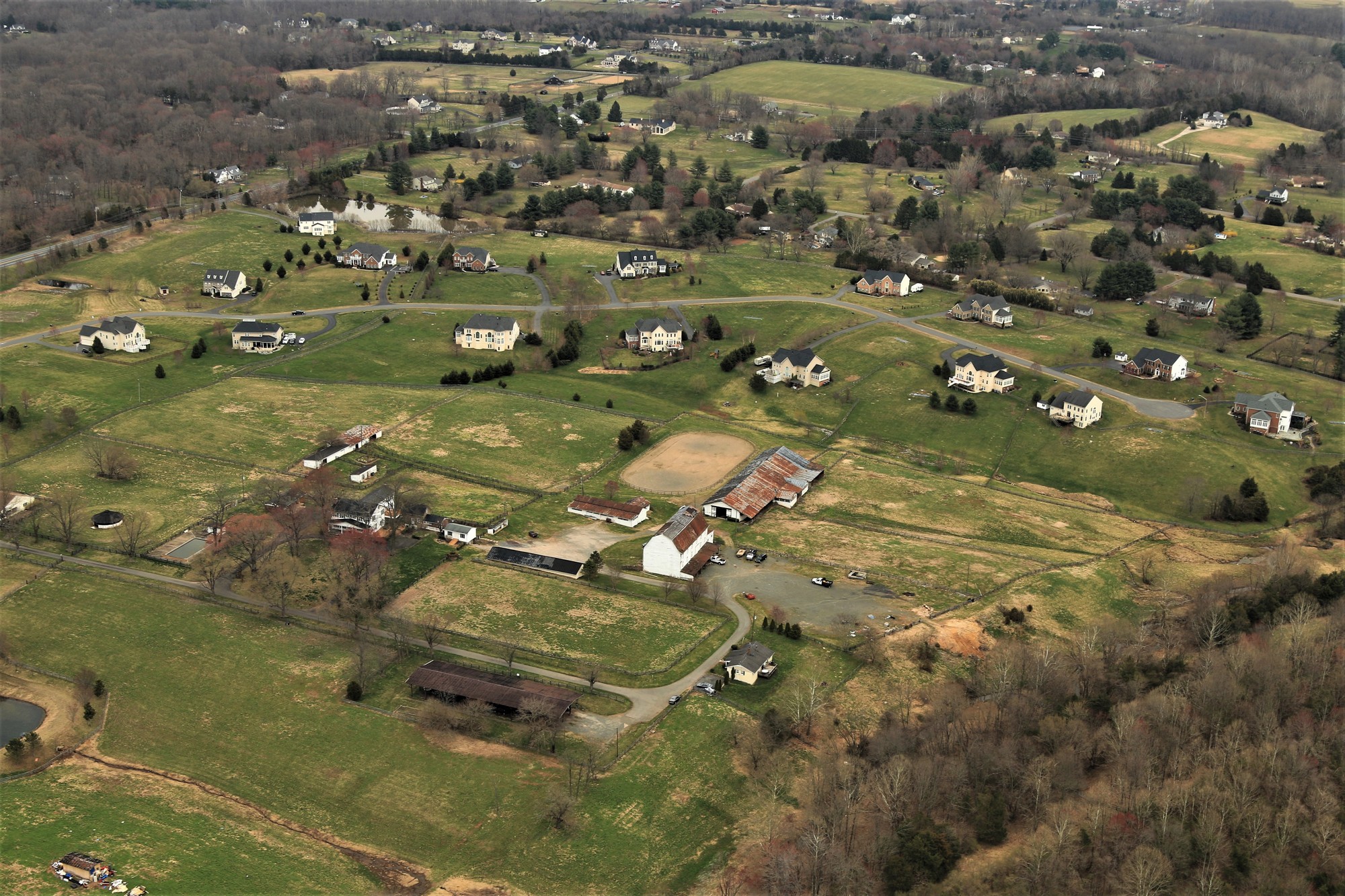
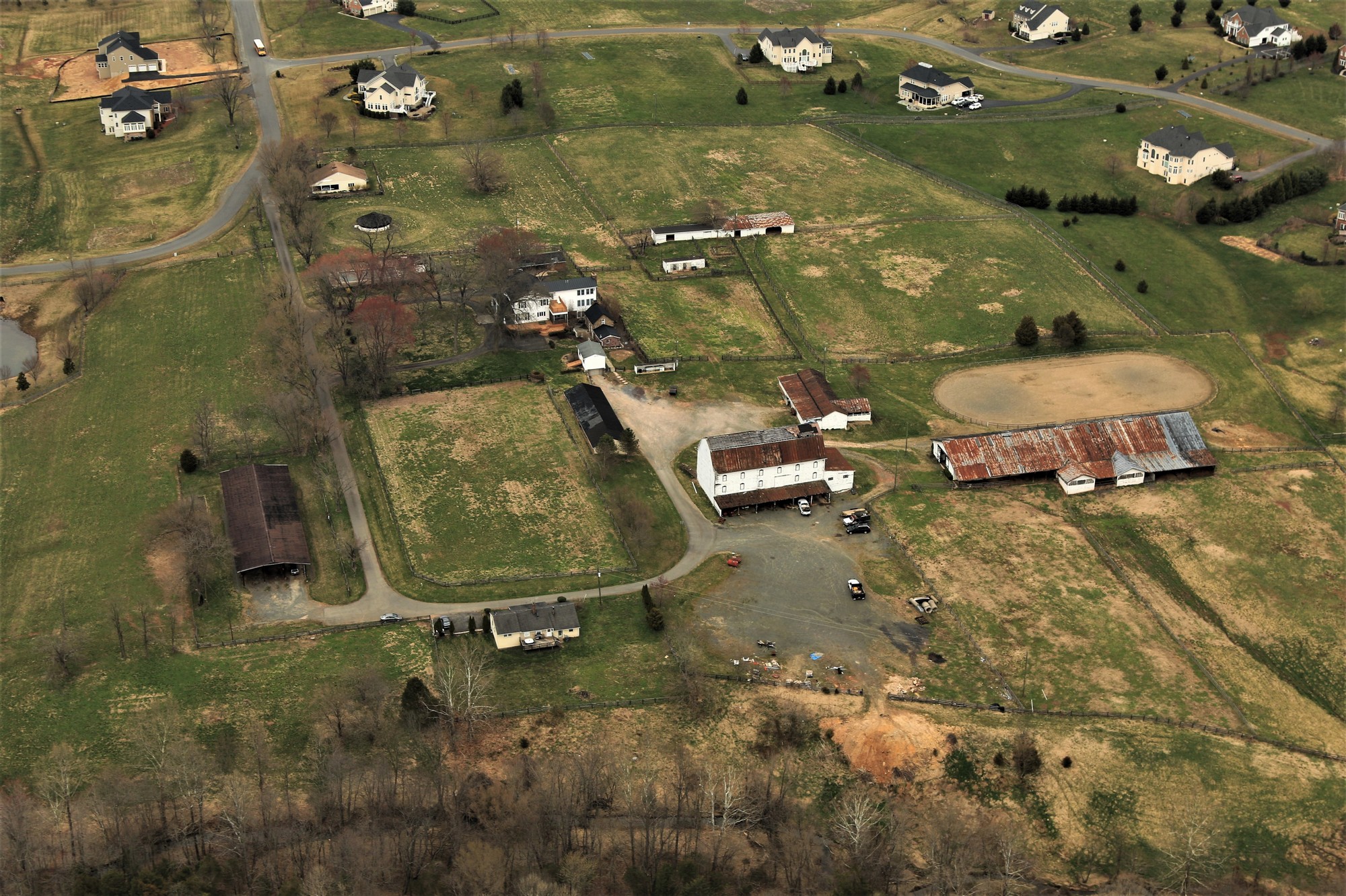
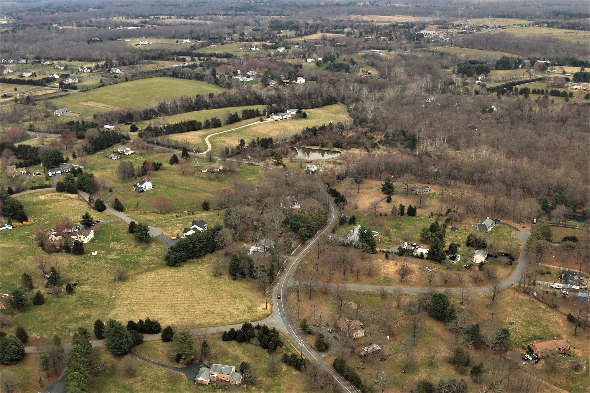
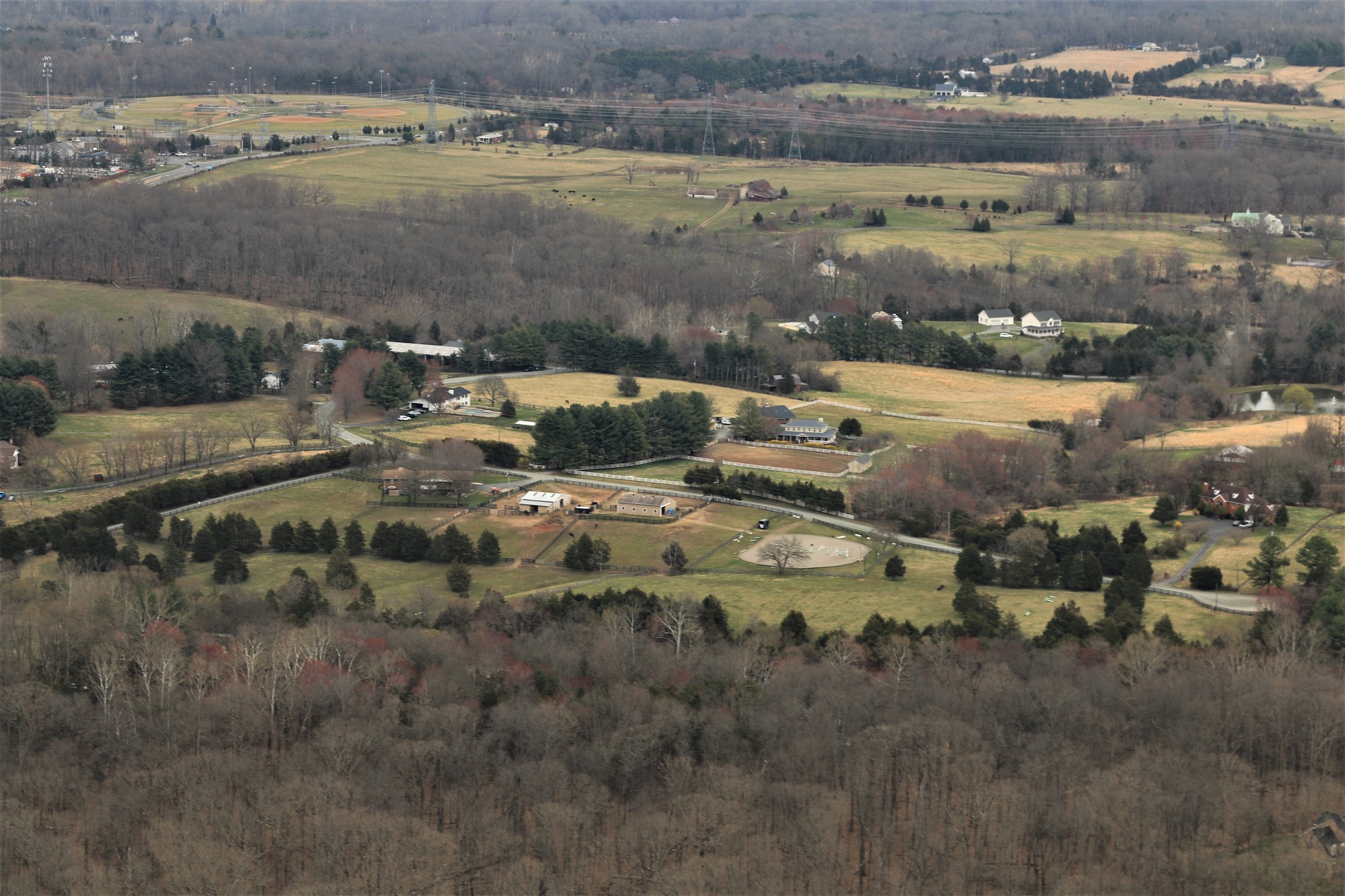
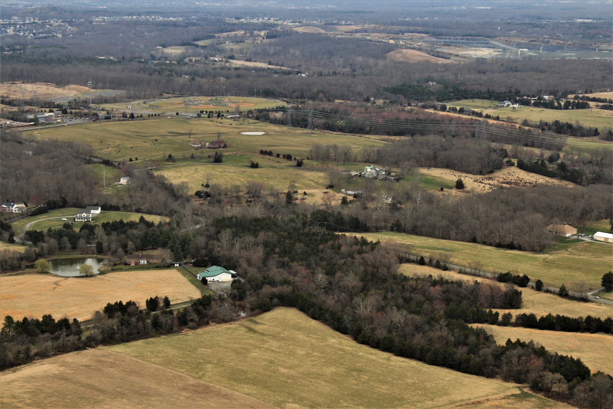
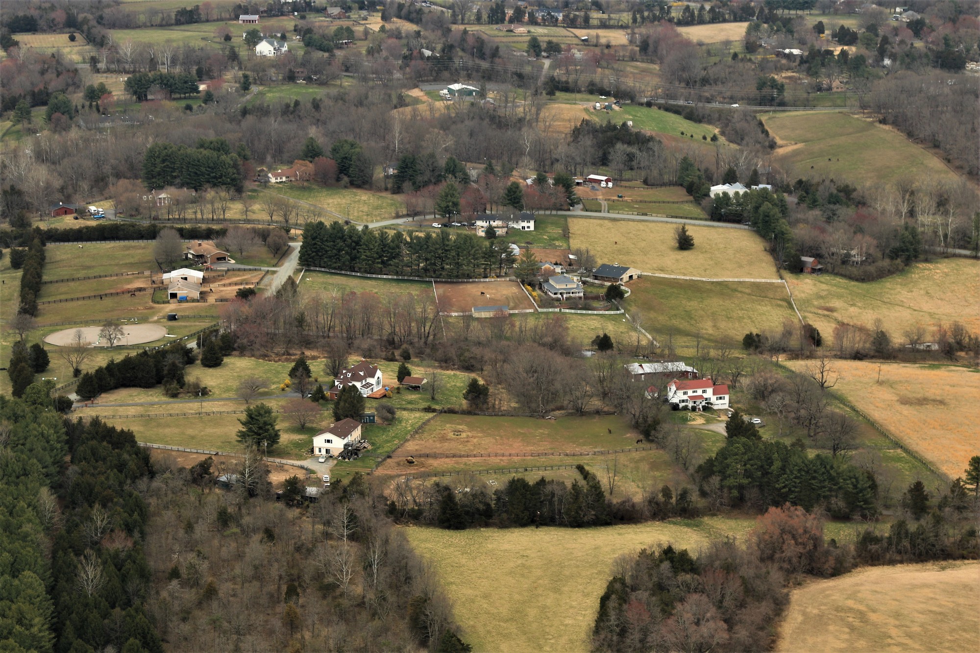
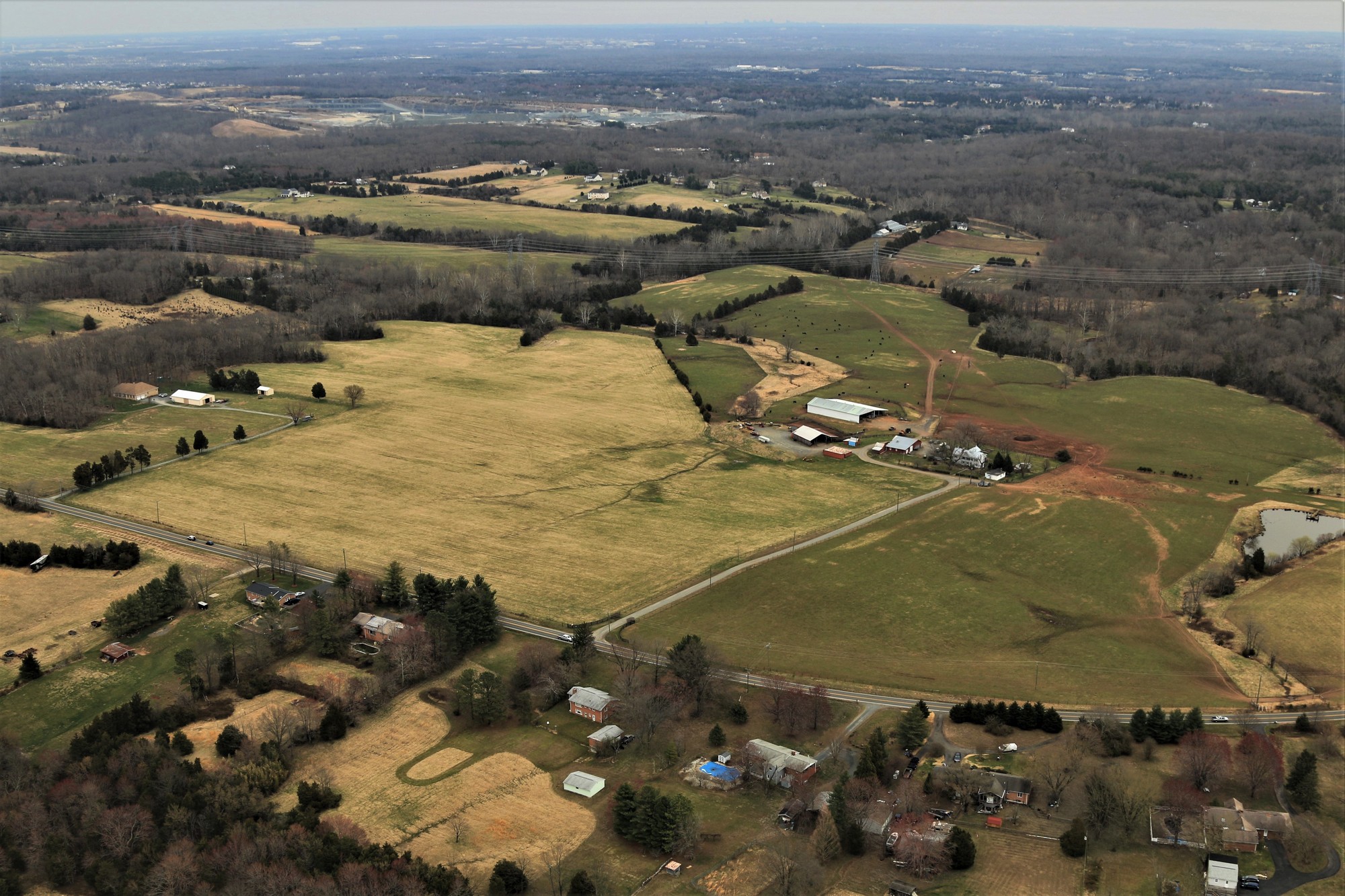
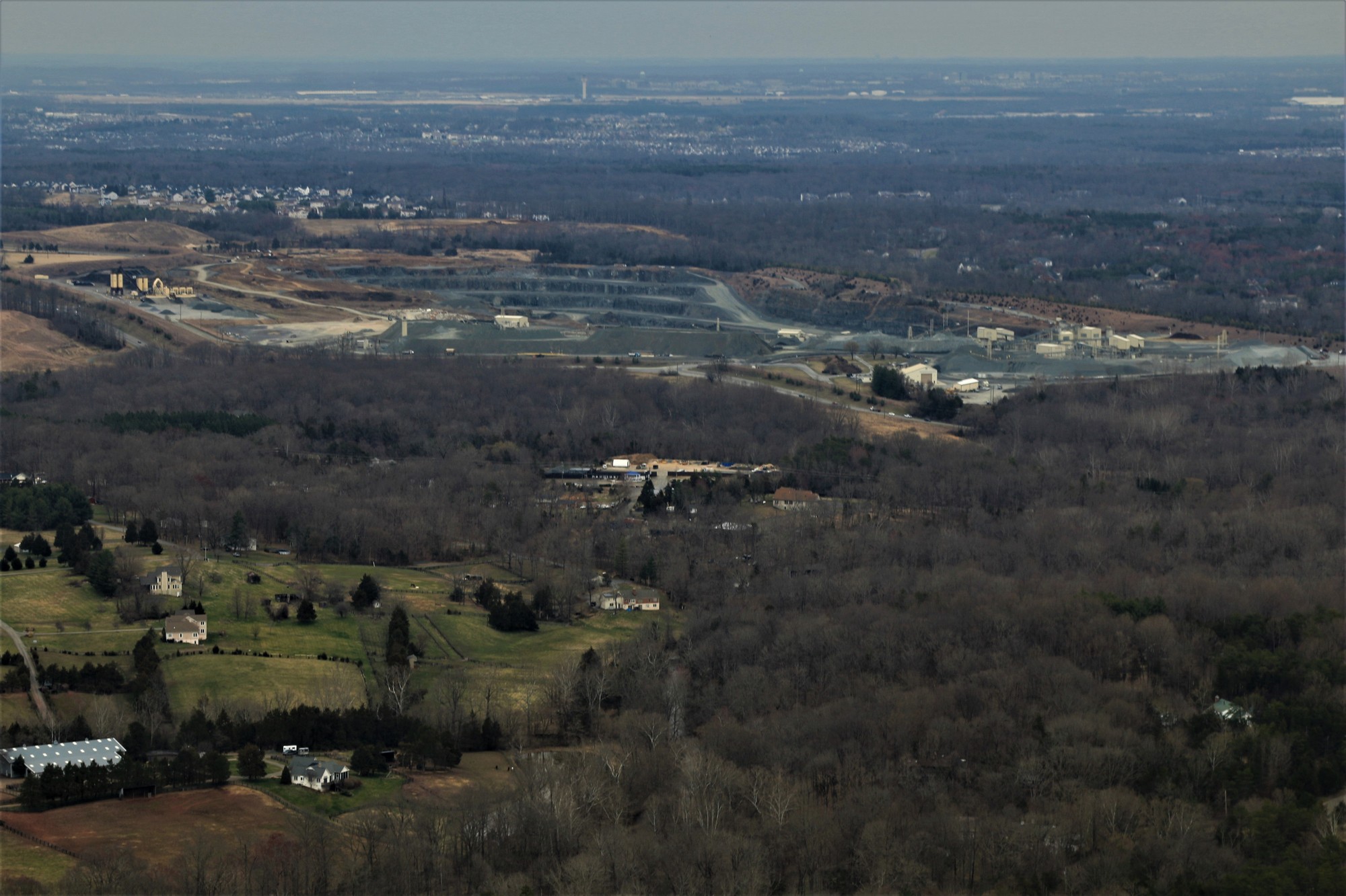
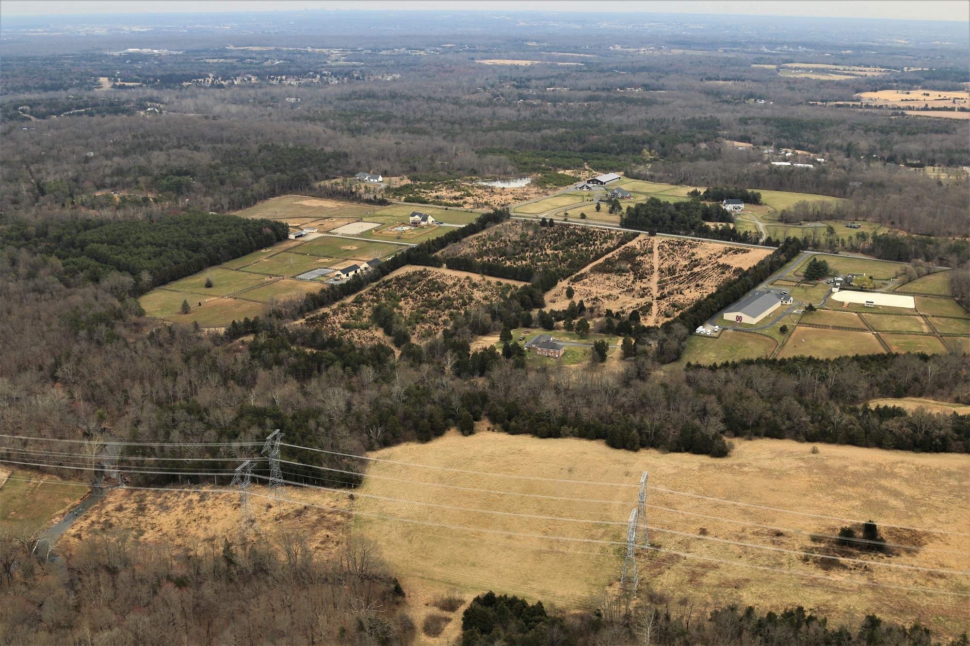
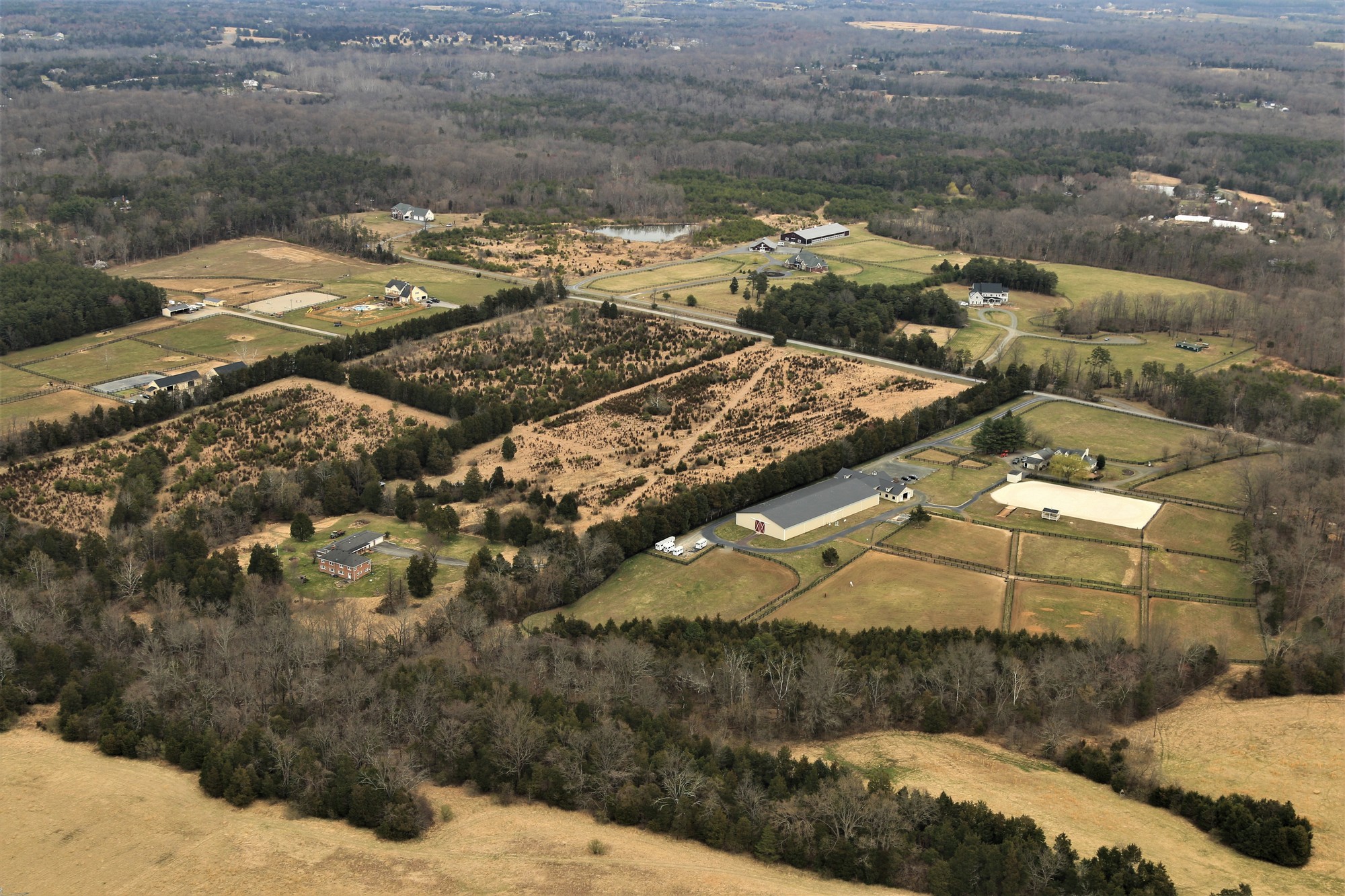
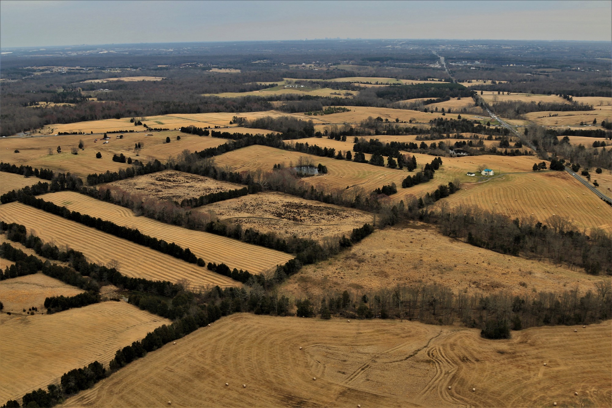
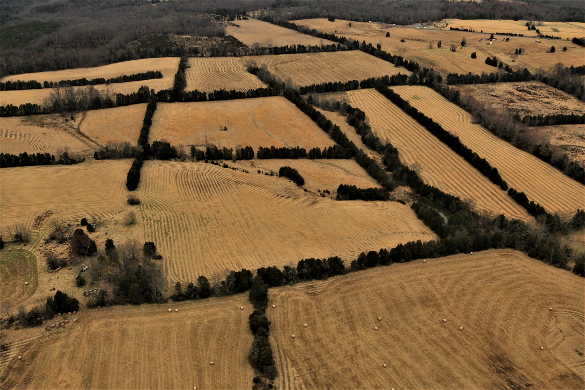
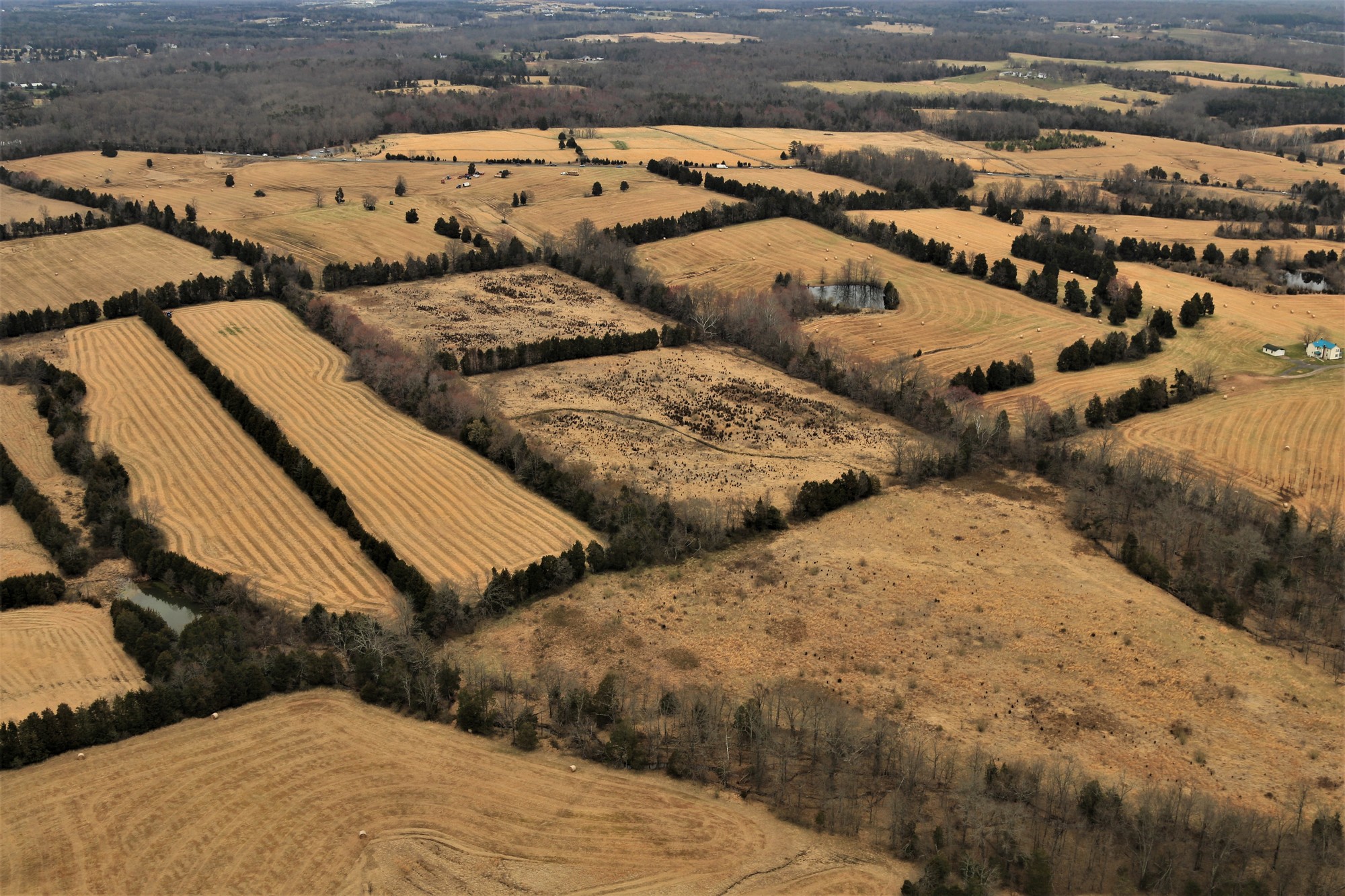
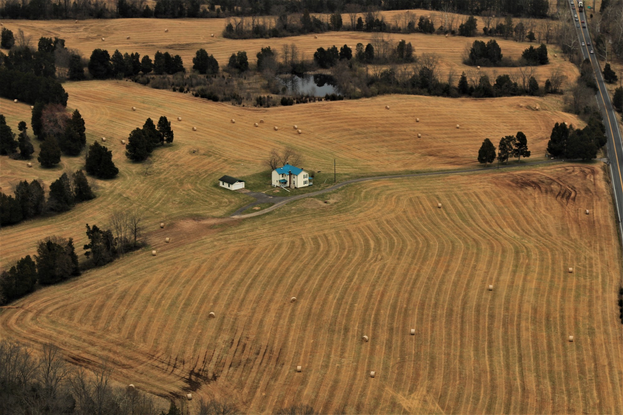
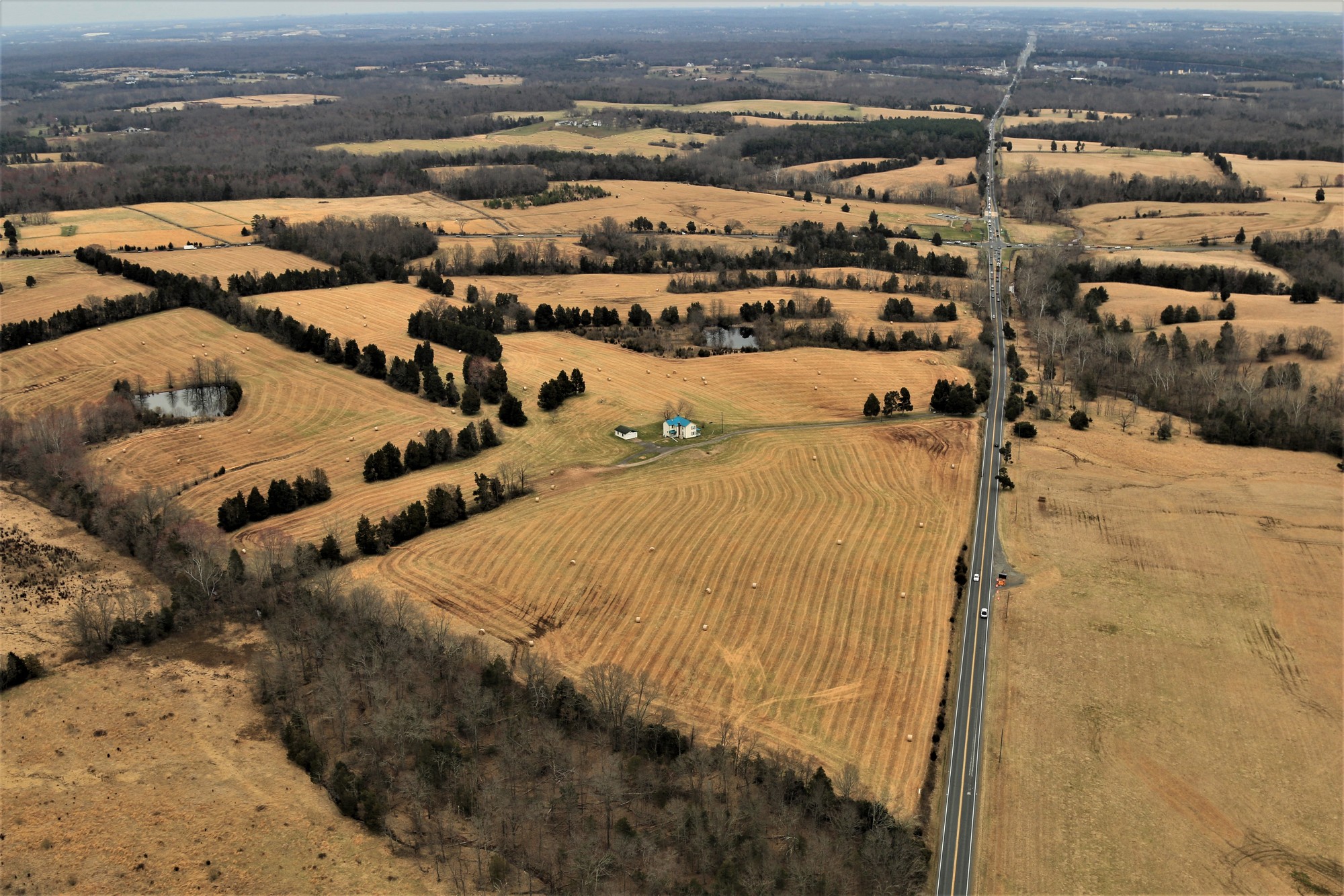
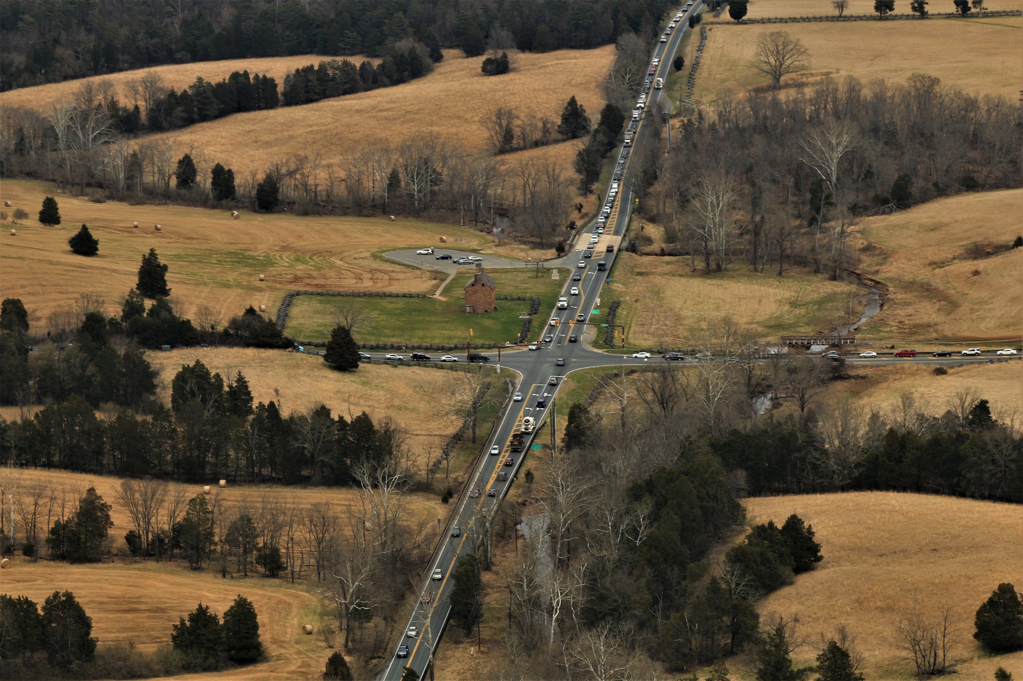
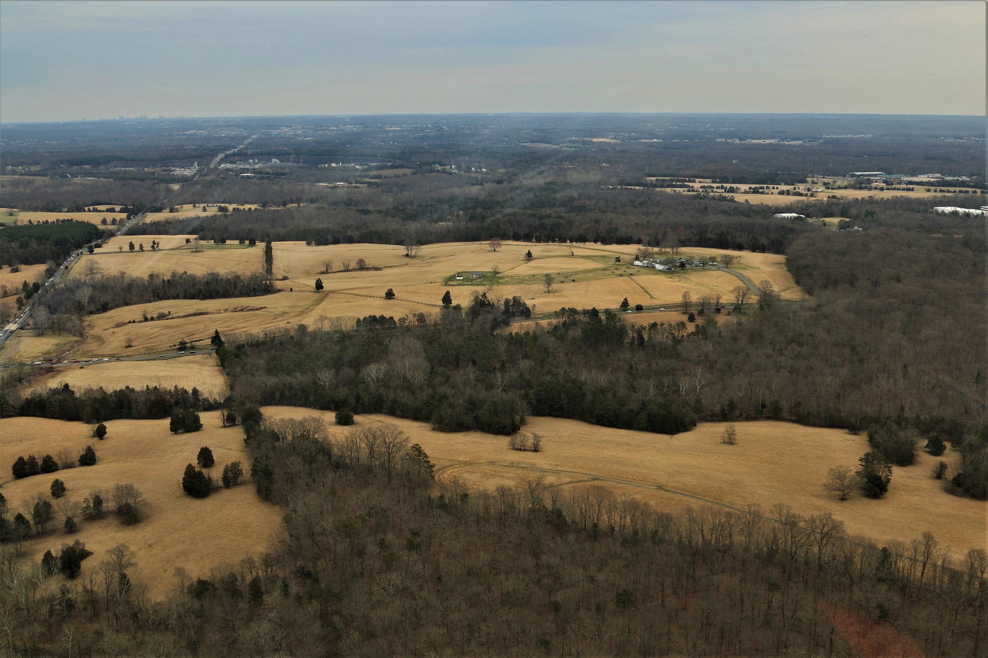
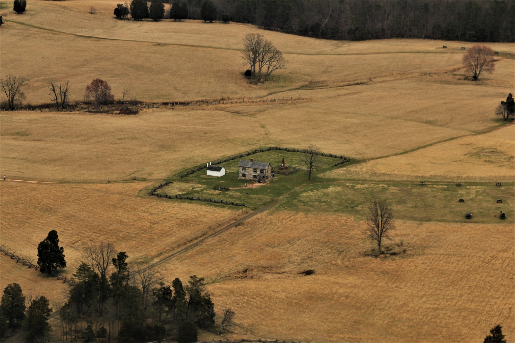
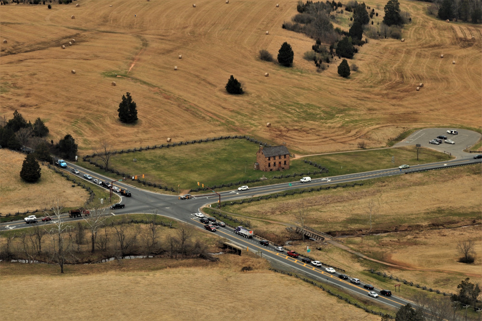
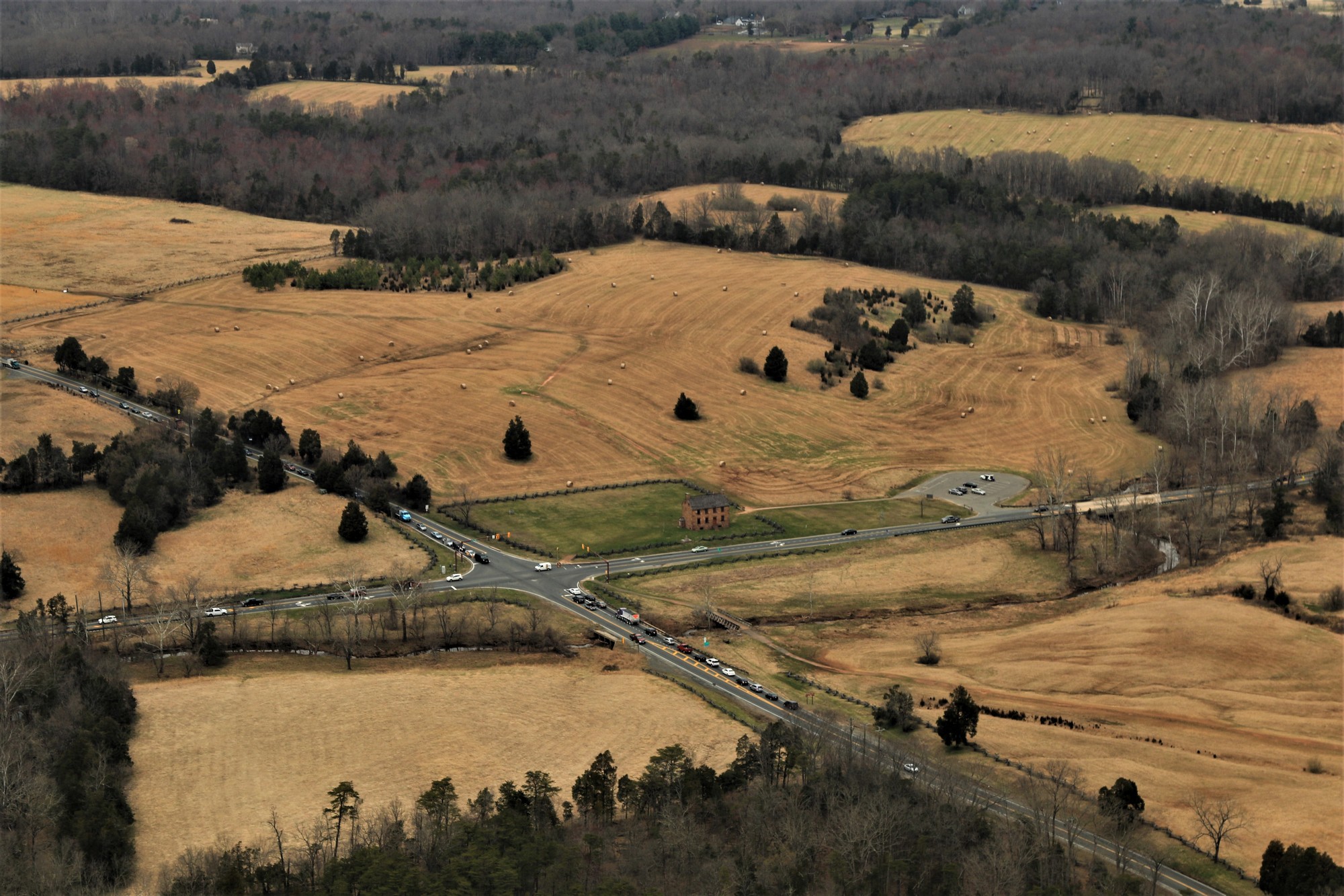
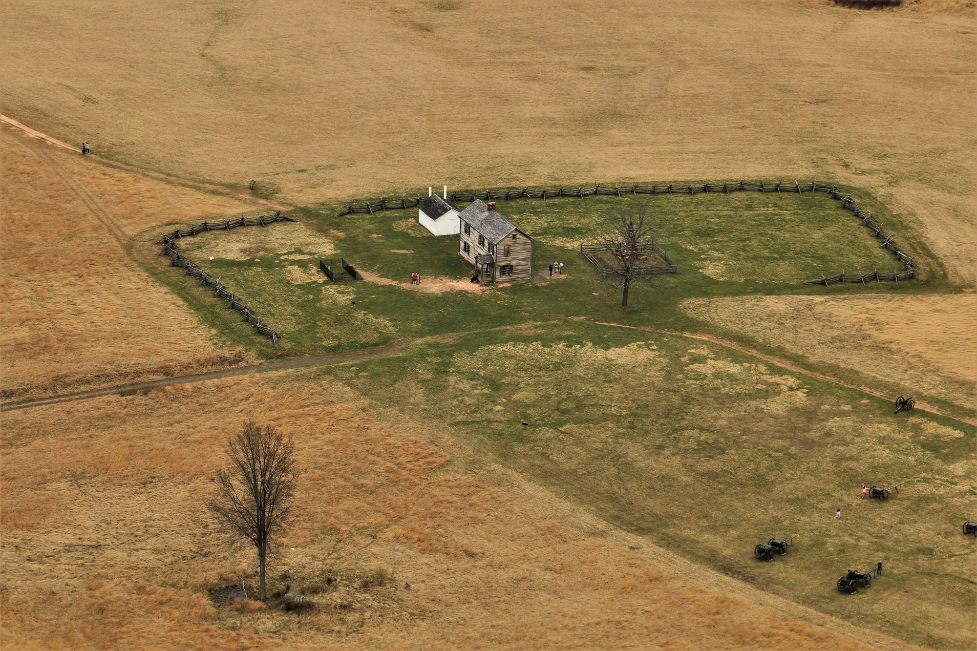
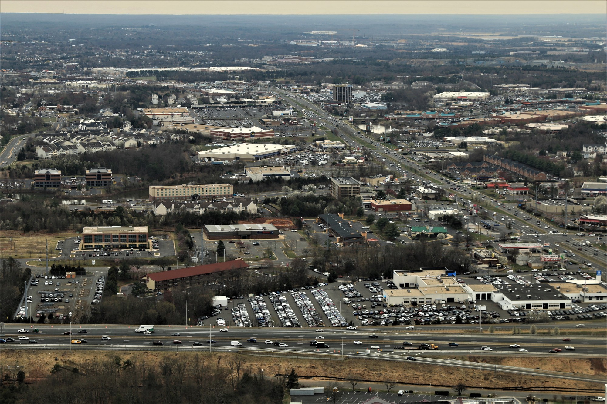
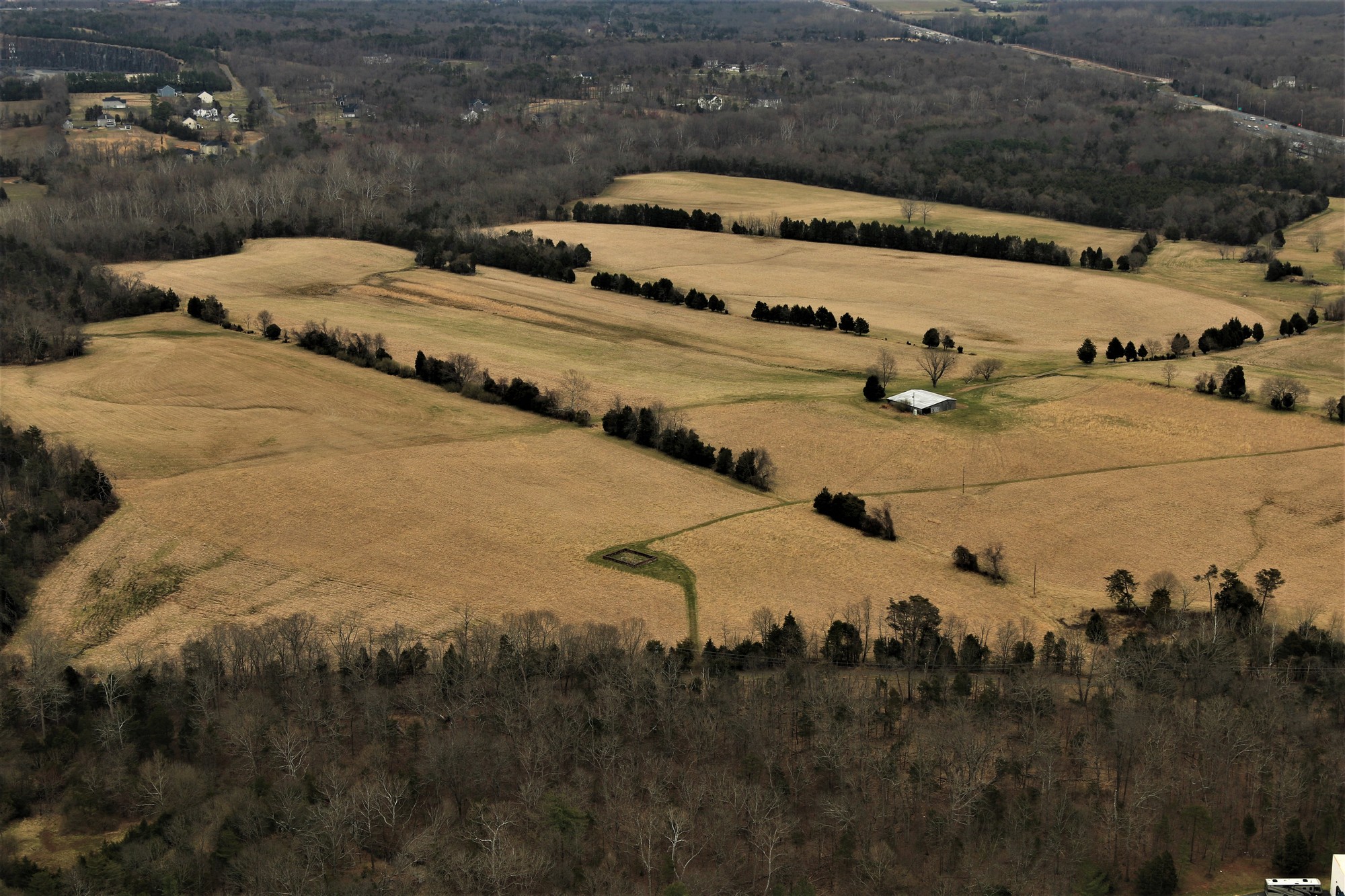
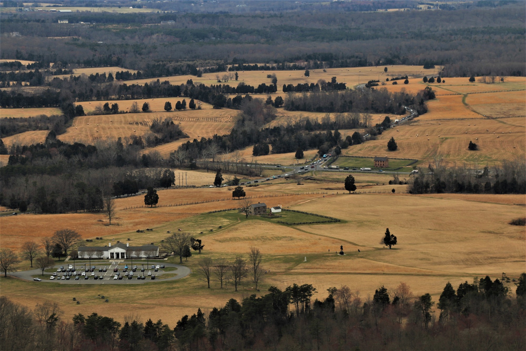
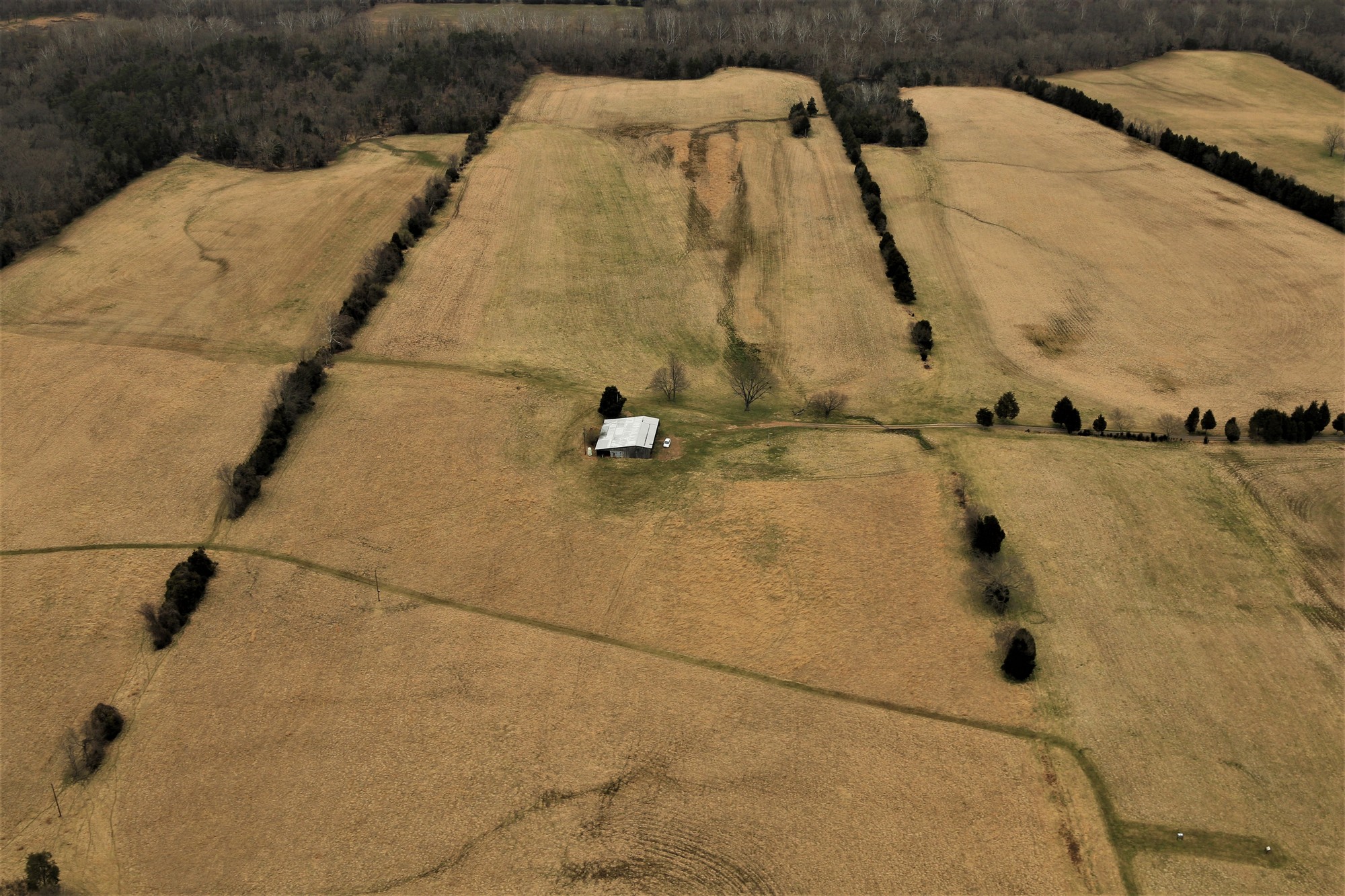
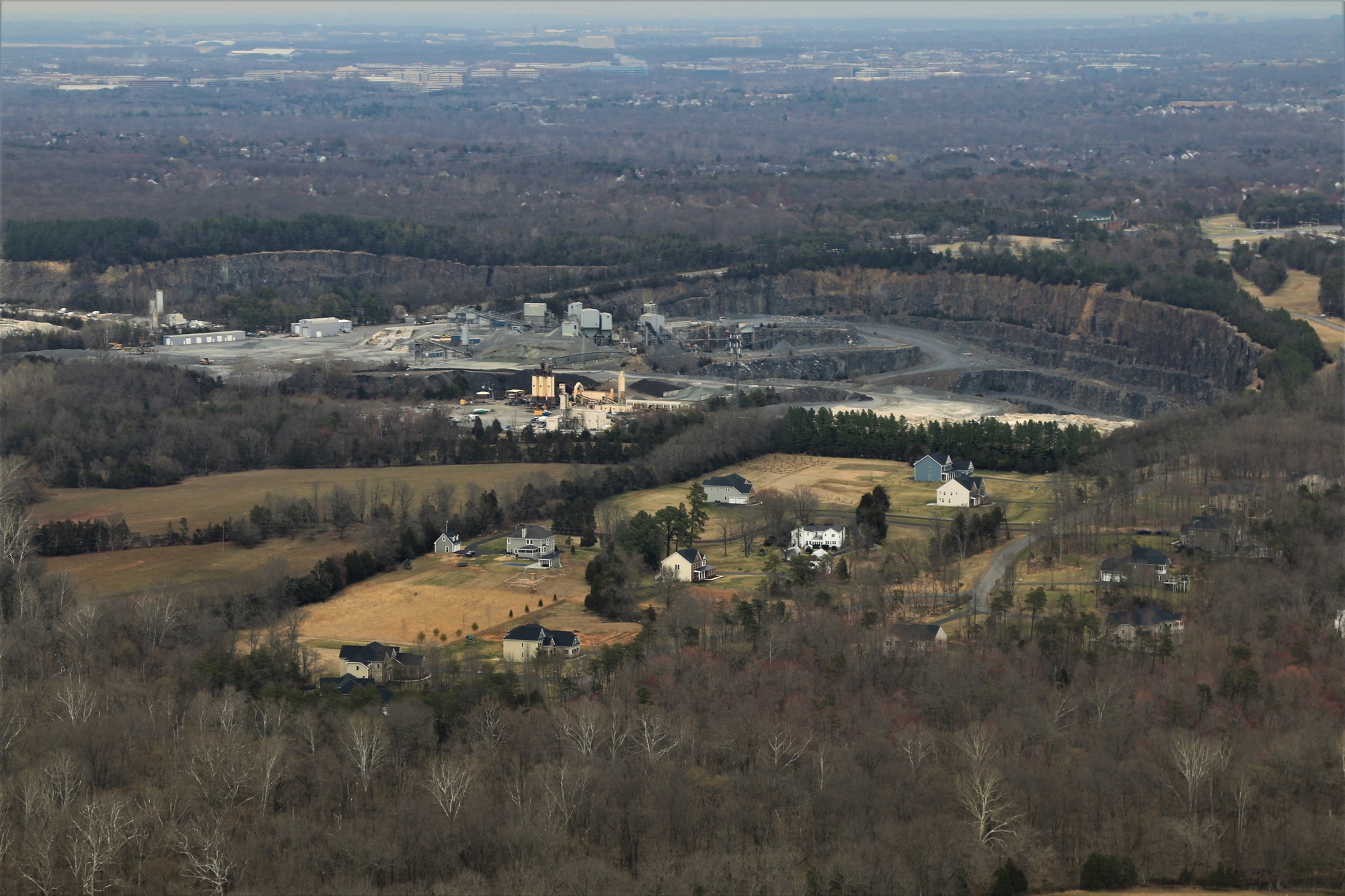
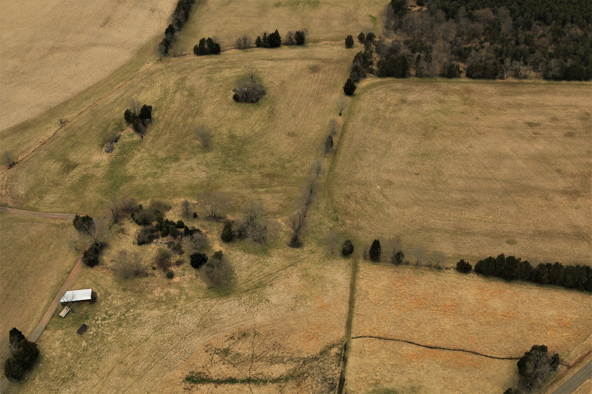
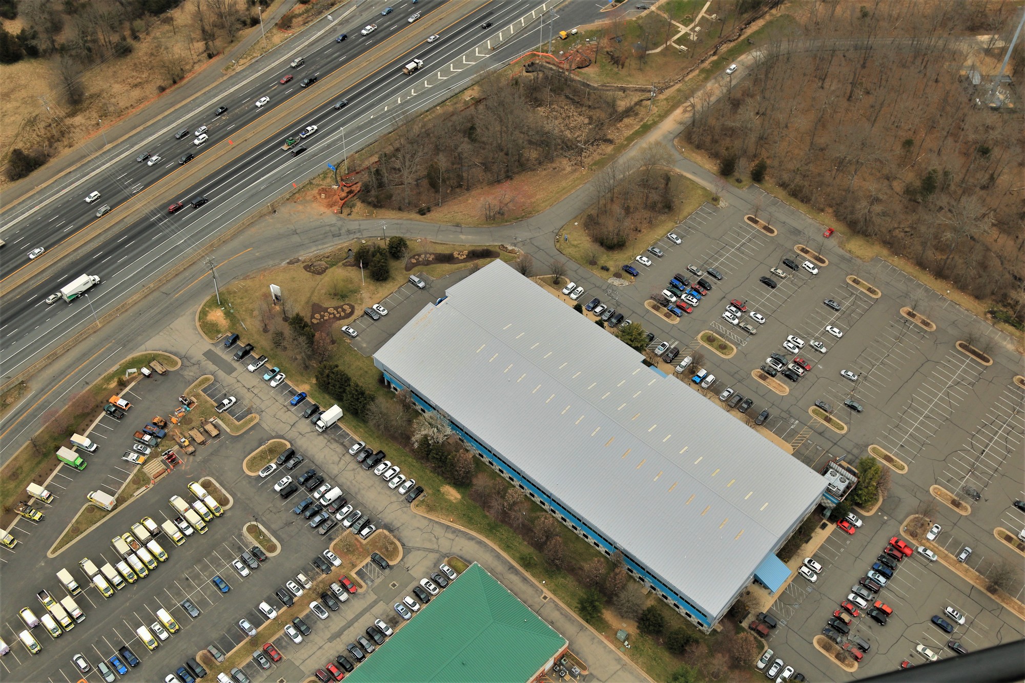
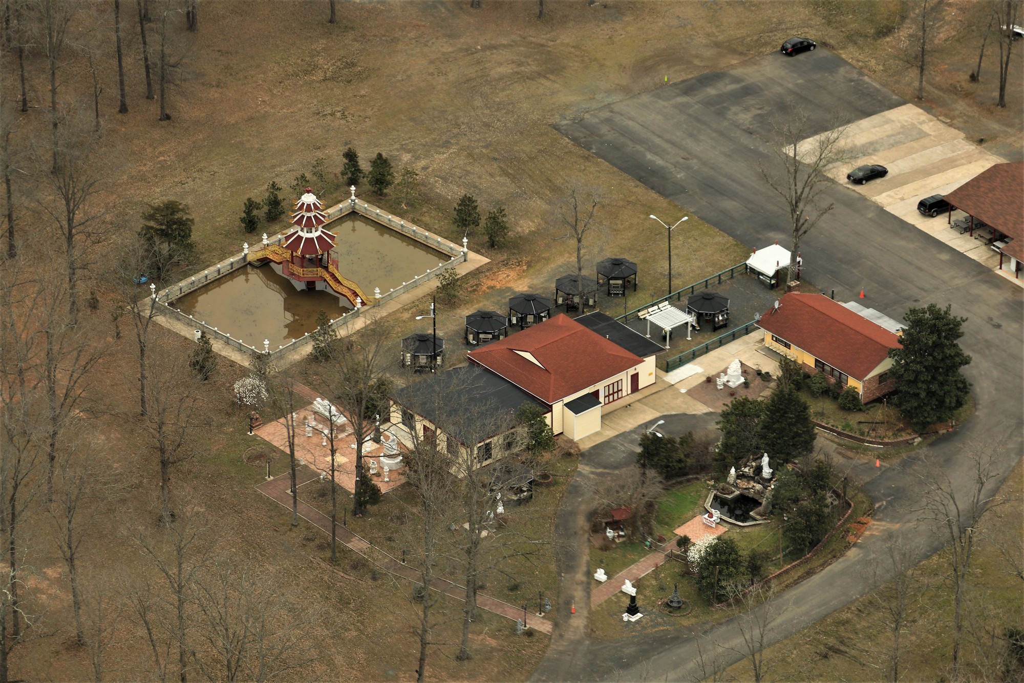
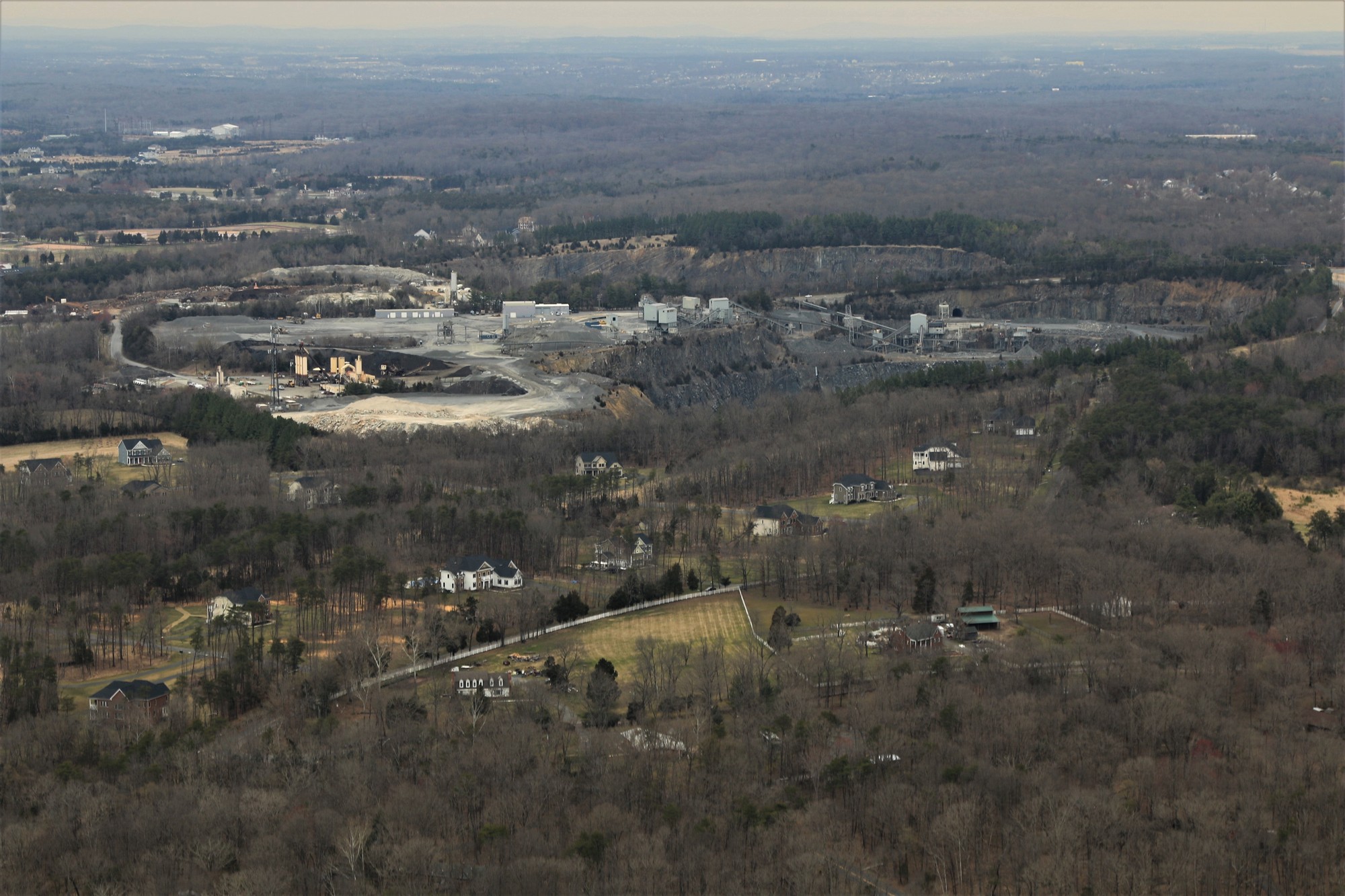
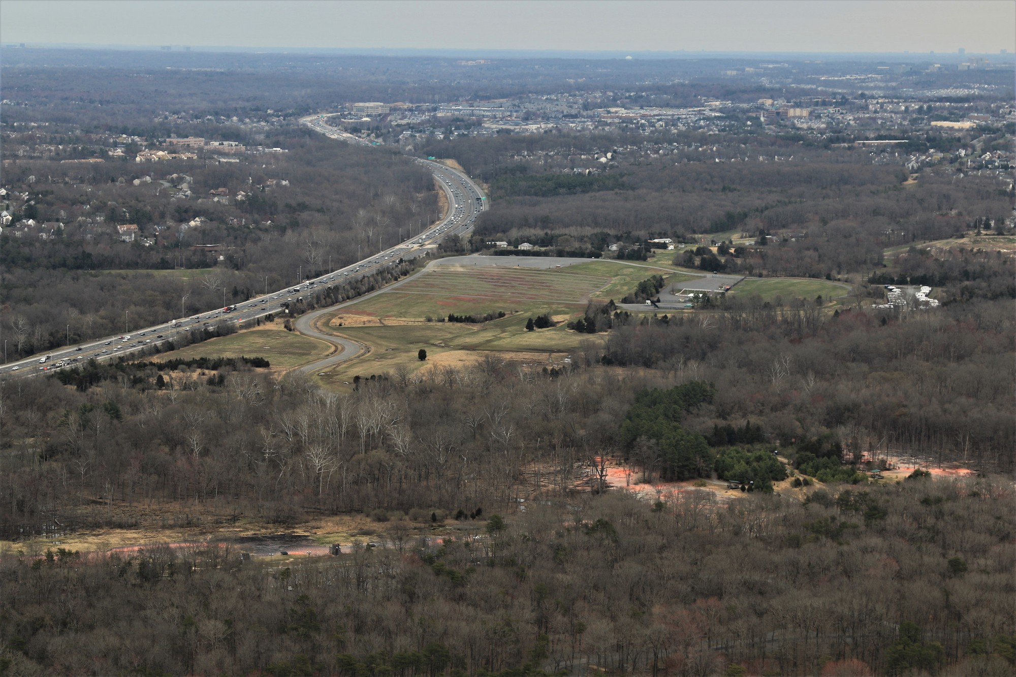
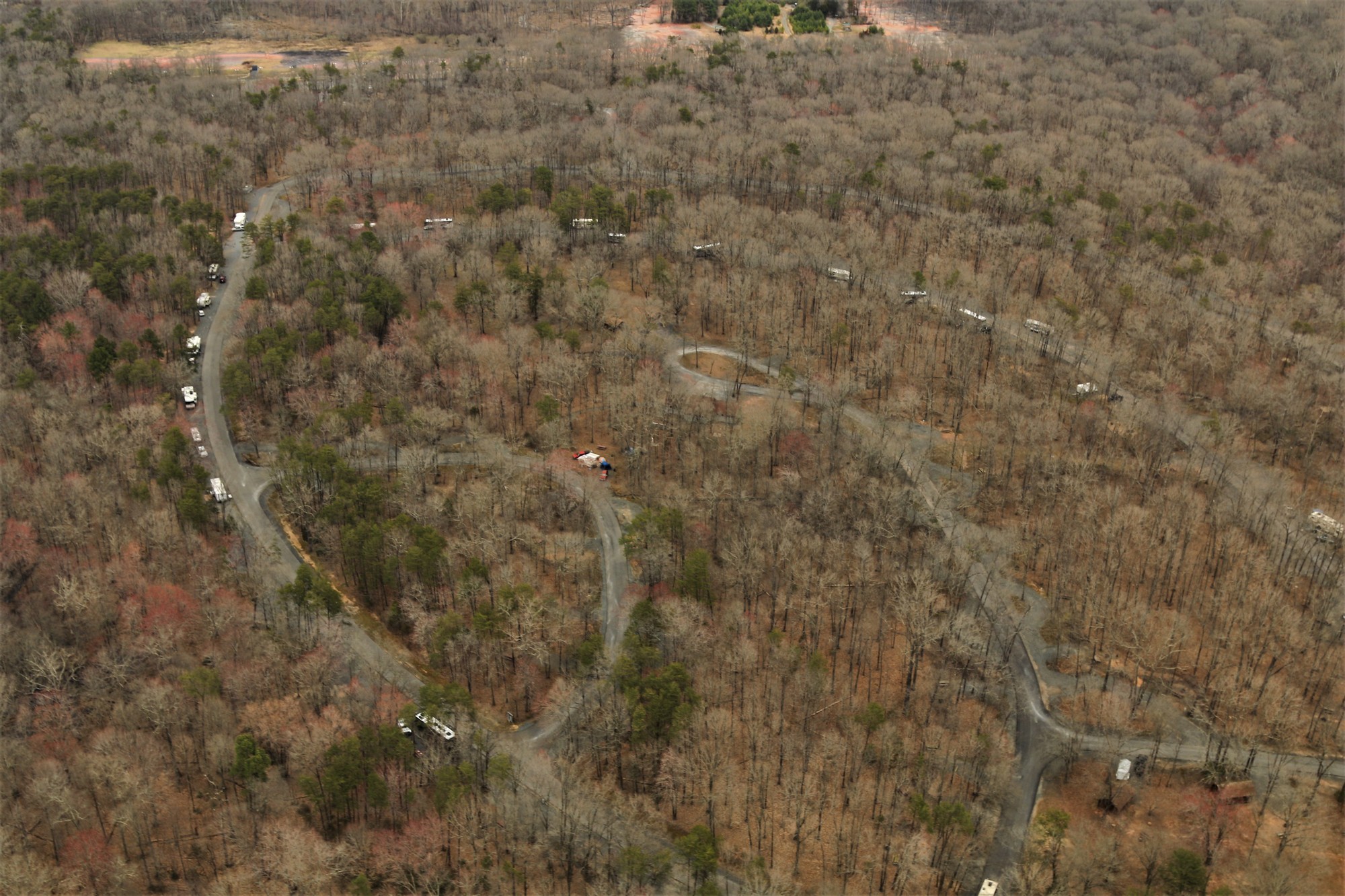
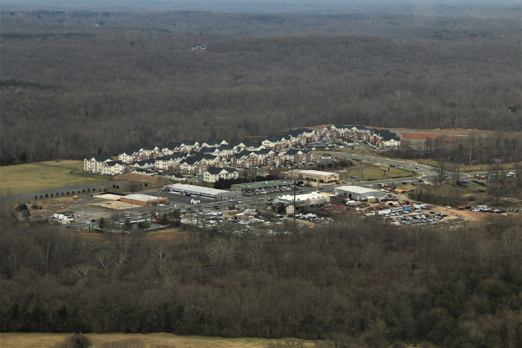
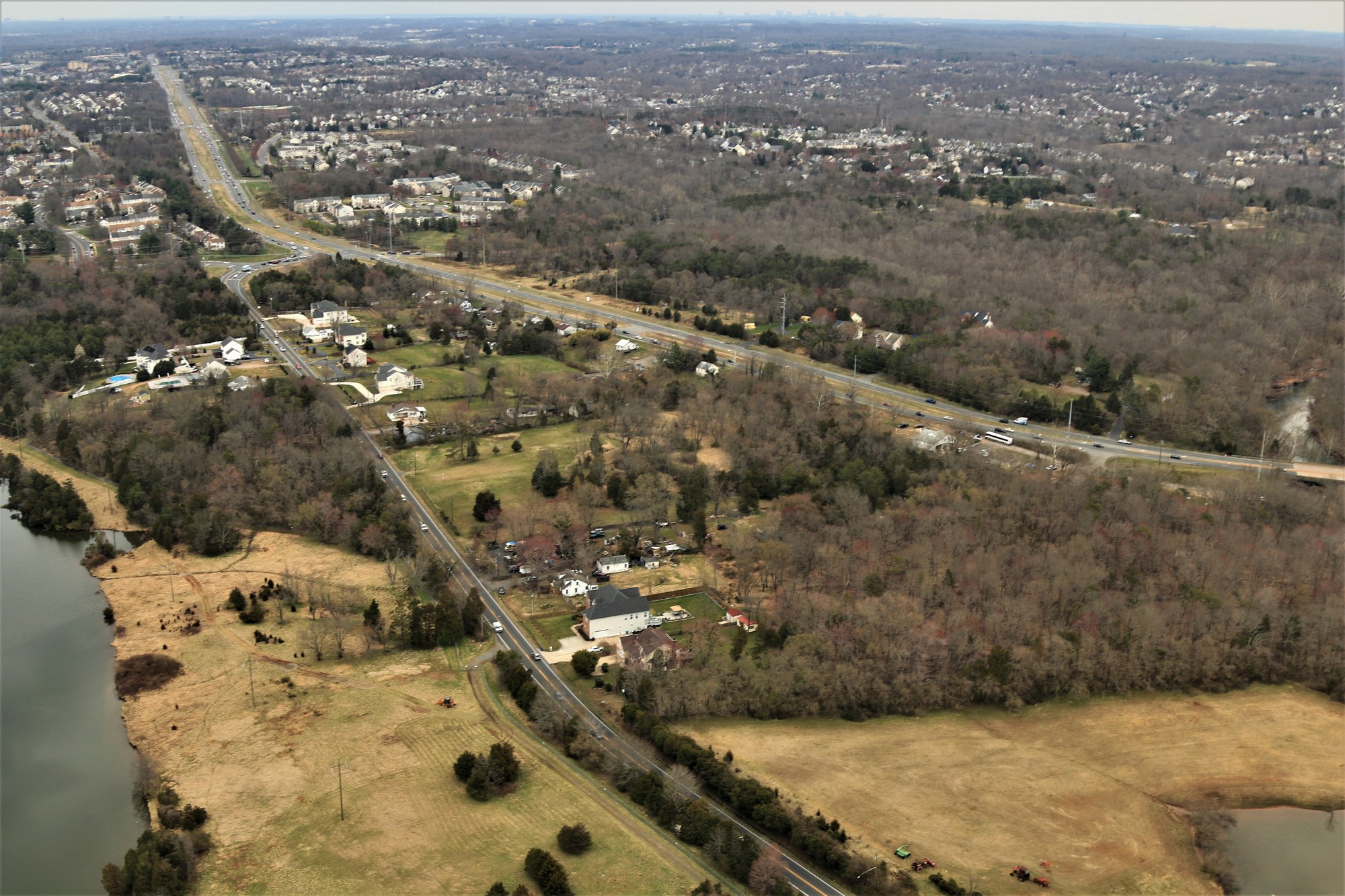
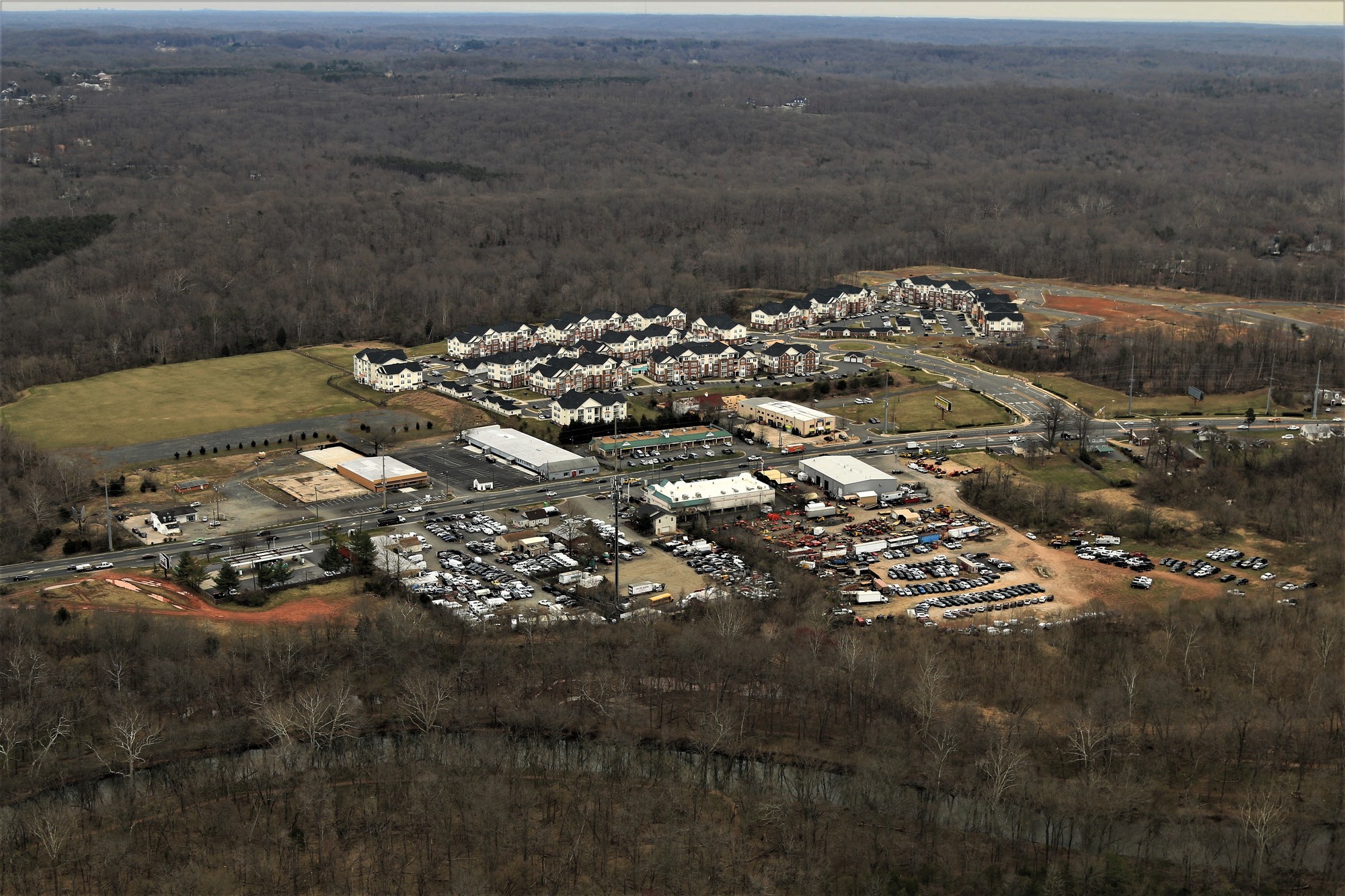
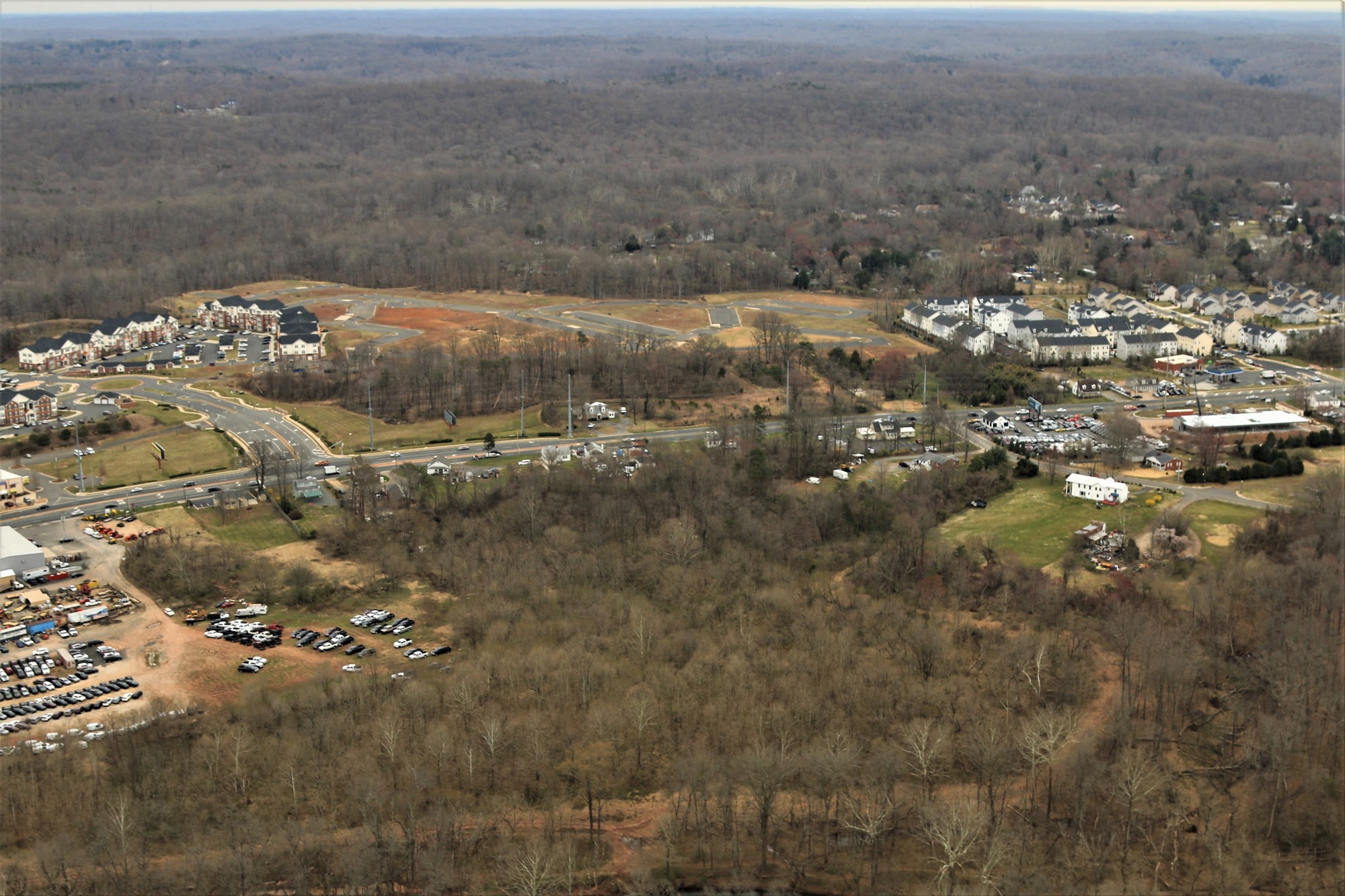
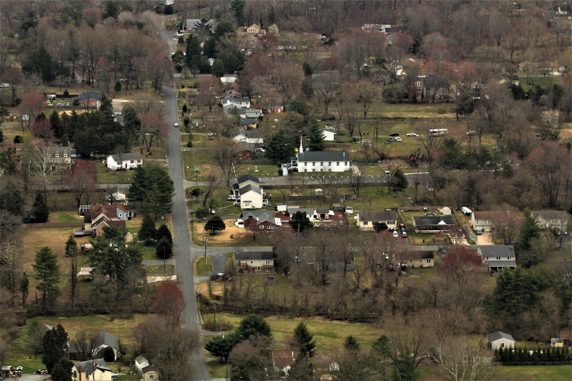
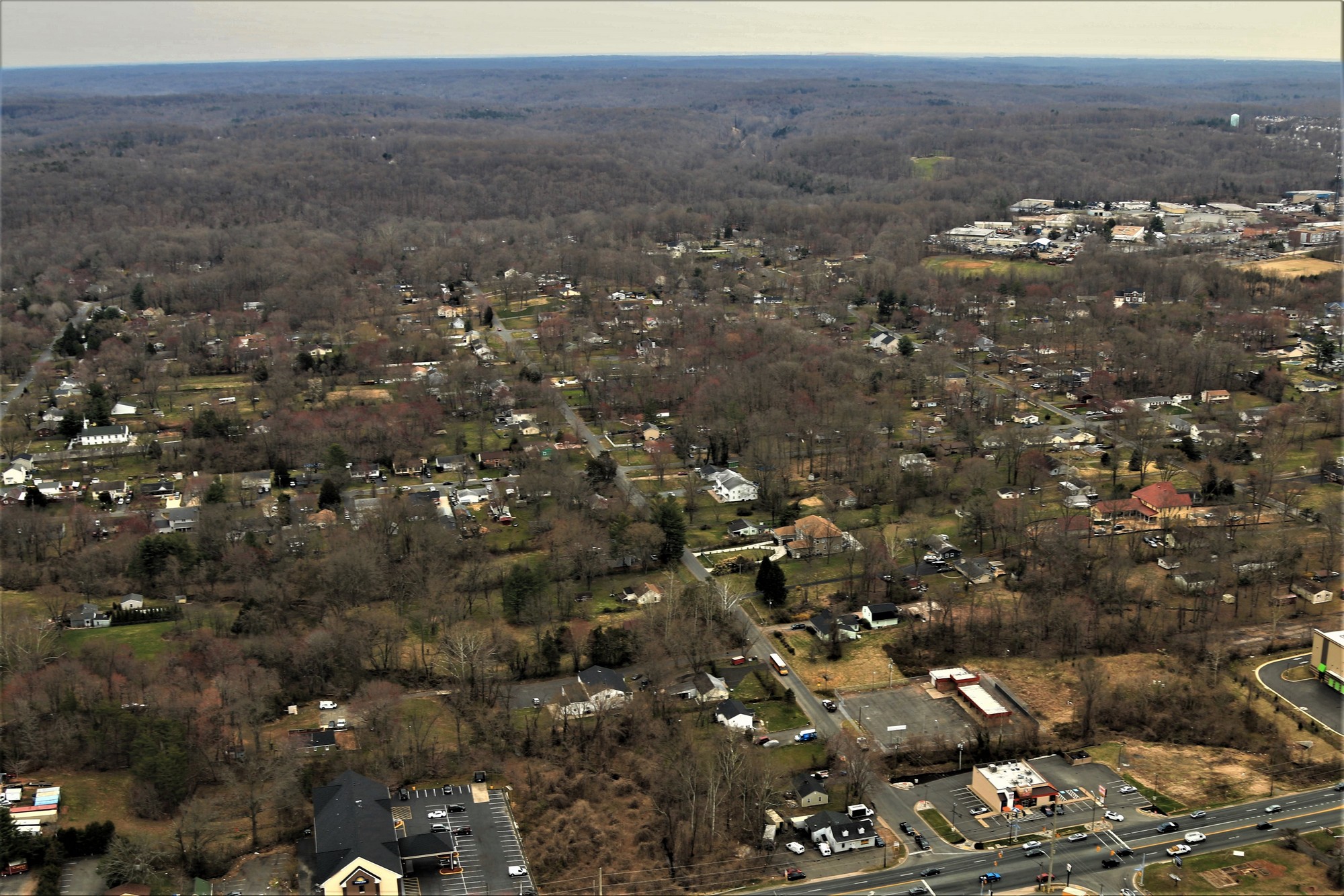
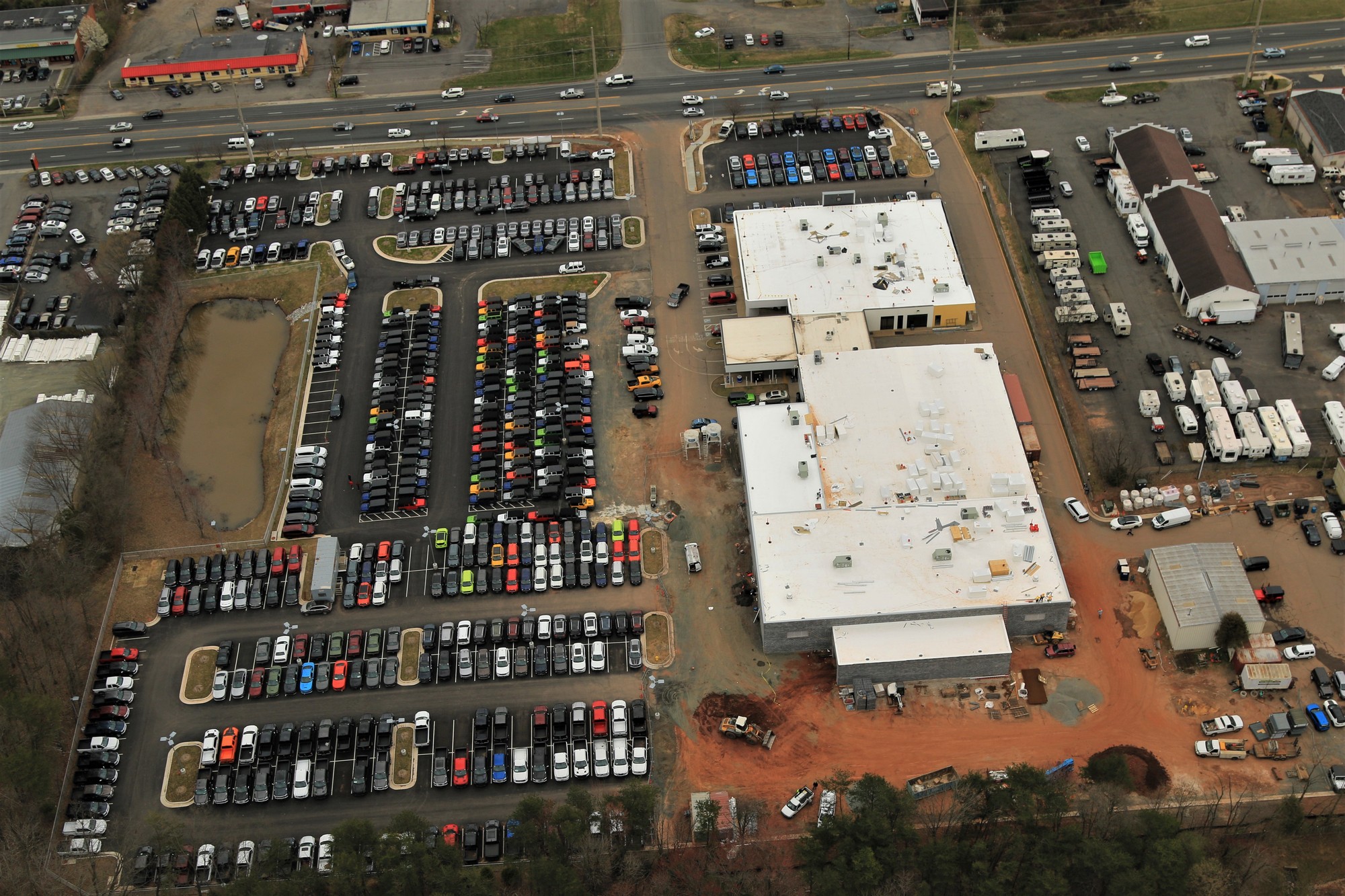
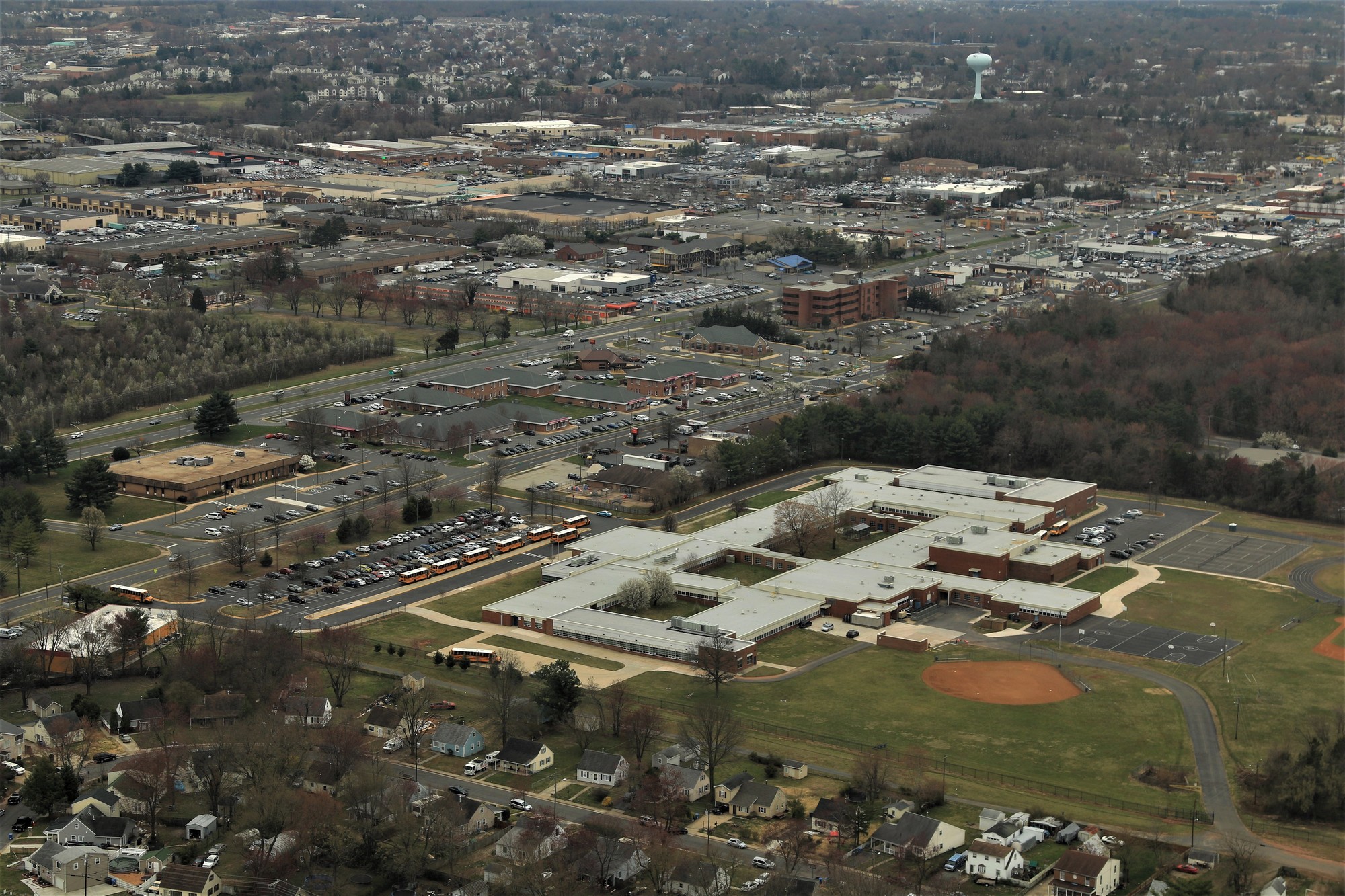
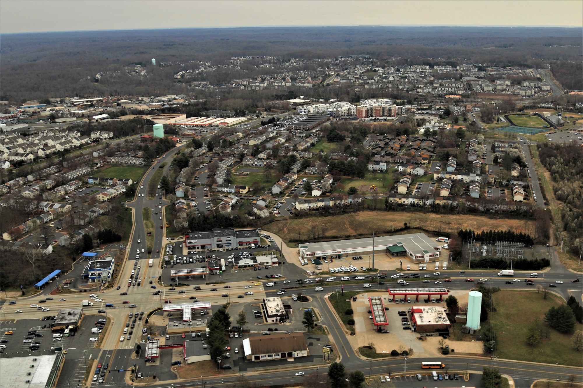
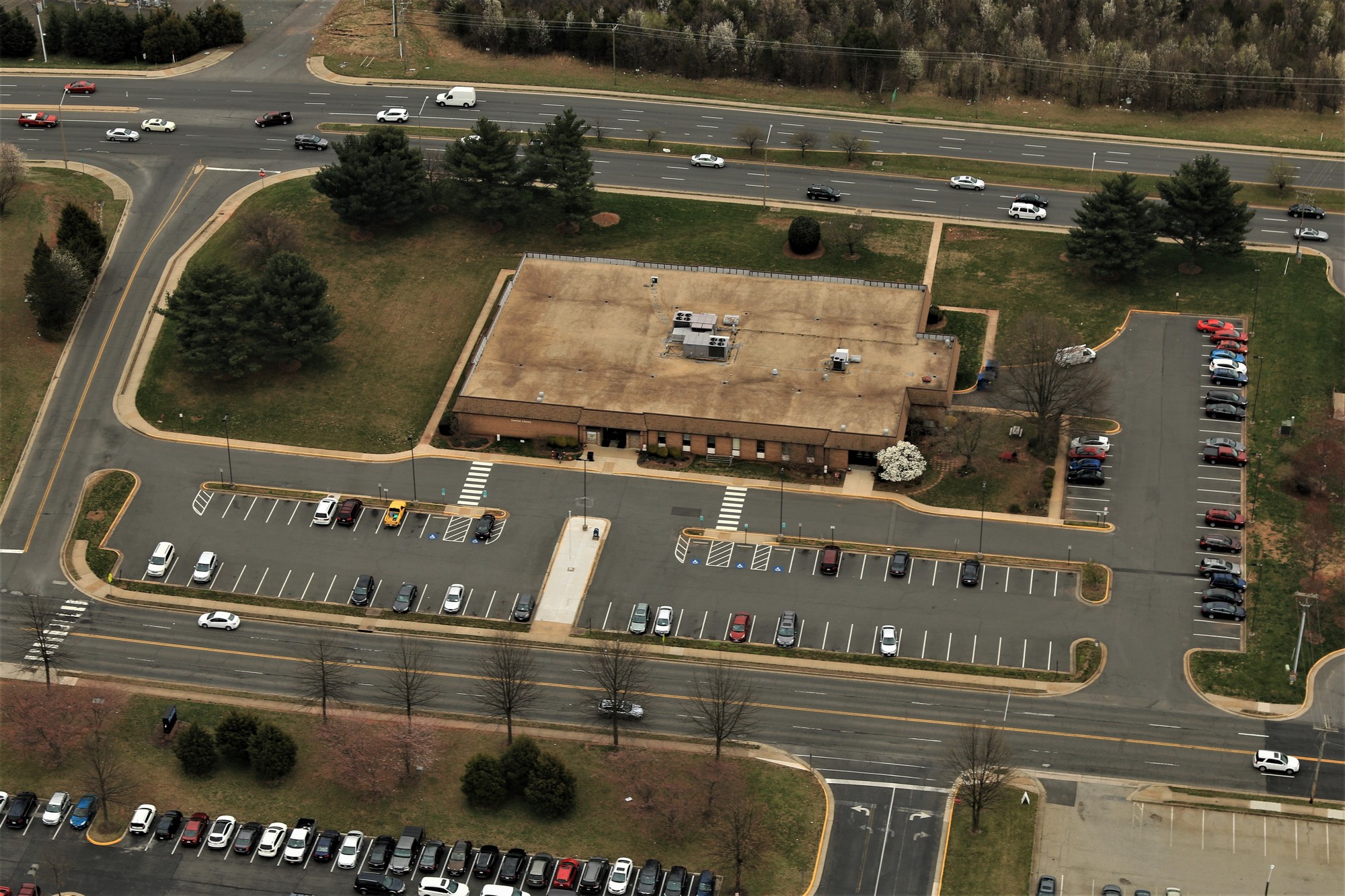
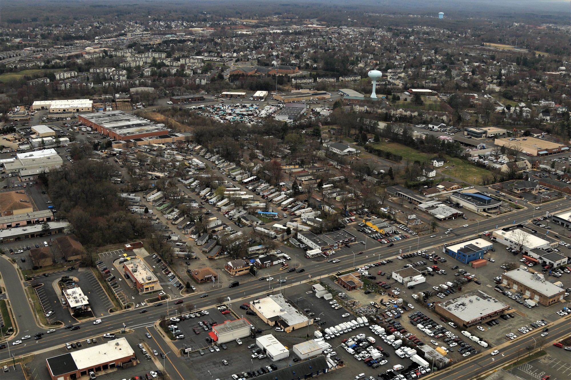
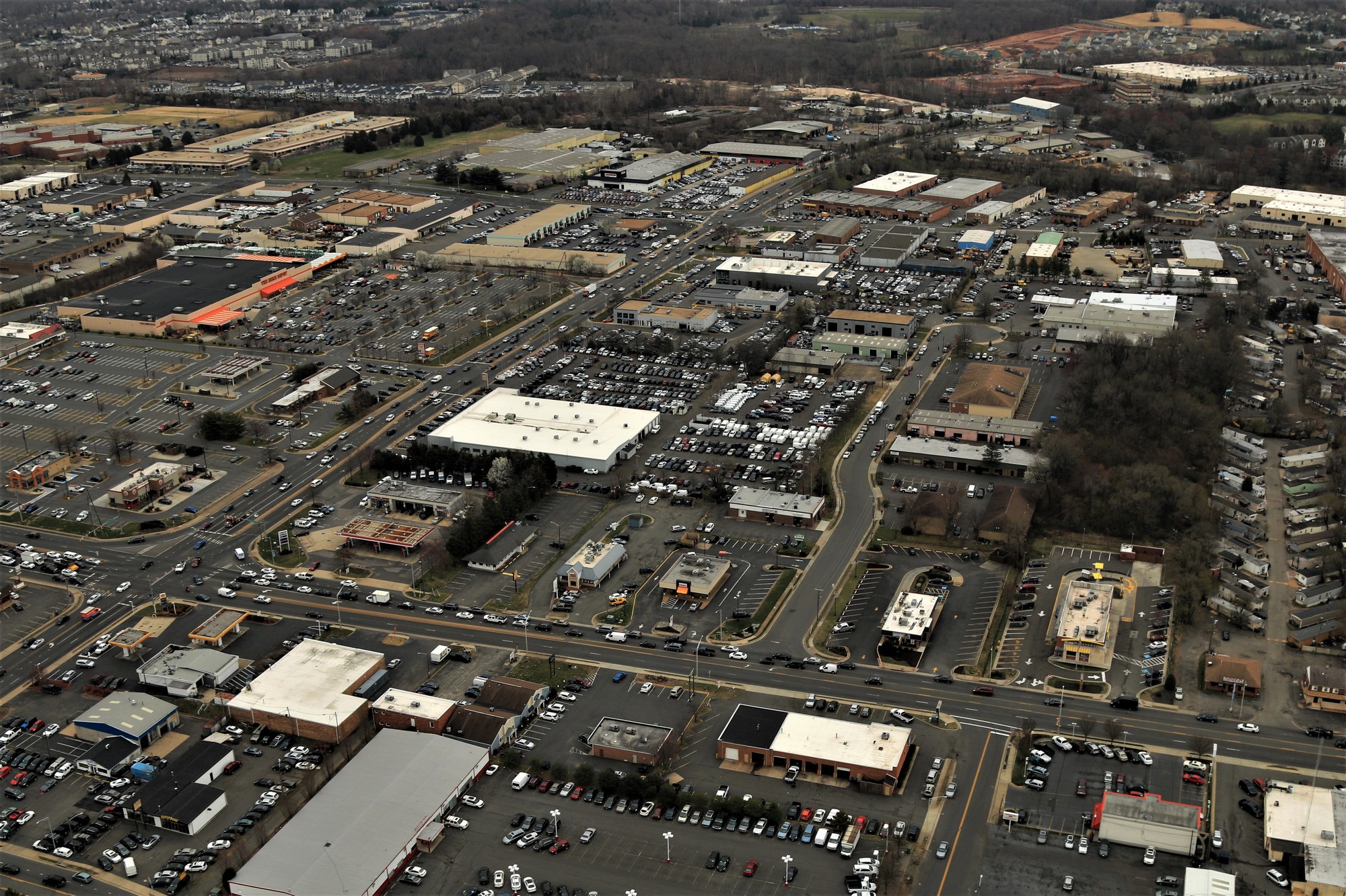
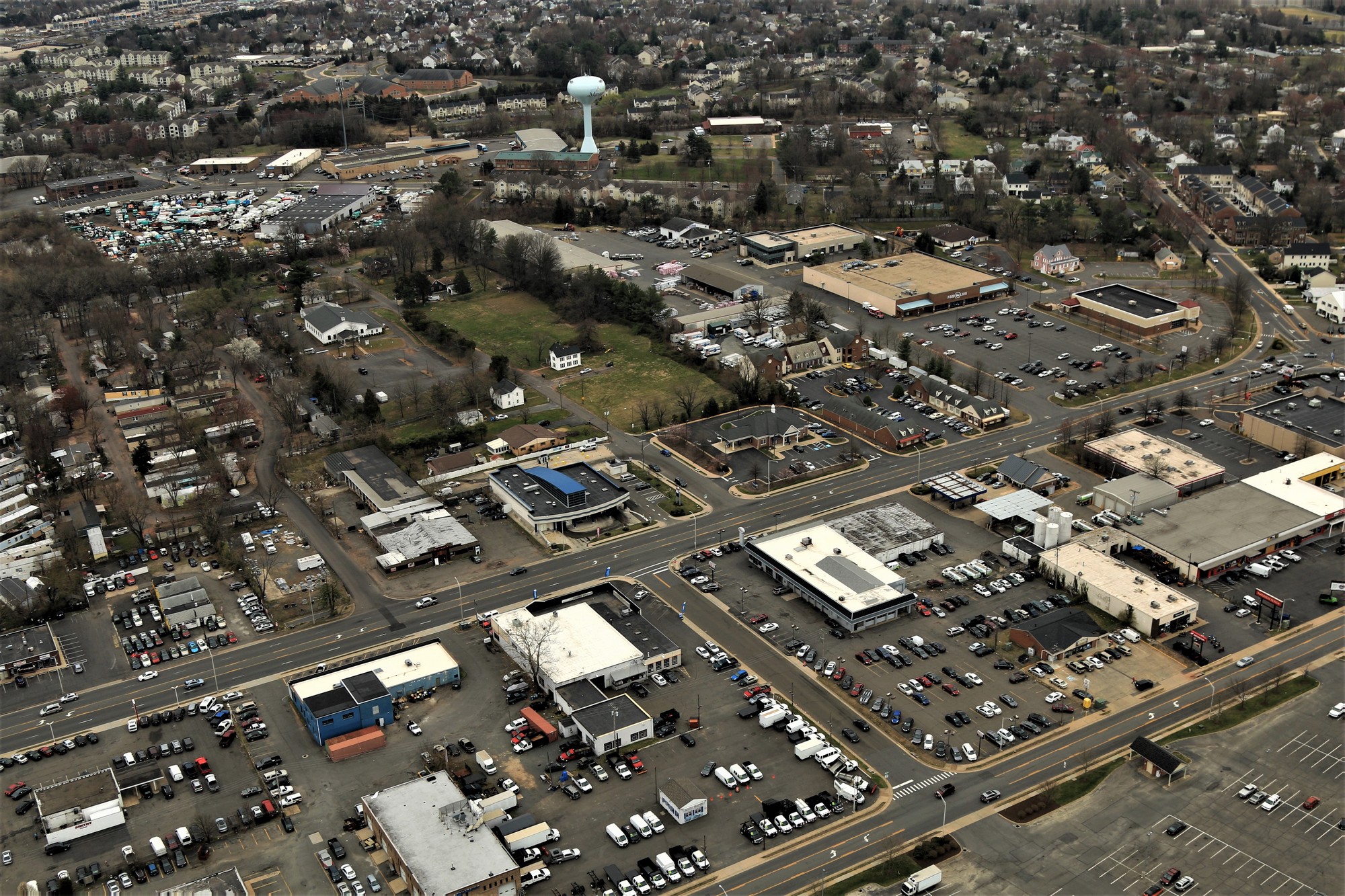
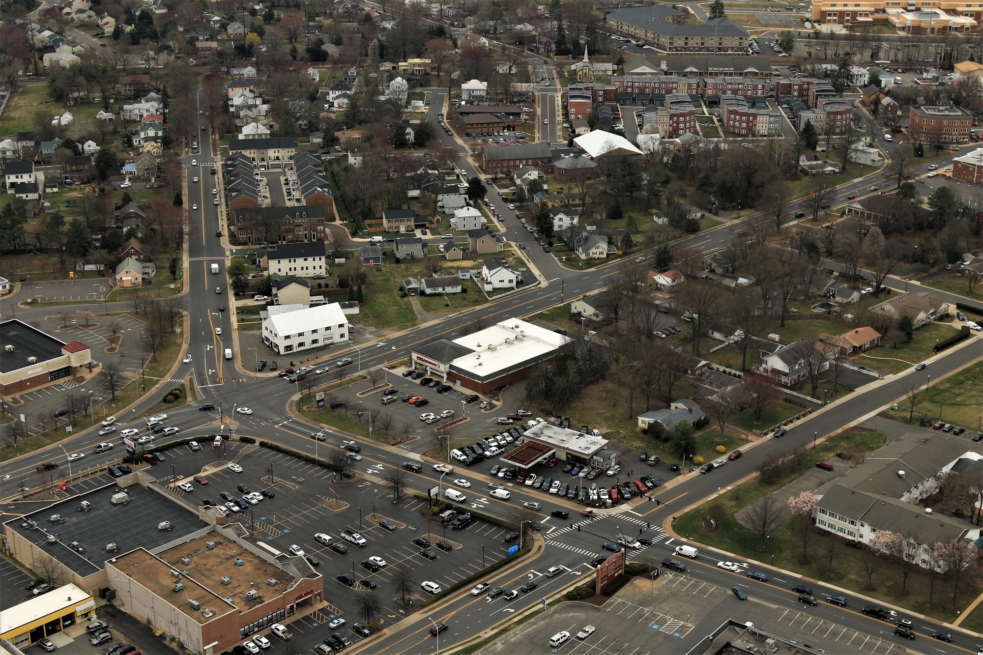
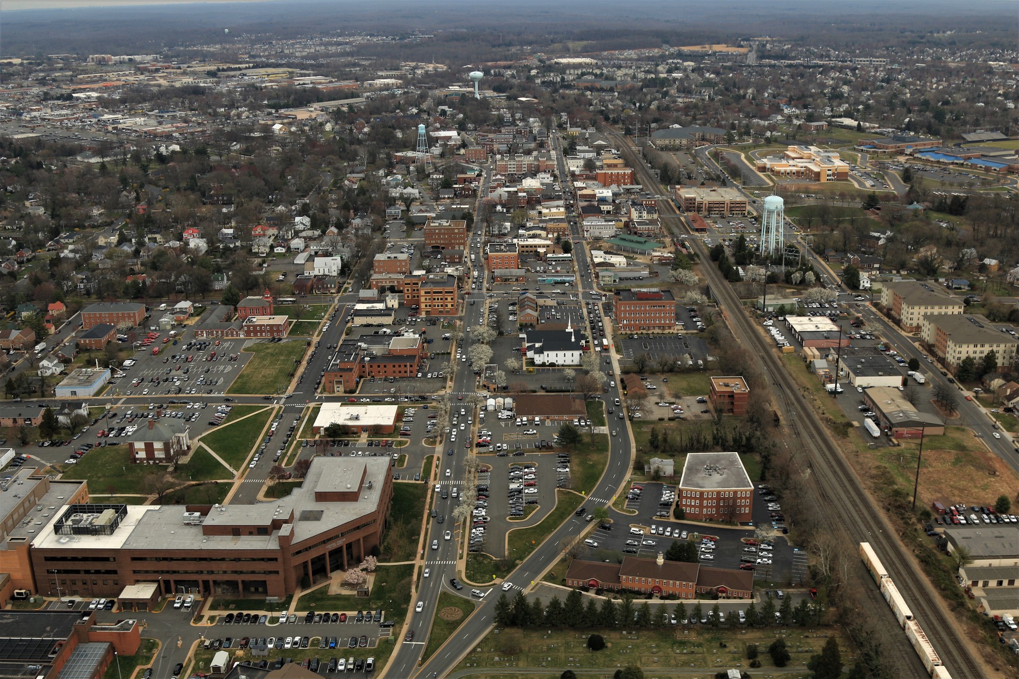
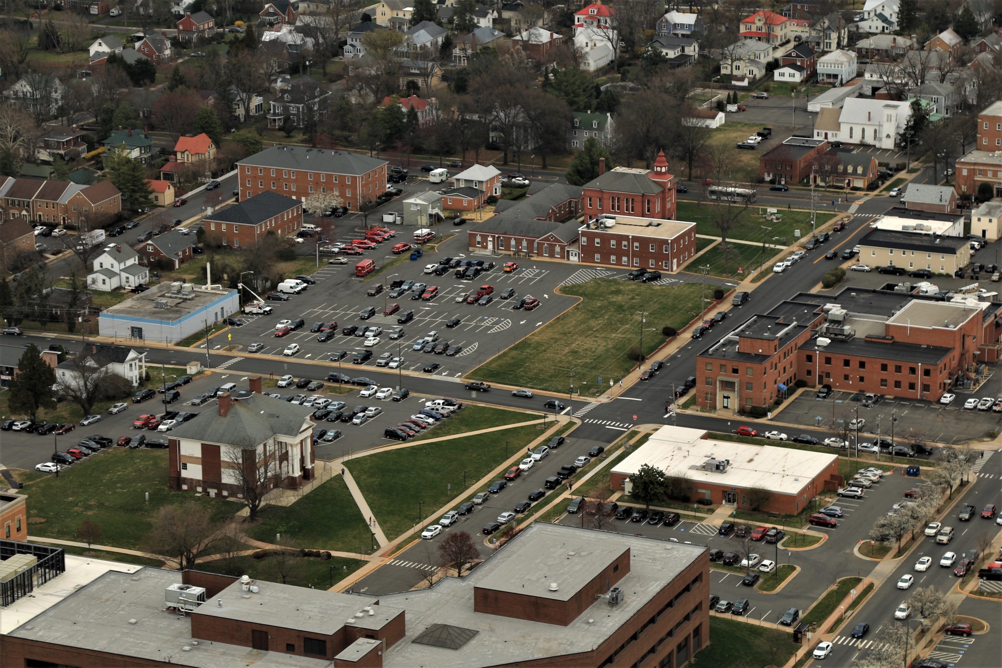
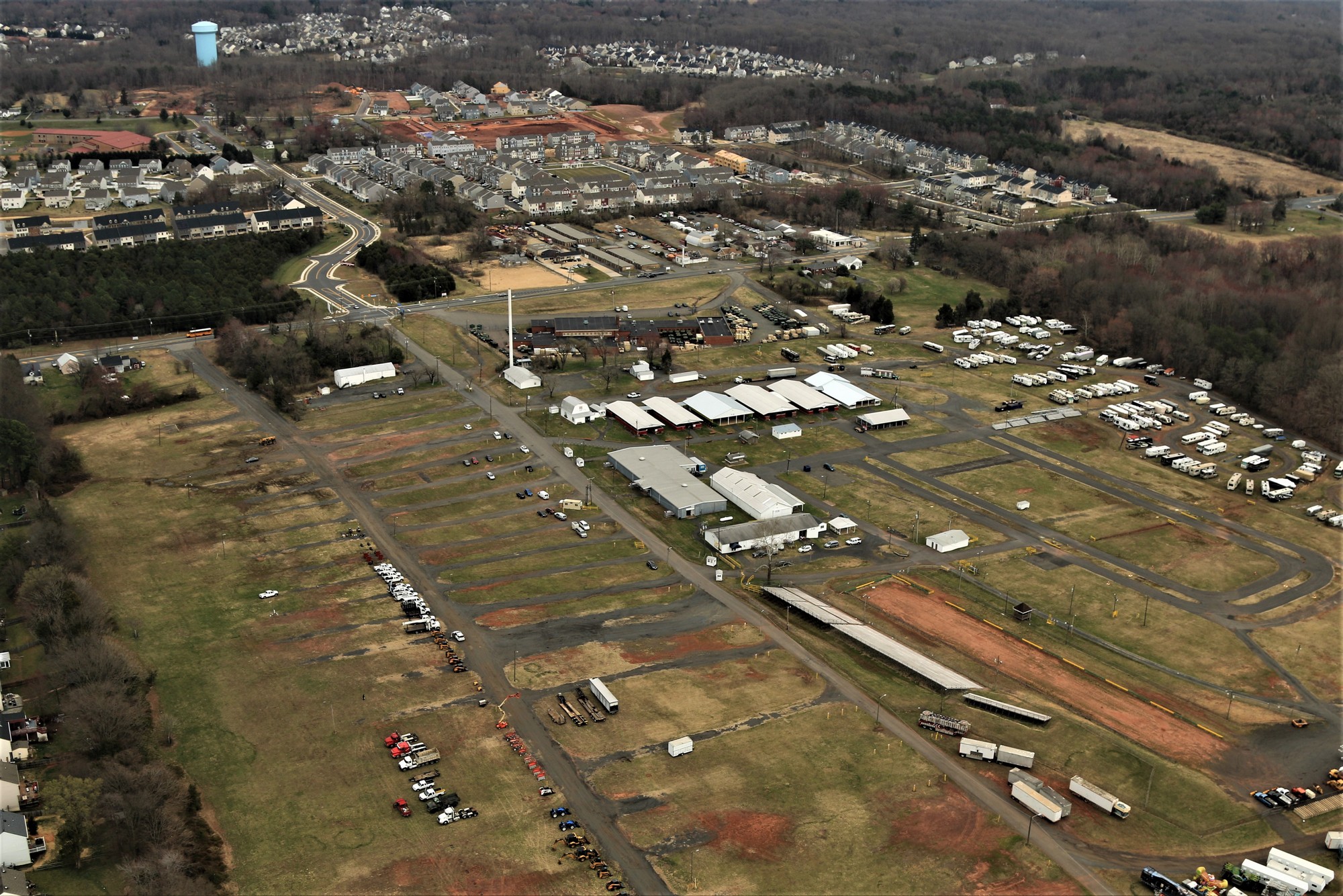
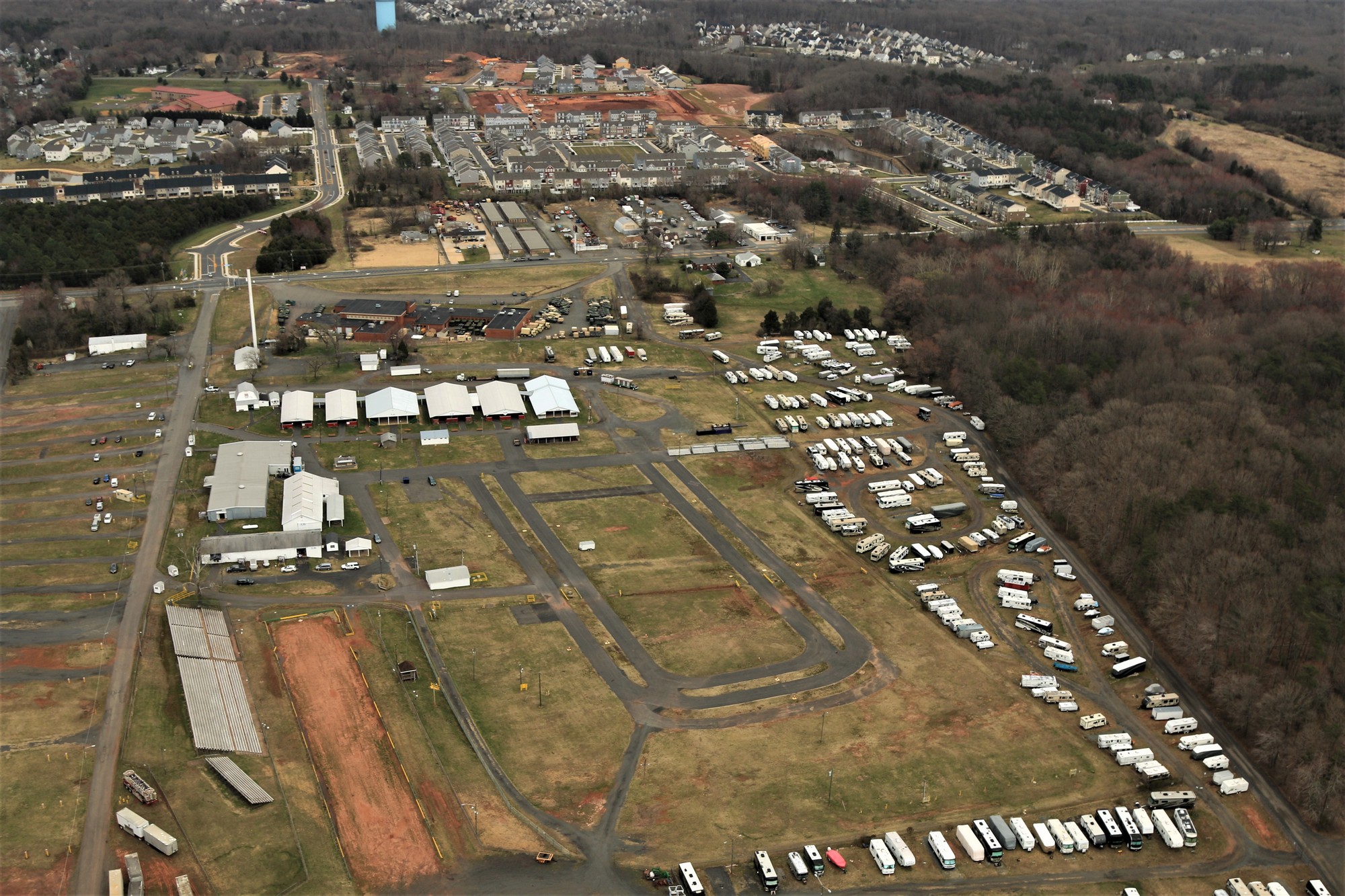
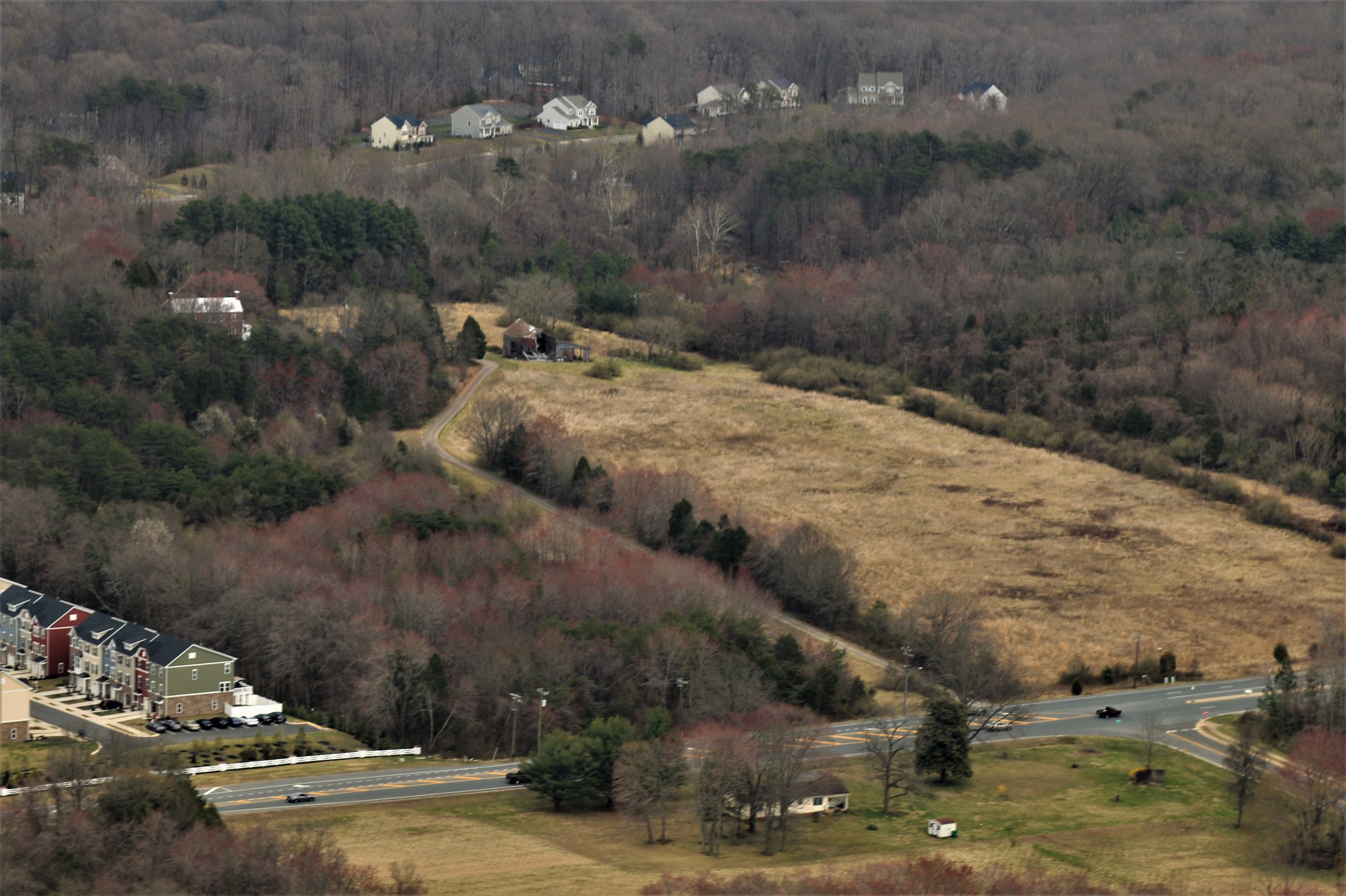
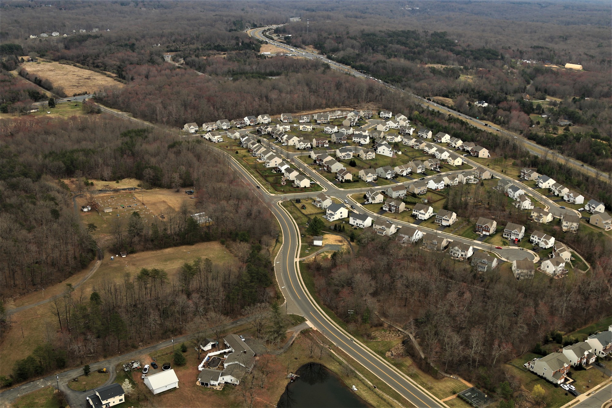
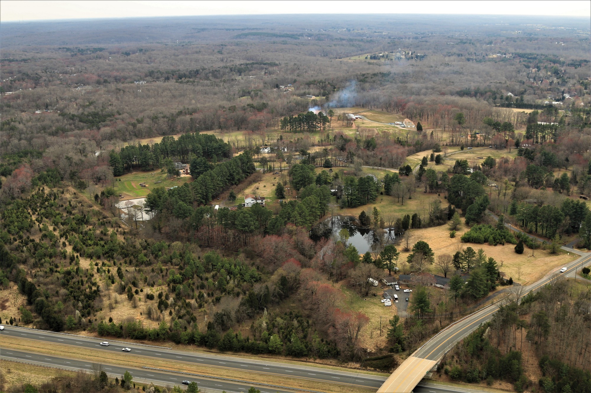
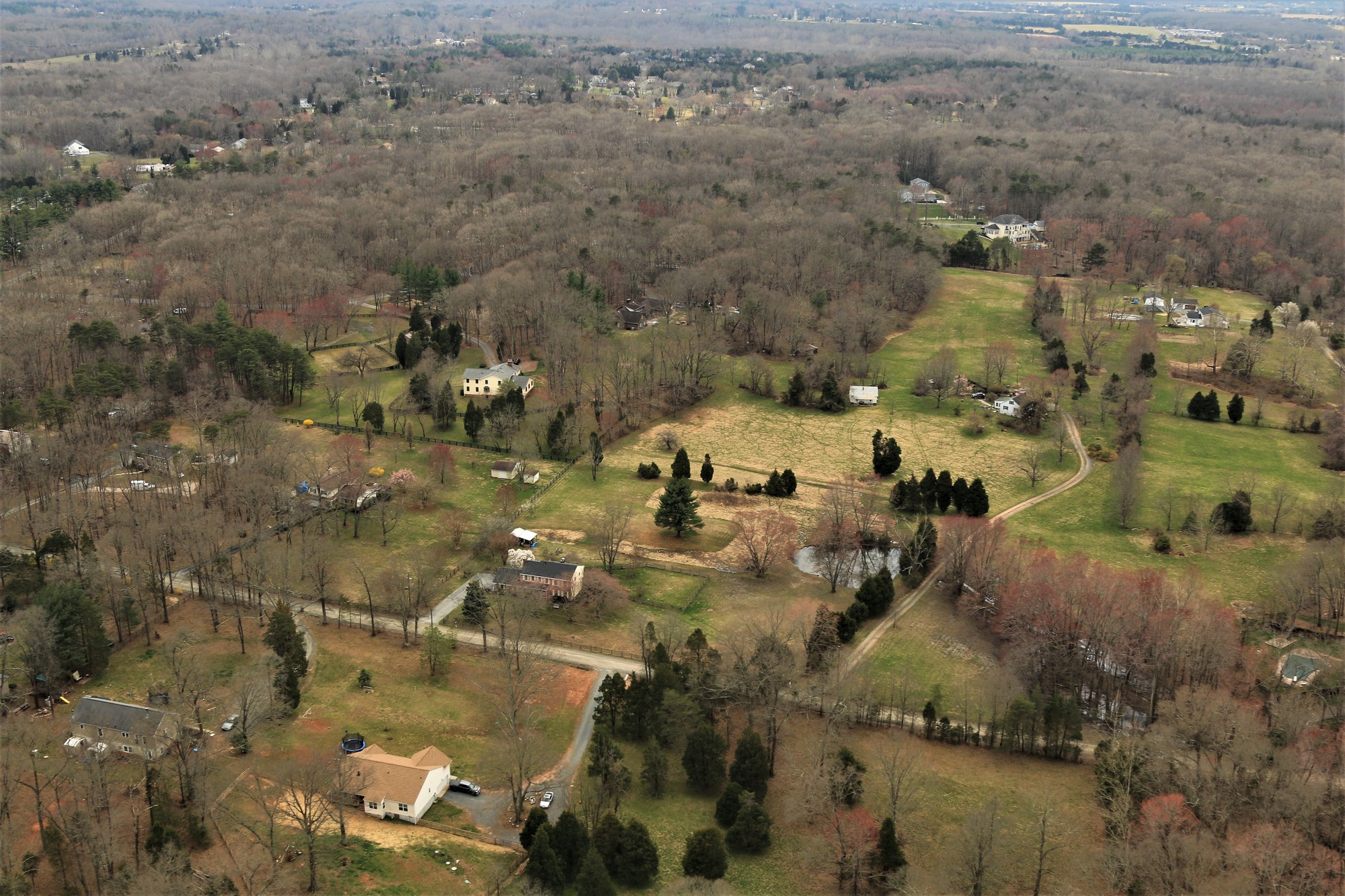
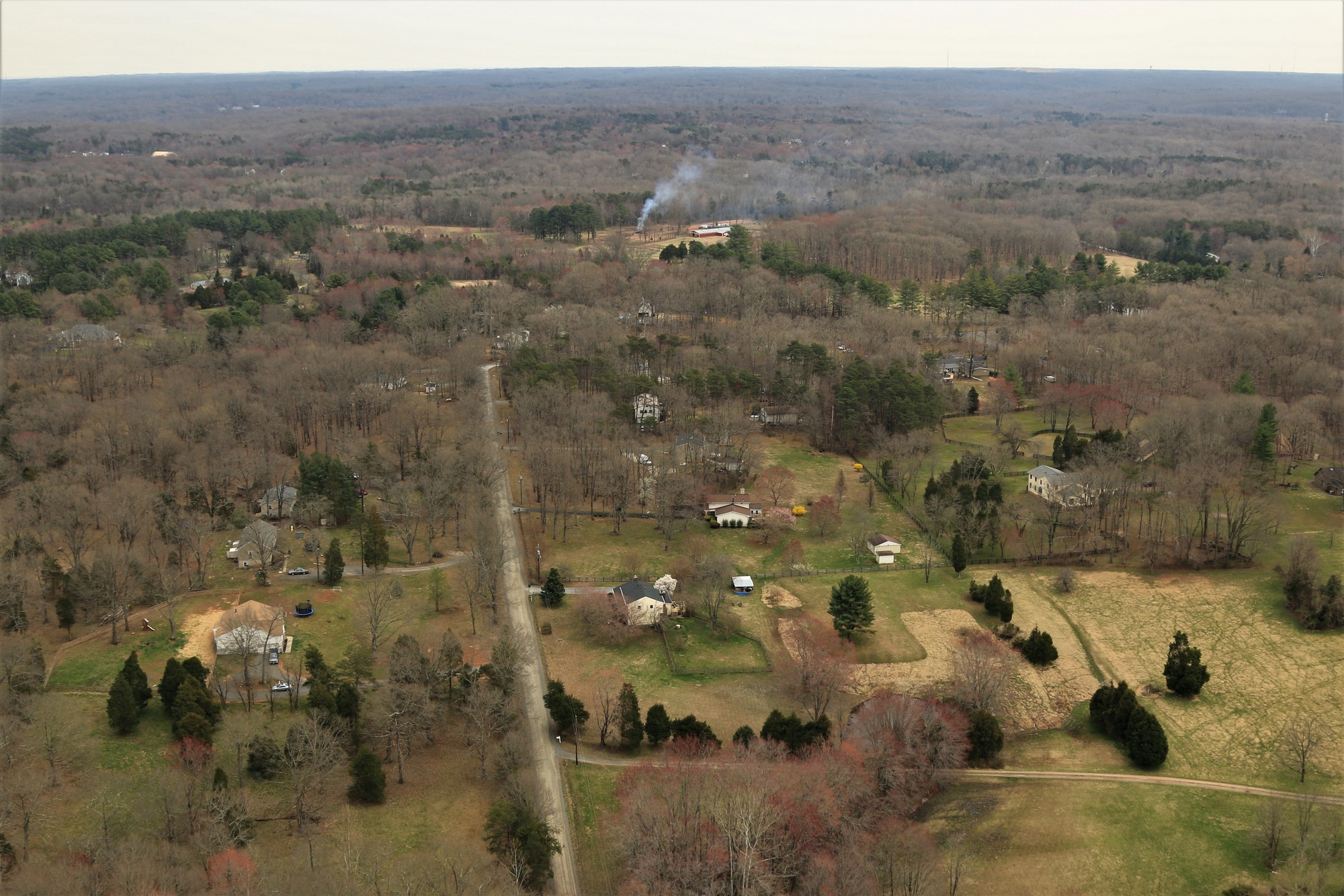
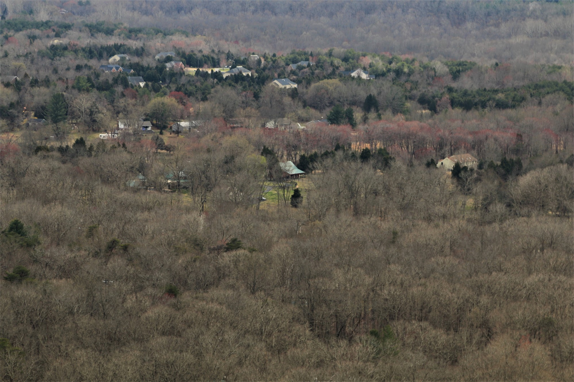
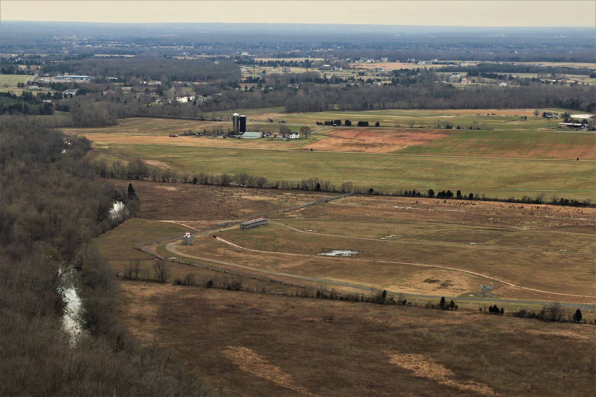
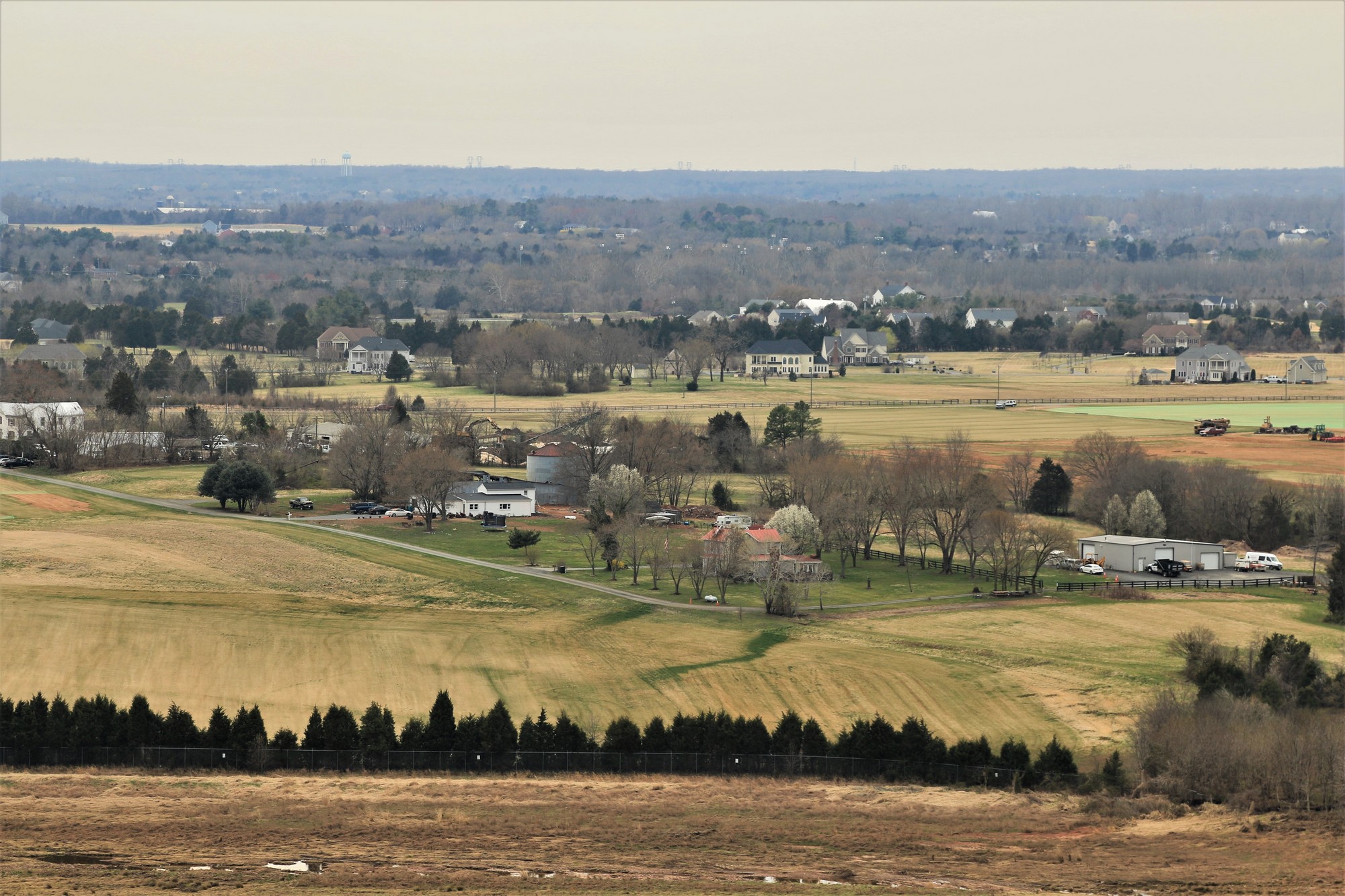
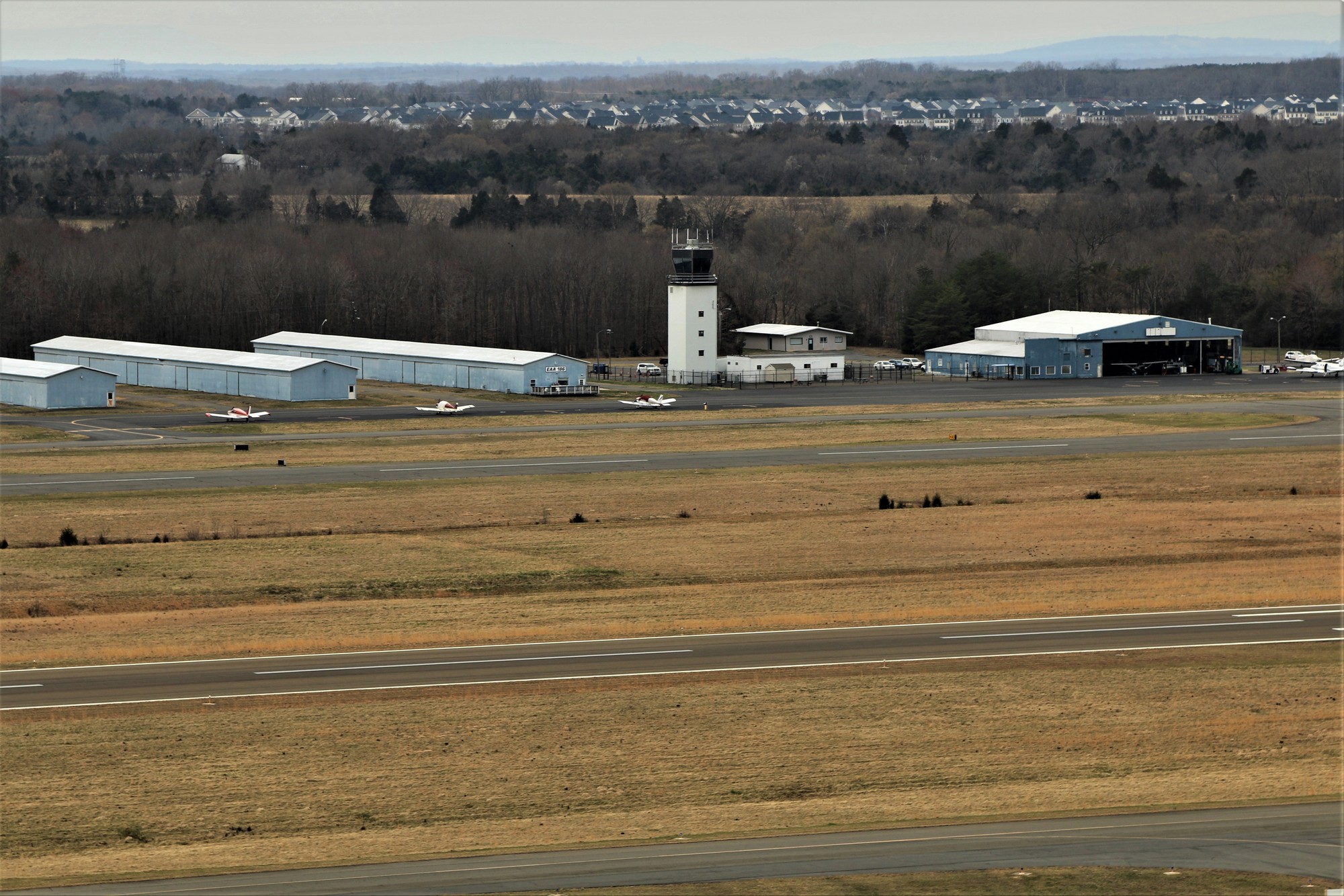
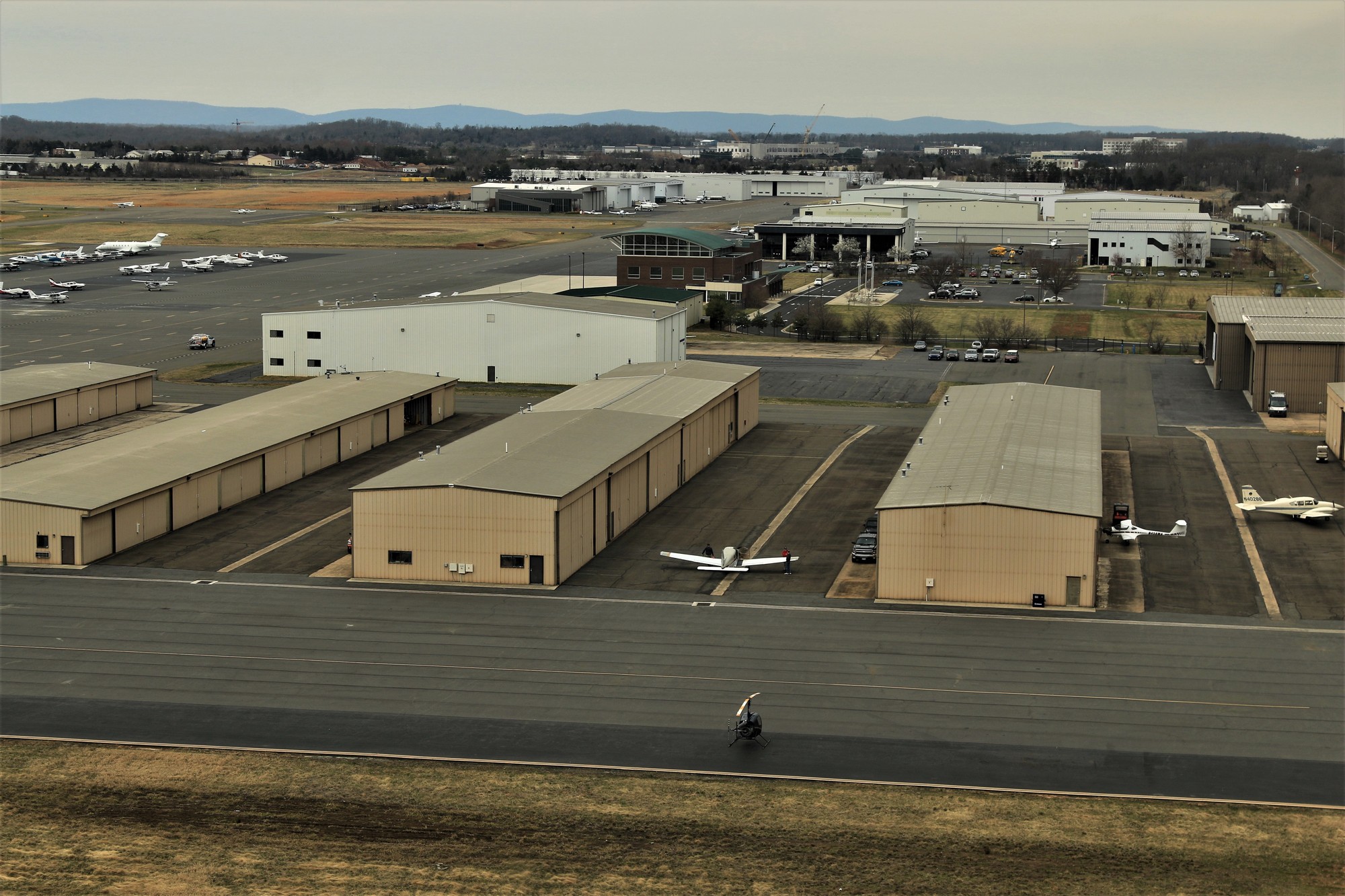
Aerial Photo Survey 2019

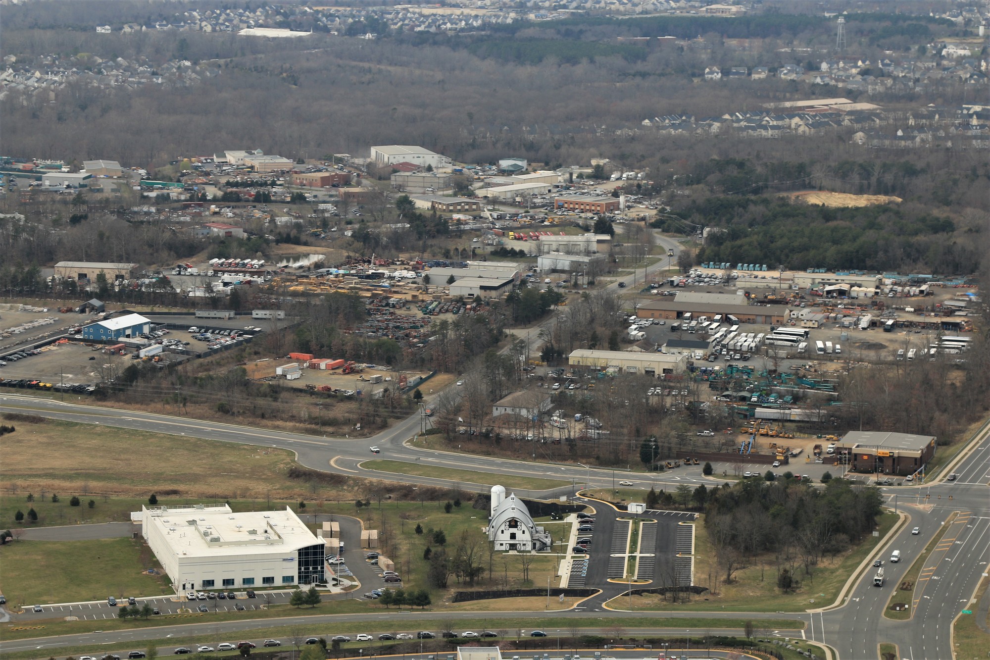
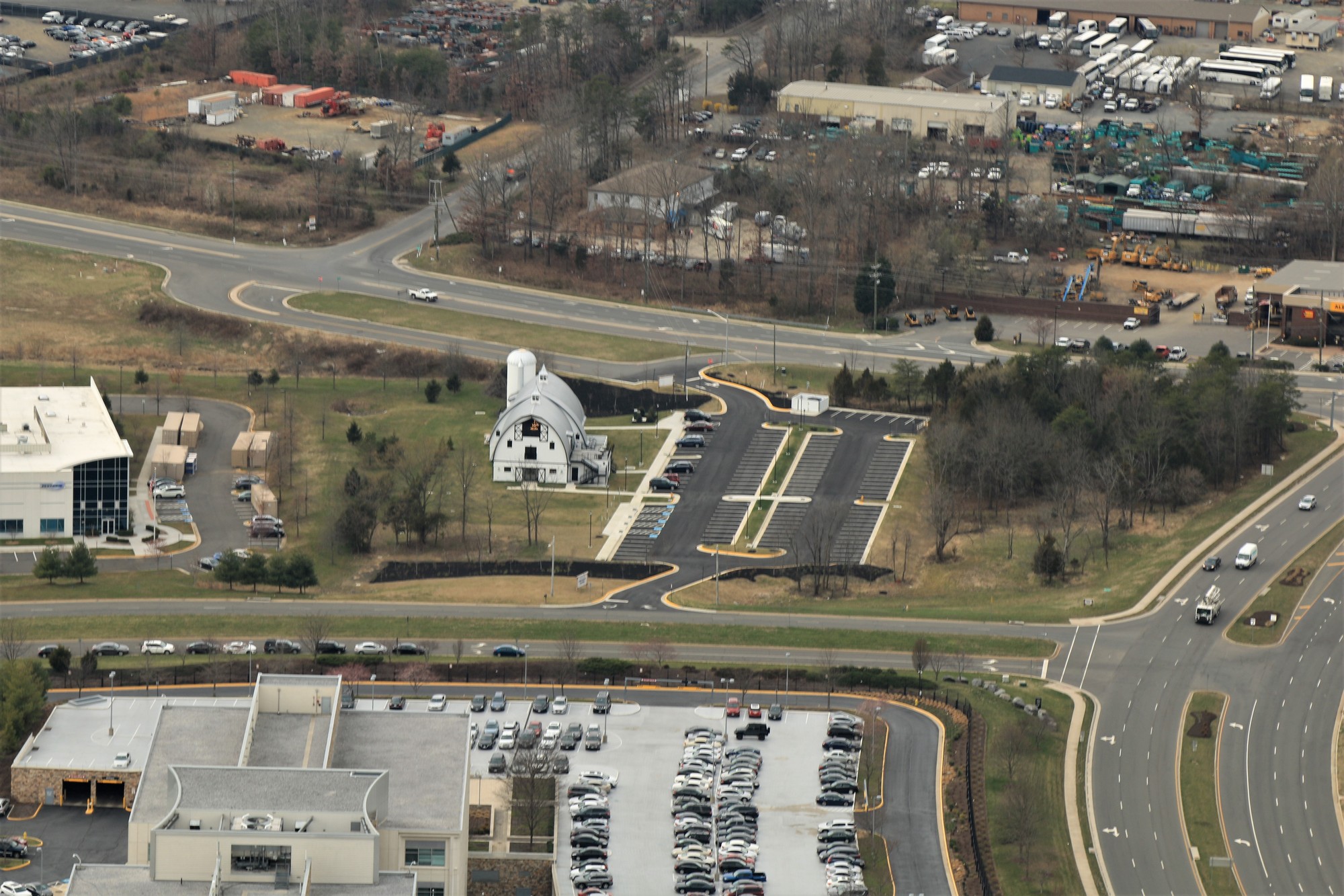
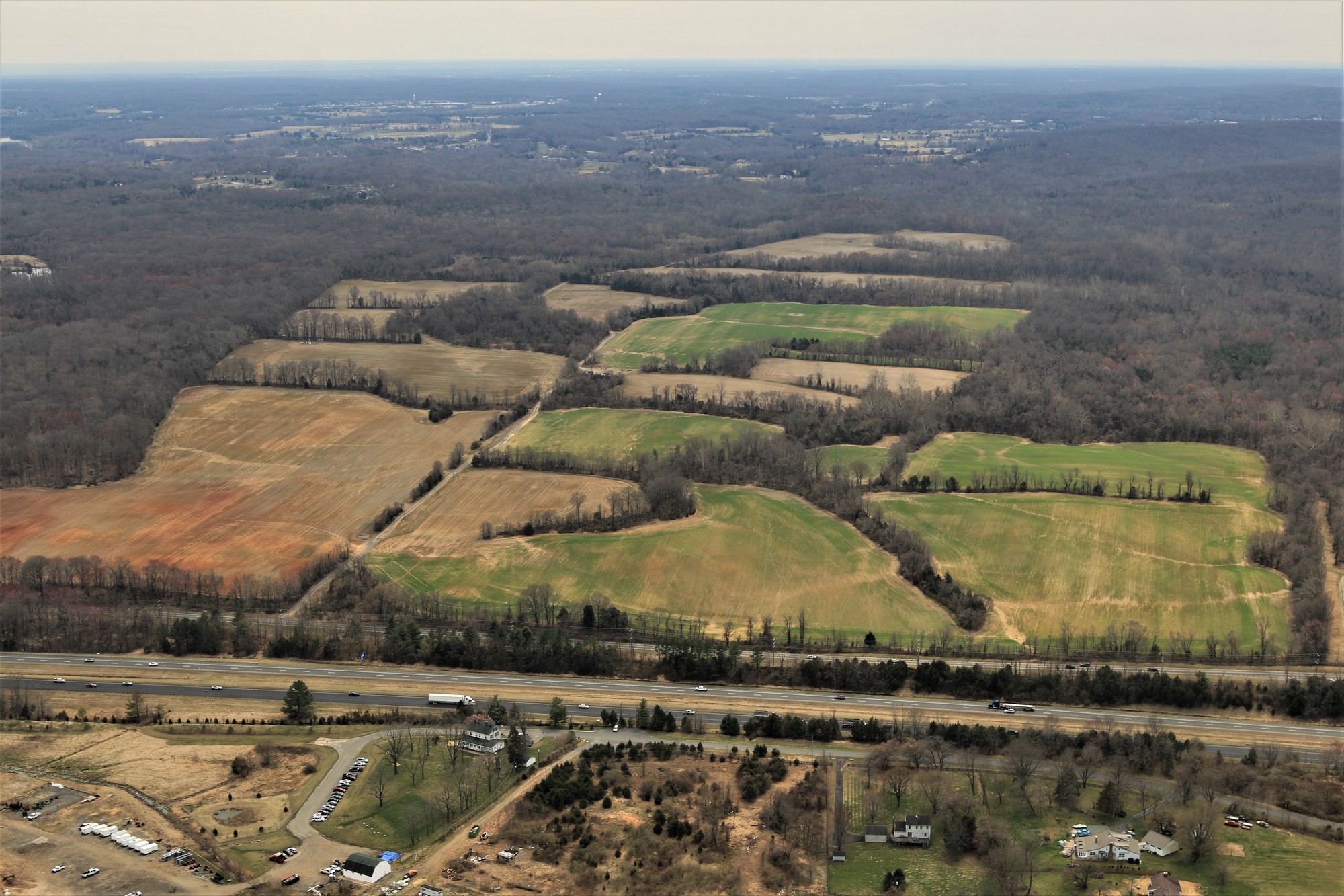
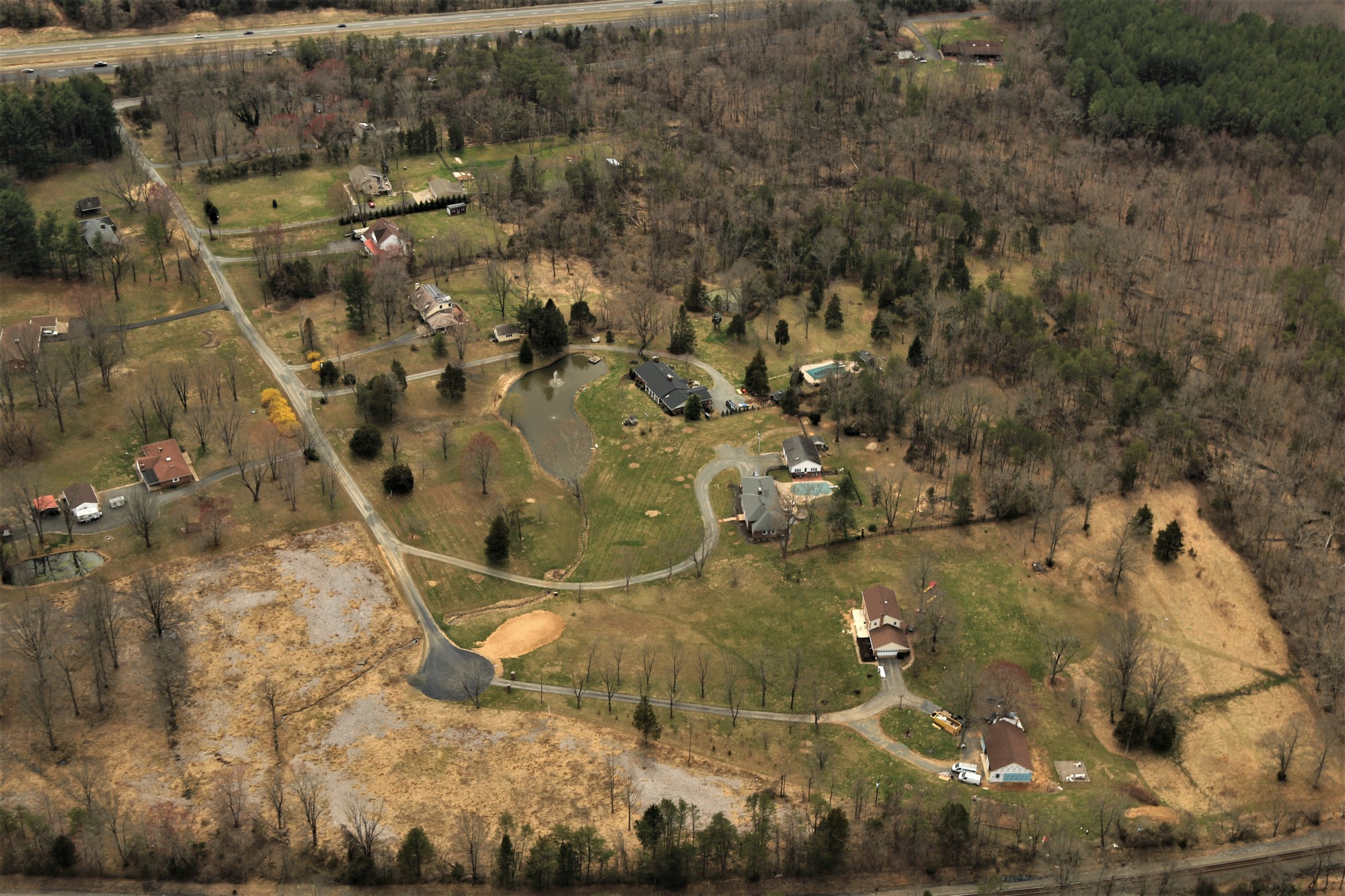
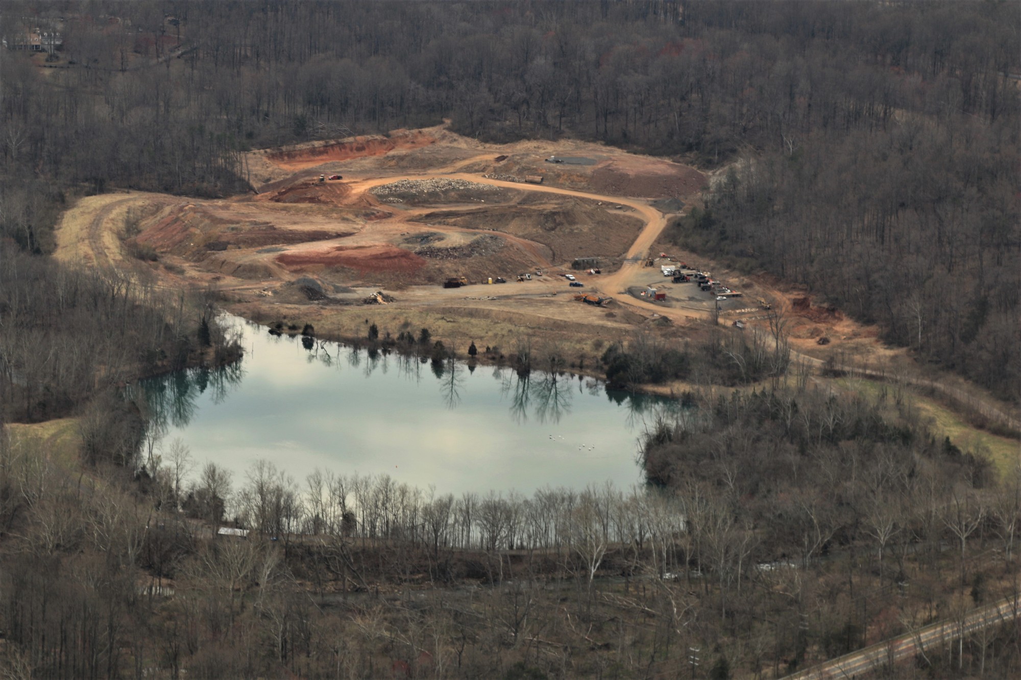
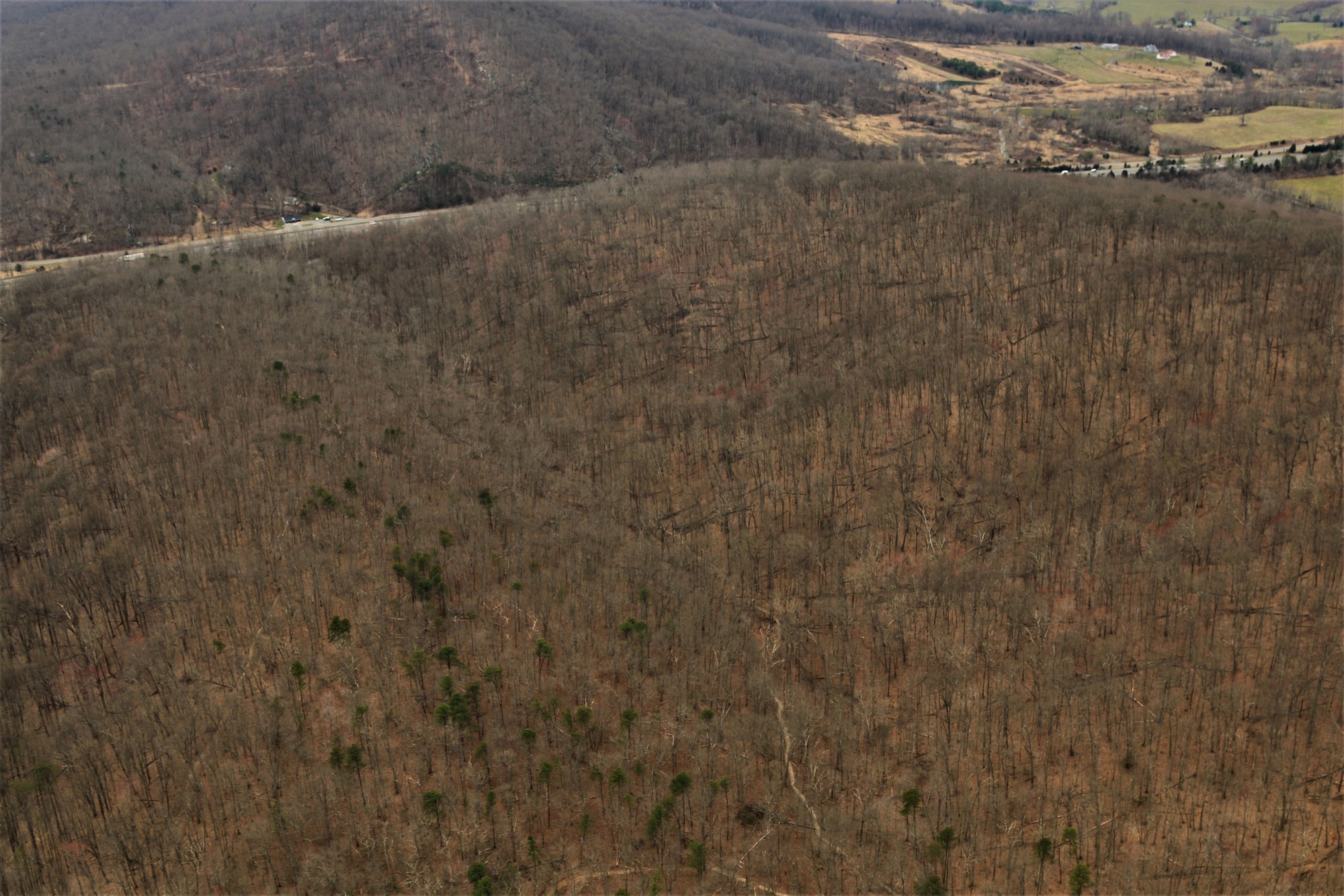
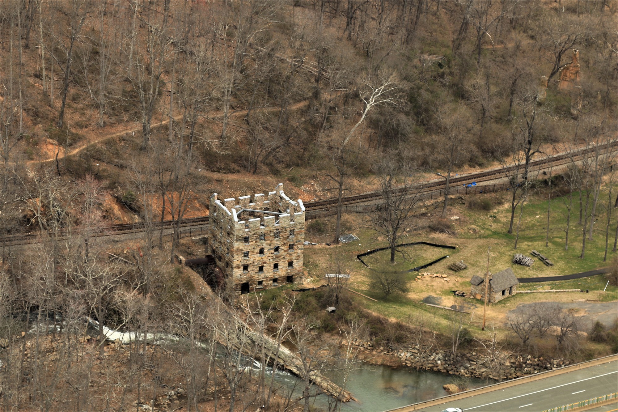
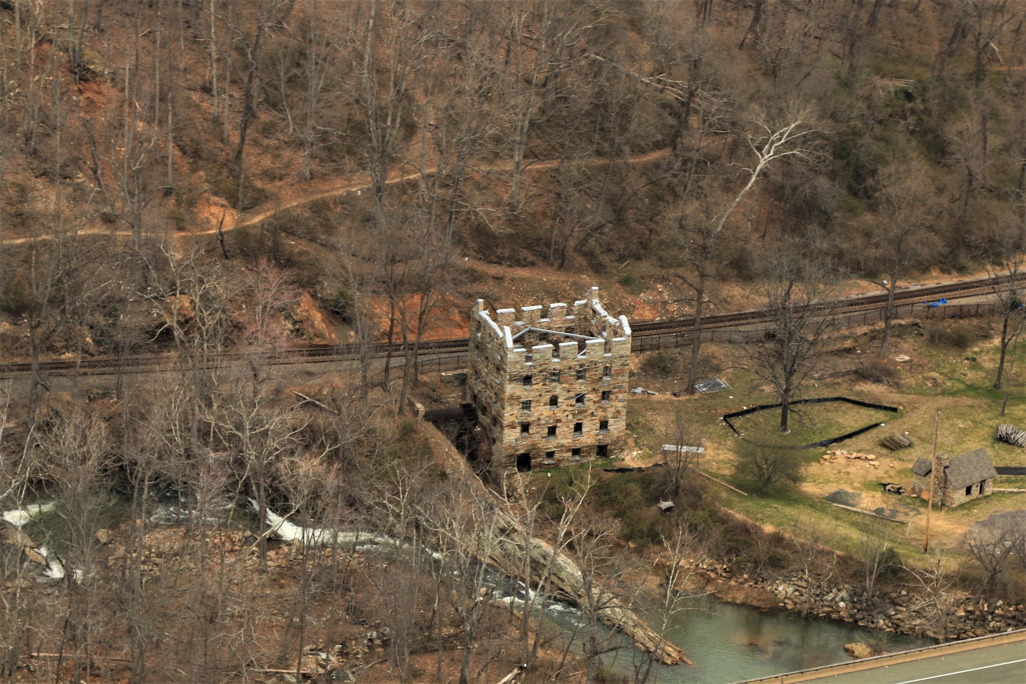
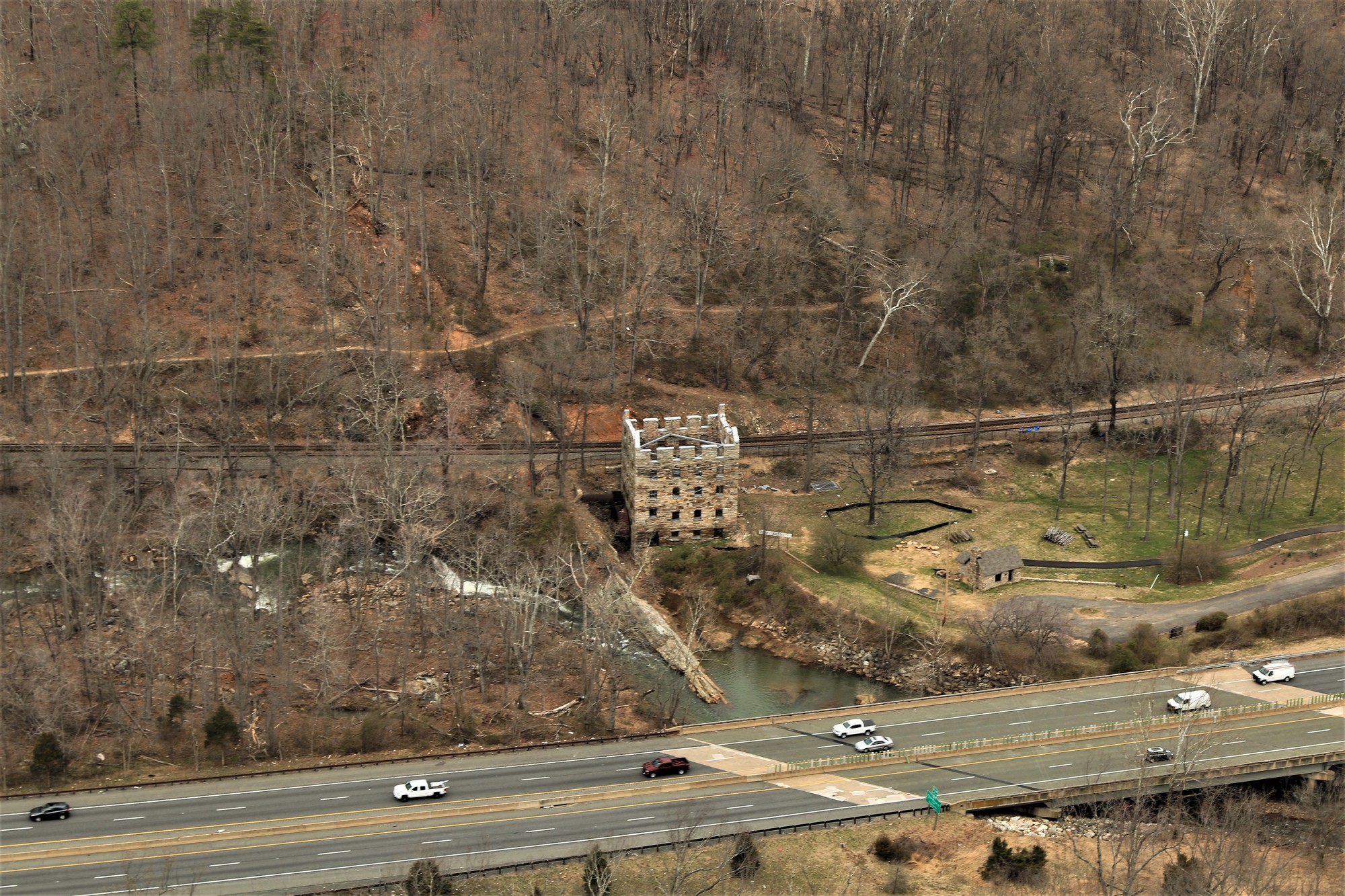
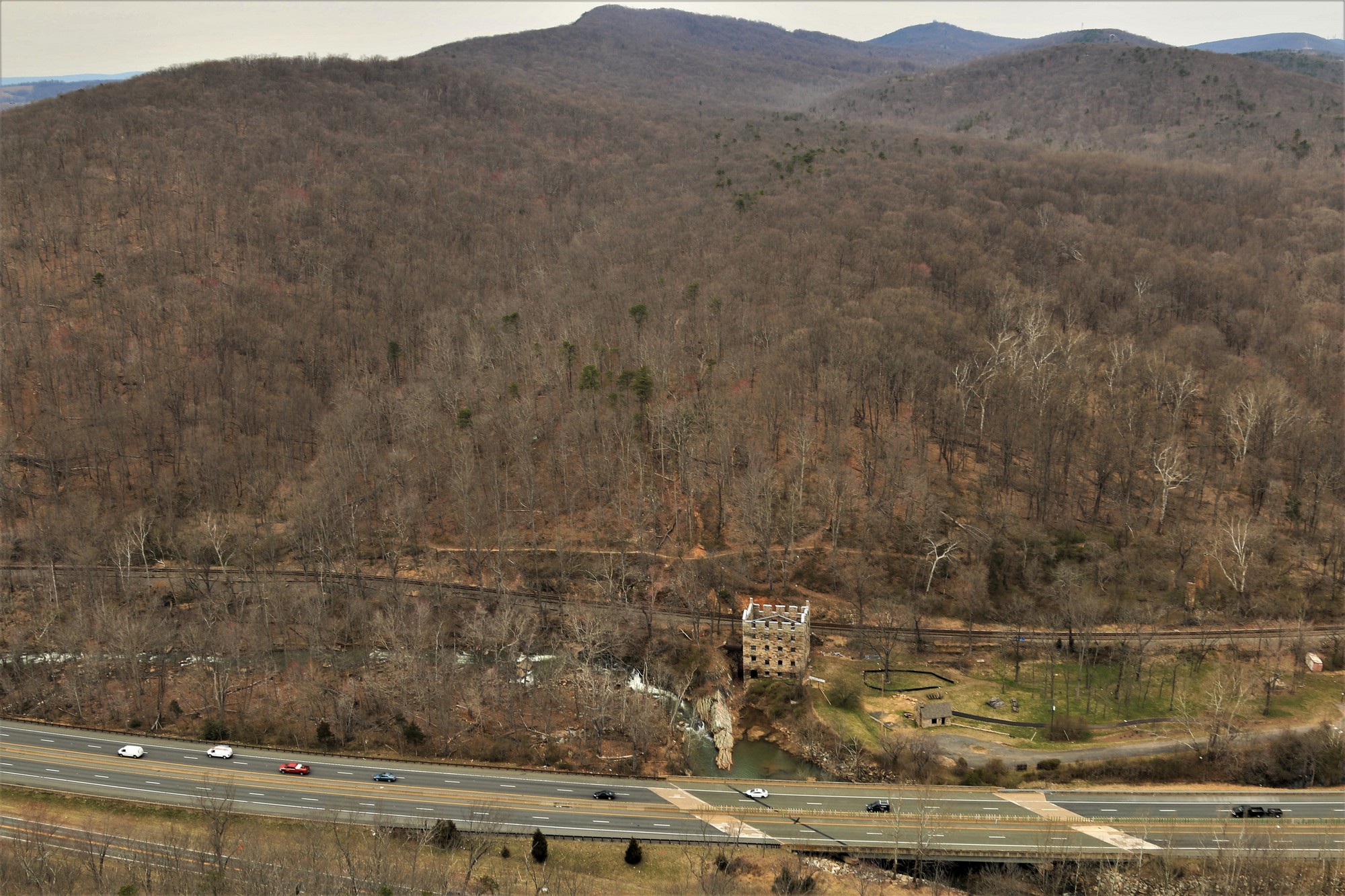
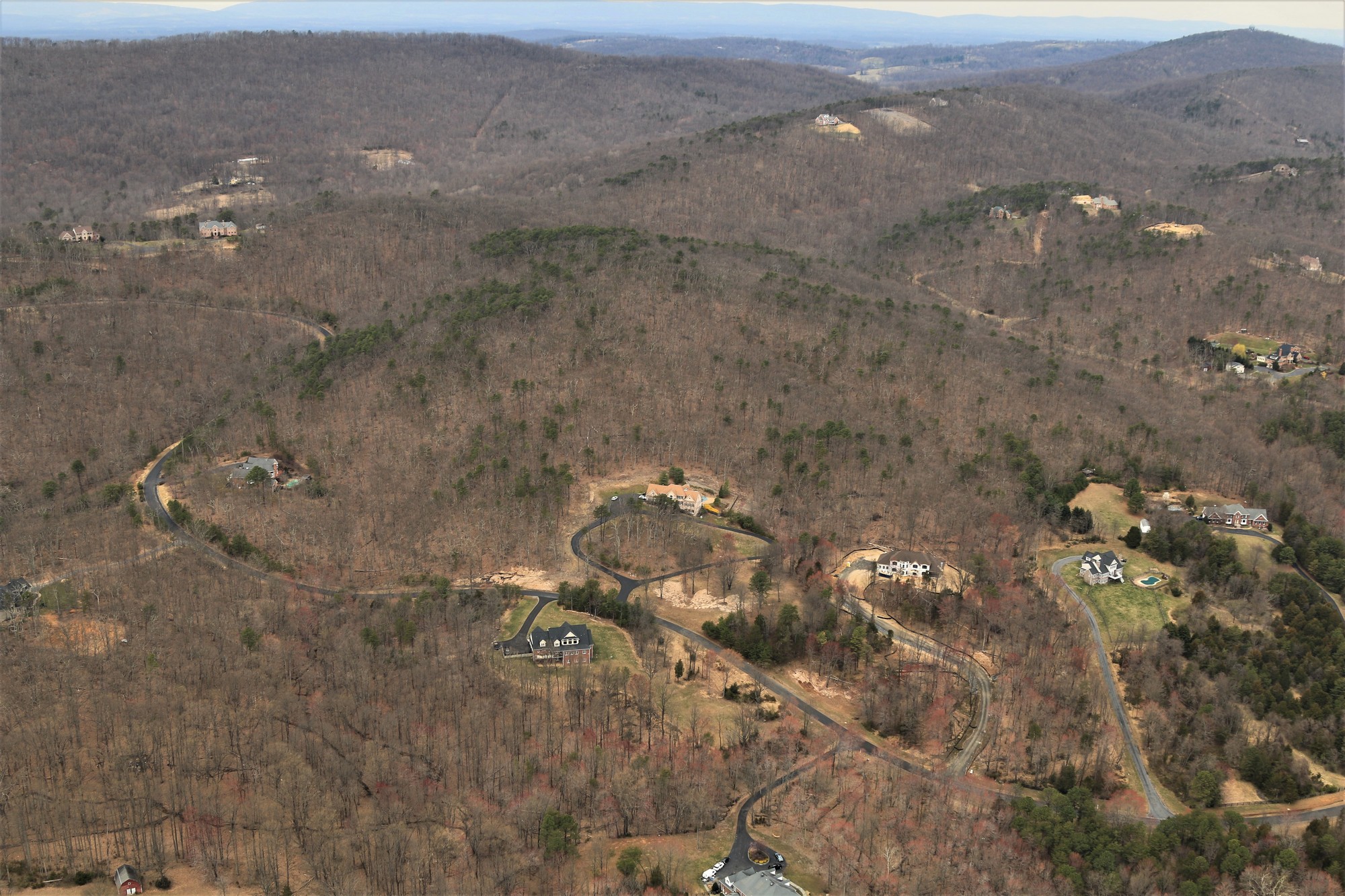
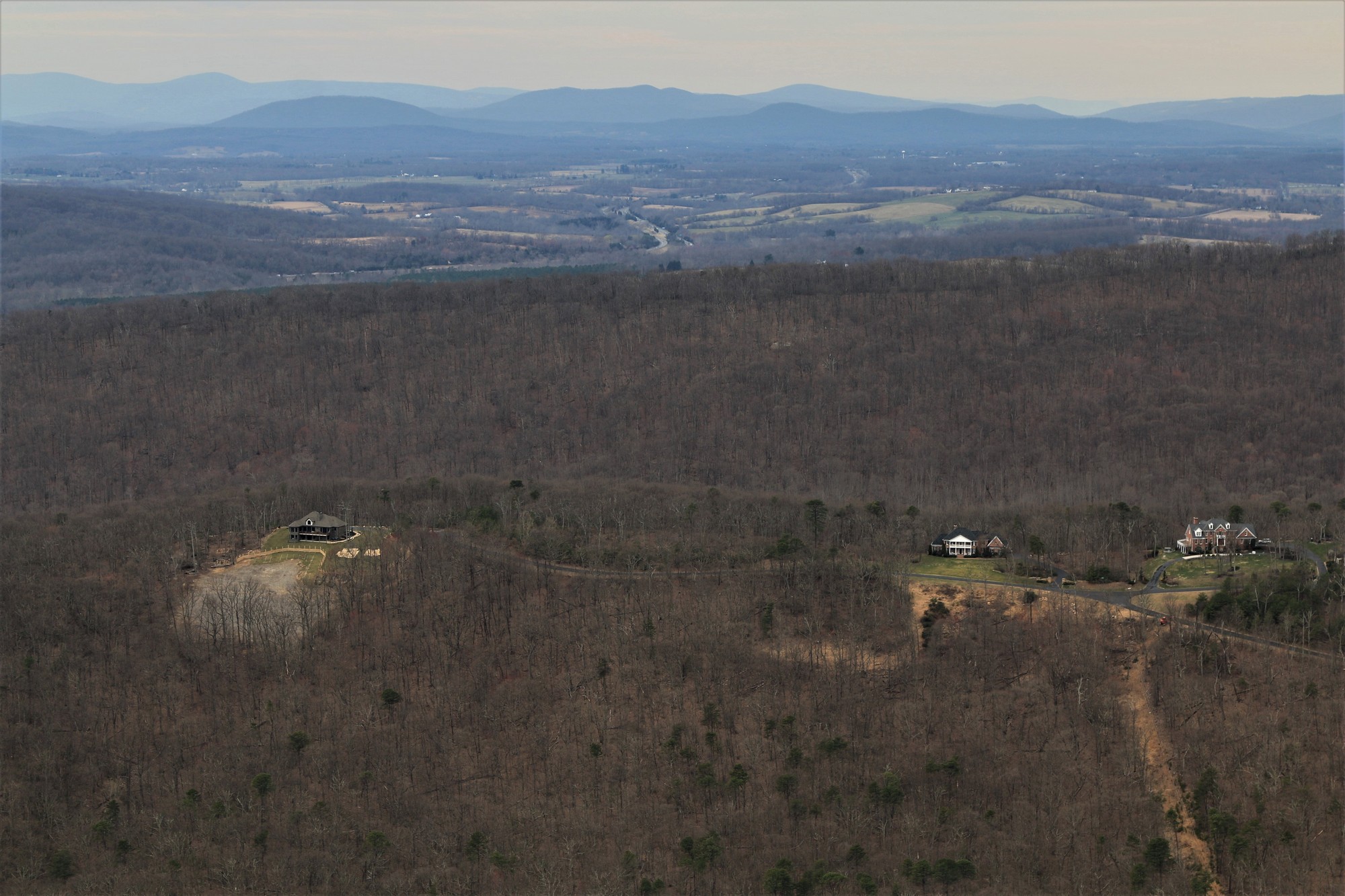
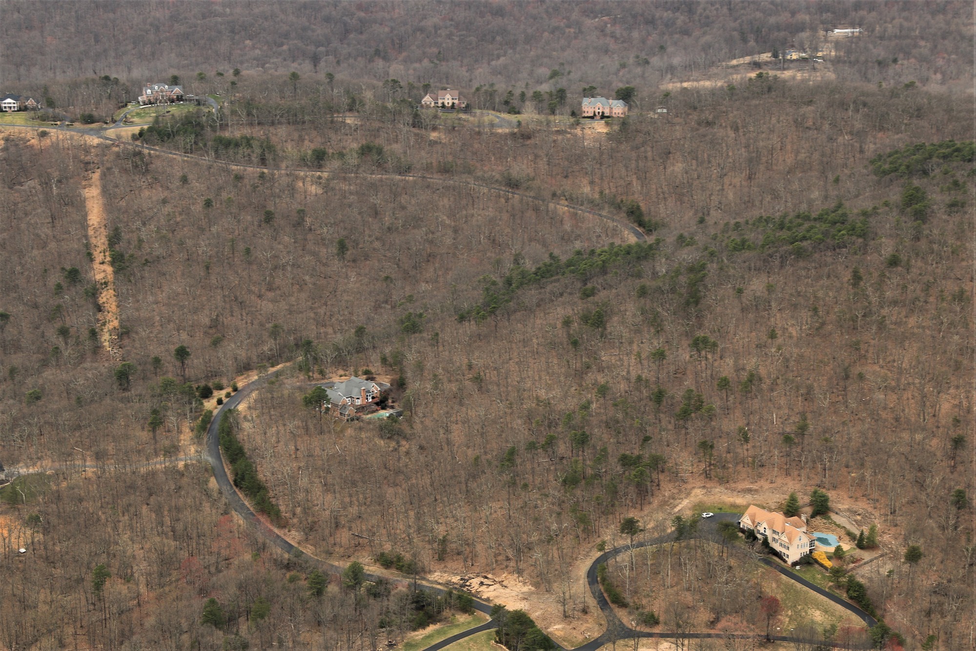
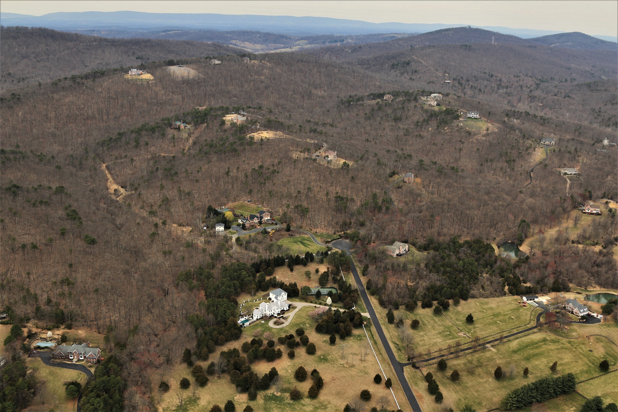
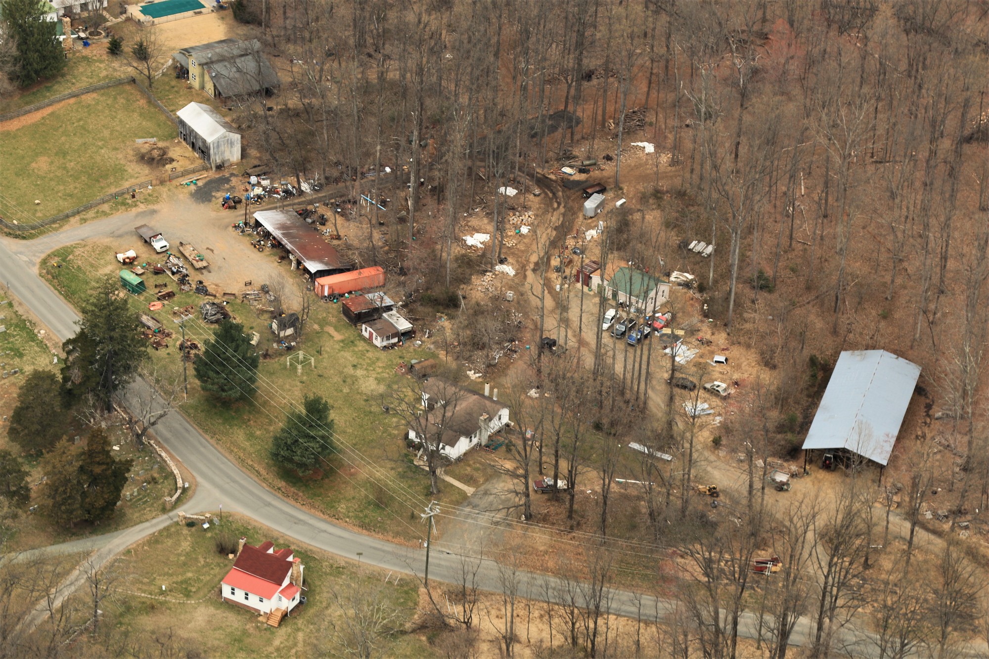
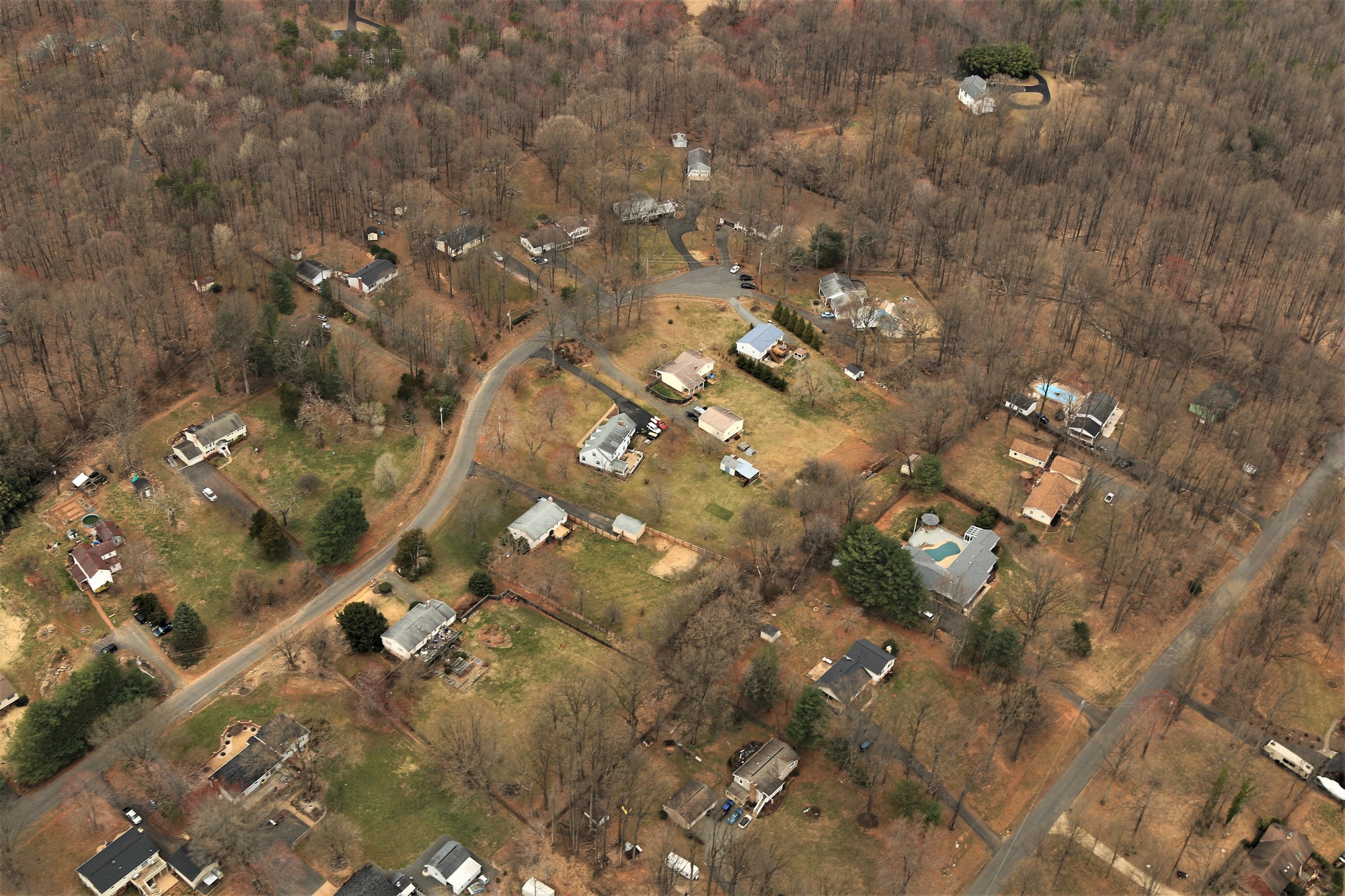
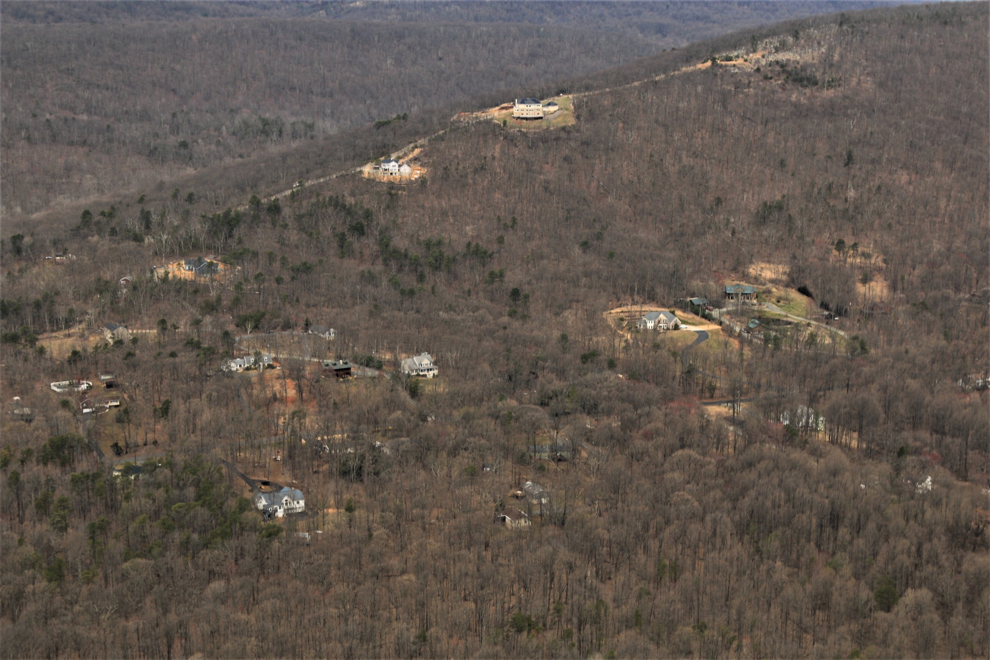
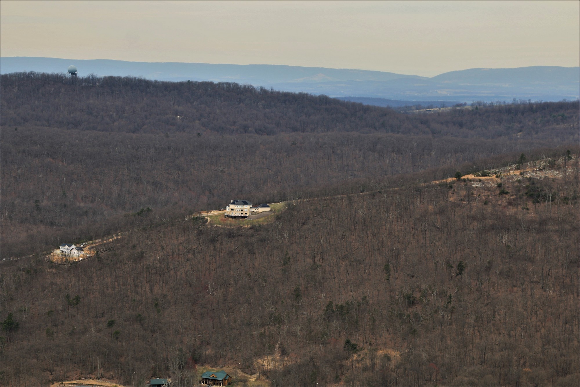
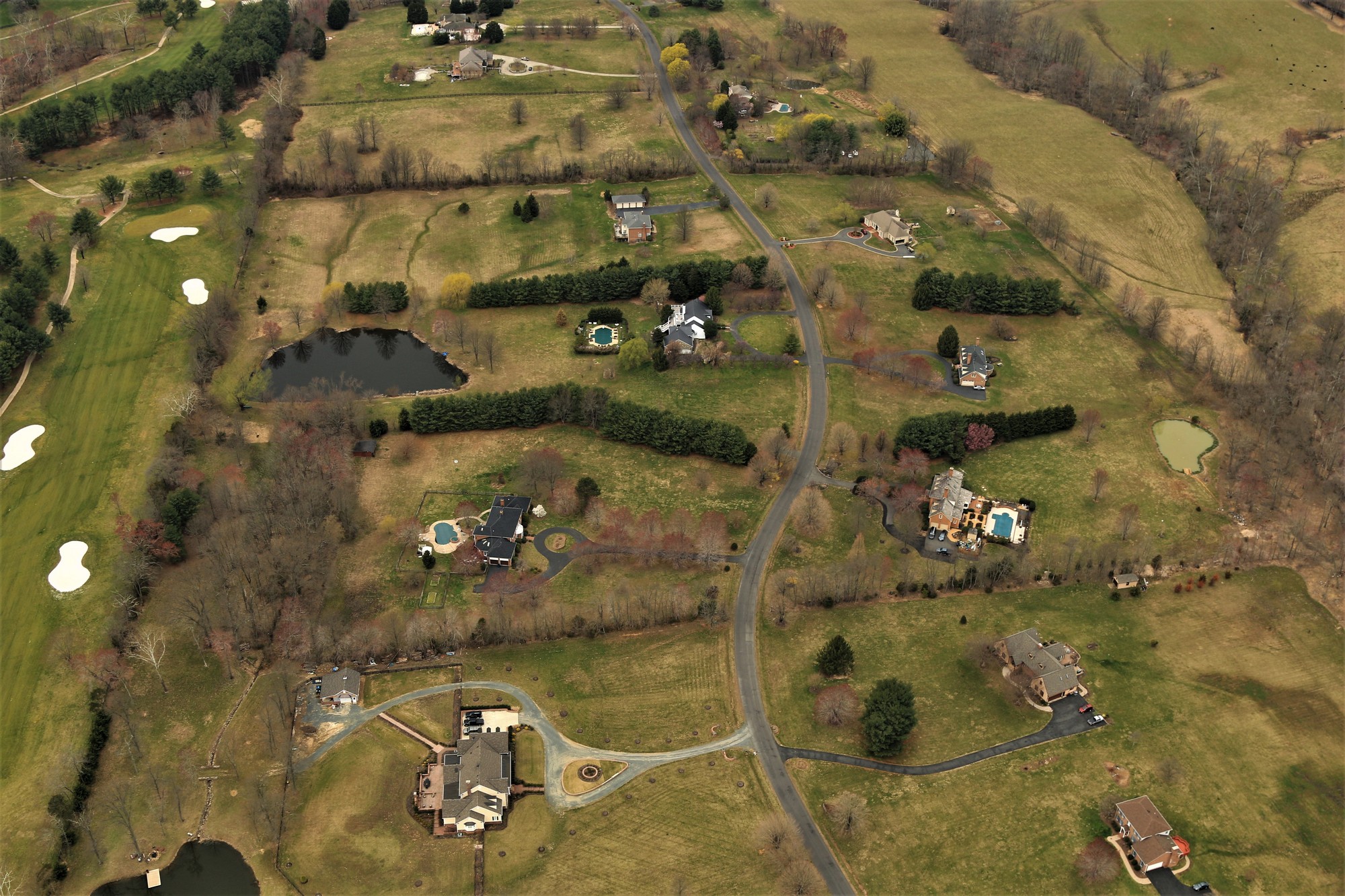
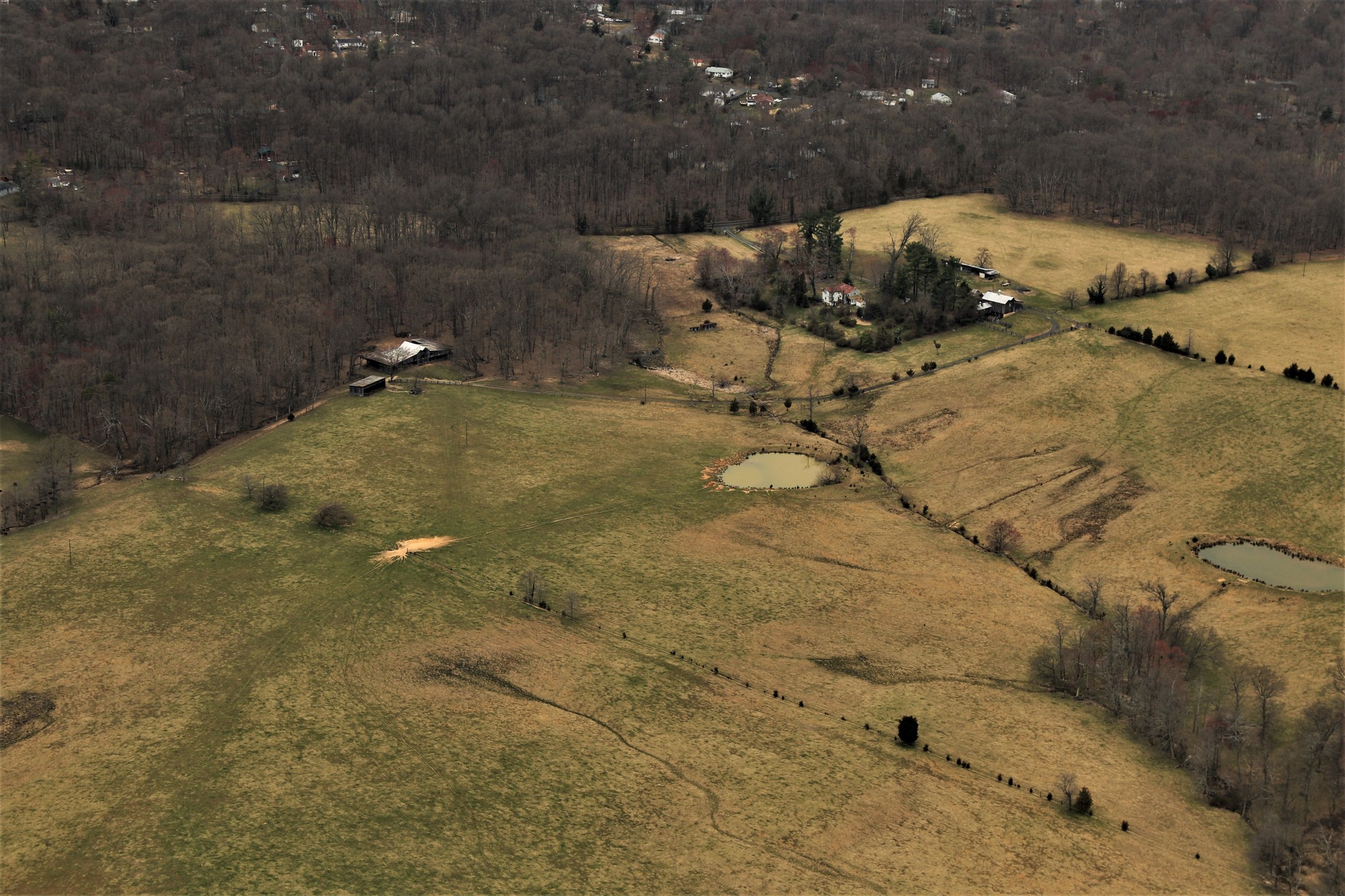
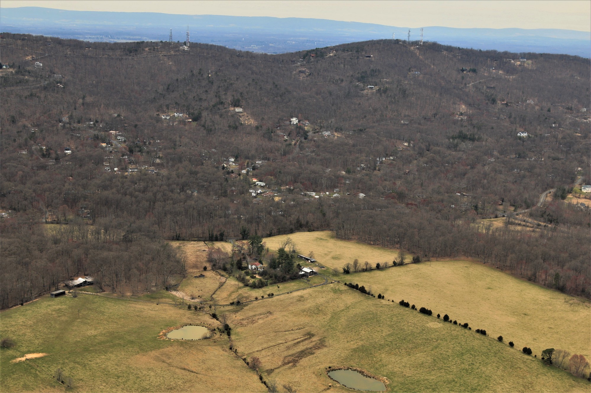
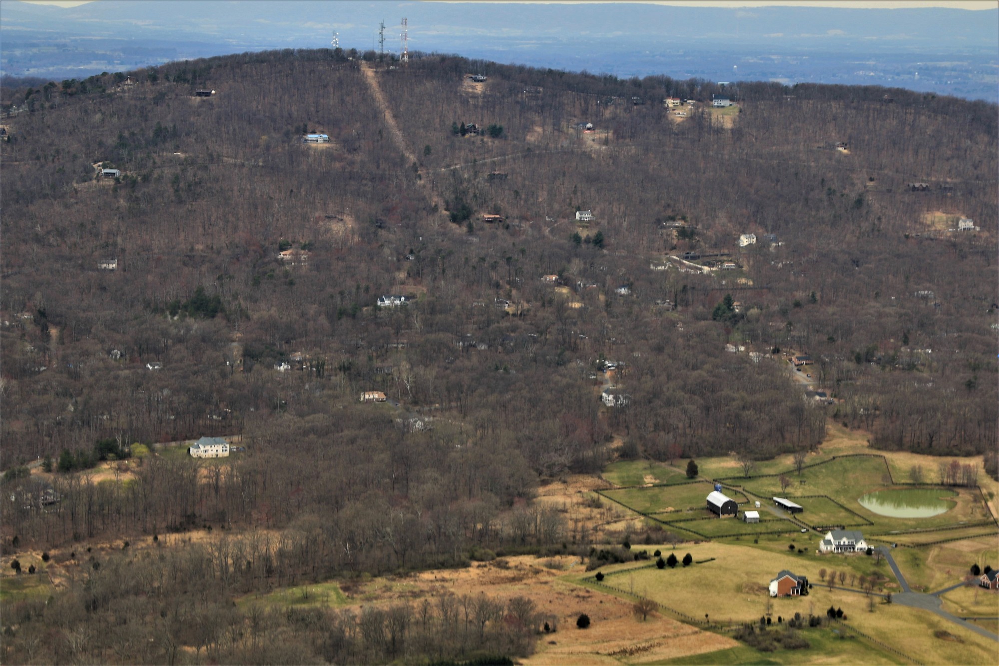
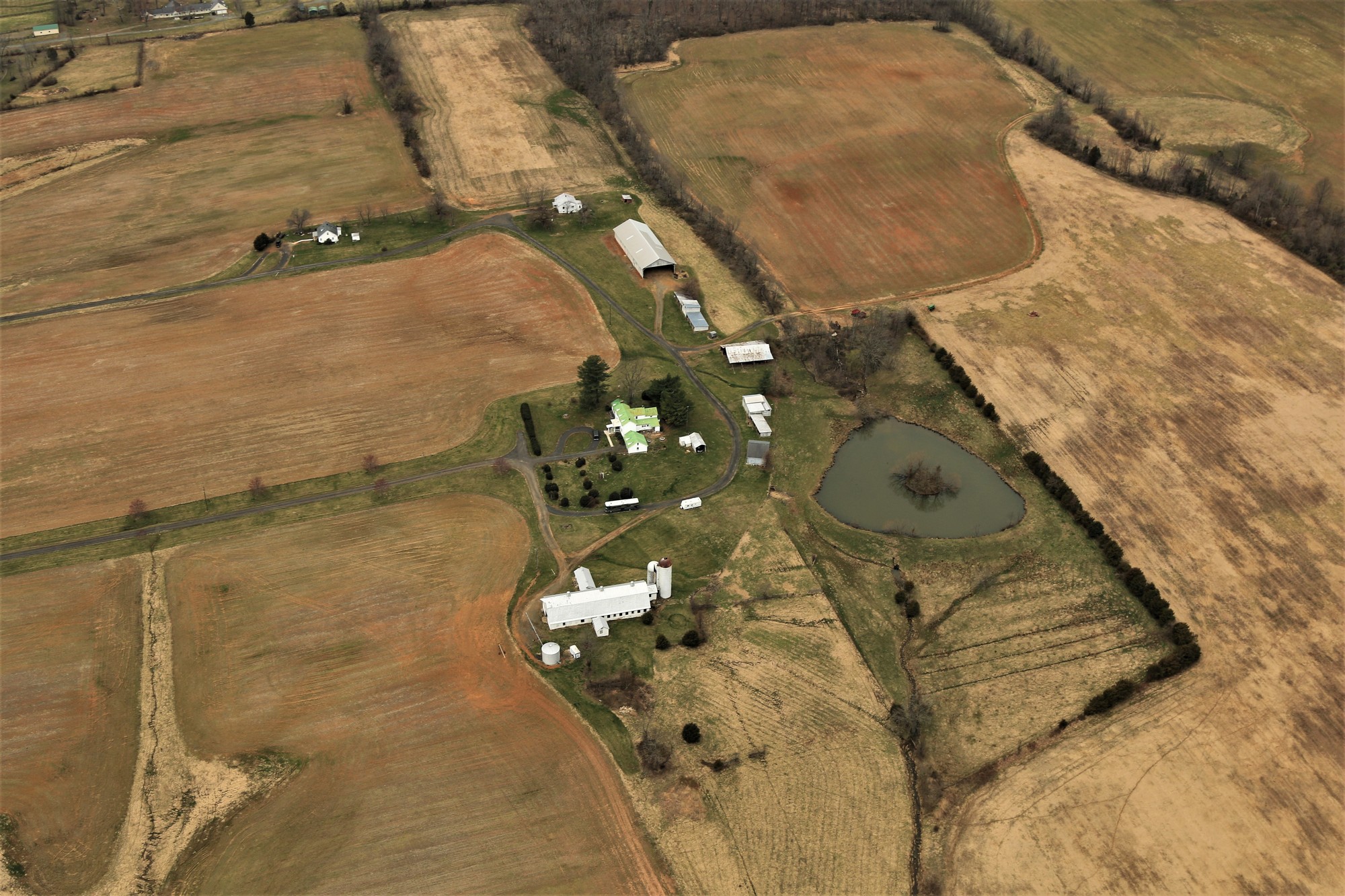
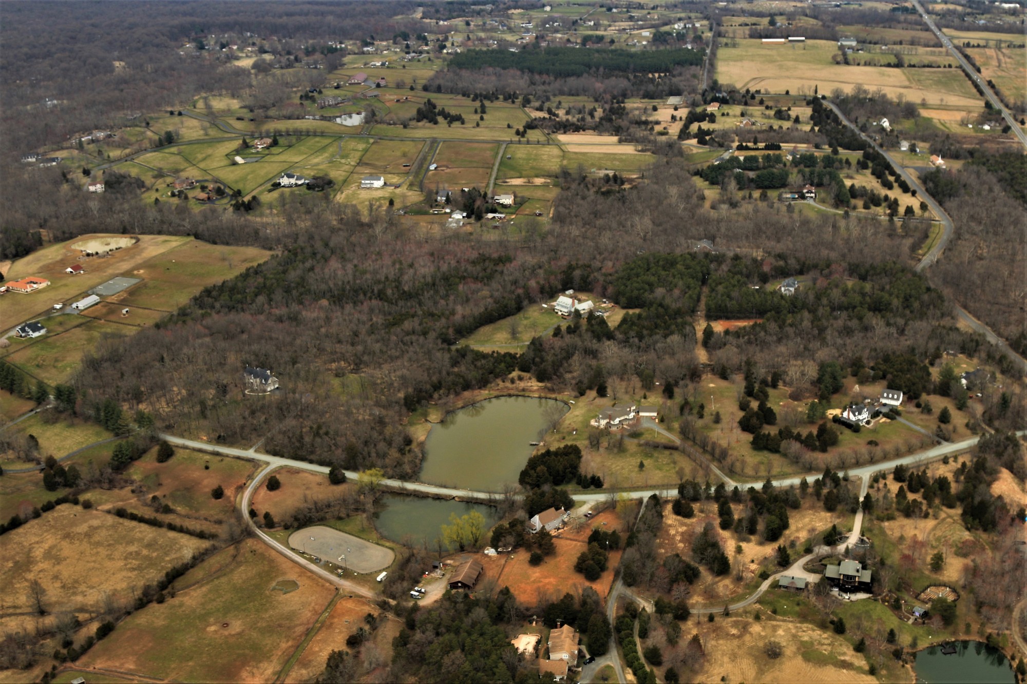
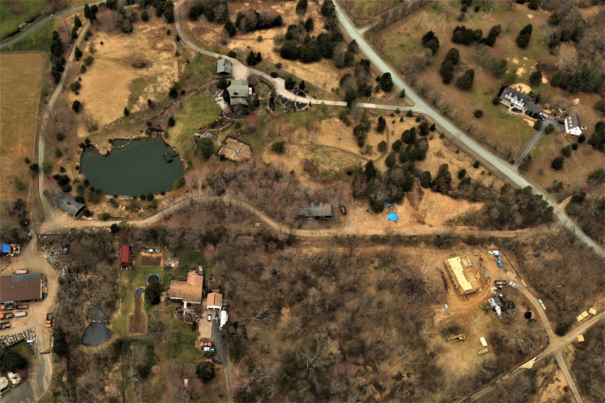
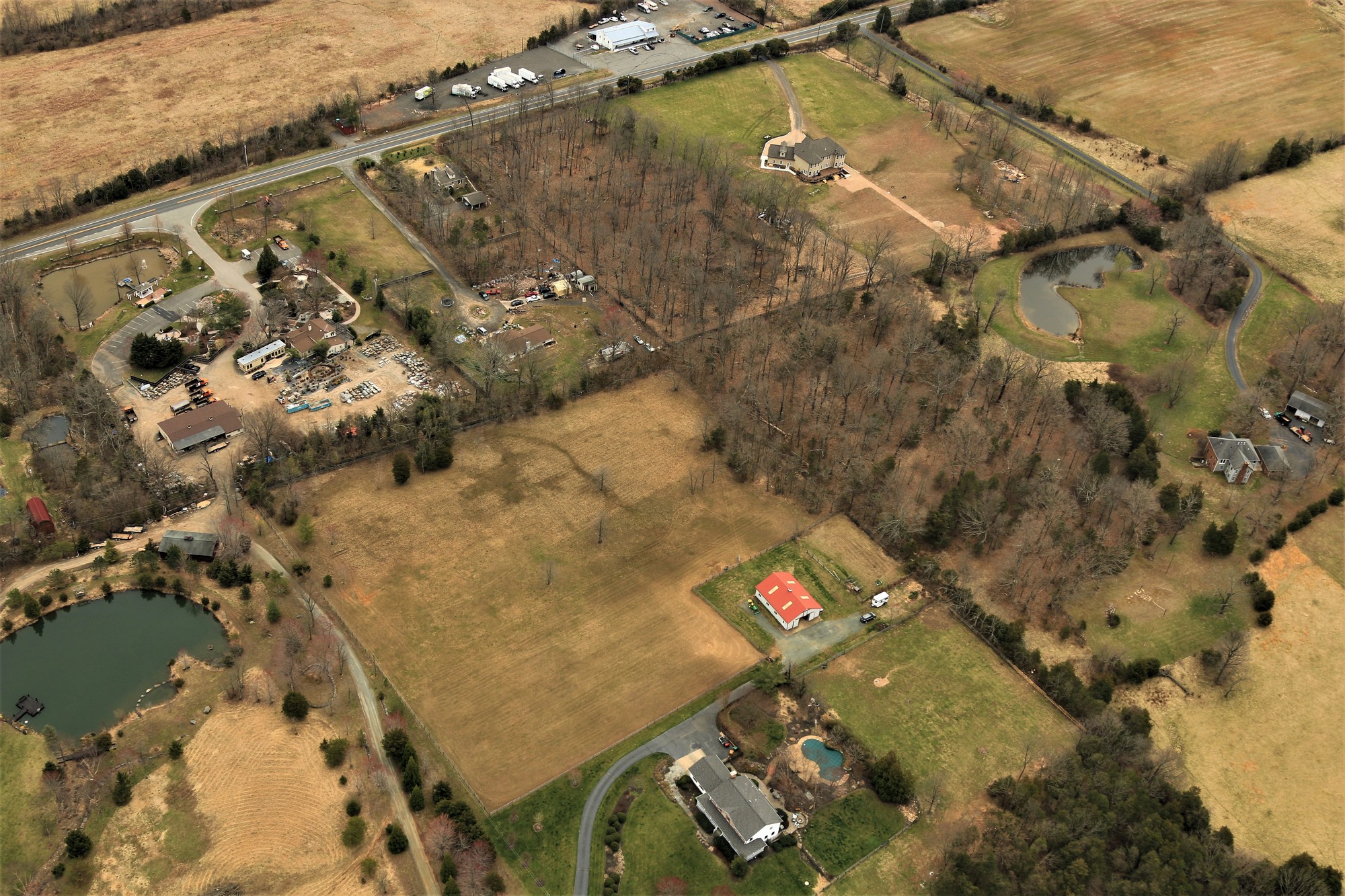
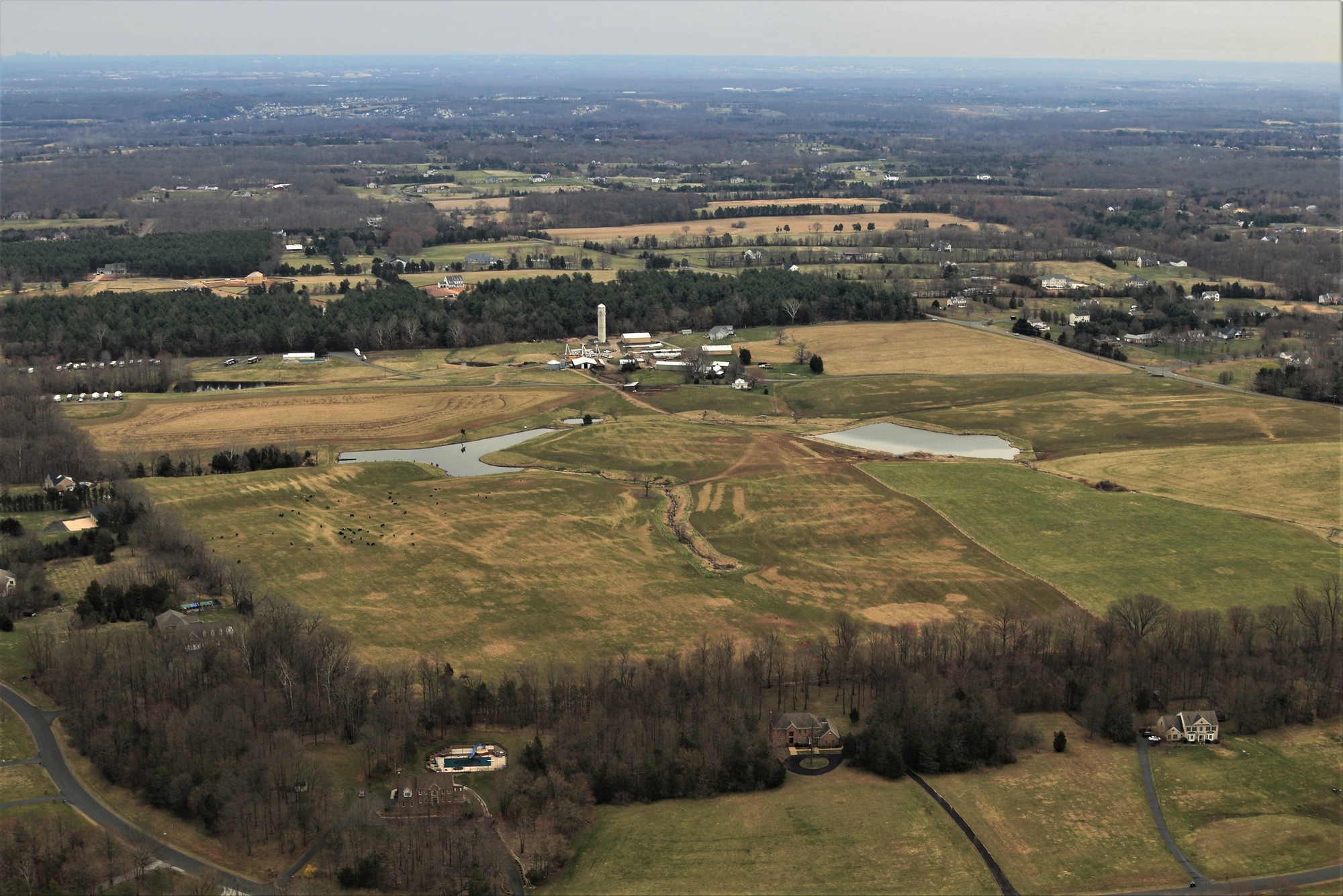
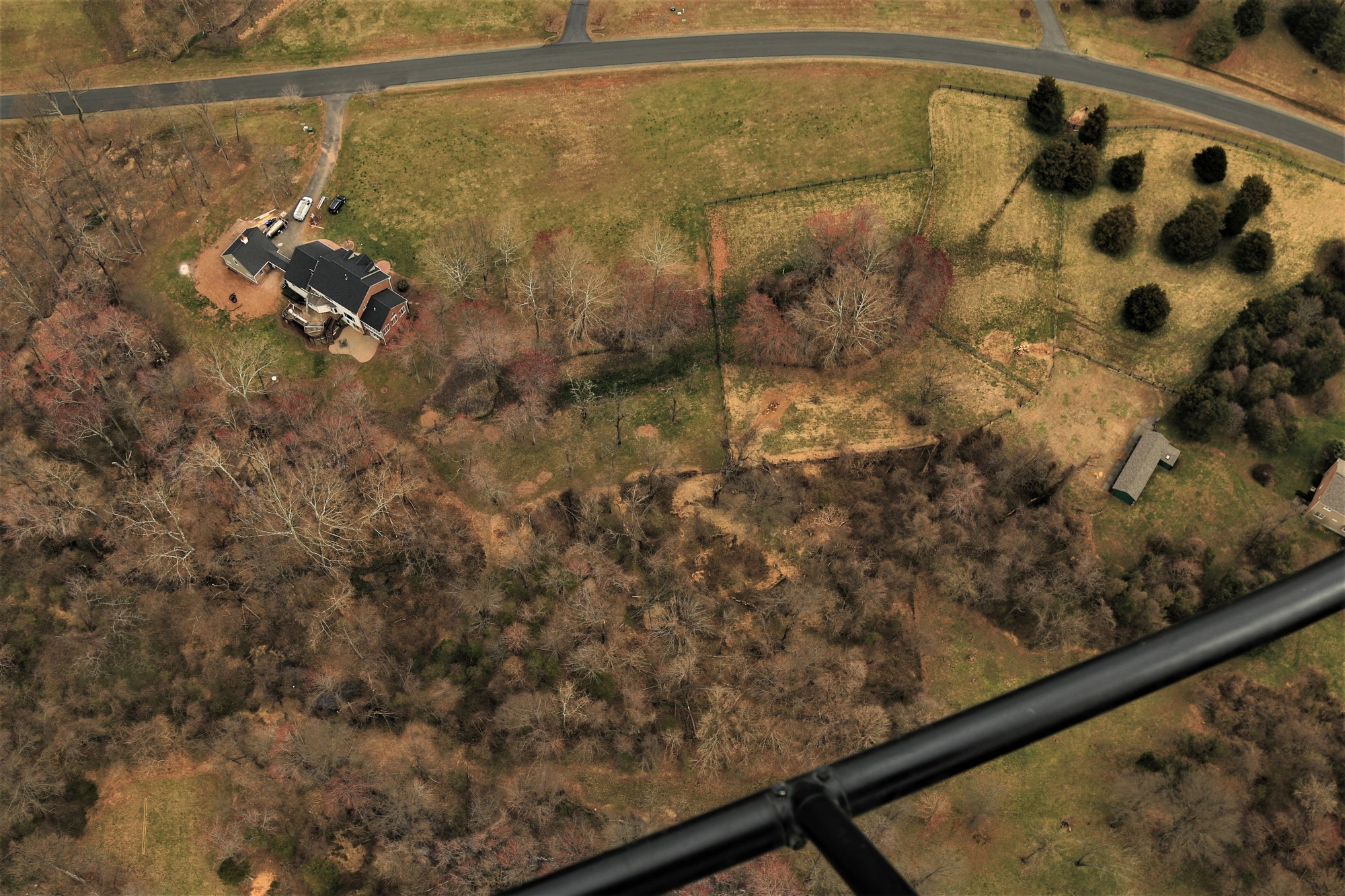
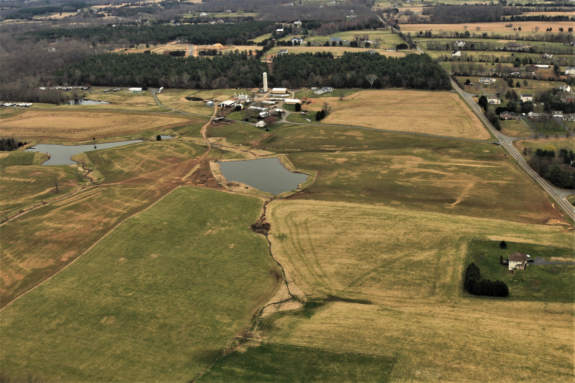
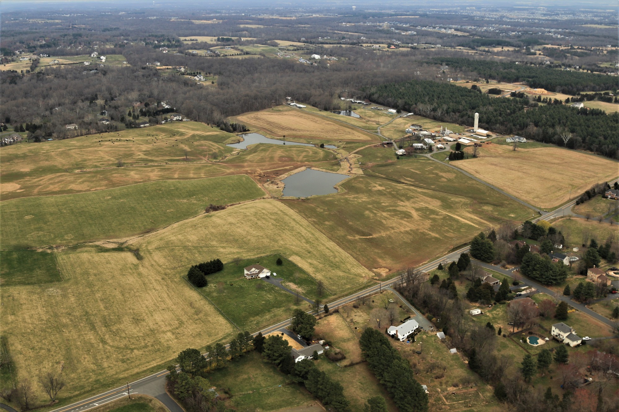
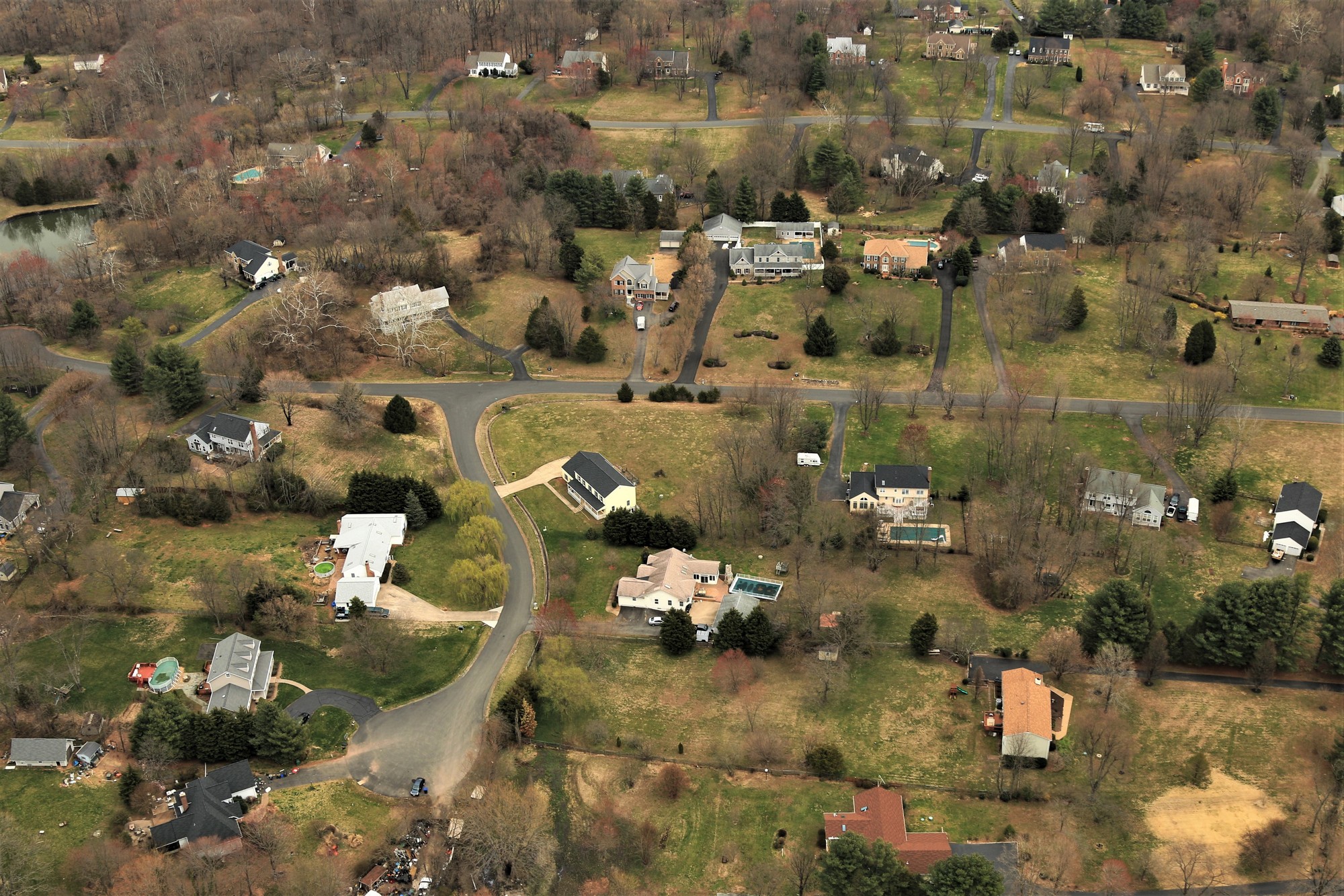
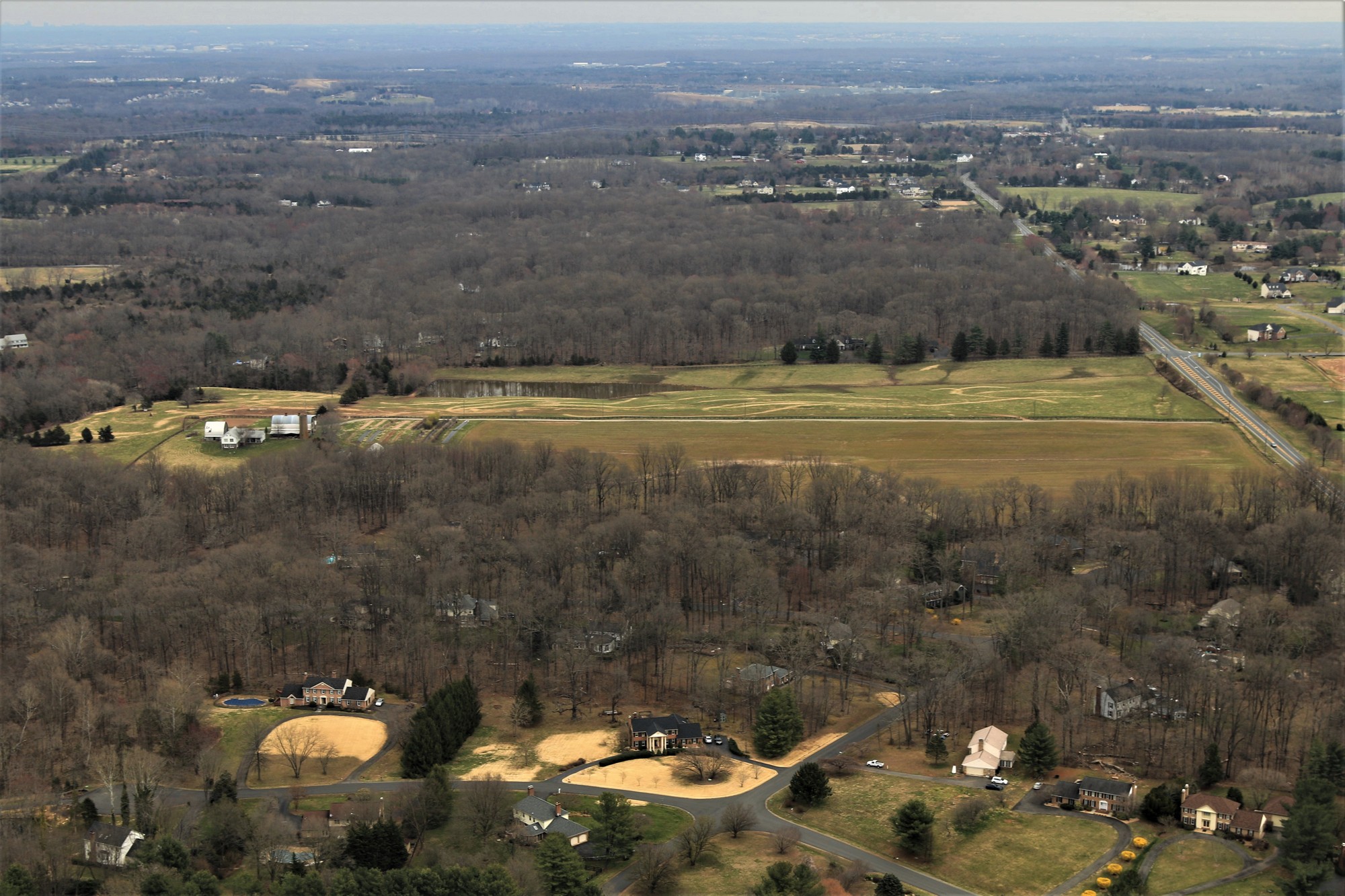
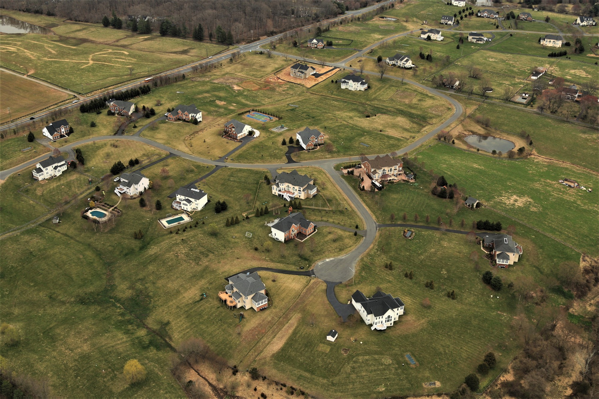
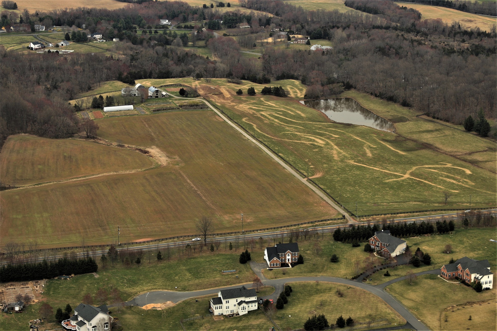
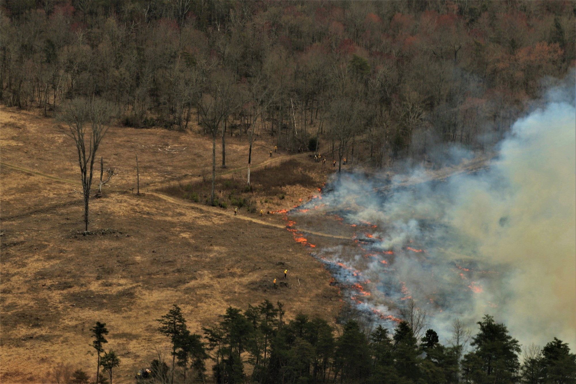
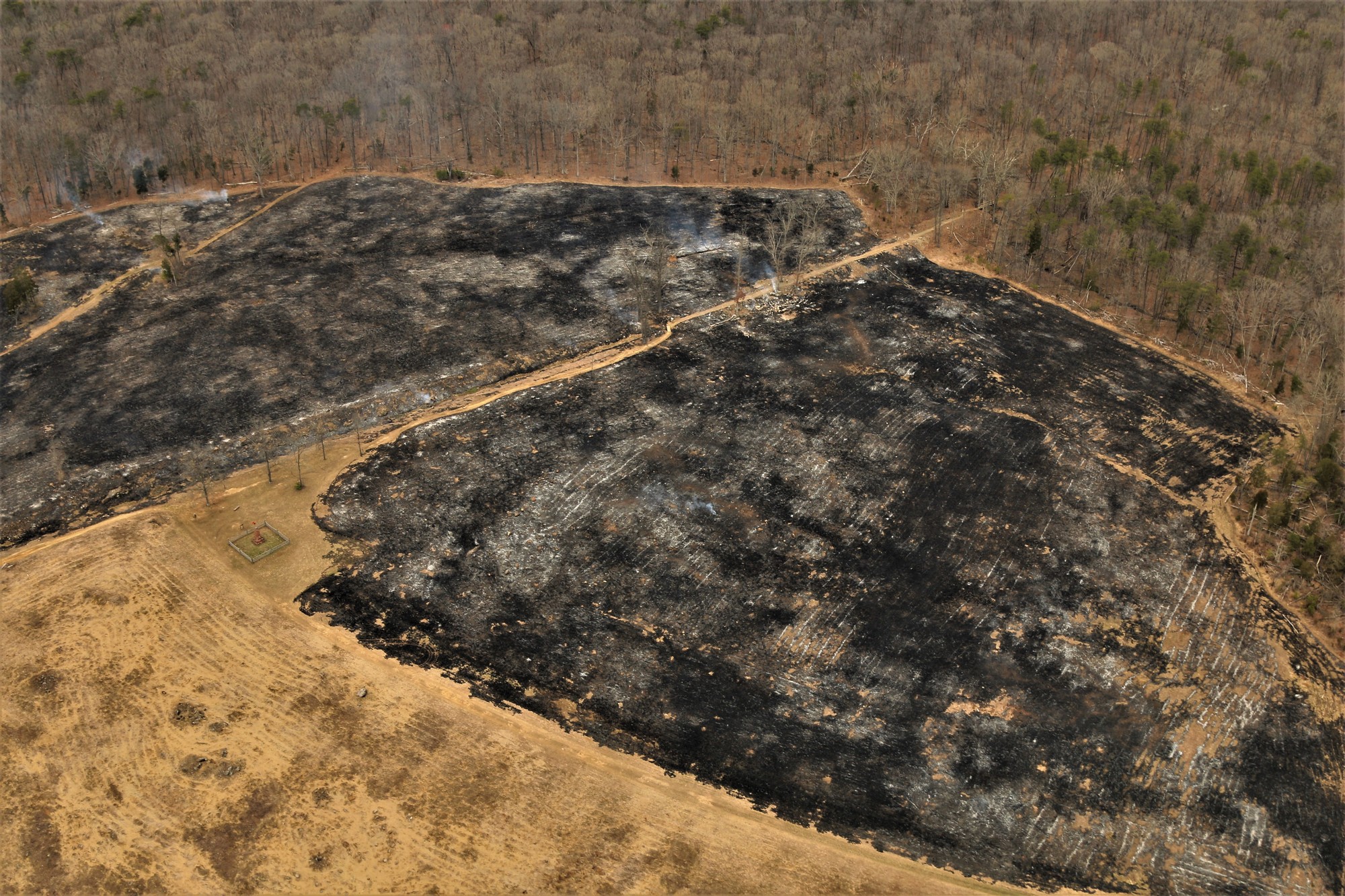
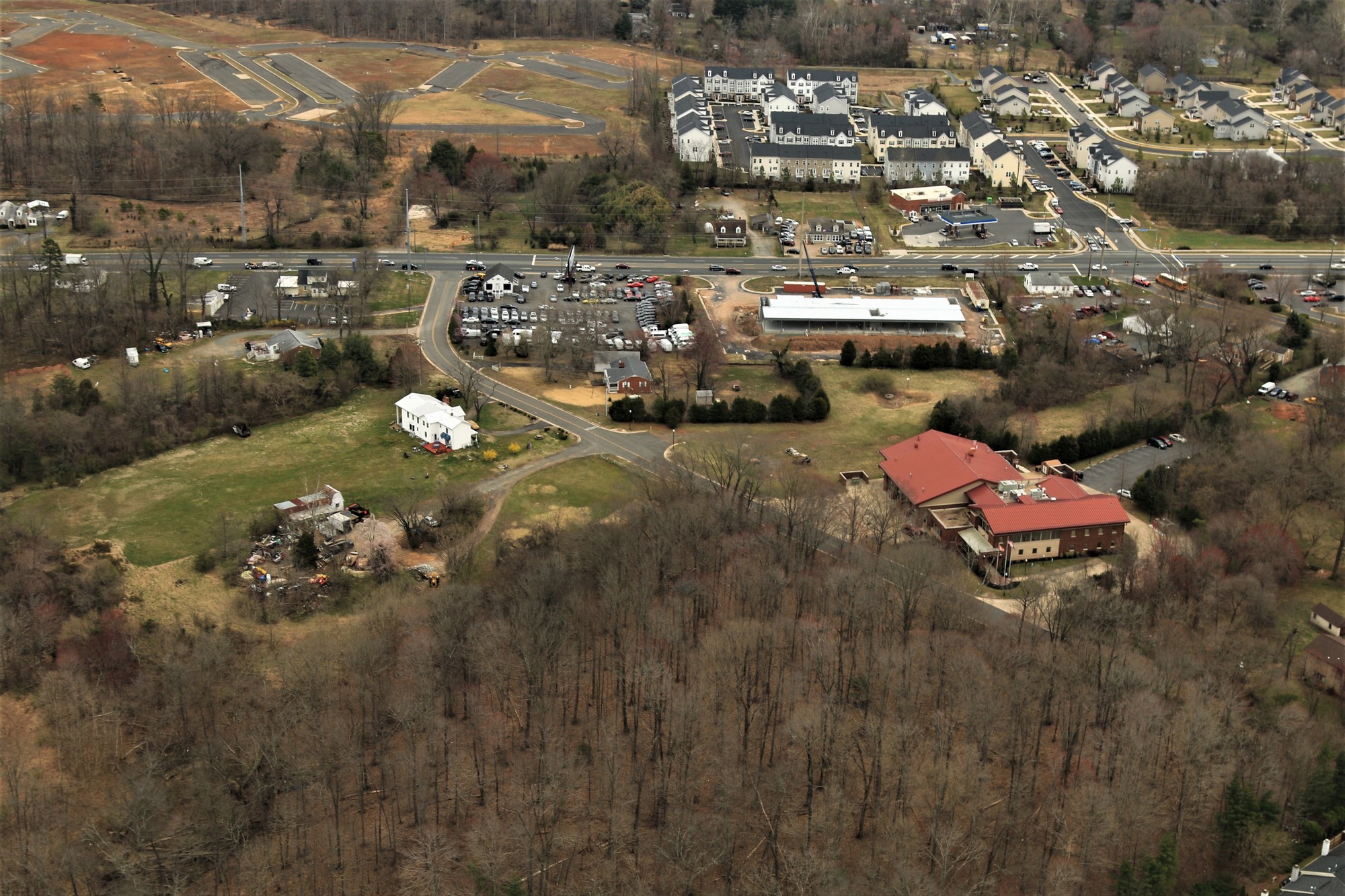
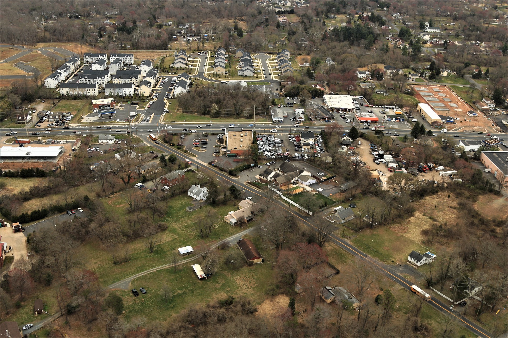
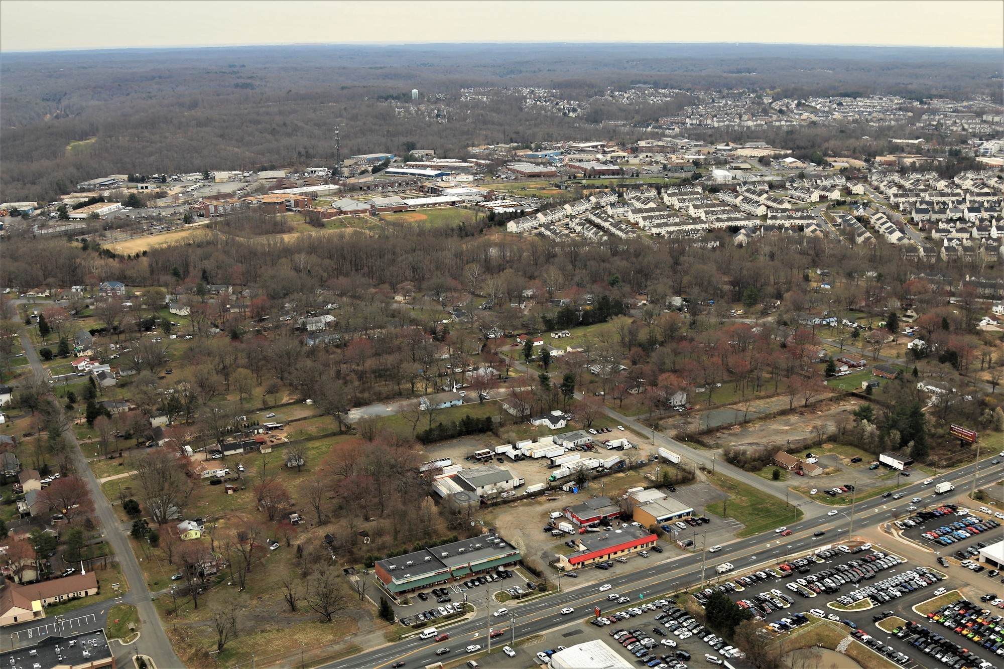
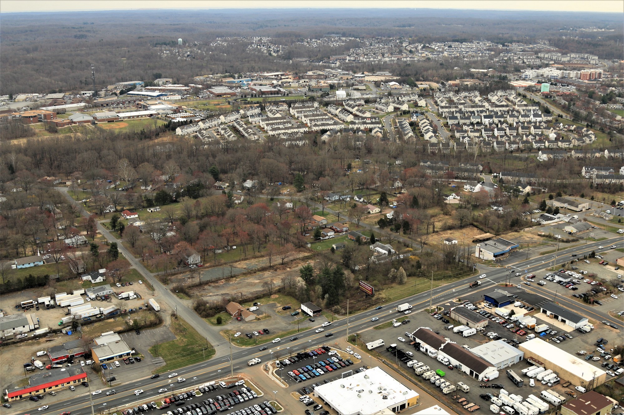
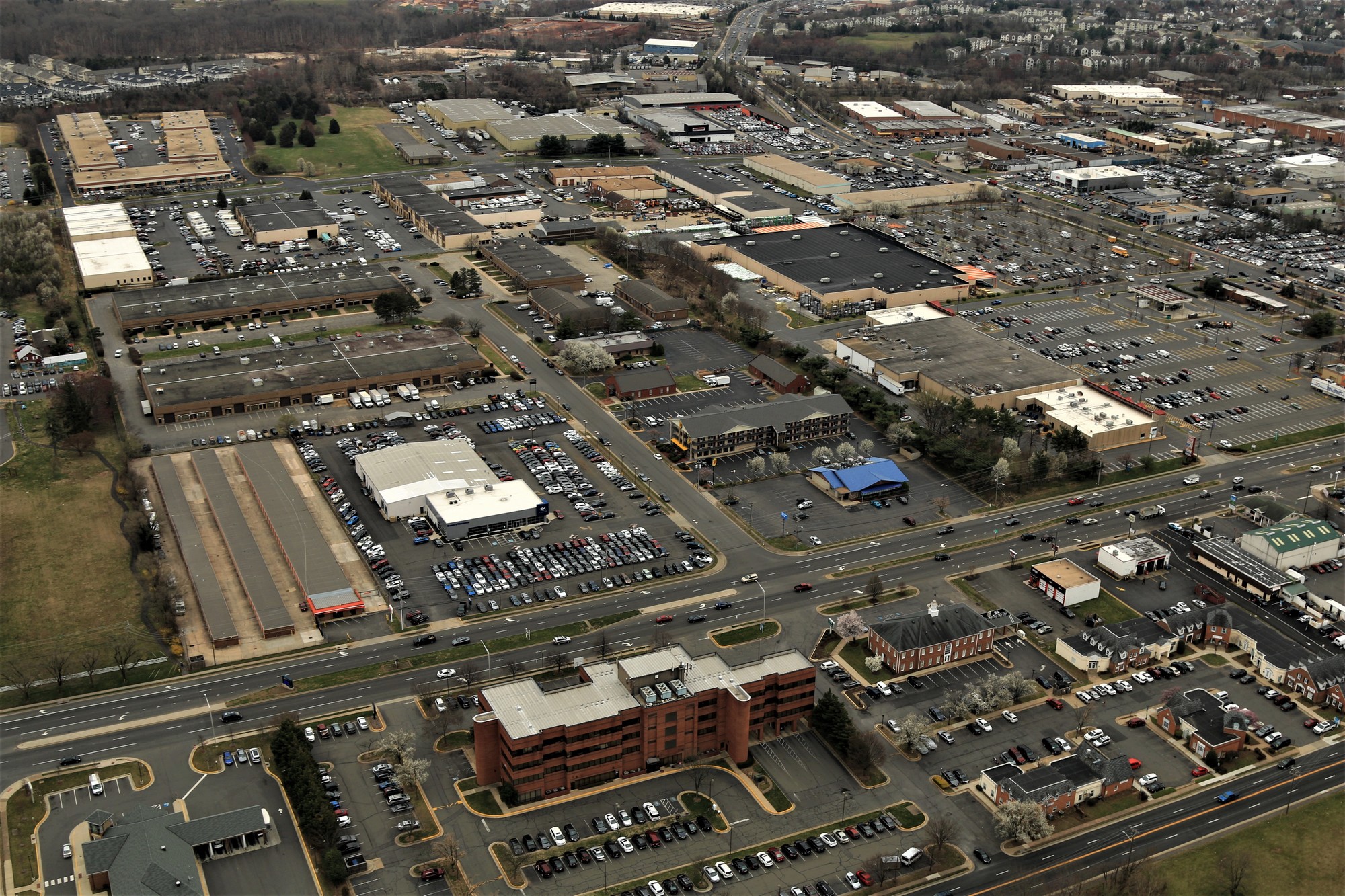
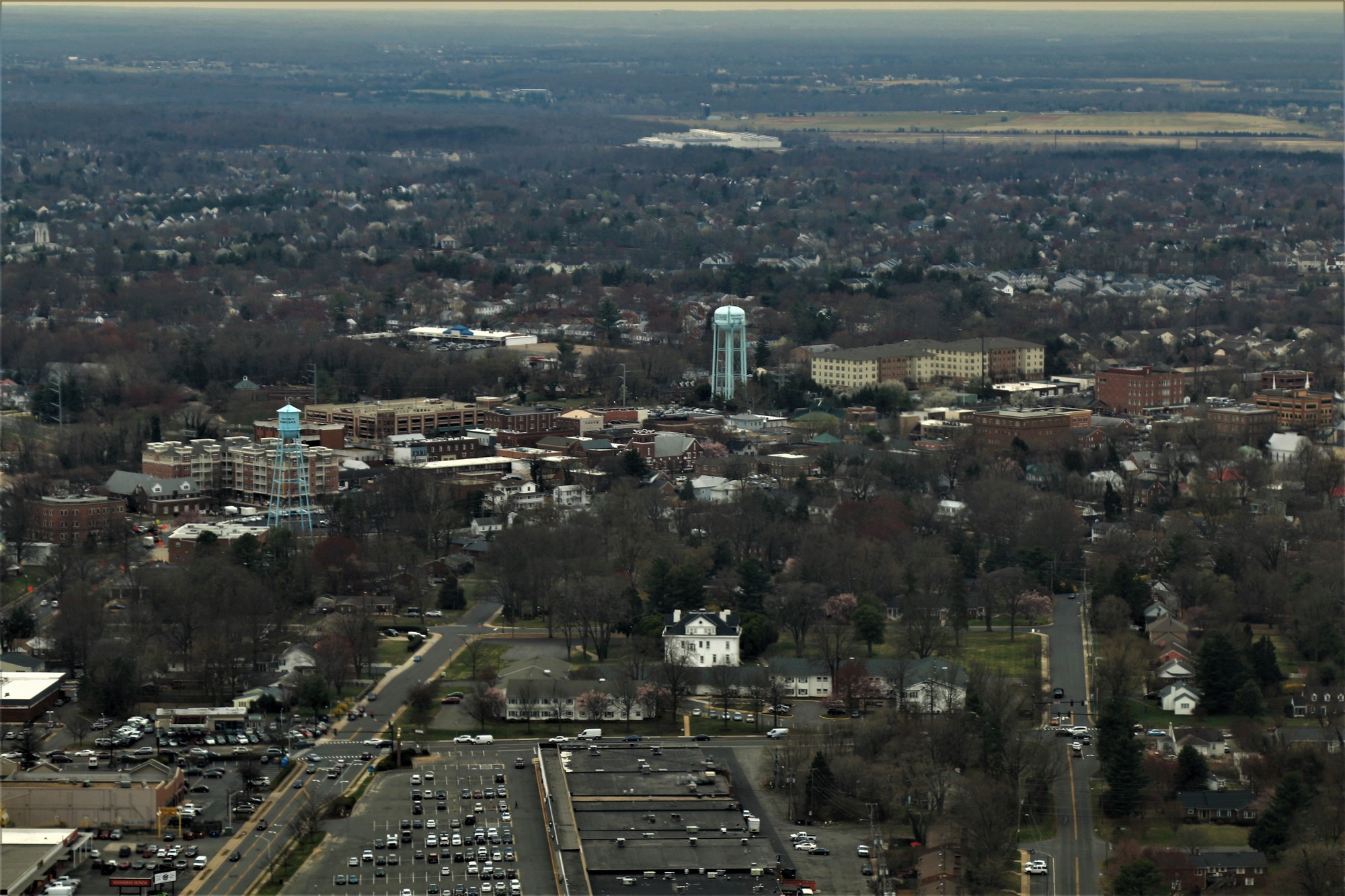
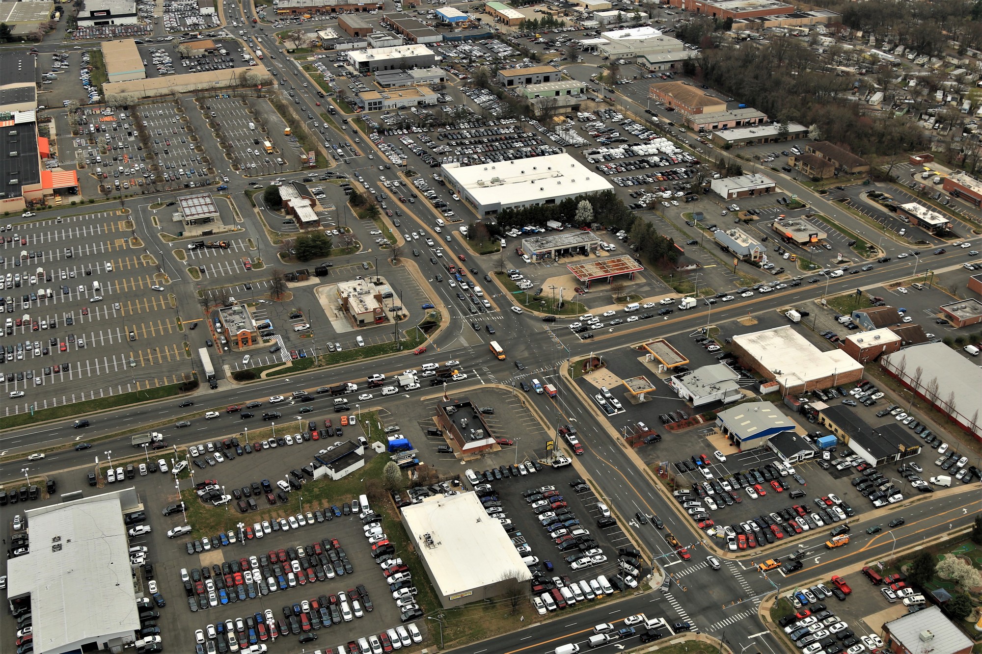
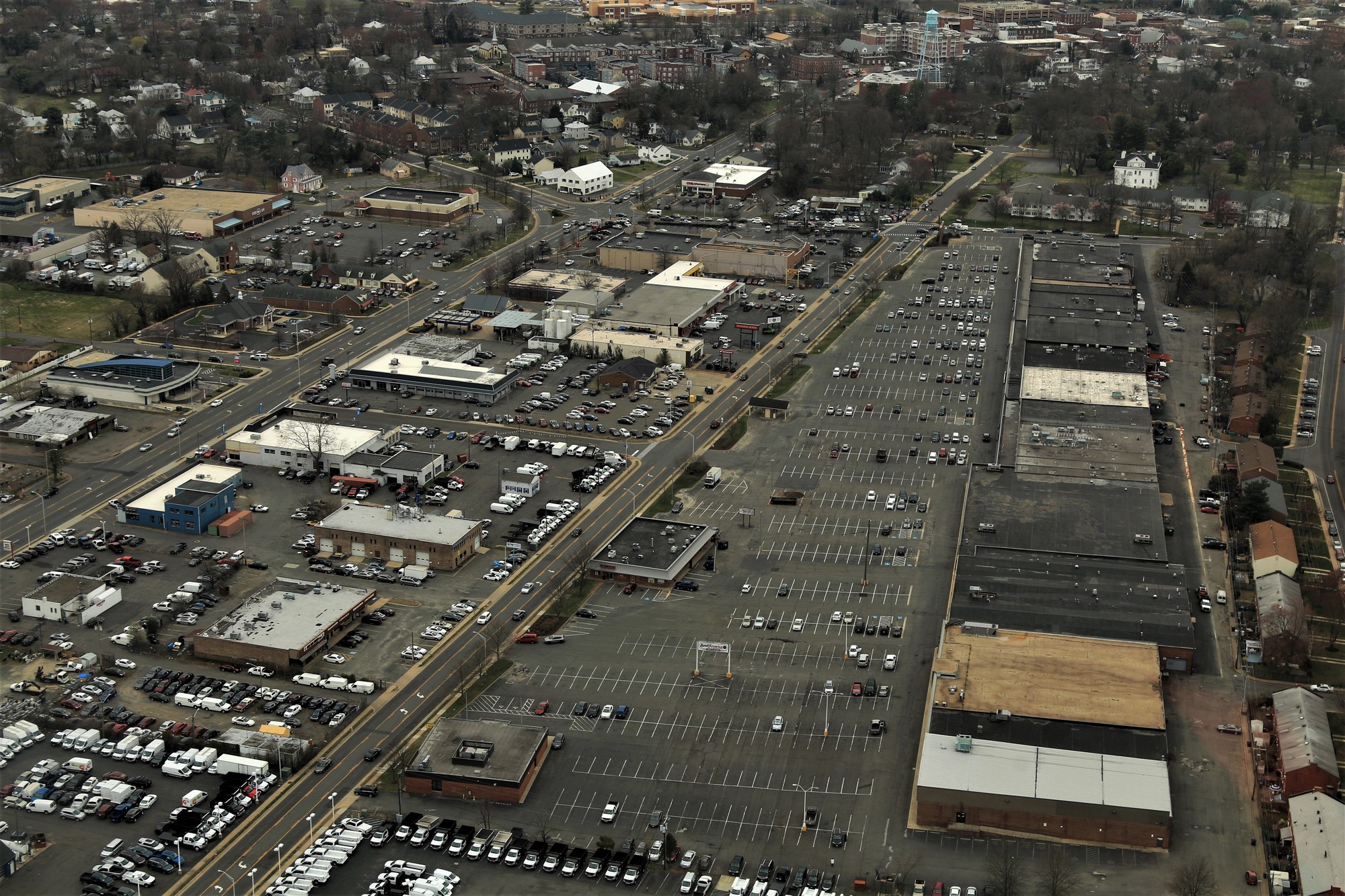
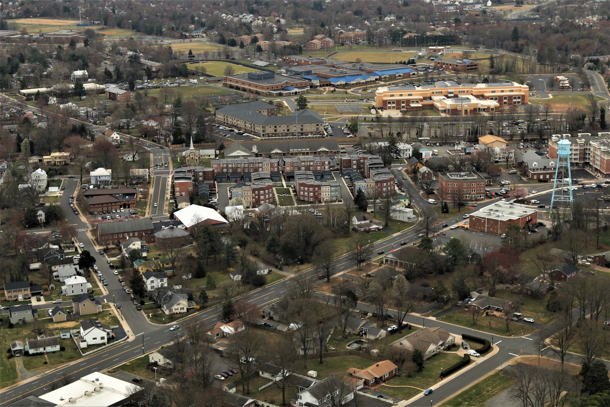
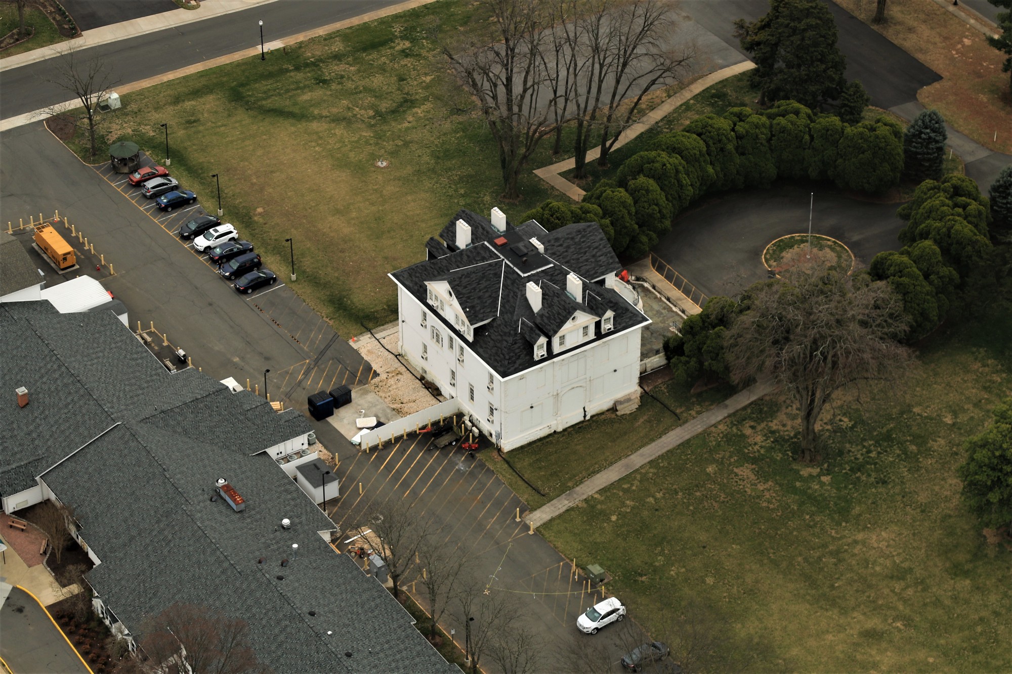
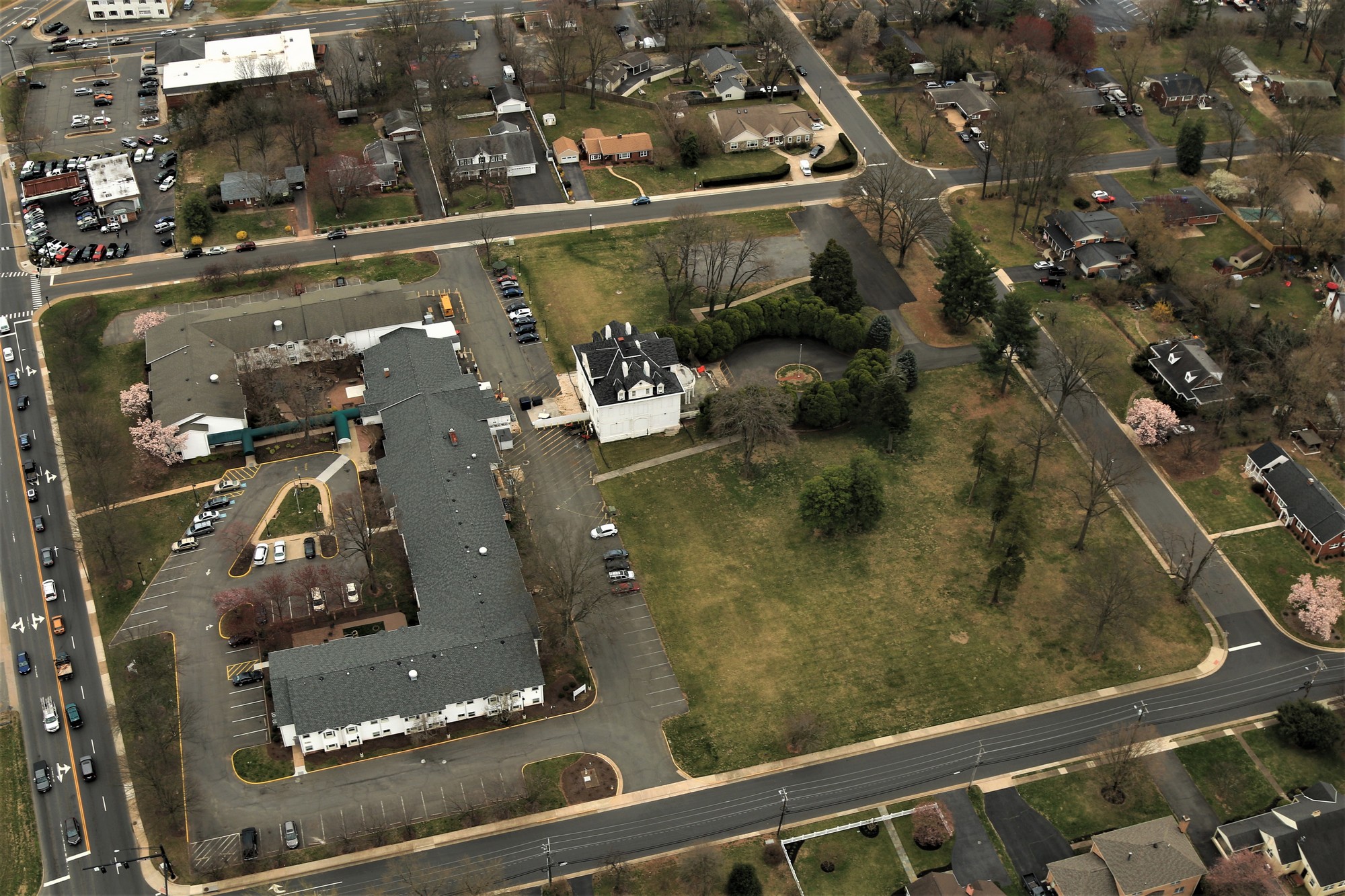
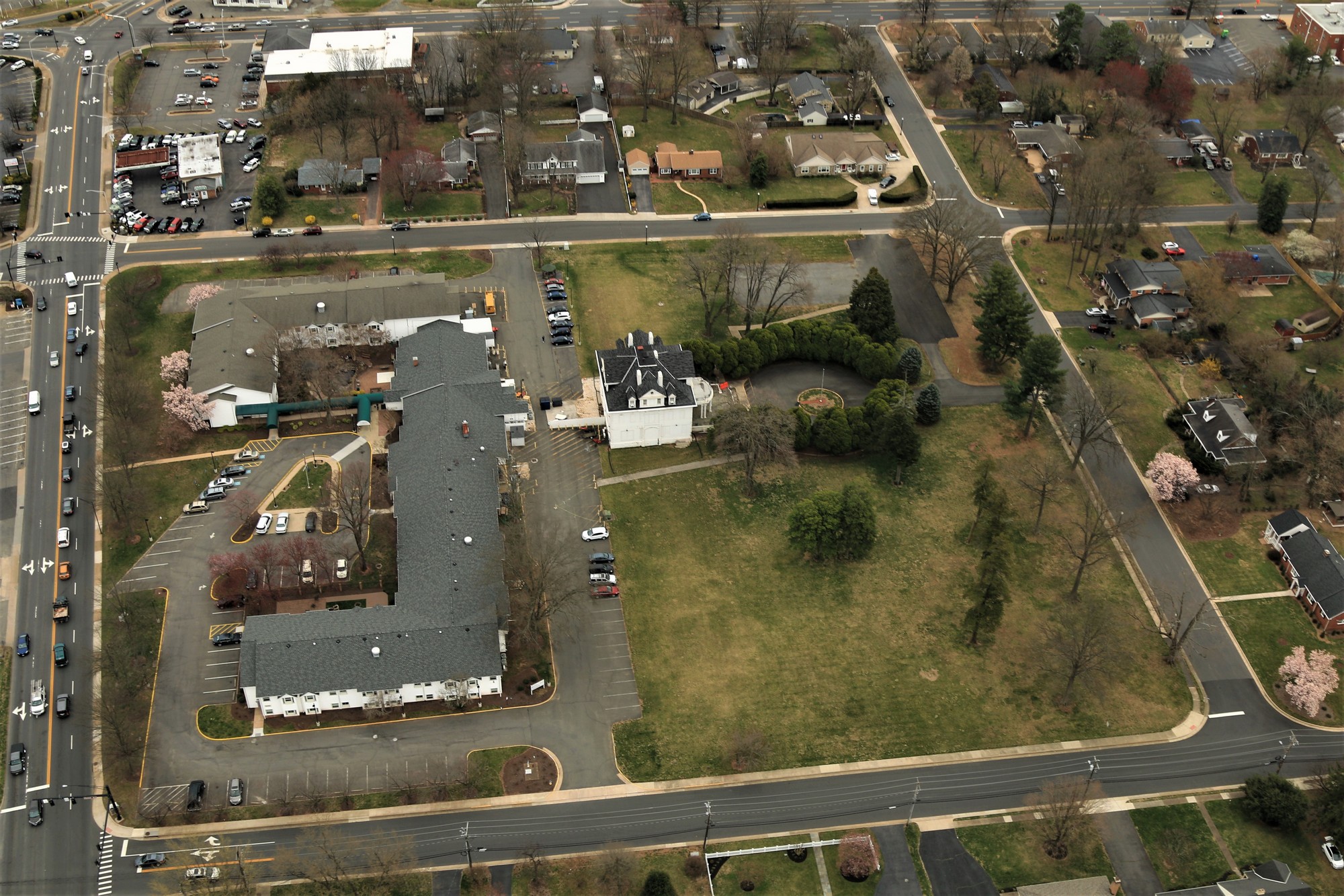
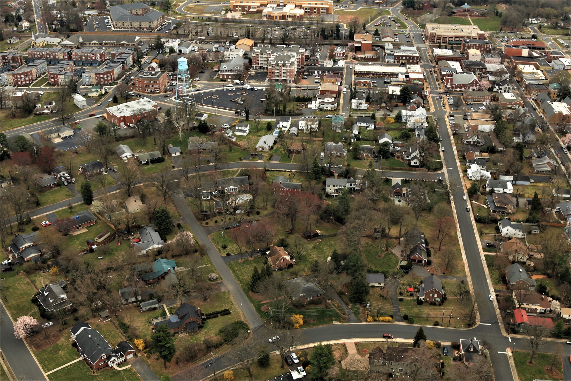
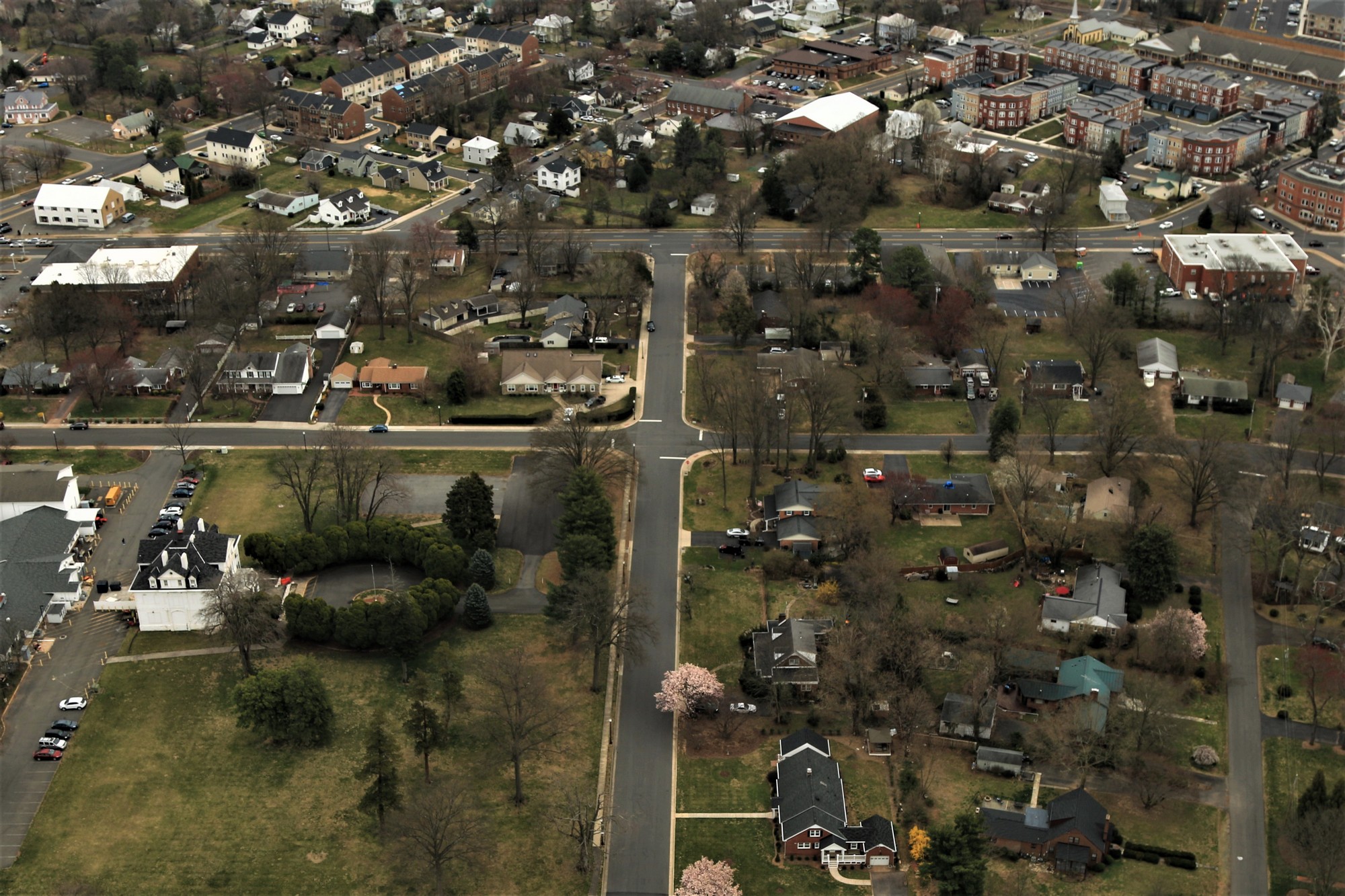
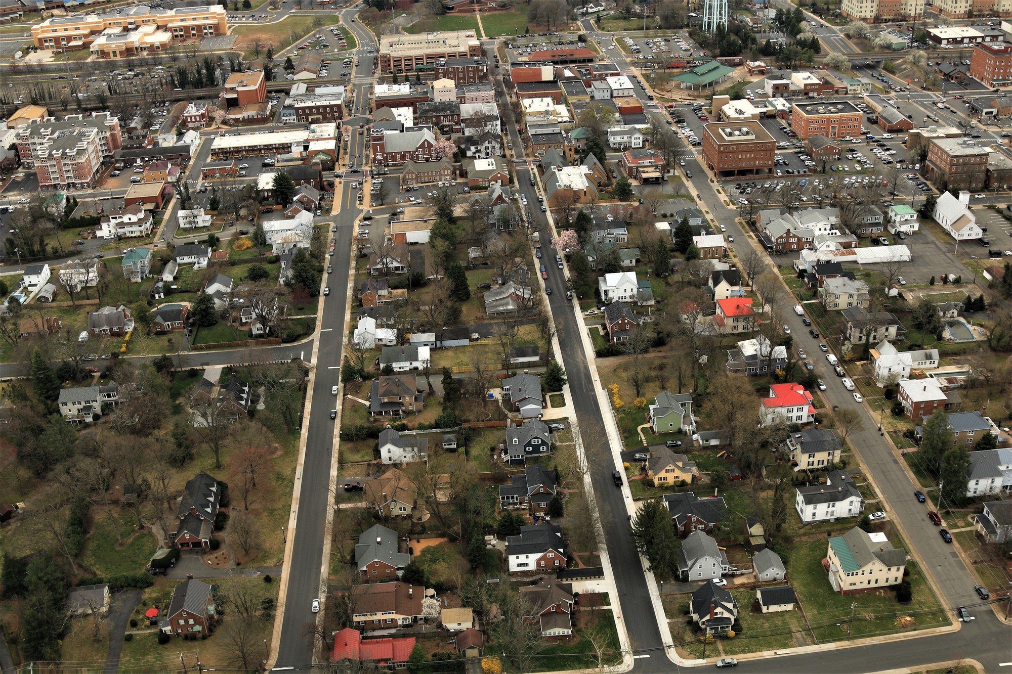
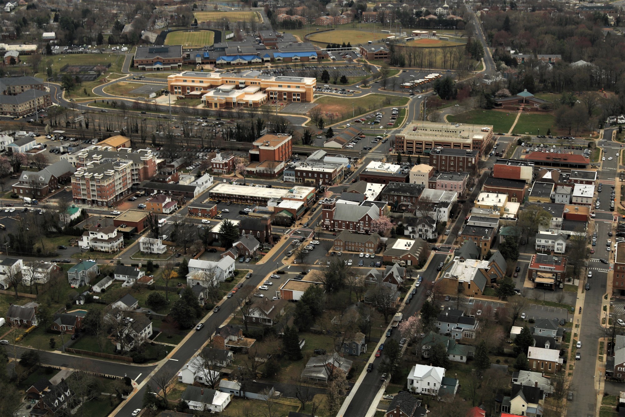
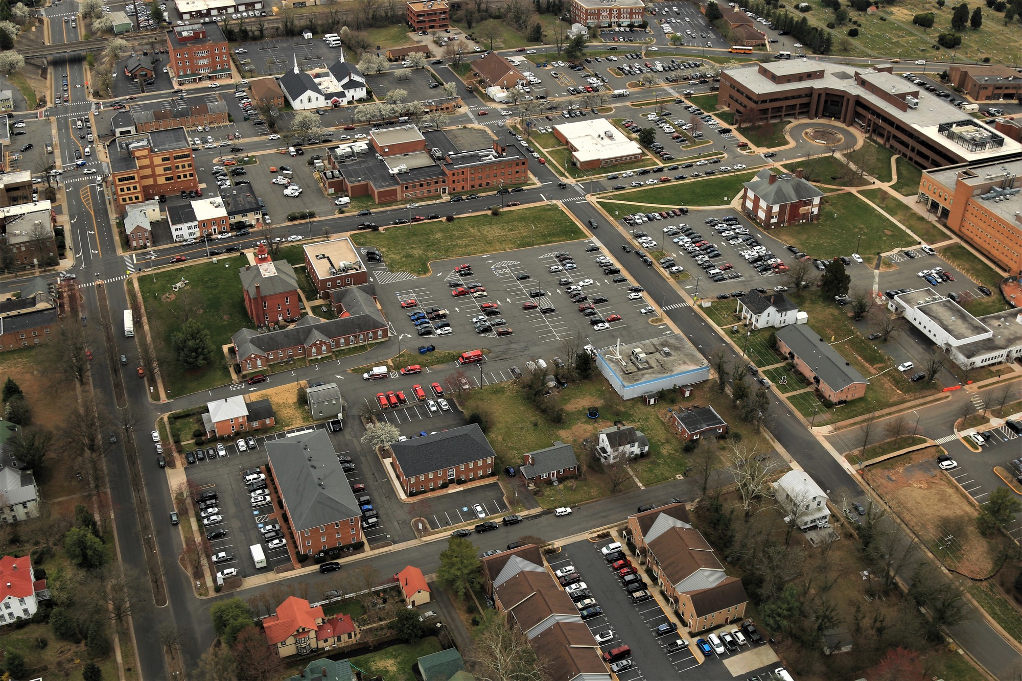
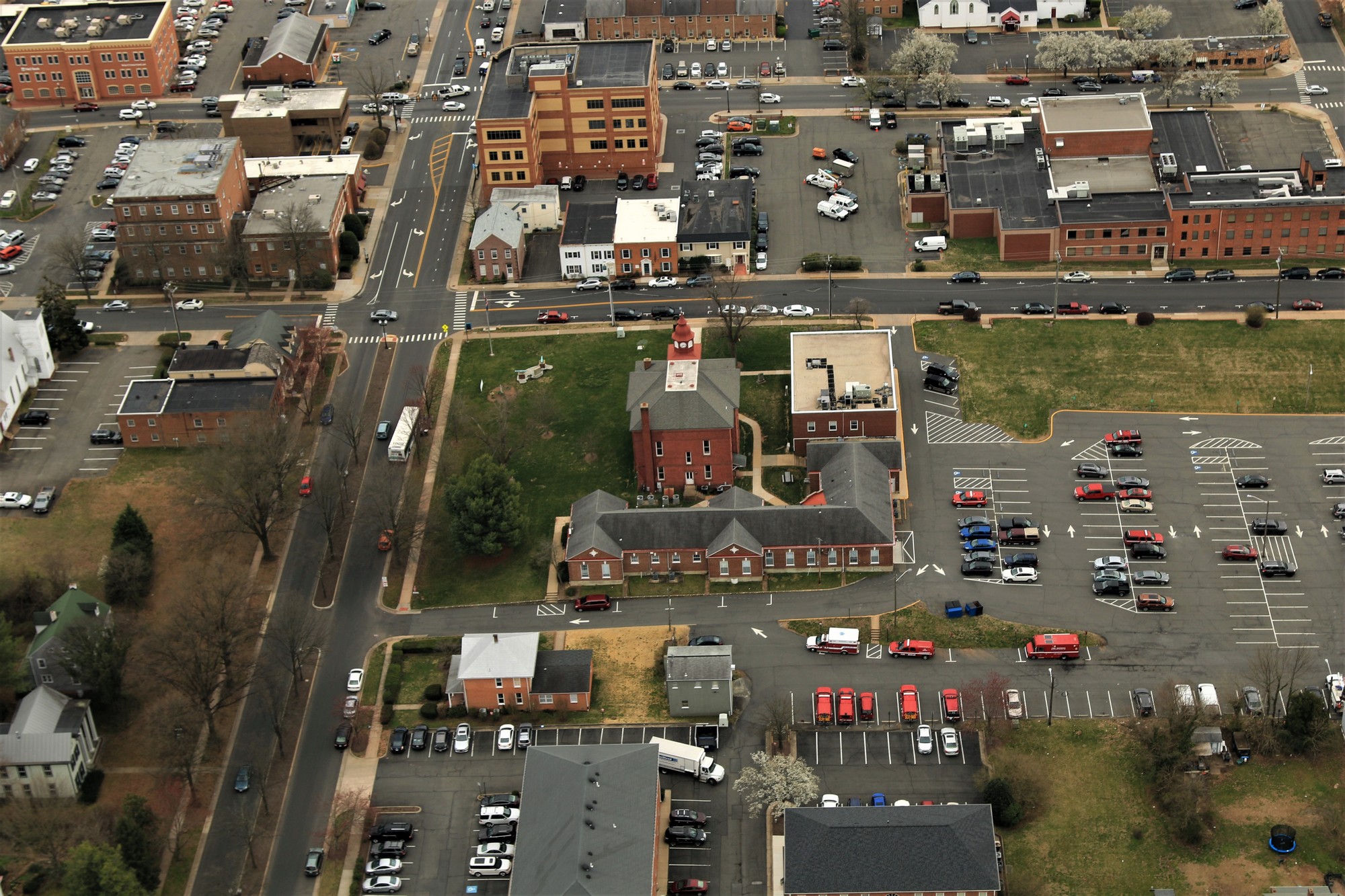
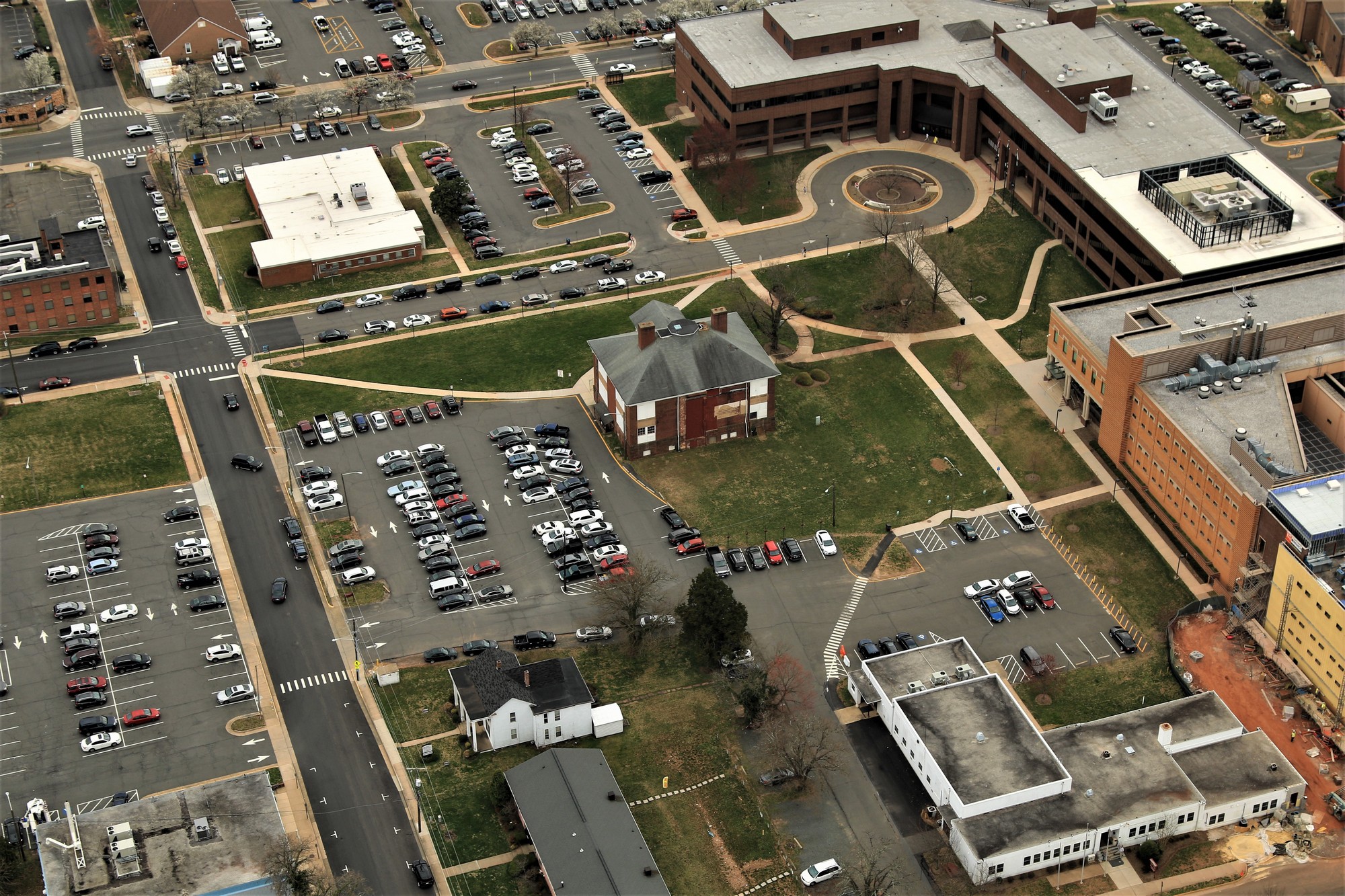
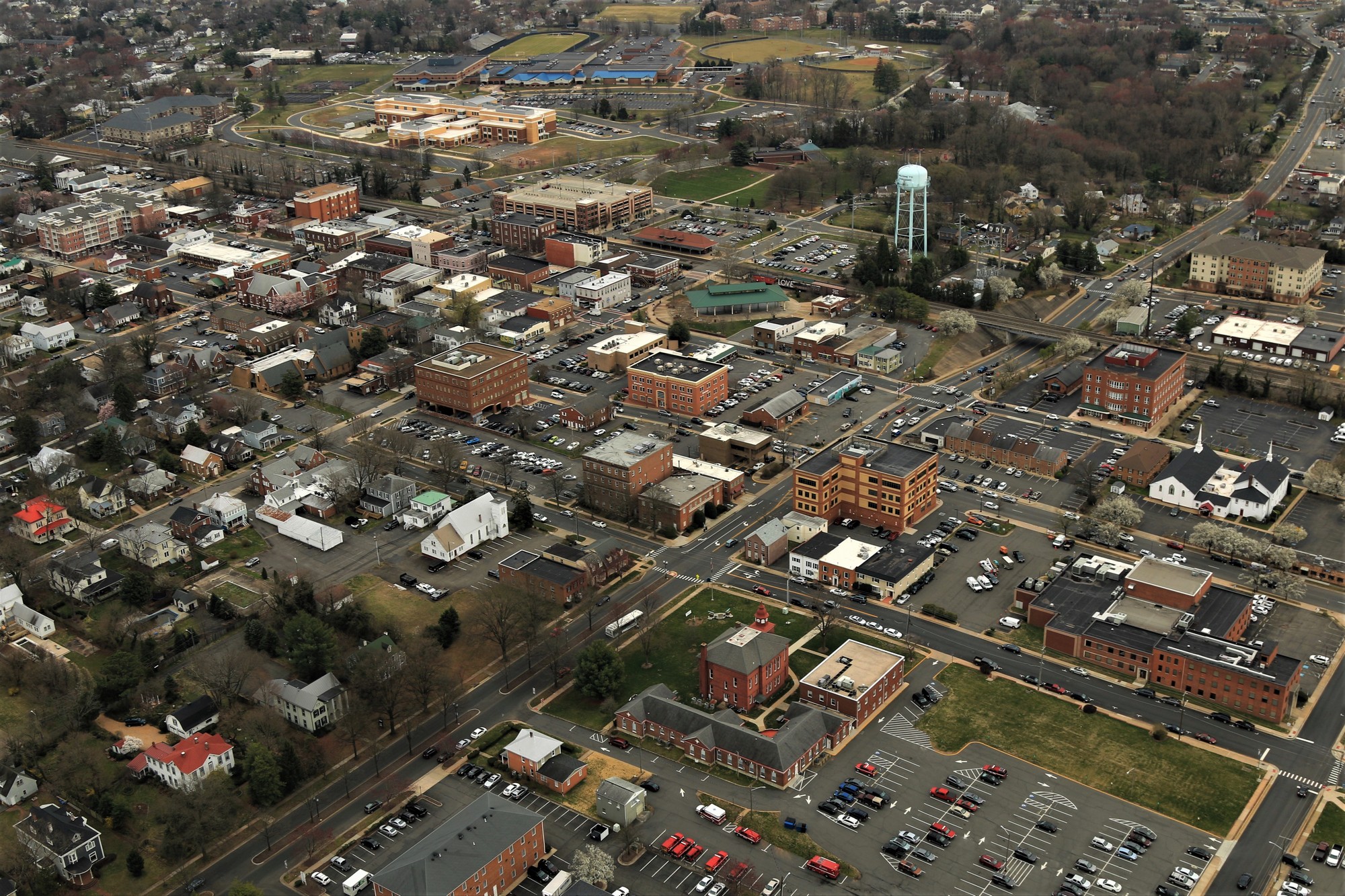
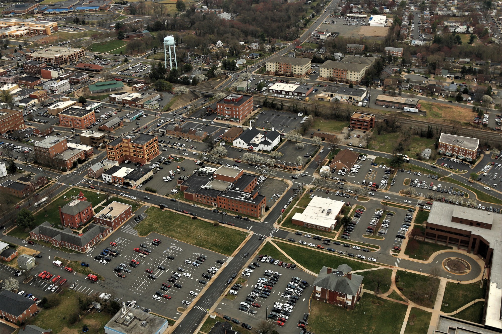
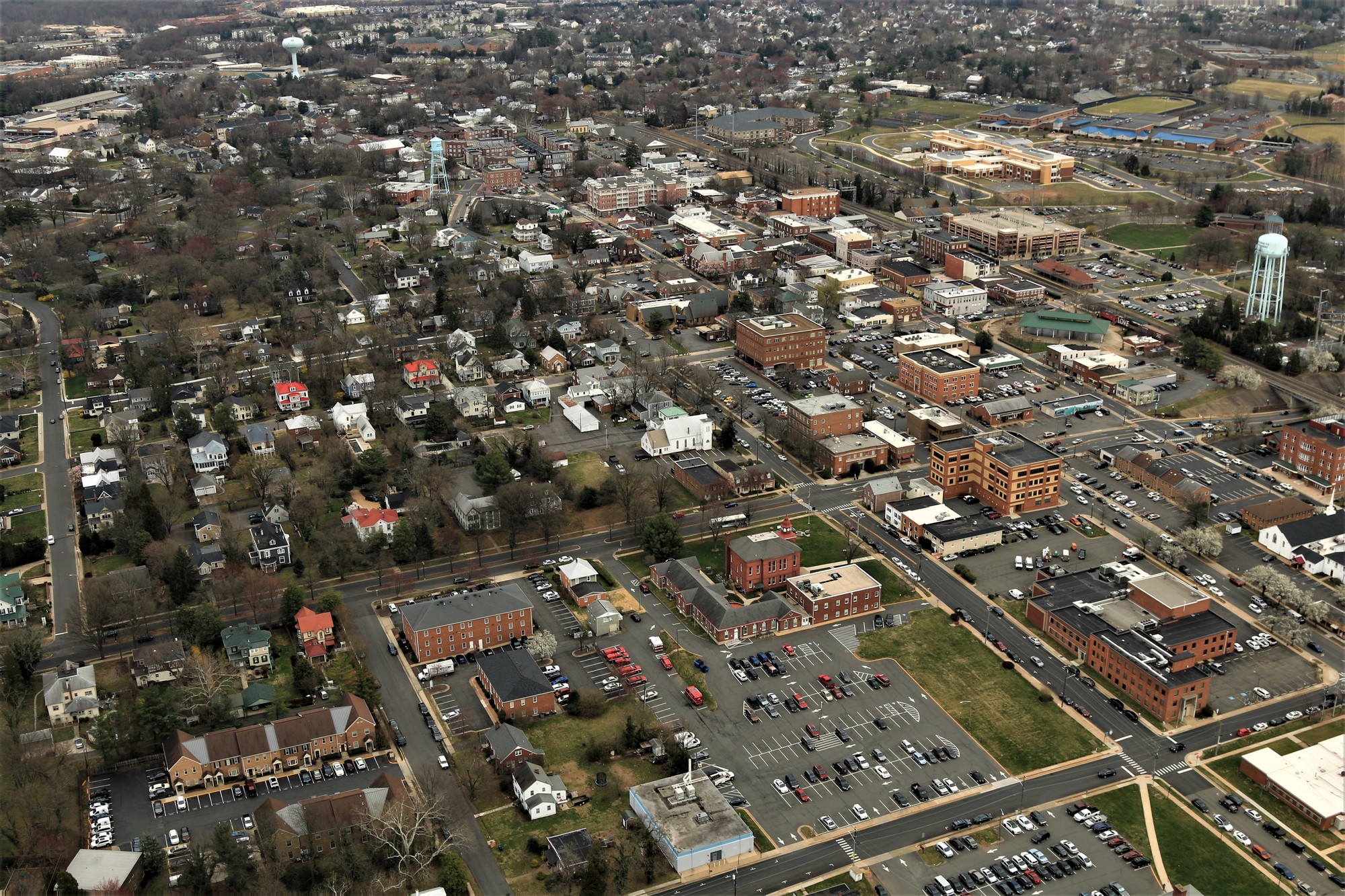
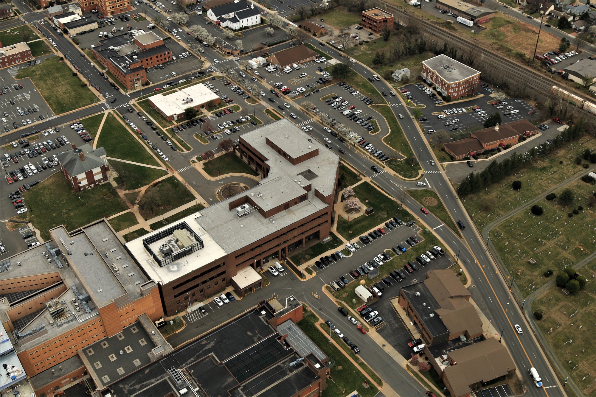
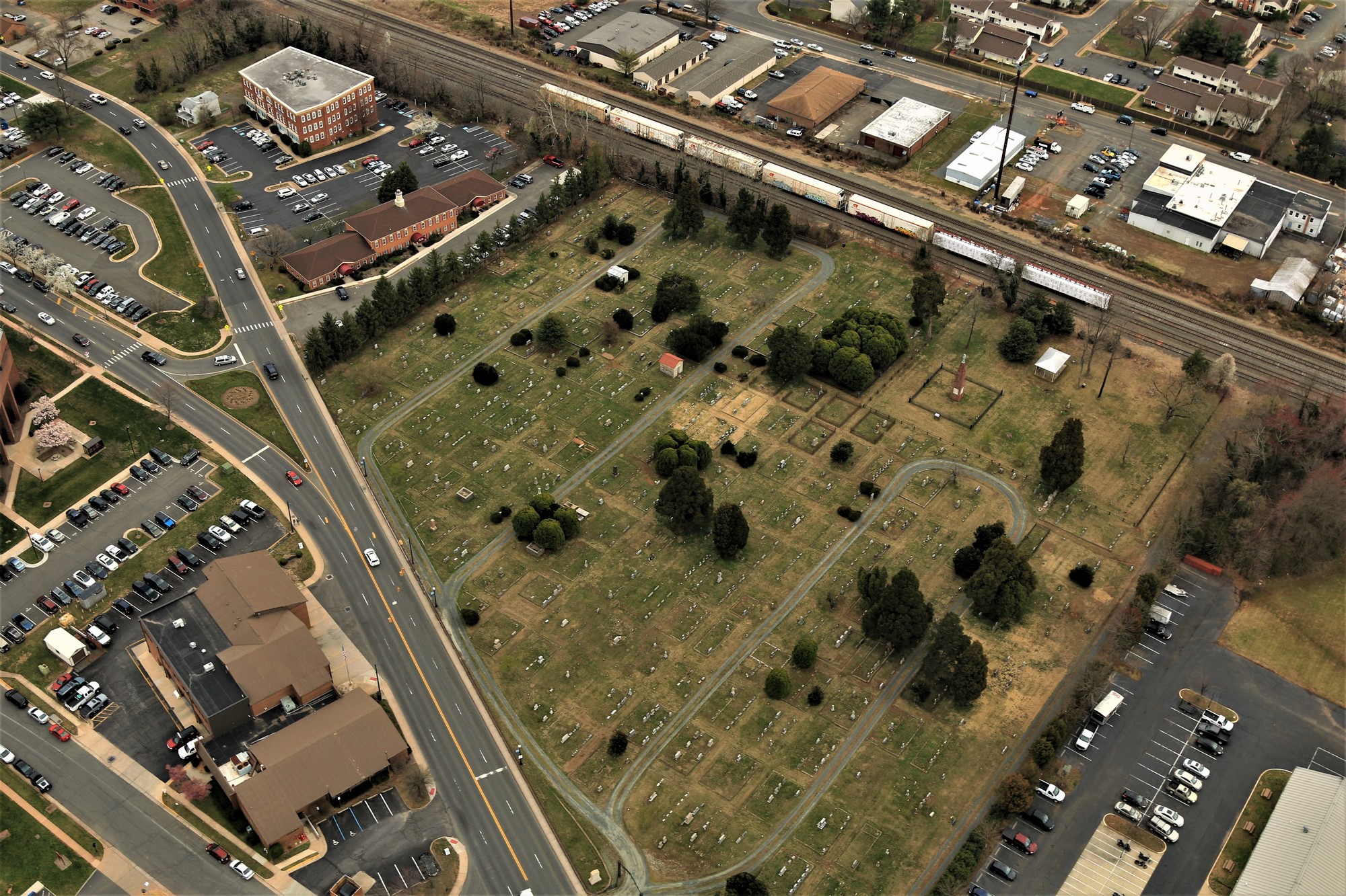
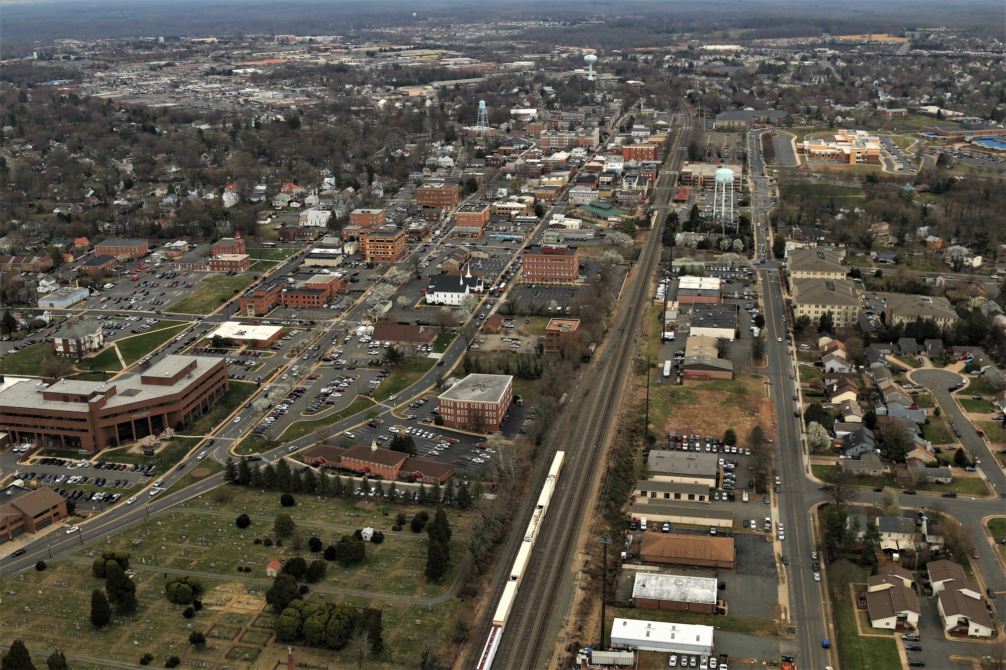
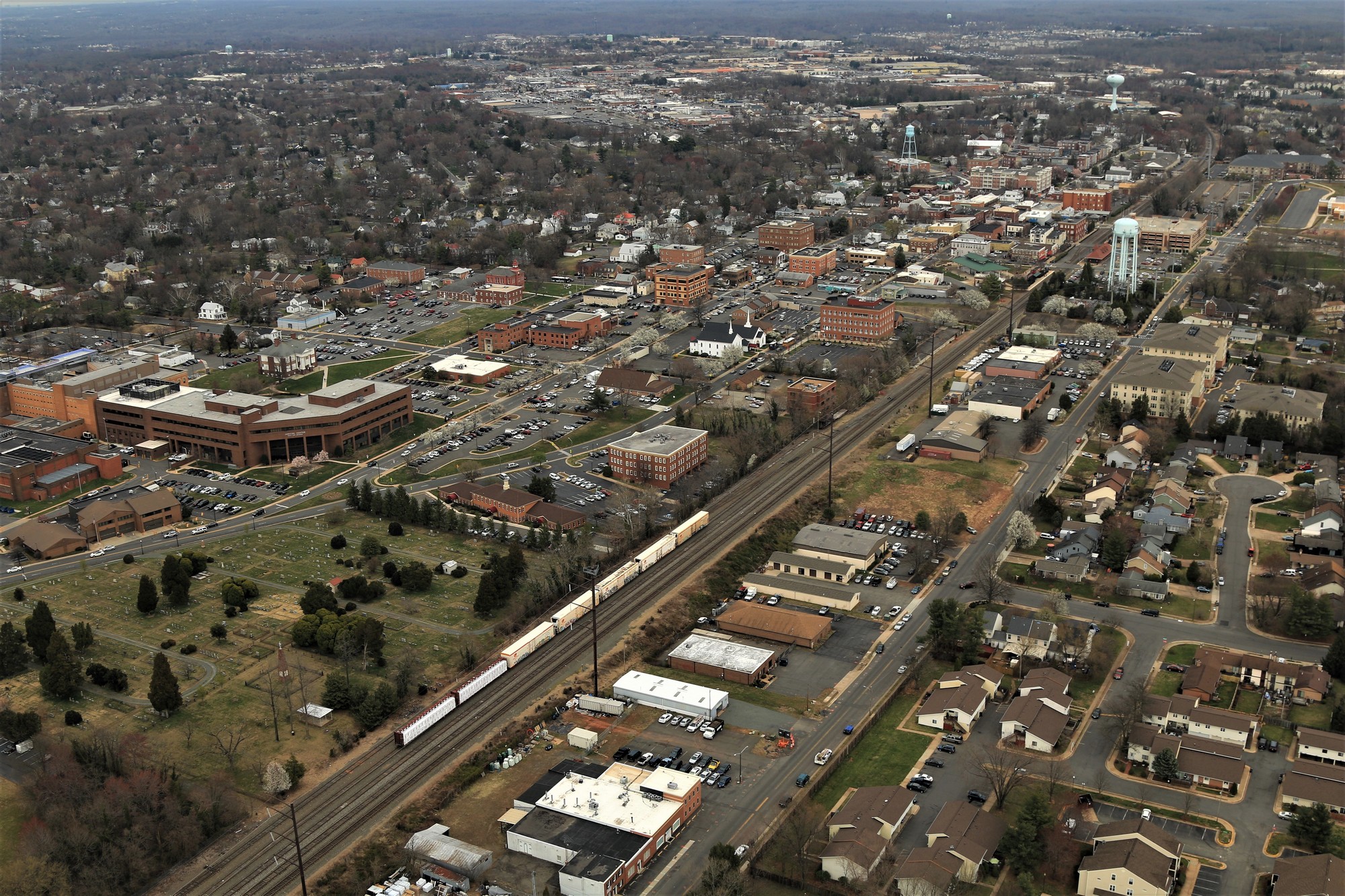
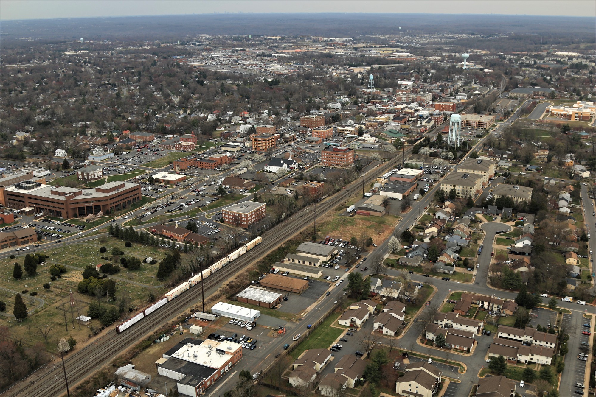
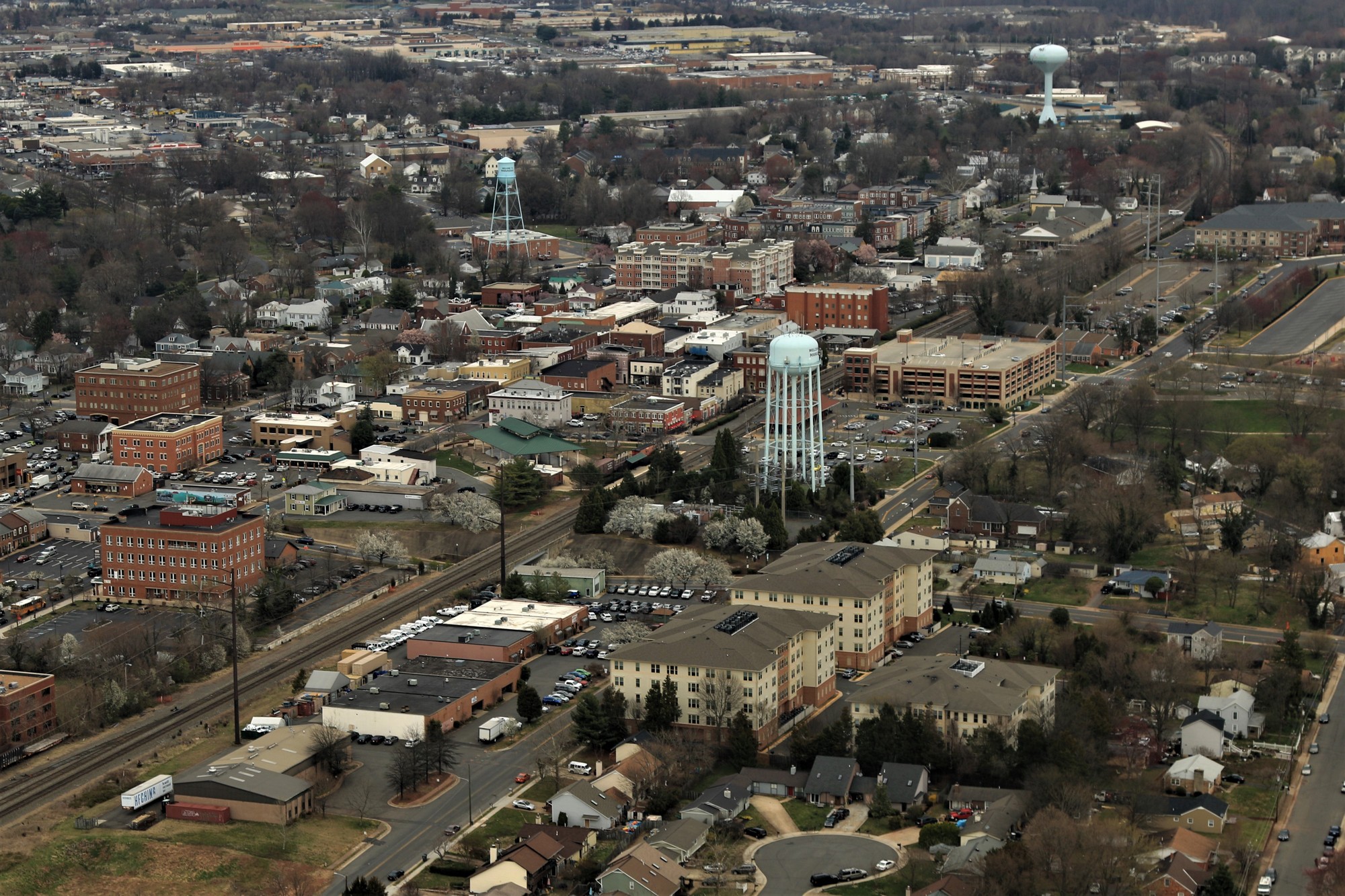
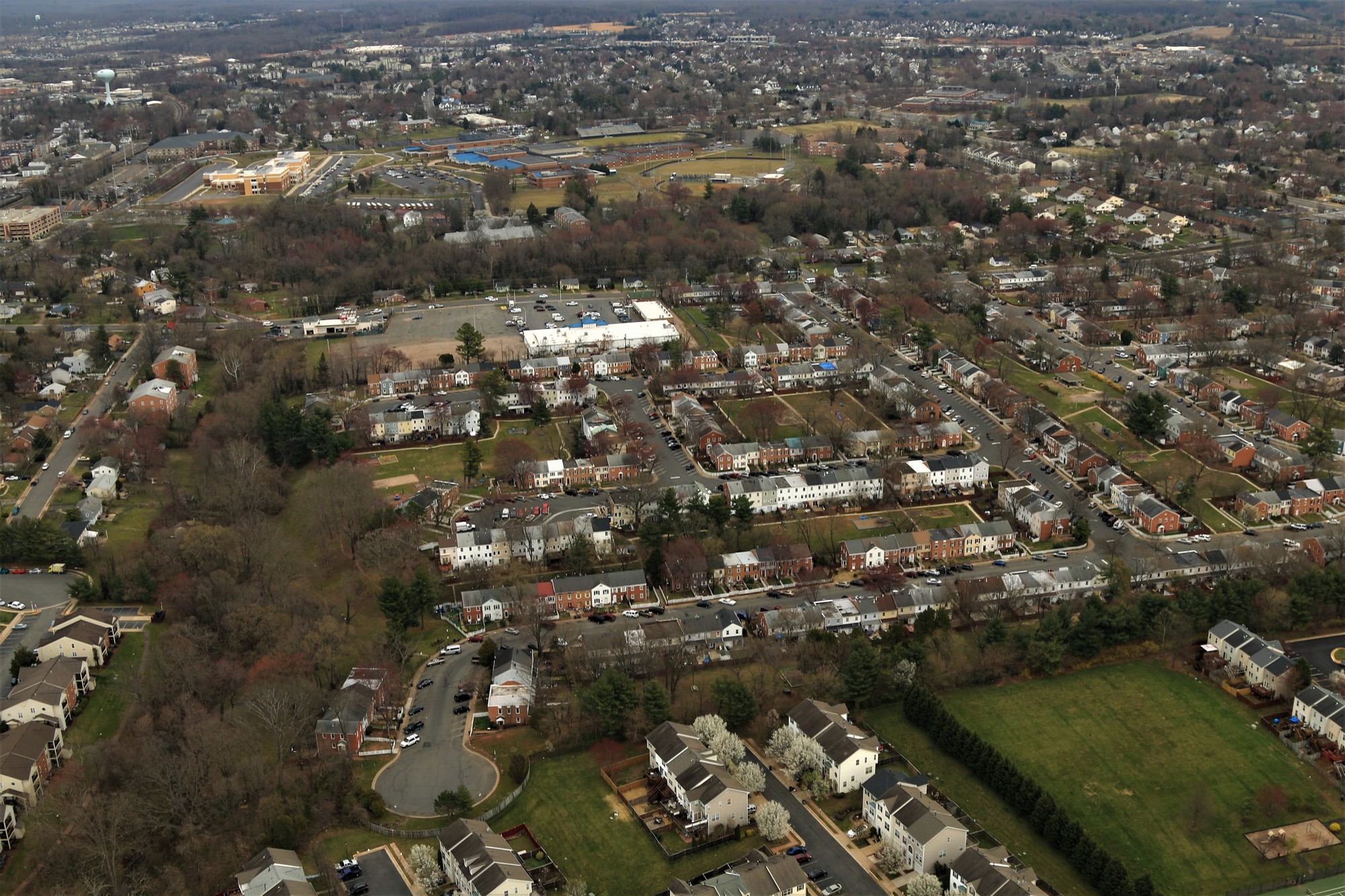
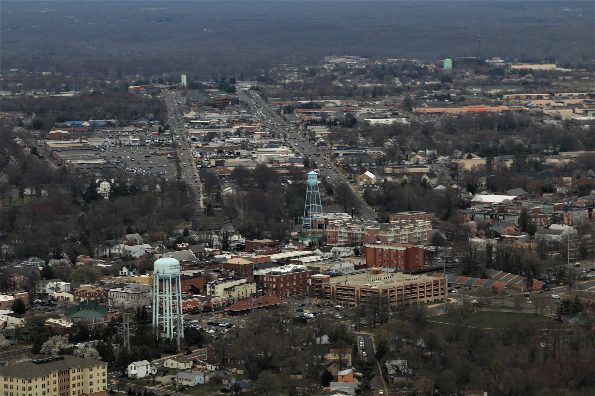
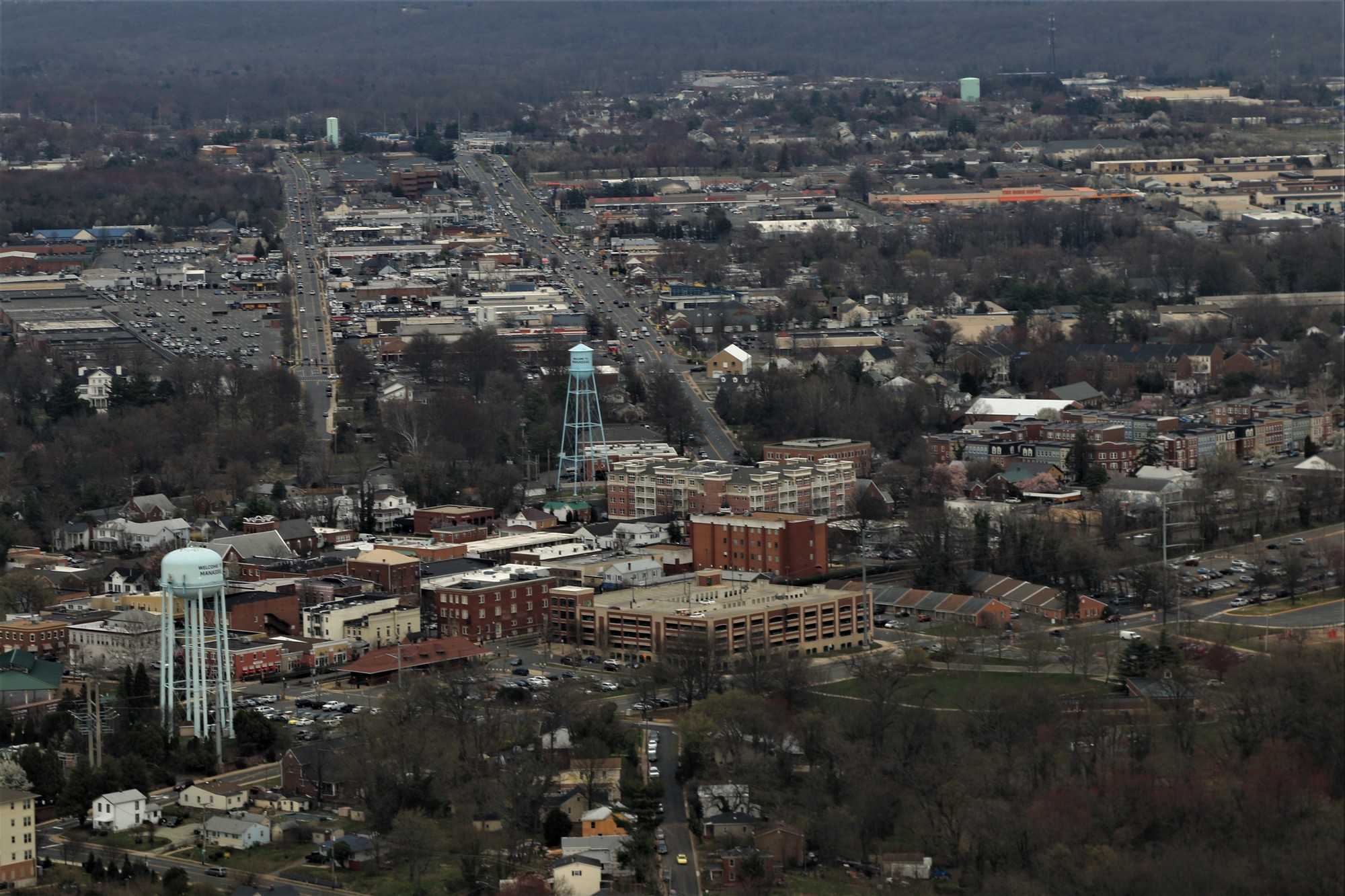
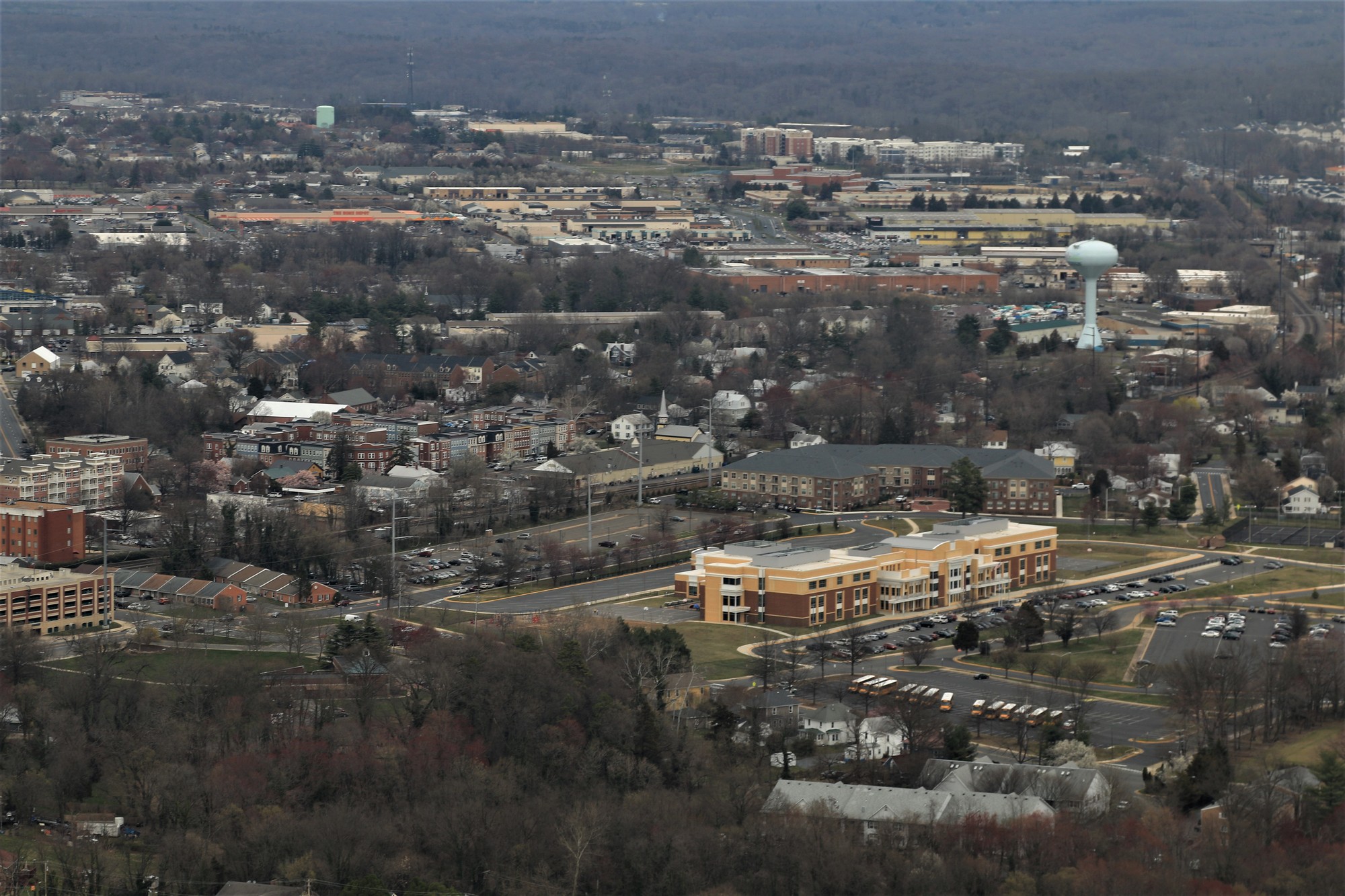
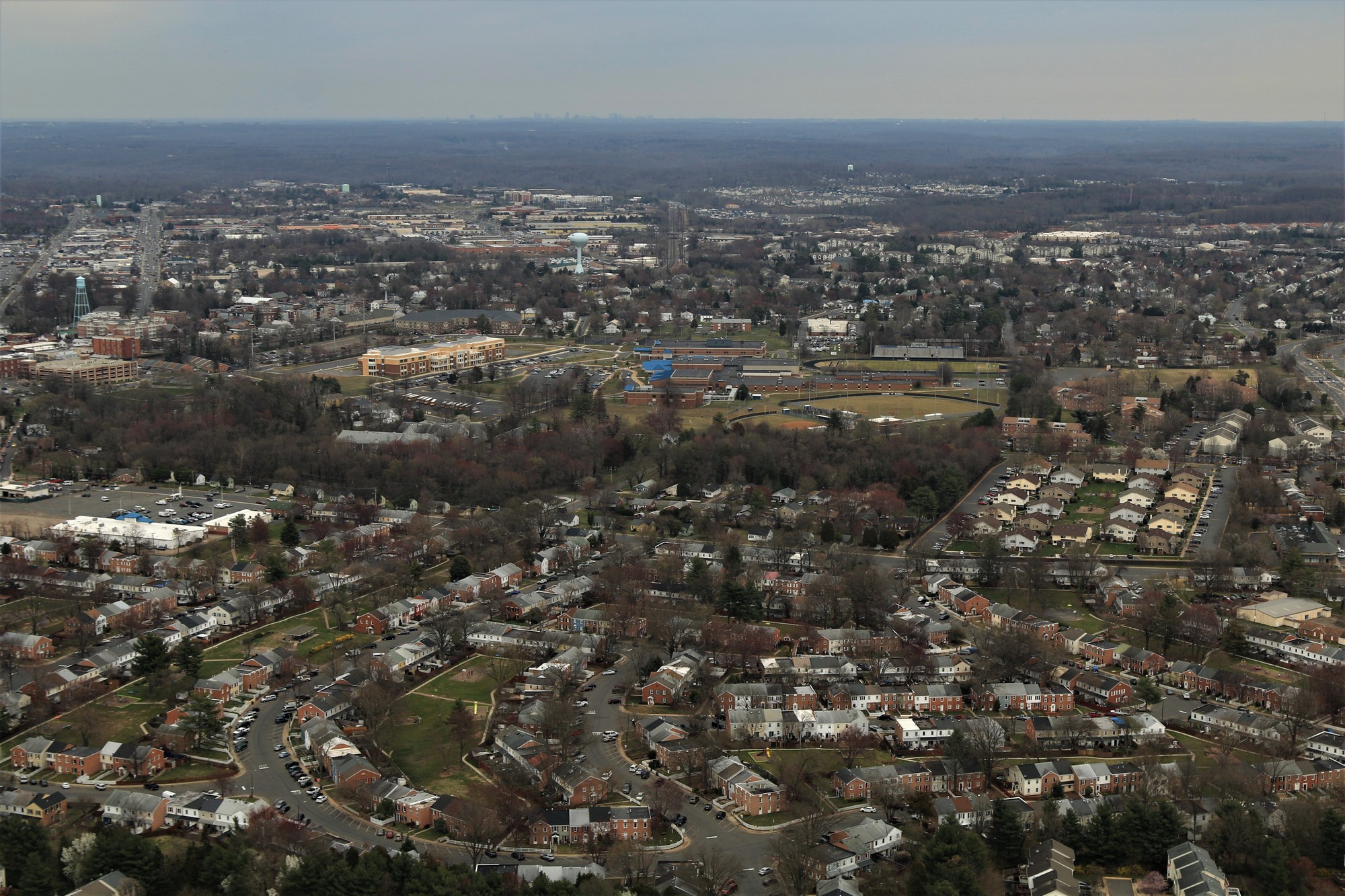
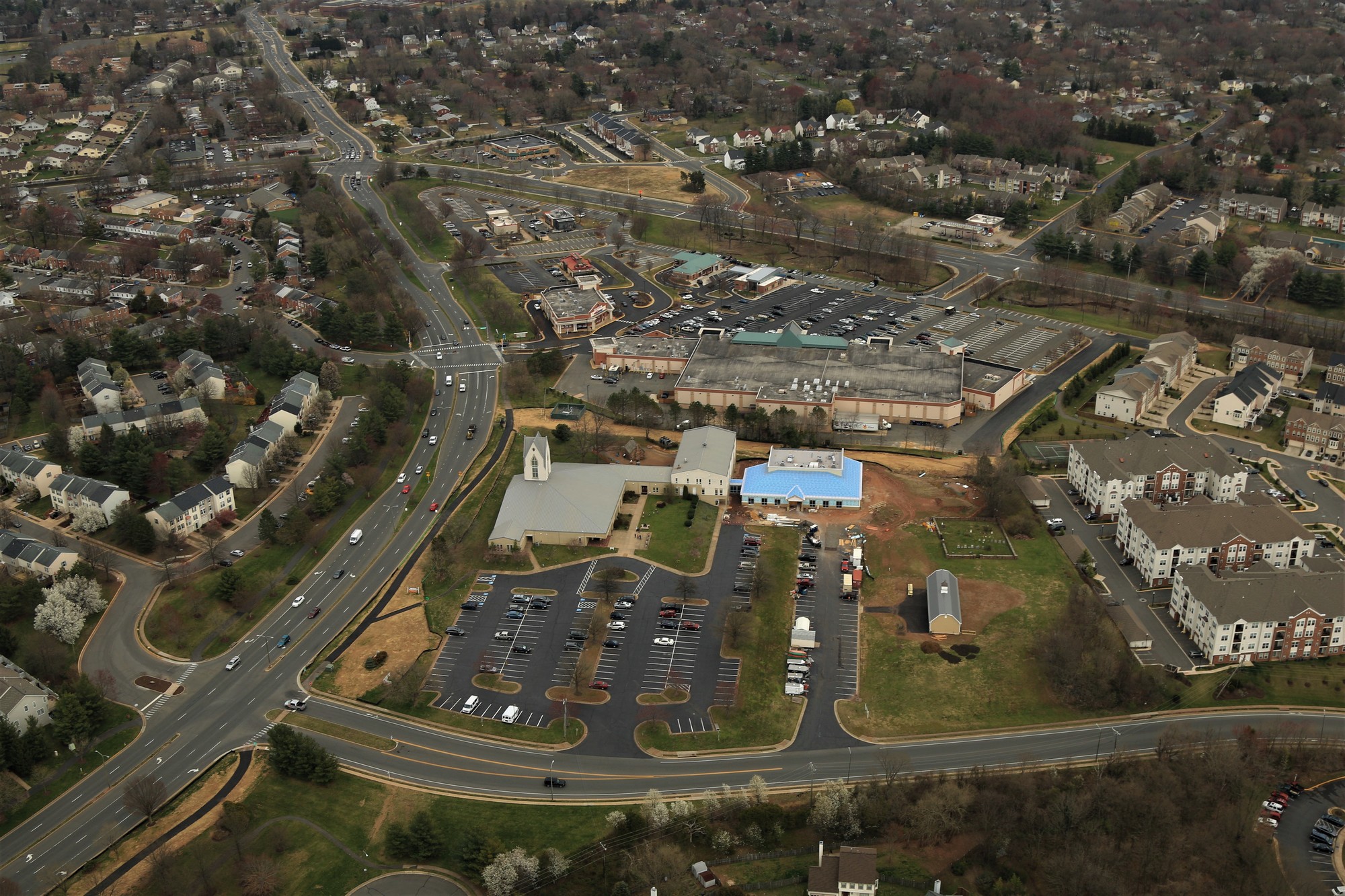
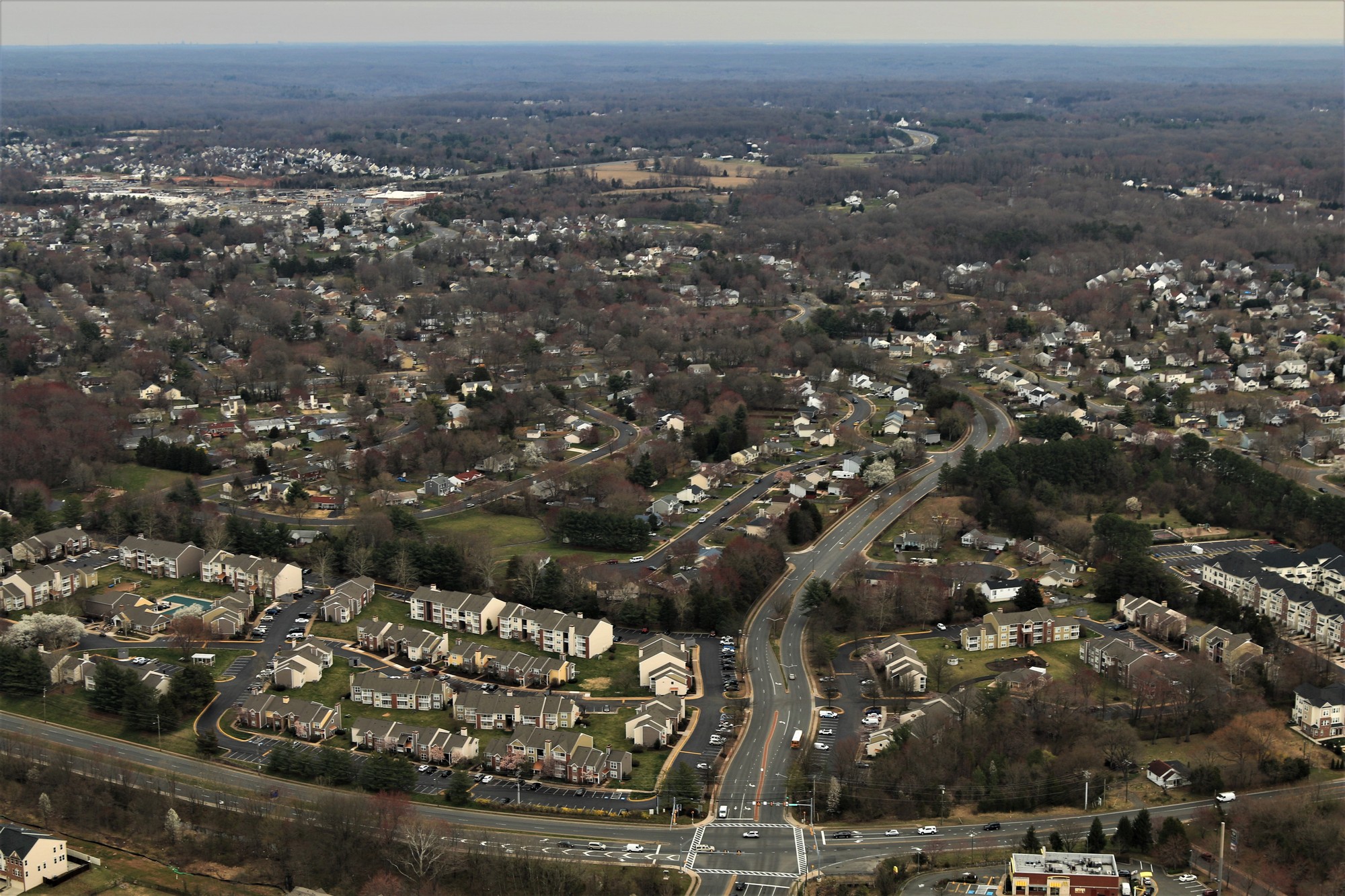
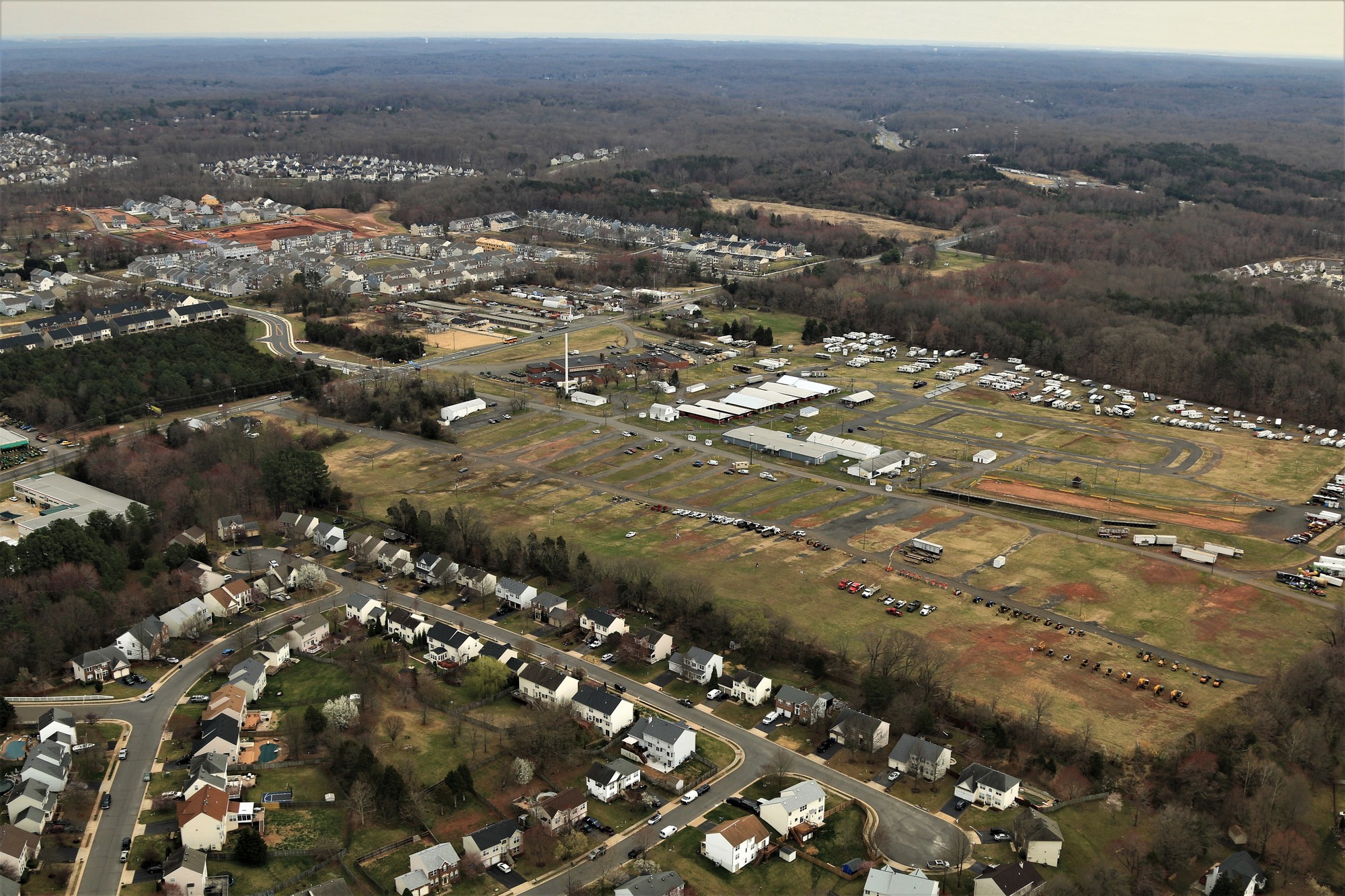
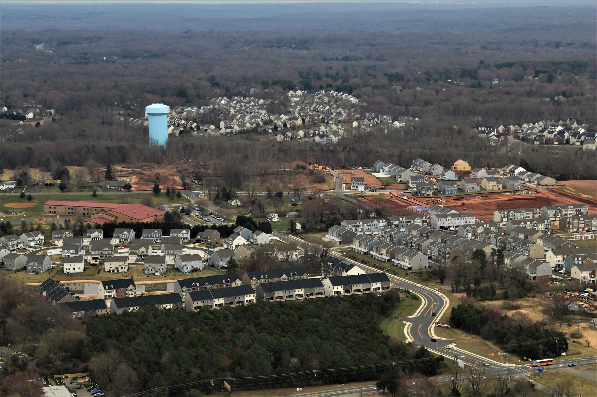
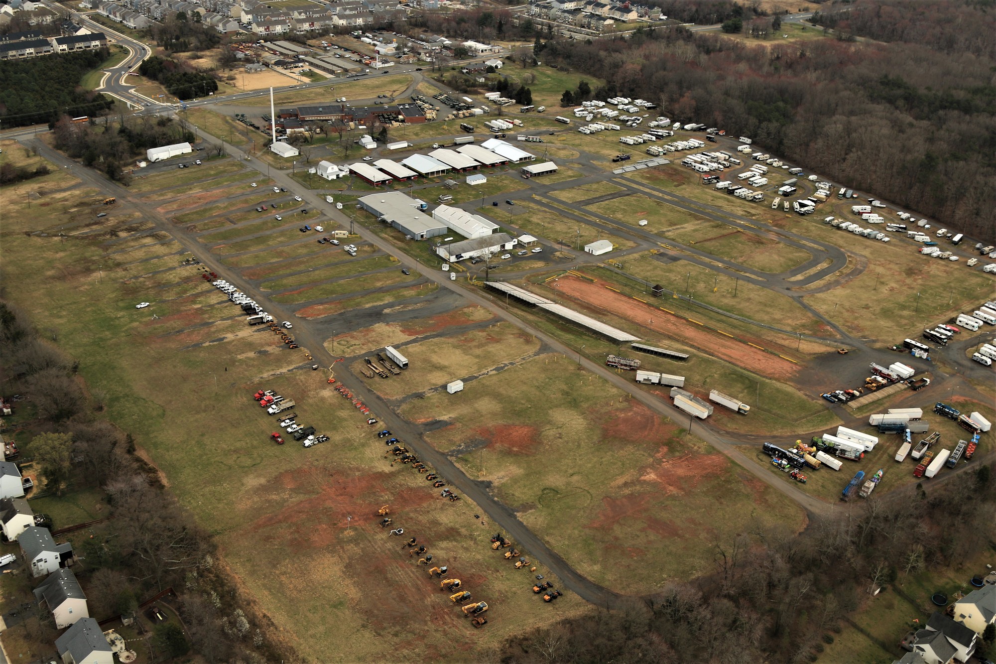
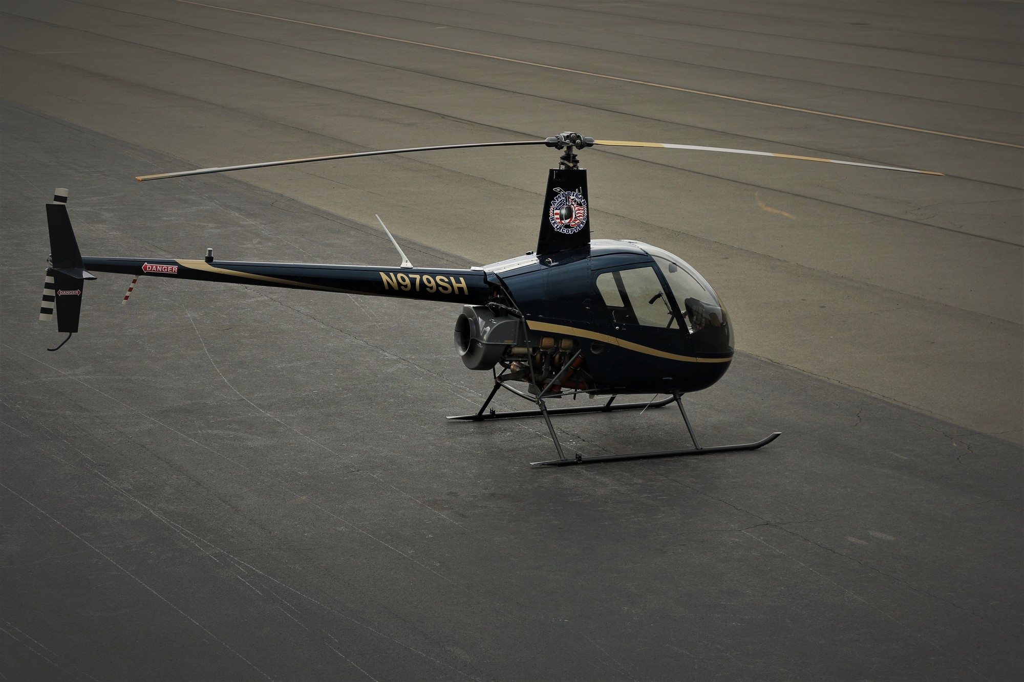
Pictures of Prince William County taken from a helicopter on Friday, March 29, 2019 between 2pm and 3pm.

You can also view a slide show of the images.

Helicopter we used - #1
full size
Construction at Harry J. Parrish Blvd and Clover Hill Rd. - #2
full size
Harry J. Parrish Blvd looking West - #3
full size
Manassas Airport - #4
full size
Manassas Airport - #5
full size
Manassas Airport - #6
full size
Construction on Harry J. Parrish Blvd - #7
full size
Construction on Harry J. Parrish Blvd - #8
full size
Glen-Gery Manassas Masonry Supply Center on Godwin Dr. - #9
full size
Construction at Micron Technology - #10
full size
Gateway Blvd. at Carolina Drive - #11
full size
West end of Manassas Airport - #12
full size
2 Silos Brewing Company - #13
full size
2 Silos Brewing Company - #14
full size
Prince William Parkway at Rt. 28 - #15
full size
Construction at Micron Technology - #16
full size
2 Silos Brewing Company - #17
full size
Discovery Hall and Hylton Performing Arts Center - #18
full size
Discovery Blvd., FBI on the right - #19
full size
Industrial Road - #20
full size
Sweeney Barn - #21
full size
Hornbaker Rd. at Braden Drive - #22
full size
Vulcan Quary, Wellington Road - #23
full size
Vulcan Quary, Wellington Road - #24
full size
Prince William Parkway at Sudley Manor Drive - #25
full size
Prince William Parkway at Sudley Manor Drive and Wellington Rd. - #26
full size
Prince William Parkway and Wellington Rd. - #27
full size
Wellington Rd. and Tac Ct. - #28
full size
Arcadia Run Apartments on Wellington Rd. - #29
full size
Arcadia Run Apartments on Wellington Rd. - #30
full size
Lexington Valley Drive - #31
full size
Wellington Rd. at Balls Ford Rd. - #32
full size
Jennell Drive at Old Sonoma Place - #33
full size
Night watch Court - #34
full size
Sapphire Ridge Place on left - #35
full size
Linton Hall Rd. at Rollins Ford Rd. - #36
full size
Holstein Pony Ct at Bridlewood Dr. - #37
full size
Linton Hall Rd. at Wellington Rd and Rt. 29 - #38
full size
Linton Hall Rd. at Wellington Rd and Rt. 29 - #39
full size
Virginia Oaks Golf Club - #40
full size
Montour Heights Dr. at Fowlers Mill Drive - #41
full size
Otter Creek Ct. and Lake Manassas Health & Rehabilitation Center - #42
full size
Vinewood Ct. Gainesville - #43
full size
Vint Hill Road at Rt. 29 looking North - #44
full size
Vint Hill Road at Rt. 29 looking North - #45
full size
John Marshall Hwy at Catharpin - #46
full size
Old barn and house on John Marshall Hwy - #47
full size
George G Tyler Elementary School - #48
full size
John Marshall Hwy looking west - #49
full size
John Marshall Hwy at Landseer Dr. - #50
full size
House on John Marshall Hwy - #51
full size
John Marshall Hwy at Greehill Crossing Dr. - #52
full size
Haymarket - #53
full size
Haymarket - #54
full size
Haymarket - #55
full size
Haymarket - #56
full size
Haymarket - #57
full size
Haymarket Elem. School and Woodlawn - #58
full size
Rt. 55 at Rt. 15 - #59
full size
Rt. 55 at Rt. 15 - #60
full size
Industrial Bldg on Rt. 55 - #61
full size
Industrial Bldg on Rt. 55 - #62
full size
Old farm on Rt. 55 - #63
full size
Industrial Bldg on Rt. 55 - #64
full size
Broad Run Nursery and The Farm Brewery at Broad Run - #65
full size
Leopold's Preserve on Thoroughfare Rd. - #66
full size
John Marshall Highway at Thoroughfare Rd - #67
full size
Old Cloverland Farm - #68
full size
I-66 and Lake Millbrook - #69
full size
Old Cloverland Farm - #70
full size
Wheeler Lane - #71
full size
Lake Millbrook - #72
full size
I-66 at Thoroughfare Gap - #73
full size
Bull Run Mountains Conservancy - #74
full size
Top of Bull Run Mountain looking West, Kotz Farm - #75
full size
Top of Bull Run Mountain looking West, Kotz Farm - #76
full size
I-66 at Trapp Branch Road - #77
full size
Kotz Farm - #78
full size
Broad Run at Bust Head Rd. - #79
full size
Bust Head Rd. - #80
full size
Bust Head Rd. - #81
full size
Bull Run Mountains Conservancy looking east - #82
full size
Bull Run Mountains Conservancy looking east - #83
full size
Georgetown Cemetery at Broad Run - #84
full size
I-66 at Thoroughfare Gap looking east - #85
full size
Bust Head Rd. looking north - #86
full size
I-66 at Thoroughfare Gap - #87
full size
I-66 at Thoroughfare Gap - #88
full size
Chapman's Mill info - #89
full size
Chapman's Mill info - #90
full size
Chapman's Mill info - #91
full size
Chapman's Mill info - #92
full size
Chapman's Mill info - #93
full size
Chapman's Mill info - #94
full size
Chapman's Mill info - #95
full size
Chapman's Mill info - #96
full size
Chapman's Mill info - #97
full size
Gaines Rd on right - #98
full size
Gaines Rd on bottom - #99
full size
Thousand Oaks Drive - #100
full size
Thousand Oaks Drive - #101
full size
Thousand Oaks Drive - #102
full size
Thunder Road - #103
full size
House on Thunder Road - #104
full size
Near Stormy Drive - #105
full size
Stormy Drive - #106
full size
Stormy Drive - #107
full size
Waterfall Road - #108
full size
Jennifer Lane - #109
full size
Mountain Rd. at Jackson Hollow Rd. - #110
full size
Mountain Rd. - #111
full size
House on the hill - #112
full size
Berkley Dr. at Woolman - #113
full size
Inn at Evergreen and Evergreen Country Club - #114
full size
Inn at Evergreen and Evergreen Country Club - #115
full size
Inn at Evergreen and Evergreen Country Club - #116
full size
Hunton Lane - #117
full size
Hunton Lane - #118
full size
Hunton Lane - #119
full size
George Farm, Mountain Rd. - #120
full size
George Farm, Mountain Rd. - #121
full size
Logmill at Parnell Ct. - #122
full size
Parnell Ct. looking west - #123
full size
Latham Farm on Logmill Road - #124
full size
Latham Farm on Logmill Road - #125
full size
Largo Vista Drive - #126
full size
Largo Vista Drive - #127
full size
Latham Farm on Logmill Road - #128
full size
James Madison Hwy. north of Logmill Rd. - #129
full size
James Madison Hwy. at Logmill Rd. - #130
full size
Over Ingram Drive looking east - #131
full size
Ingram Drive at Logmill Rd. - #132
full size
Greenville Farm Family Campground on Shelter Lane - #133
full size
Dowden Downs Dr. - #134
full size
Greenville Farm Family Campground on Shelter Lane - #135
full size
Shelter Manor Drive - #136
full size
Greenville Farm Family Campground on Shelter Lane - #137
full size
Greenville Farm Family Campground on Shelter Lane - #138
full size
Dallas Ct. at Barry Road - #139
full size
Canterbury Lane at Covantry Lane - #140
full size
LynnVale Studios Farm - #141
full size
Holly Ridge Lane - #142
full size
LynnVale Studios Farm - #143
full size
Smerbeck Farm and Finish Line Dr. - #144
full size
Smerbeck Farm and Finish Line Dr. - #145
full size
Catharpin Rd. at Circuit Ct. - #146
full size
Livia Drive - #147
full size
Livia Drive and Sudley Rd. - #148
full size
Livia Drive and Pageland Ln. - #149
full size
Livia Drive - #150
full size
Farm near 5300 block of Pageland - #151
full size
5500 Block of Pageland Lane - #152
full size
Luckstone on Gum Spring Rd. - #153
full size
General Trimbles Lane - #154
full size
General Trimbles Lane - #155
full size
NE section of Brawner Farm Interpretive Center - #156
full size
NE section of Brawner Farm Interpretive Center - #157
full size
Stonewall Memory Gardens - #158
full size
NE section of Brawner Farm Interpretive Center - #159
full size
NE section of Brawner Farm Interpretive Center - #160
full size
NE section of Brawner Farm Interpretive Center - #161
full size
NE section of Brawner Farm Interpretive Center - #162
full size
NE section of Brawner Farm Interpretive Center - #163
full size
Manassas National Battlefield Park - #164
full size
Manassas National Battlefield Park - #165
full size
Manassas National Battlefield Park - #166
full size
Manassas National Battlefield Park - #167
full size
Manassas National Battlefield Park - #168
full size
Manassas National Battlefield Park - #169
full size
Manassas National Battlefield Park - #170
full size
Manassas National Battlefield Park - #171
full size
Manassas National Battlefield Park - #172
full size
Manassas National Battlefield Park - #173
full size
I-66 and Sudley Rd. - #174
full size
Manassas National Battlefield Park - #175
full size
Manassas National Battlefield Park - #176
full size
Manassas National Battlefield Park - #177
full size
Manassas National Battlefield Park - #178
full size
Manassas National Battlefield Park - #179
full size
Luck Stone Corporation Fairfax Quarry - #180
full size
Manassas National Battlefield Park - #181
full size
ECPI University - #182
full size
Central Buddhist Church Van Hanh - #183
full size
Luck Stone Corporation Fairfax Quarry - #184
full size
Bull Run Park - #185
full size
Bull Run Campground - #186
full size
Upper Occoquan Service Authority - #187
full size
Upper Occoquan Service Authority - #188
full size
Northern Yorkshire - #189
full size
Ordway Rd. and Centreville Rd. looking NE - #190
full size
Northern Yorkshire - #191
full size
Northern Yorkshire - #192
full size
Ordway Rd. at Centreville Rd. looking - #193
full size
Yorkshire Lane at Centreville Rd. - #194
full size
Rugby Rd., Yorkshire - #195
full size
Leland Rd., Yorkshire - #196
full size
Yorkshire, Manassas Park - #197
full size
Yorkshire, Manassas Park - #198
full size
Lindsay Chrysler Dodge Jeep Ram - #199
full size
Centreville Rd. at Browns Lane - #200
full size
Parkside Middle School - #201
full size
Centreville Rd. and Mathis Ave. - #202
full size
Centreville Rd., Mathis Ave., and Manassas Dr. - #203
full size
Central Community Library - #204
full size
Centreville Rd. at Phoenix Dr. - #205
full size
Old Towne Manassas - #206
full size
Centreville Rd. at Liberia Ave. - #207
full size
Centreville Rd. and Mathis Ave. - #208
full size
Centreville Rd. at Manassas Mobile Home Park - #209
full size
Centreville Rd. at Liberia Ave. - #210
full size
Centreville Rd. and Mathis Ave. - #211
full size
Centreville Rd. and Mathis Ave. - #212
full size
Centreville Rd., Sudley Rd., and Prescott Ave. - #213
full size
Centreville Rd. at Maple St. - #214
full size
Annaburg Manor - #215
full size
Annaburg Manor - #216
full size
Annaburg Manor - #217
full size
Annaburg Manor - #218
full size
Portner Ave. at Main Street - #219
full size
Maple St. at Mathis Ave. - #220
full size
Main, Battle, and West Streets - #221
full size
Old Towne Manassas - #222
full size
Old and New Courthouses - #223
full size
Old Courthouse at Grant and Lee Ave. - #224
full size
Former Bennett Elementary School - #225
full size
Old Towne Manassas - #226
full size
Old Towne Manassas - #227
full size
Old Towne Manassas - #228
full size
Manassas Courthouse - #229
full size
Manassas Cemetery - #230
full size
Manassas Cemetery - #231
full size
Center St., Old Towne Manassas - #232
full size
Old Towne Manassas - #233
full size
Old Towne Manassas - #234
full size
Old Towne Manassas - #235
full size
Old Towne Manassas - #236
full size
Old Towne Manassas - #237
full size
Old Towne Manassas - #238
full size
Bragg Lane in Georgetown South - #239
full size
Hood Rd. looking North East - #240
full size
Old Towne Manassas - #241
full size
Old Towne Manassas - #242
full size
Baldwin Elementary School - #243
full size
Georgetown South and Old Towne Manassas - #244
full size
Georgetown South and Osbourn High School - #245
full size
Wellington Rd. at Hendley Rd. - #246
full size
Kline Farm on the Prince William Parkway - #247
full size
Dumfries Rd. at Hastings Dr. - #248
full size
PWC Fairgrounds - #249
full size
Dumfries Rd. at Old Dominion Dr. - #250
full size
PWC Fairgrounds - #251
full size
PWC Fairgrounds - #252
full size
PWC Fairgrounds - #253
full size
PWC Fairgrounds - #254
full size
Bradley on Dumfries Rd. - #255
full size
Godwin Dr. Looking SE - #256
full size
Prince William Parkway at Lucasville Rd. - #257
full size
Lucasville Rd. at Fostern Ln. - #258
full size
Chevalle Dr. - #259
full size
Chevalle Dr. - #260
full size
Houses on Flint Rock Rd. - #261
full size
Bristow Rd. - #262
full size
Split Oak Lane - #263
full size
Split Oak Lane - #264
full size
Manassas Airport - #265
full size
Manassas Airport - #266
full size
Robinson R22 Helicopter - #268
full size