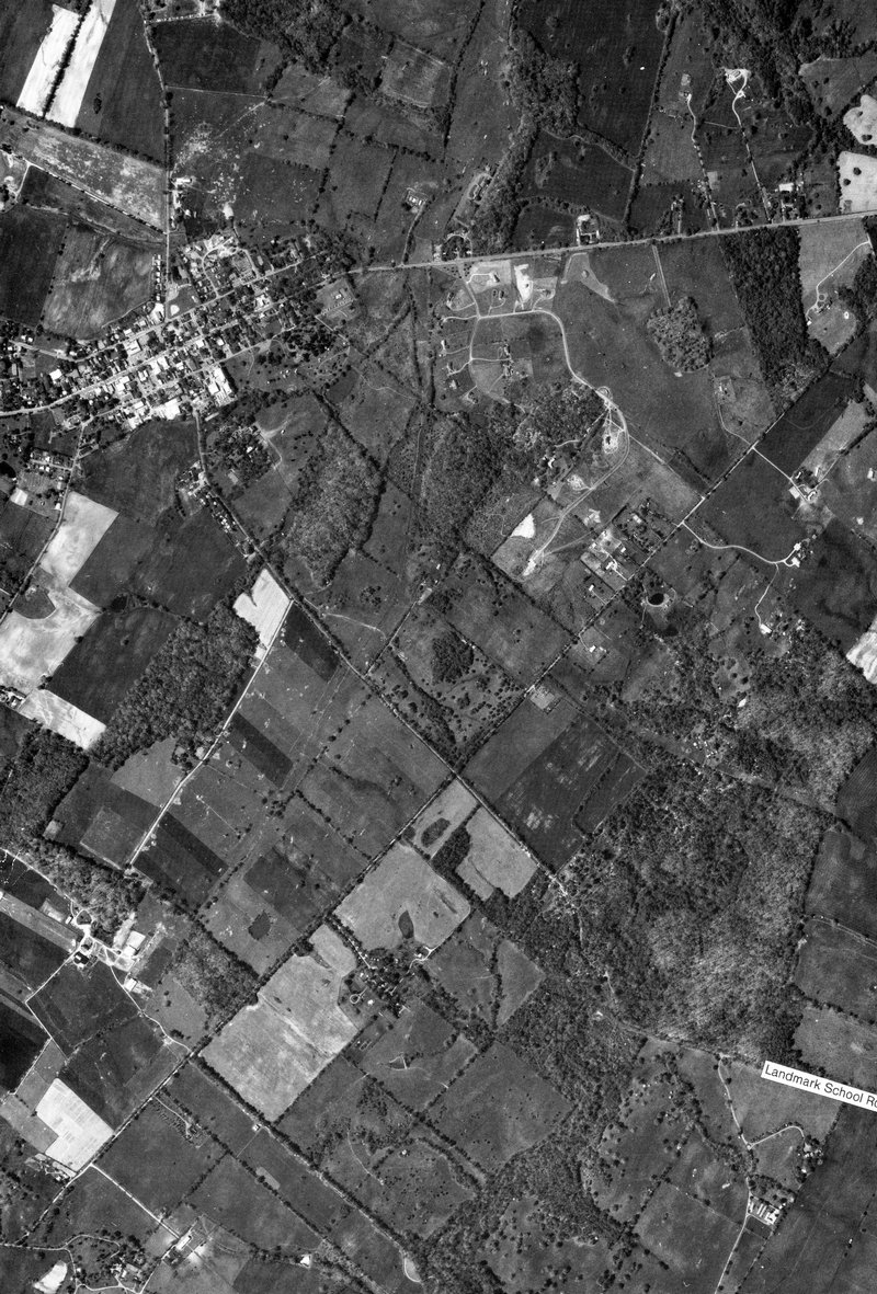
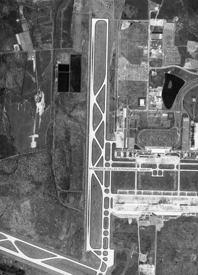
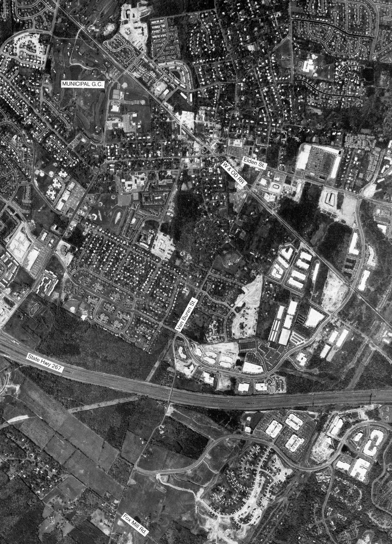
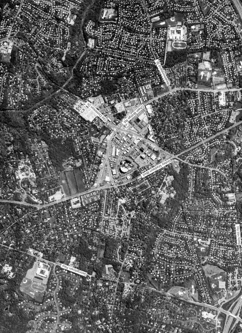
Scans of Aerial Images of Virginia 1987
These are scans of select areas of the images.
To view a lower quality picture of each image view the Virginia Aerials Image page.
Be sure to view the aerial photos from 1937 on the 1937 Virginia Aerials page.
Images from Landis Aerial Photo. These photos might still be copyrighted and should not be used for commercial purposes. They are here for research and personal use and viewing only.
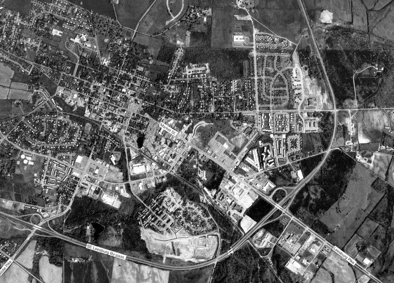
Now the National Conference Center in Leesburg, Virginia -3
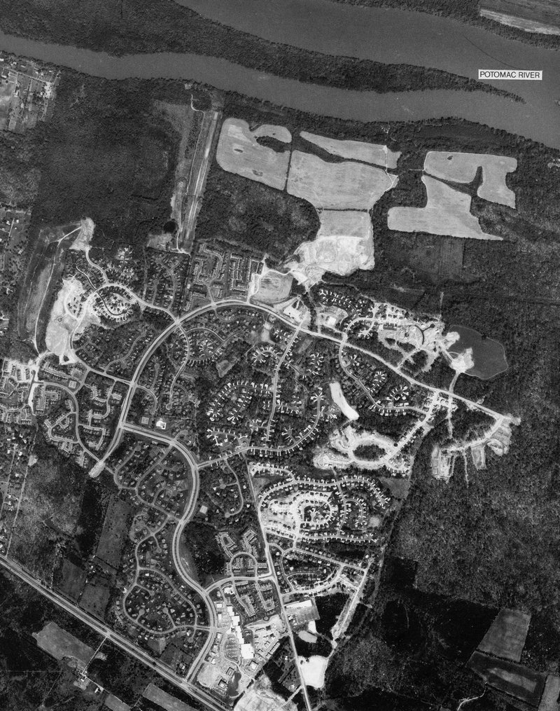
full size Algonkian Parkway near Countryside Elem. School - #4
full size
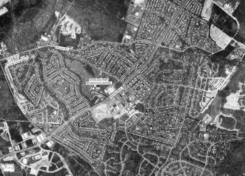
Sterling at Church Road and Atlantic Blvd - #7
full size
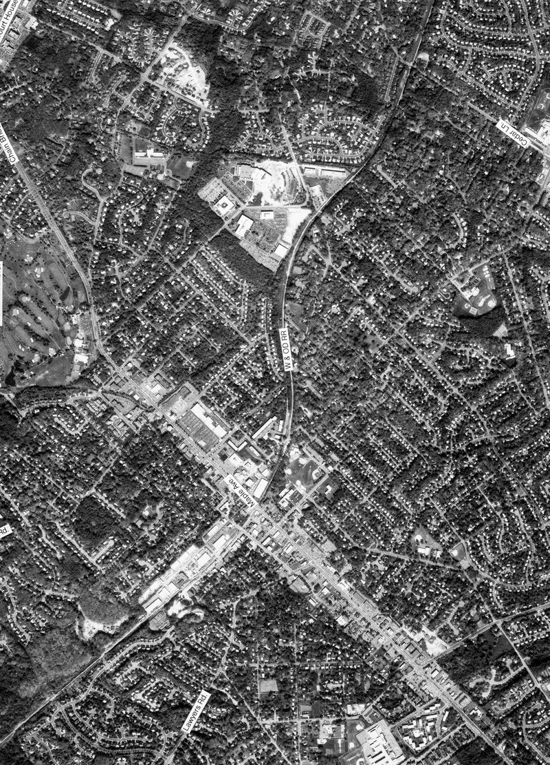
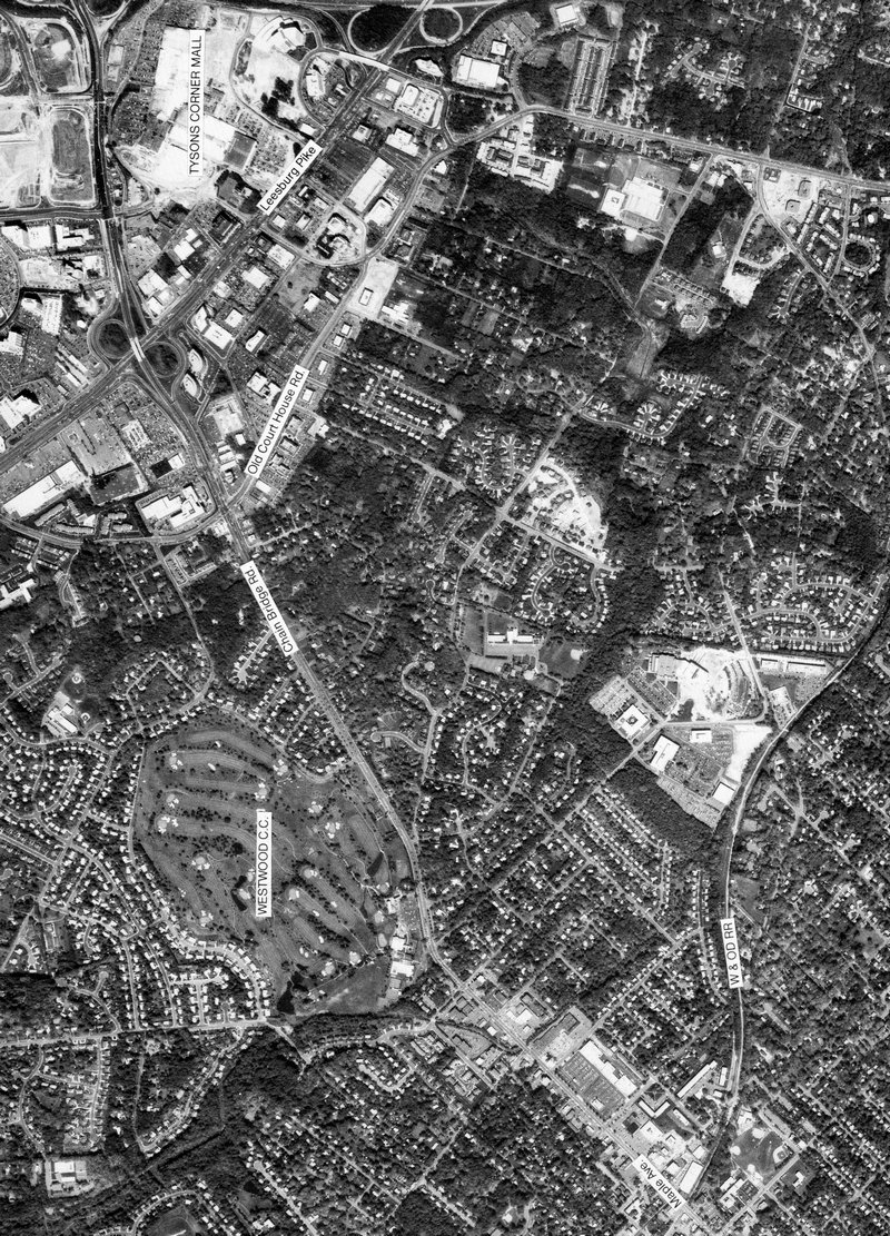
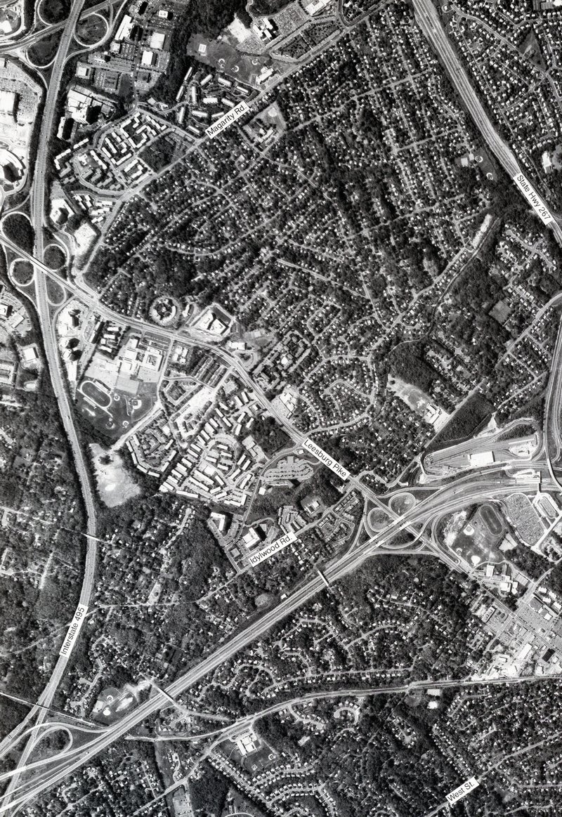
Tysons and West Mclean, Virginia - #18
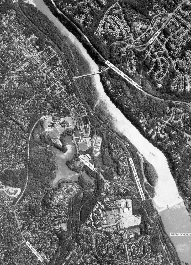
full size East McLean, Chain Bridge and Sibley Memorial Hospital in DC. - #19
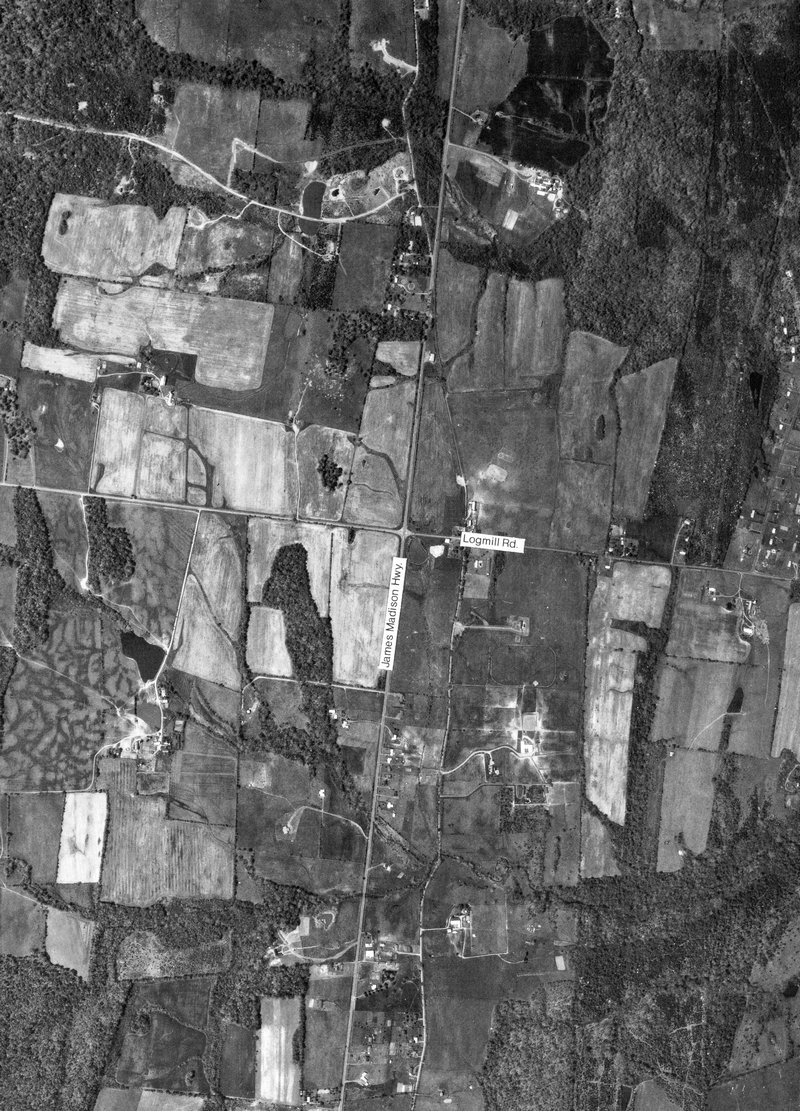
full size Rt. 15 at Logmill Rd. north of Haymarket, Virginia - #20
full size
Rt. 15 on left at Rt. 234 in Woolsey, Virginia - #21
full size Rt. 50 at Stonecroft Blvd. Note the airplane about to land at Dulles. - #22
full size Pleasant Valley Rd. and Braddock Rd. at Cox Farms. - #23
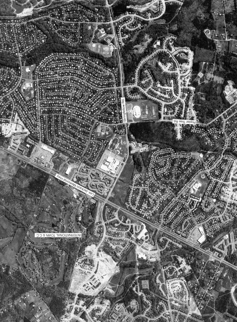
full size Rt 50 and Stringfellow Rd. at Chantilly High School - #24
full size
I-66 and Rt. 123 at Oakton, Virginia - #25
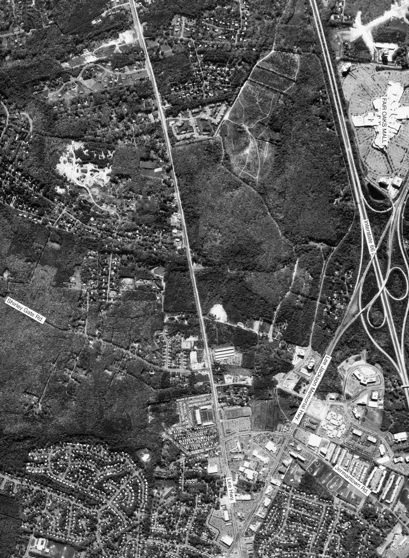
full size Fair Oaks Mall in the lower left - #26
full size
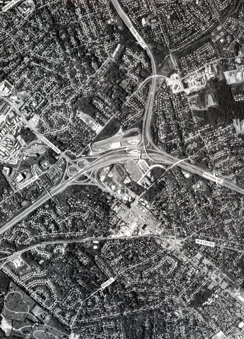
I-66 and I-495 at Merrifield, Virginia - #29
full size West Falls Church Metro Station - #31
full size
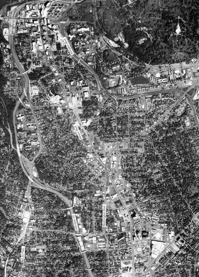
Arlington, Court House, and Rosslyn, Virginia - #33
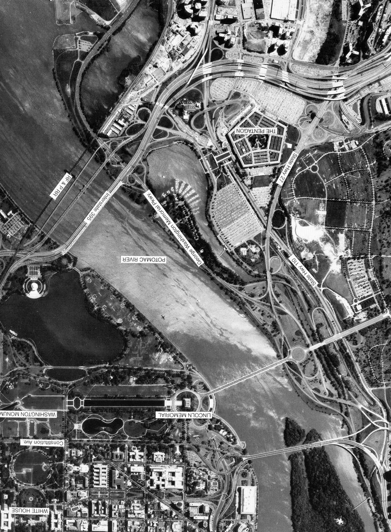
full size National Mall in Washington D.C. - #34
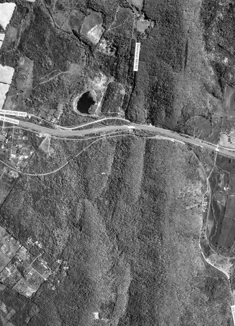
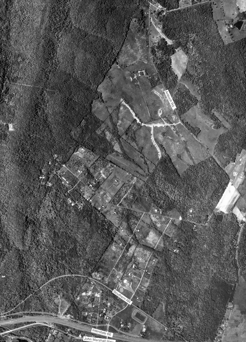
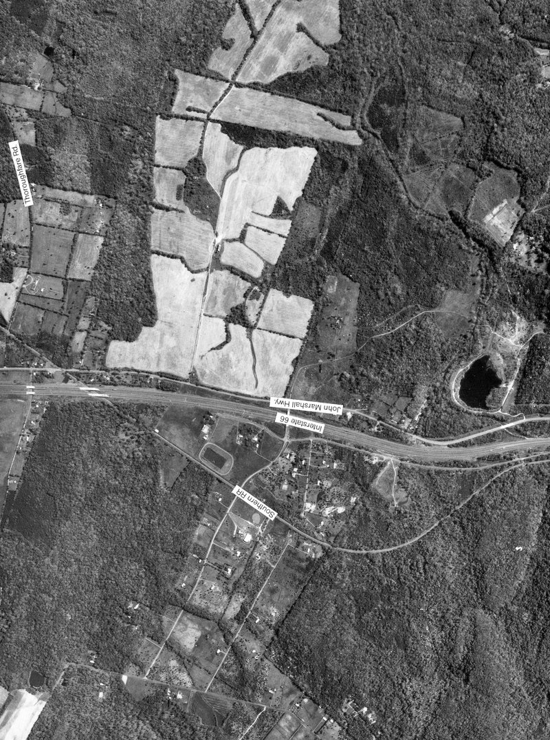
full size I-66 at Bull Run Mountains with Chapman’s Mill - #36
full size
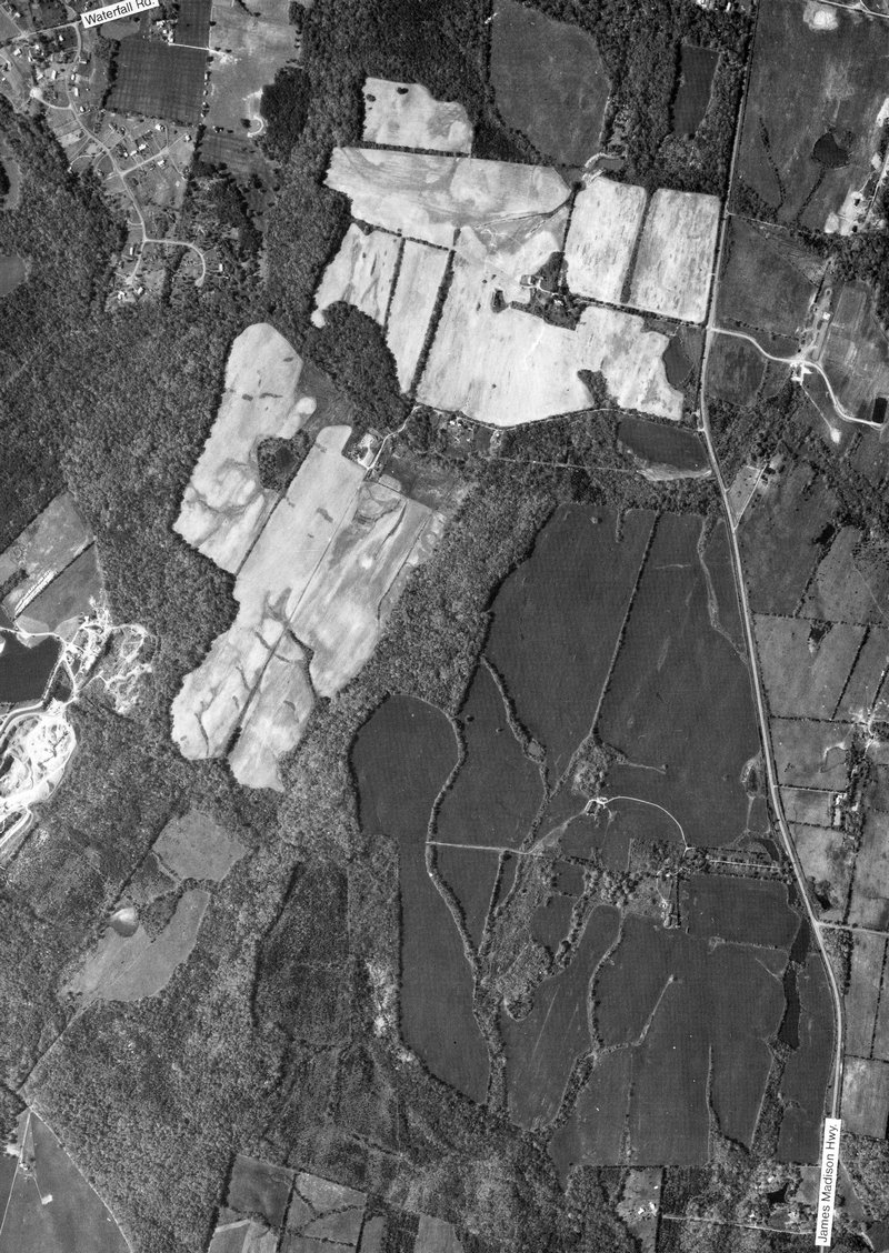
NW Haymarket with LaGrange Winery - #37
full size Cloverland Farm west of Haymarket, Virginia - #38
full size I-66 and Camp Snyder west of Haymarket, Virginia - #39
full size Farm that is now Dominion Valley development, north of Haymarket, Virginia - #40
full size
I-66 and Rt. 15 at Haymarket, Virginia - #41
full size Farm that is now Piedmont Development, east of Haymarket, Virginia - #43
full size Rt. 29 at Manassas National Battlefield Park - #44
full size
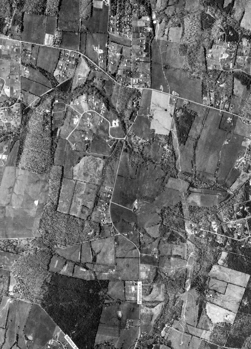
Pageland Lane and Rt. 234 at Catharpin, Virginia - #45
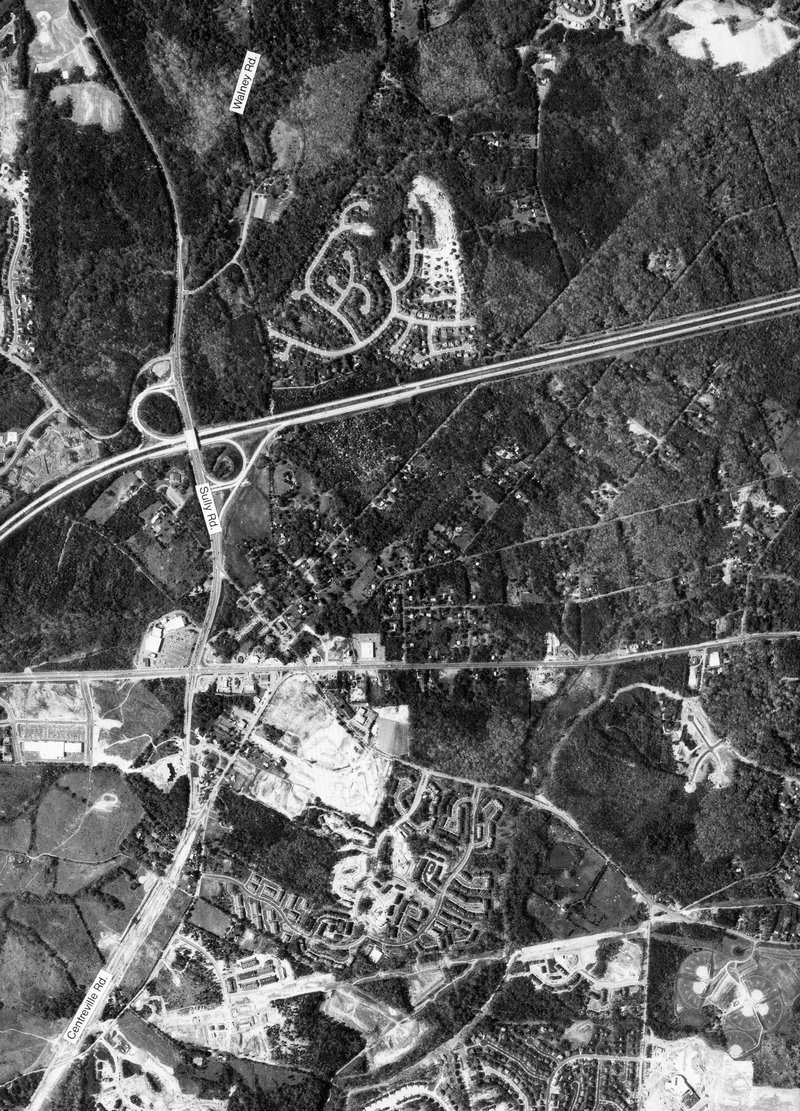
full size Rt. 29 at Luck Stone Quarry, West Centreville, Virginia - #46
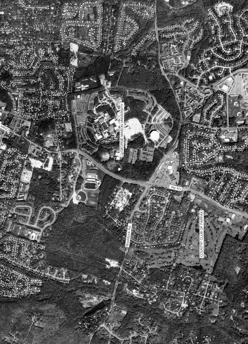
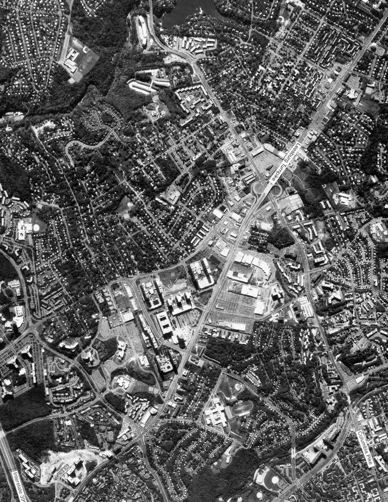
full size George Mason Univ. and Fairfax City, Virginia - #48
full size
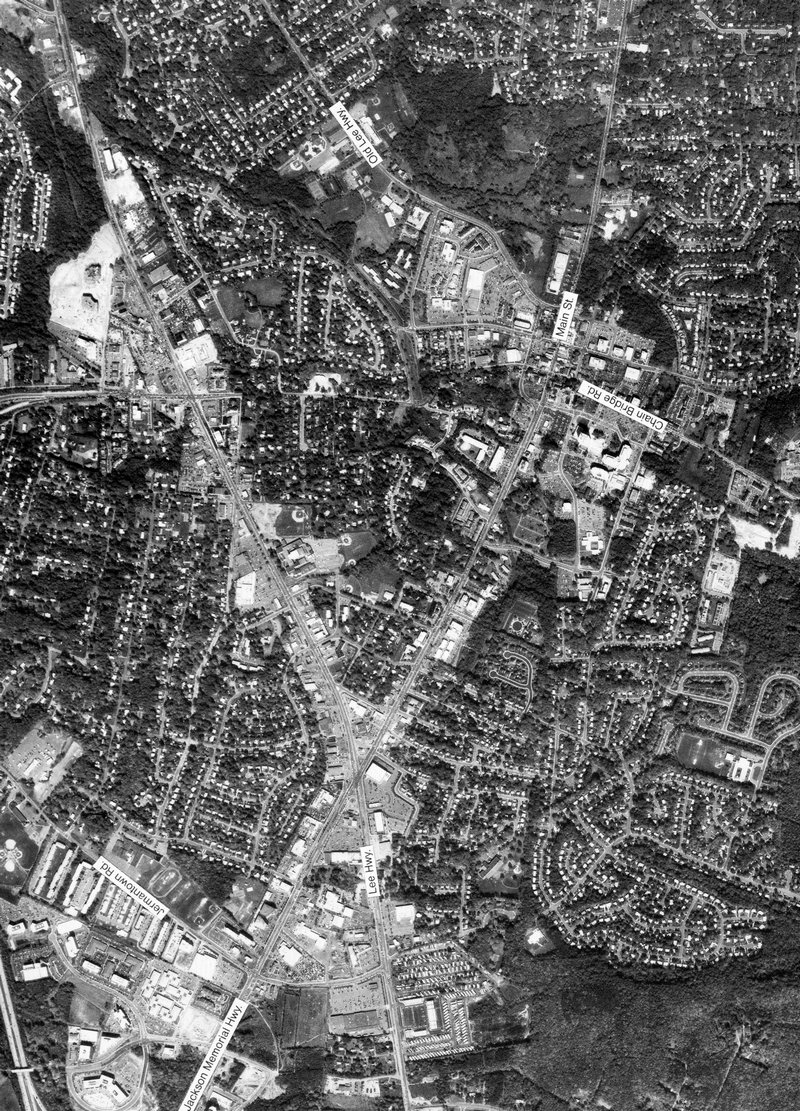
Fair Oaks Mall and west Fairfax, Virginia - #51
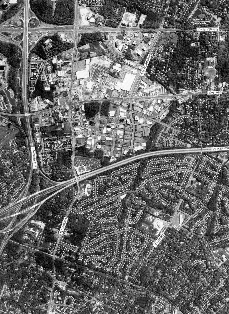
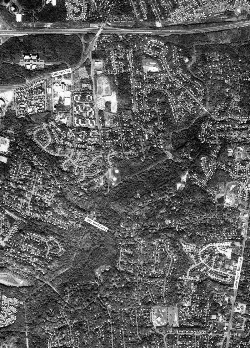
full size I-495 and Gallows Road in Annandale, Virginia - #52
full size
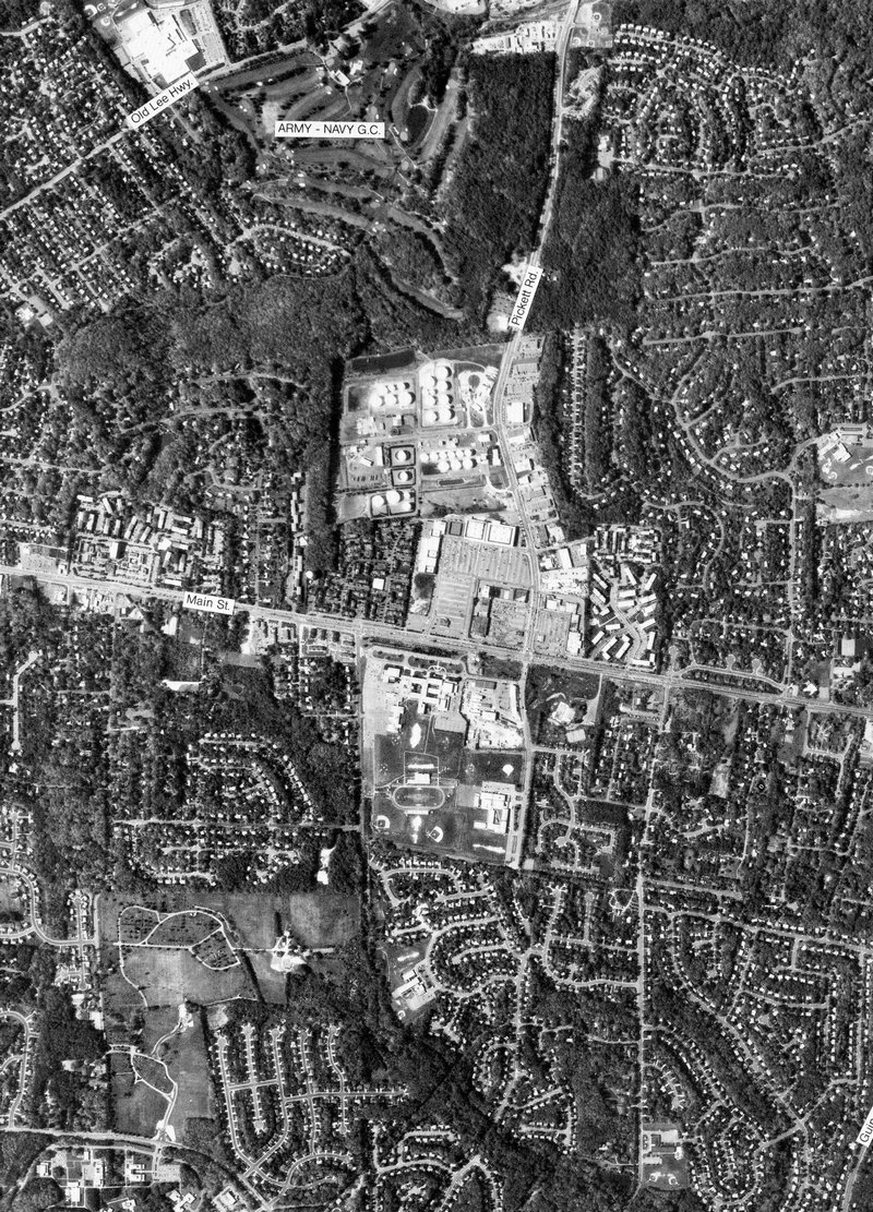
WT Woodson High School in Fairfax, Virginia - #53
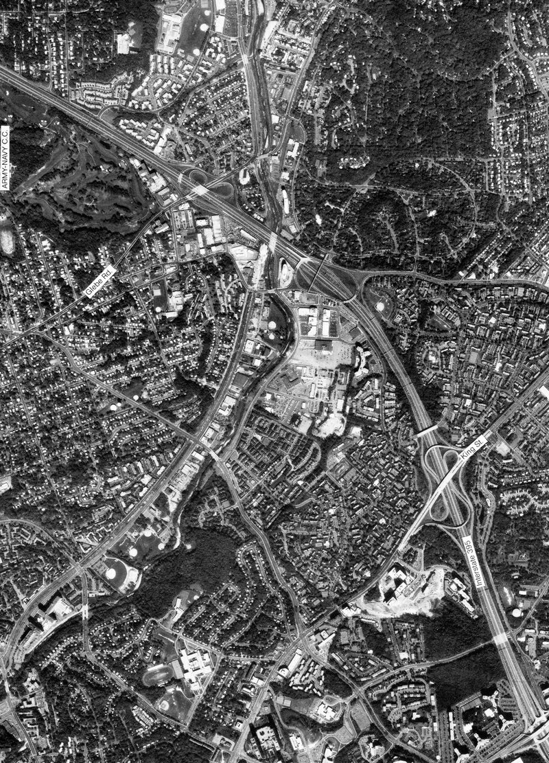
full size I-395 at former Landmark Mall in Alexandria, Virginia - #56
full size
I-395 at Shirlington, Virginia - #57
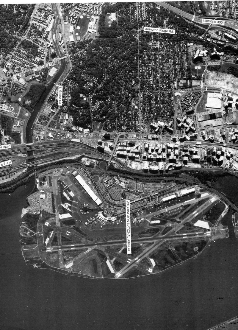
full size Crystal City and Ronald Reagan Washington International Airport - #58
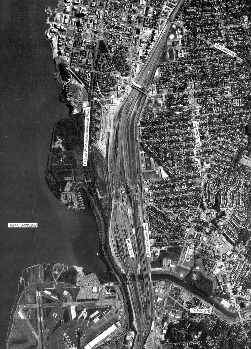
full size Potomac Yard and Del Ray, Alexandria Virginia - #59
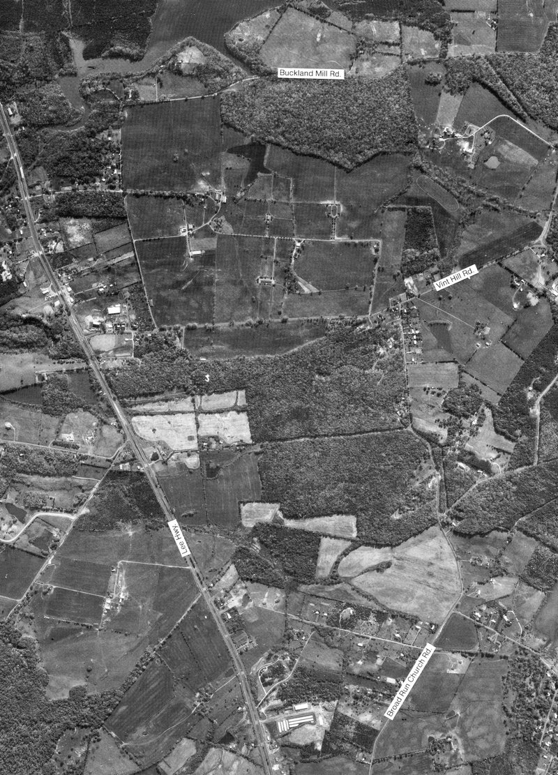
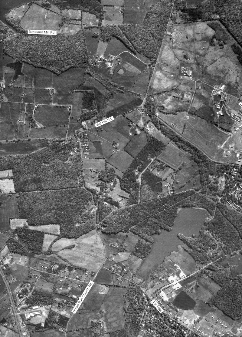
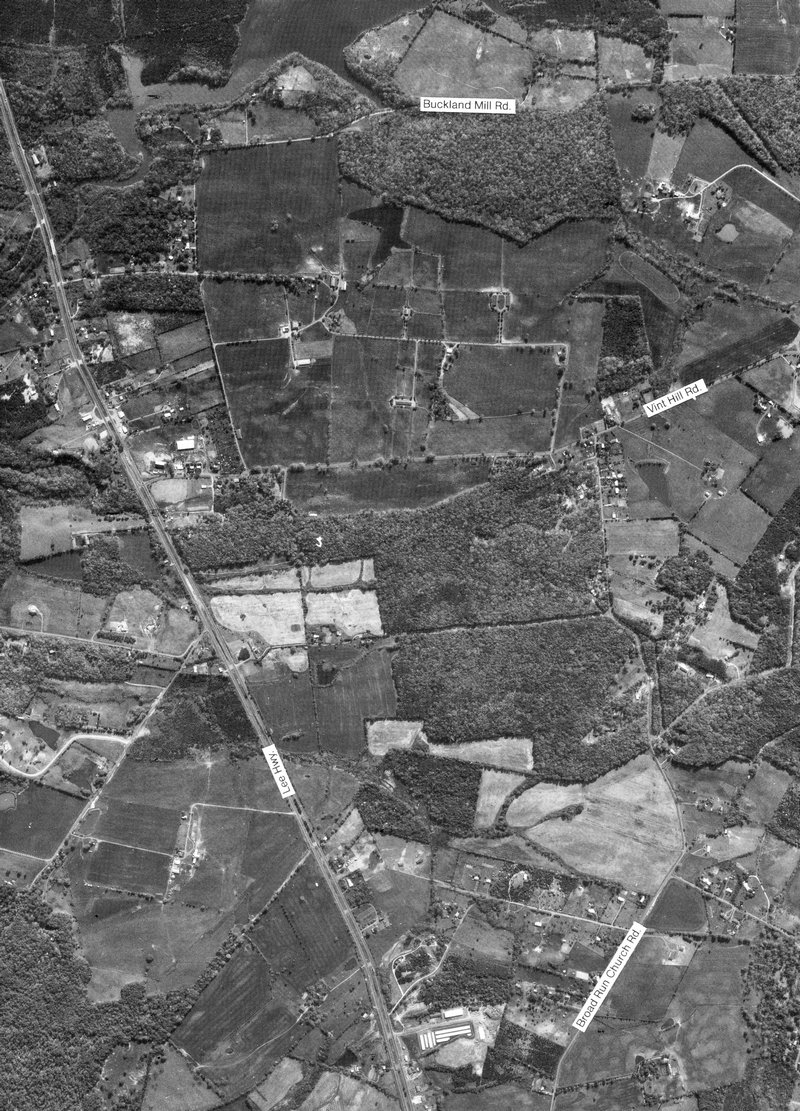
full size Buckland Farm at Rt. 29 and Vint Hill Rd. in Gainesville, Virginia - #60
full size
Buckland Farm at Rt. 29 and Vint Hill Rd. in Gainesville, Virginia - #62
full size
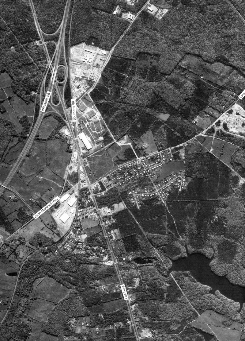
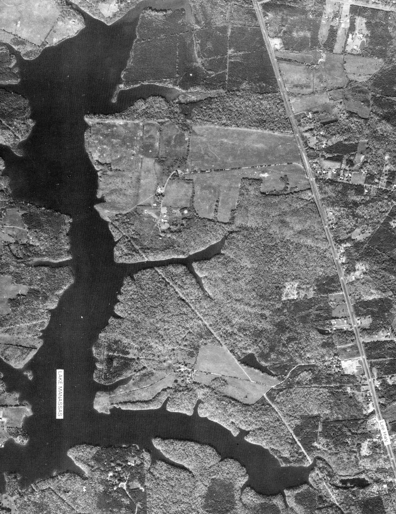
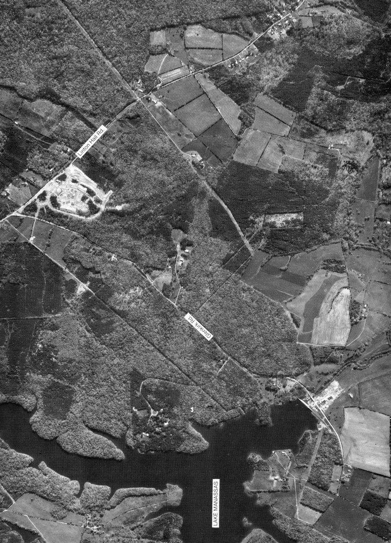
Linton Hall Rd. and Glenkirk Rd. at Lake Manassas, Virginia - #65
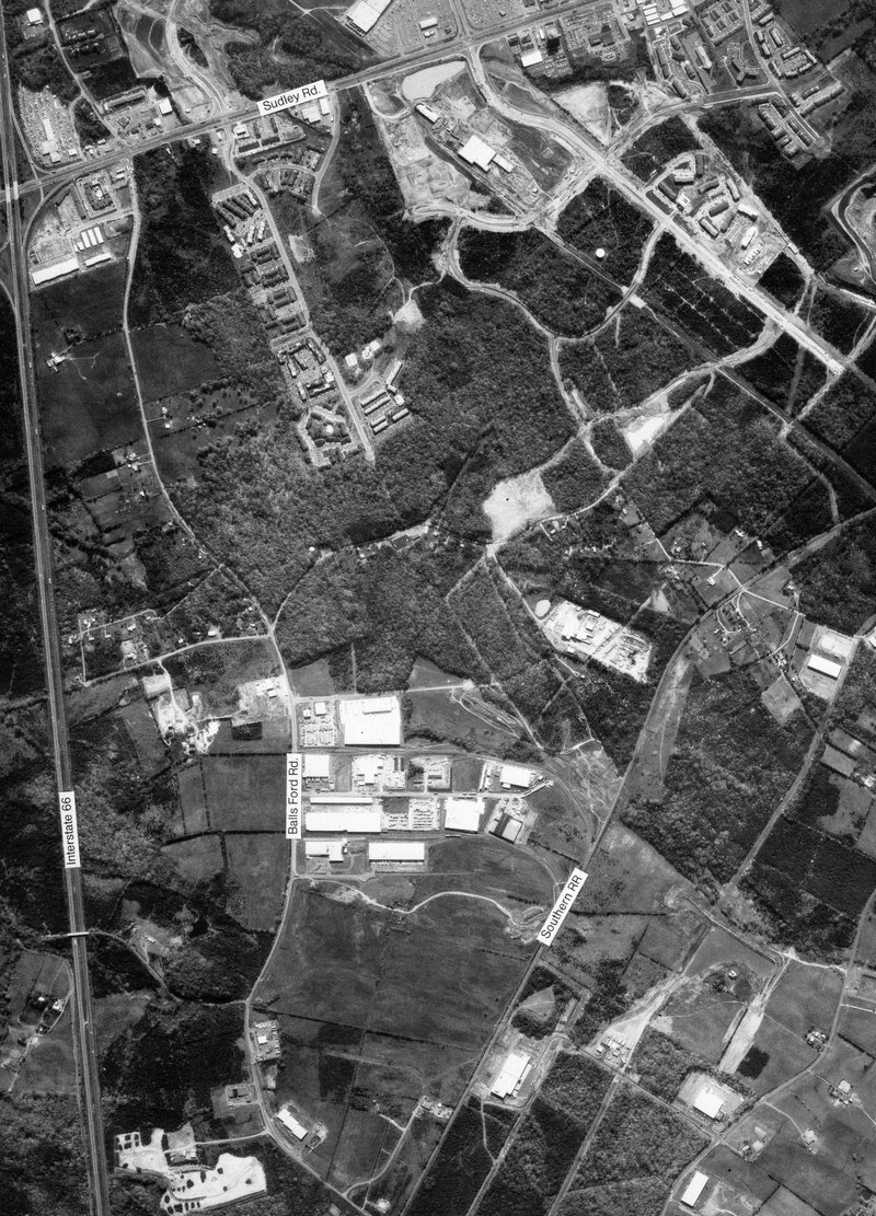
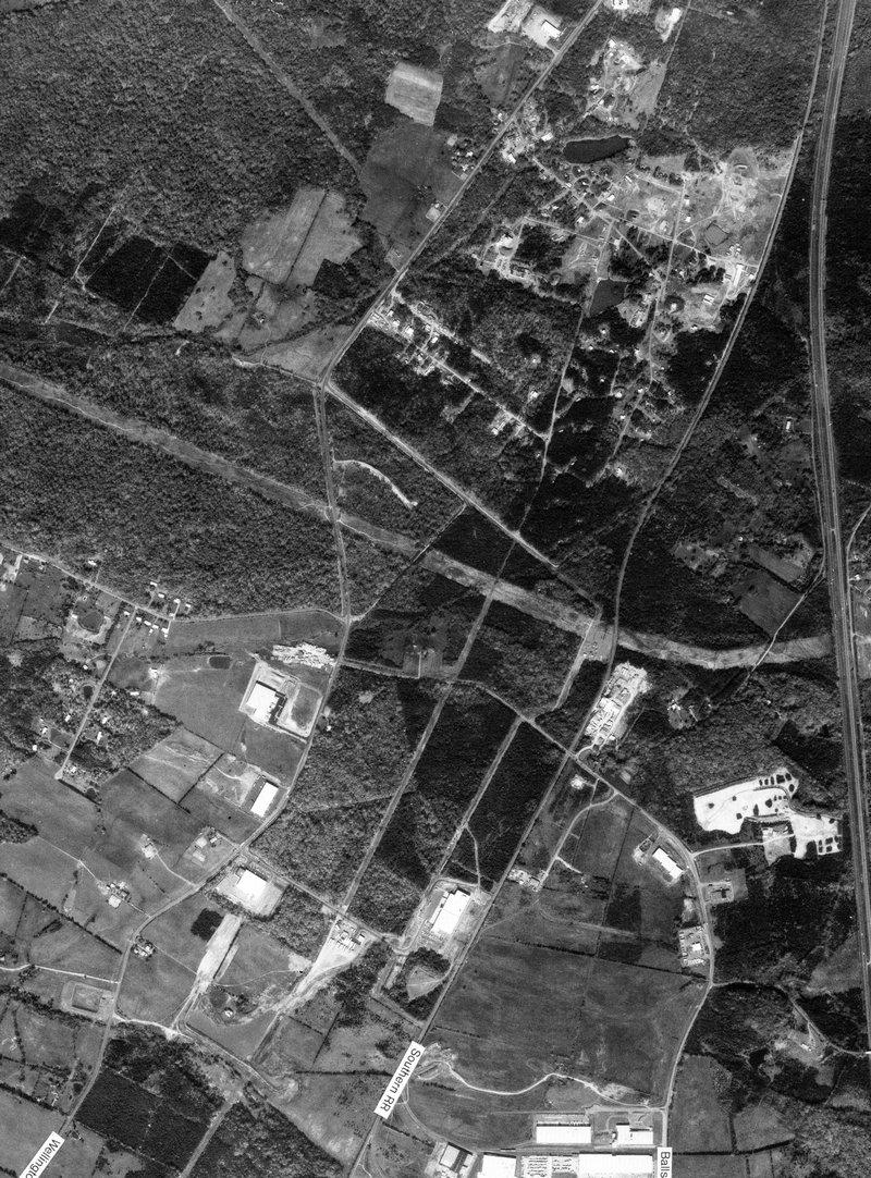
full size I-66 and Balls Ford Rd. at western Manassas, Virginia - #66
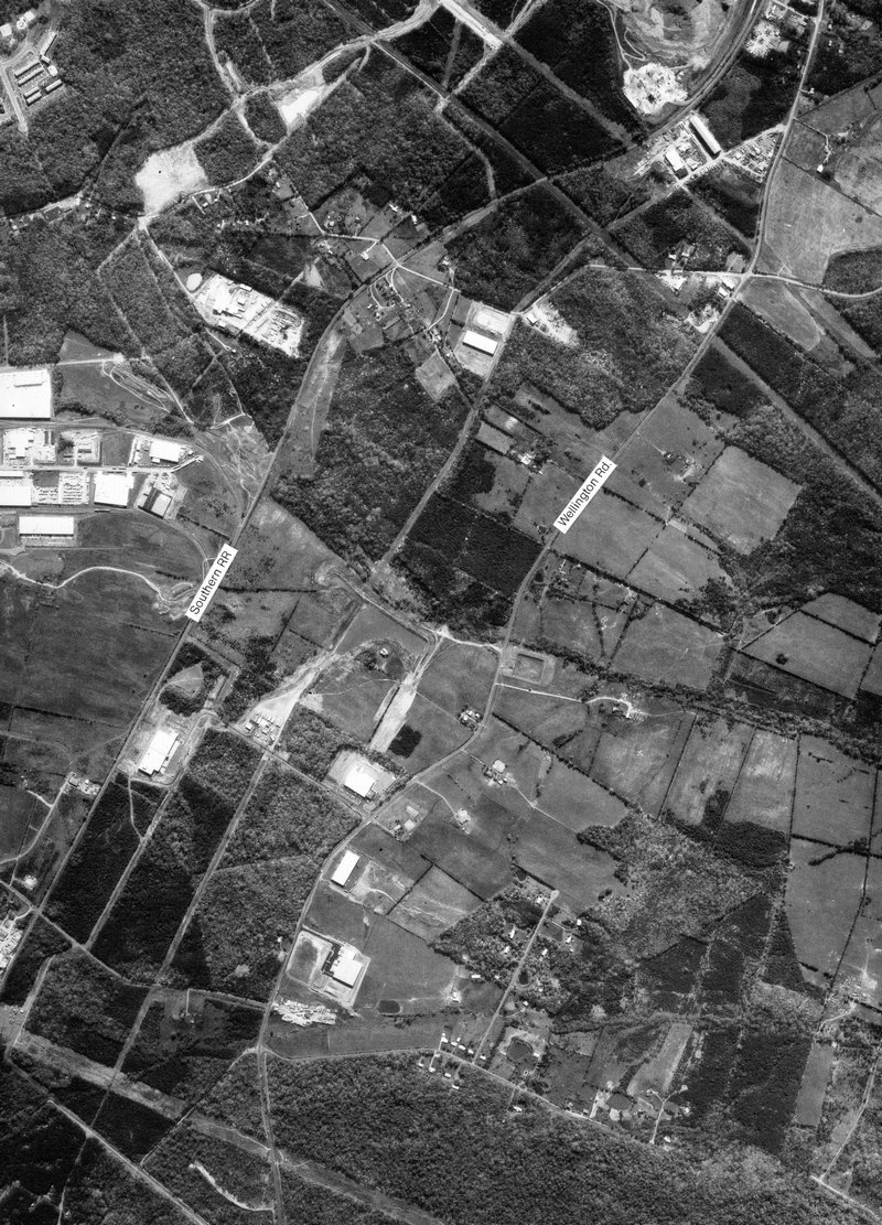
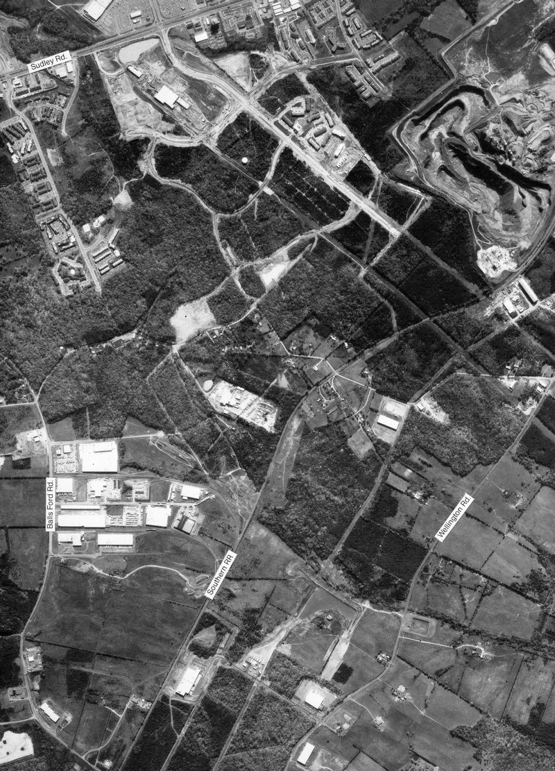
full size Wellington Rd. at southern Manassas, Virginia - #67
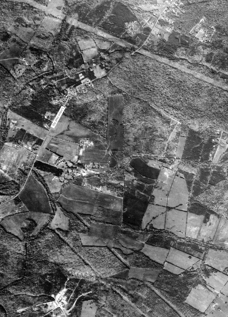
full size Linton Hall Rd. and Linton Hall School at southern Manassas, Virginia - #68
full size
Wellington Rd. and former Atlantic Research facility in Gainesville, Virginia - #69
full size I-66 and Balls Ford Rd. at western Manassas, Virginia - #70
full size Wellington Rd. and Balls Ford Rd. at south west Manassas, Virginia - #71
full size
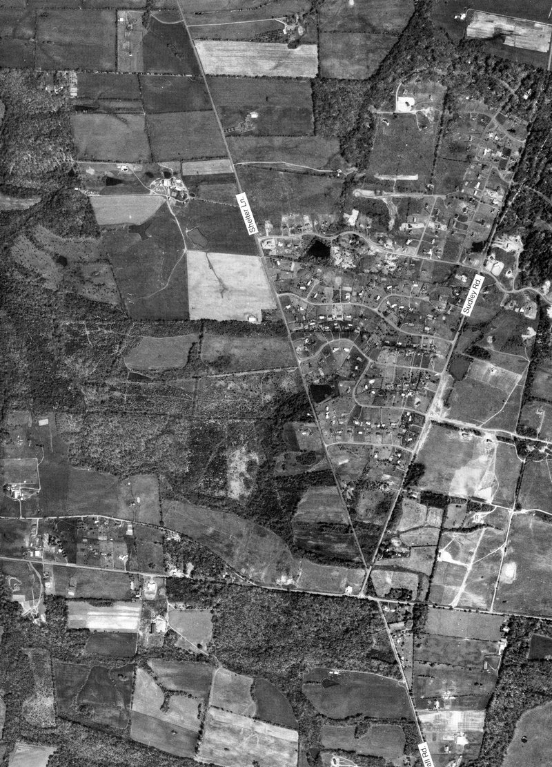
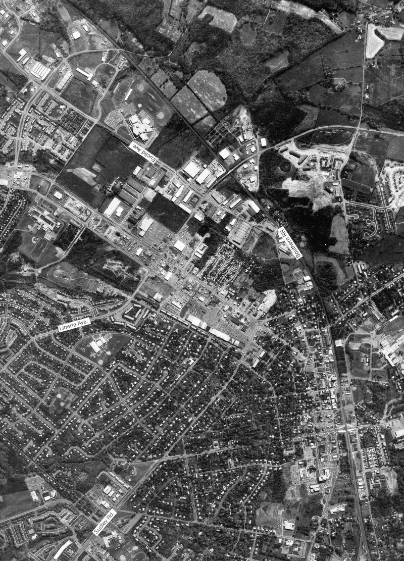
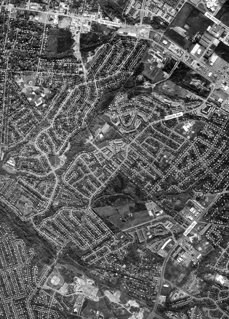
Sudley Rd. and Liberia Rd. at Manassas, Virginia - #73
full size Former IBM Park, now Micron at southern Manassas - #74
full size
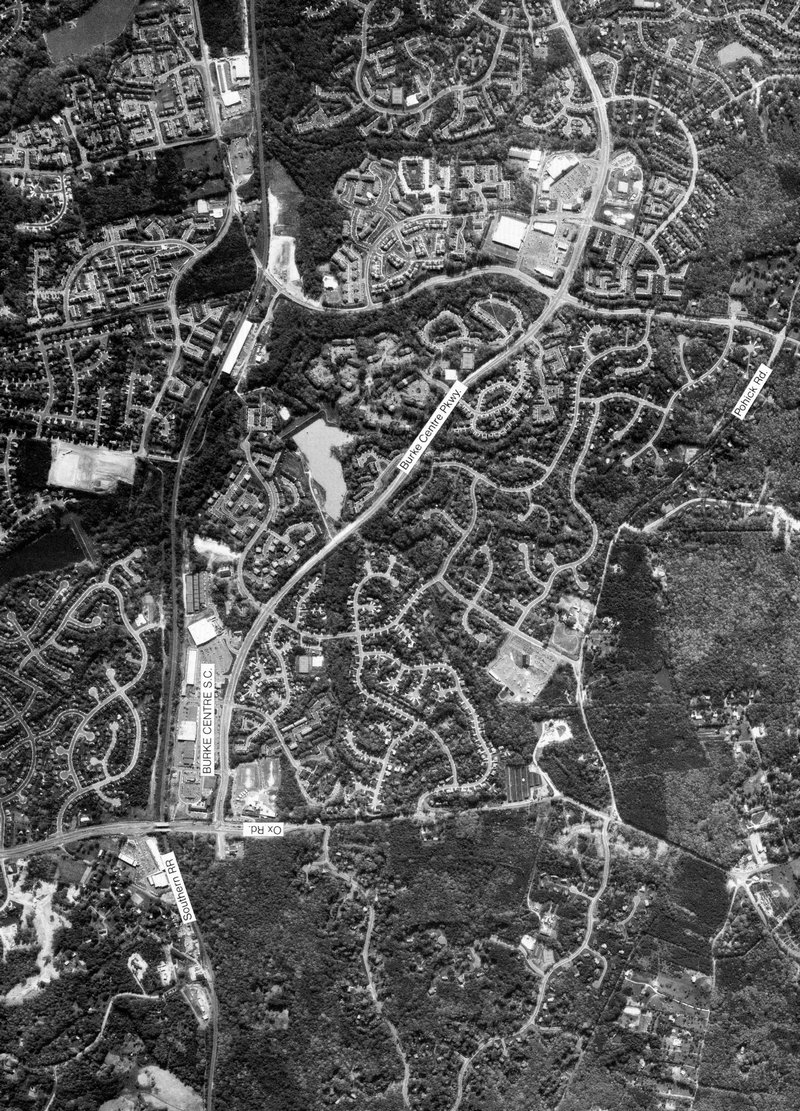
Burke Centre Shopping Center and Fairview Elementary School, Burke, Virginia - #77
full size Old Keene Mill Shopping Center at West Springfield, Virginia - #78
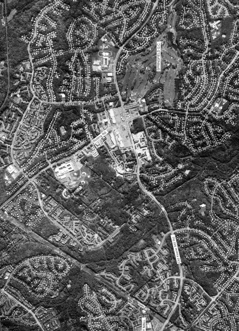
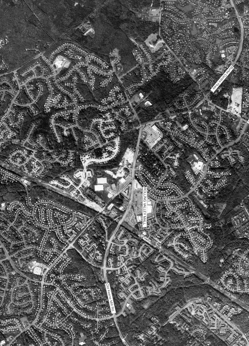
full size Rolling Valley Mall at Old Keene Mill Road in Burke, Virginia - #79
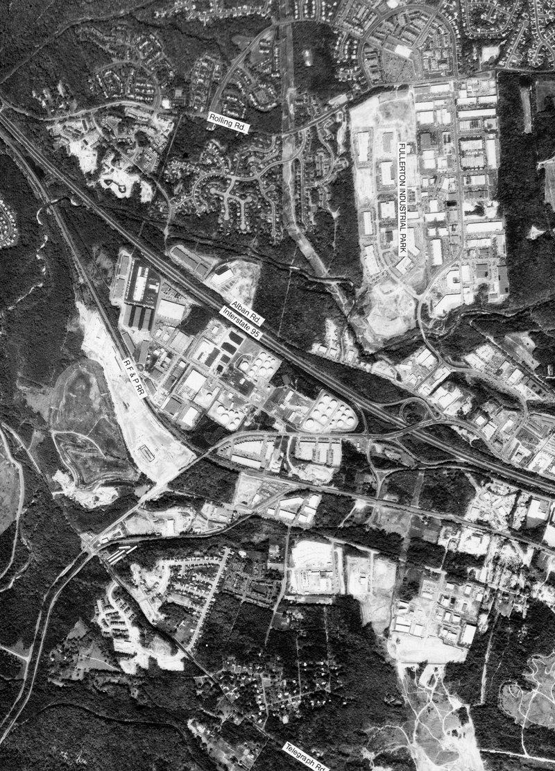
full size I-495, 95, and 395 interchange - #80
full size
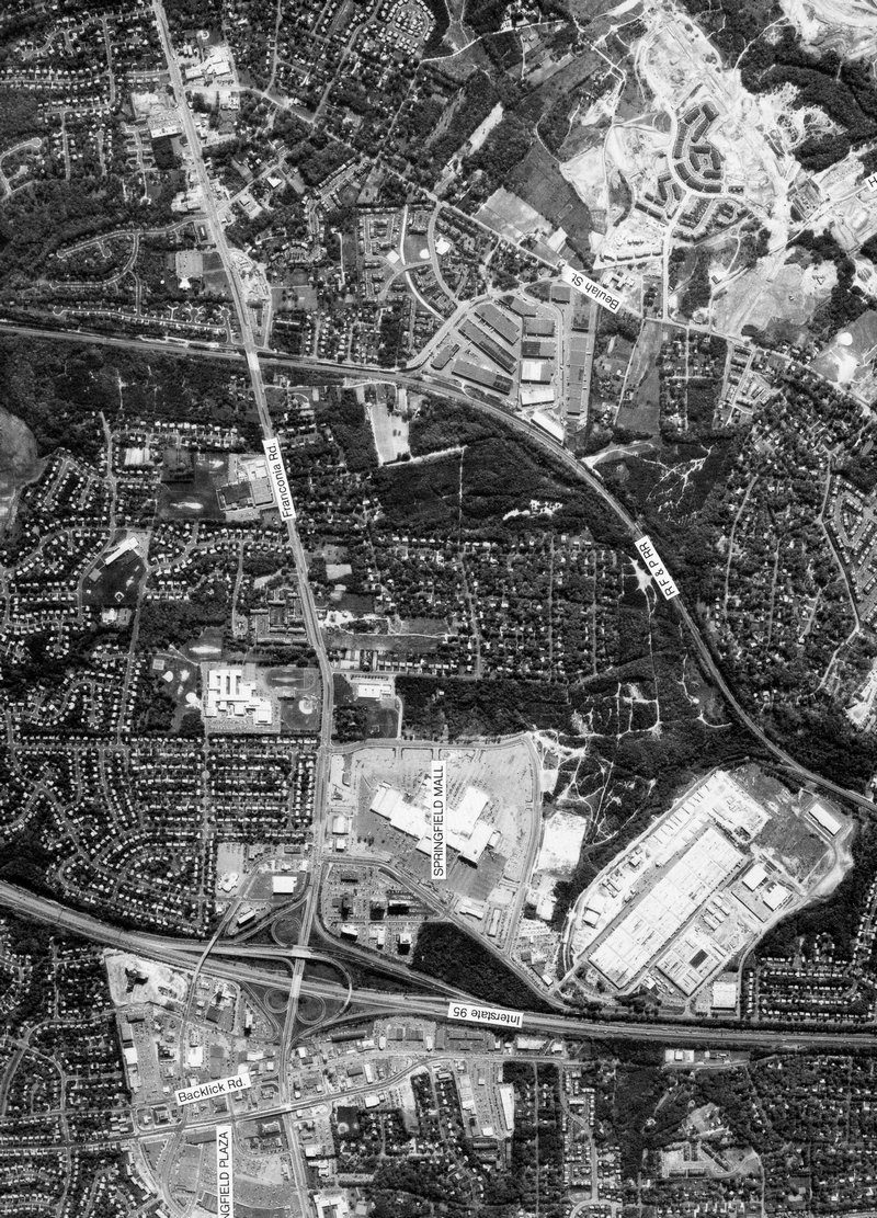
I-95 and Rt. 644 at Springfield Mall, Springfield, Virginia - #81
full size Rt. 1 at Lowes in Alexandria, Virginia - #82
full size I-495 and Van Dorn St. in western Alexandria, Virginia - #84
full size
I-495 at Wilson Bridge and southern Old Town Alexandria, Virginia - #85
full size Southern Vint Hill development at Vint Hill, Virginia - #86
full size
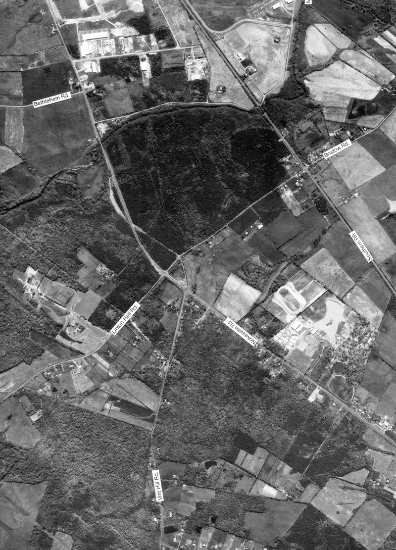
Rt. 28 and Linton Hall Rd. at Bristow, Virginia - #89
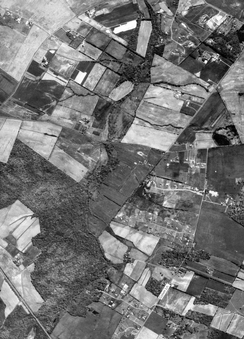
full size Colvin Lane and Pleasant Valley Road at Nokesville Virginia - #90
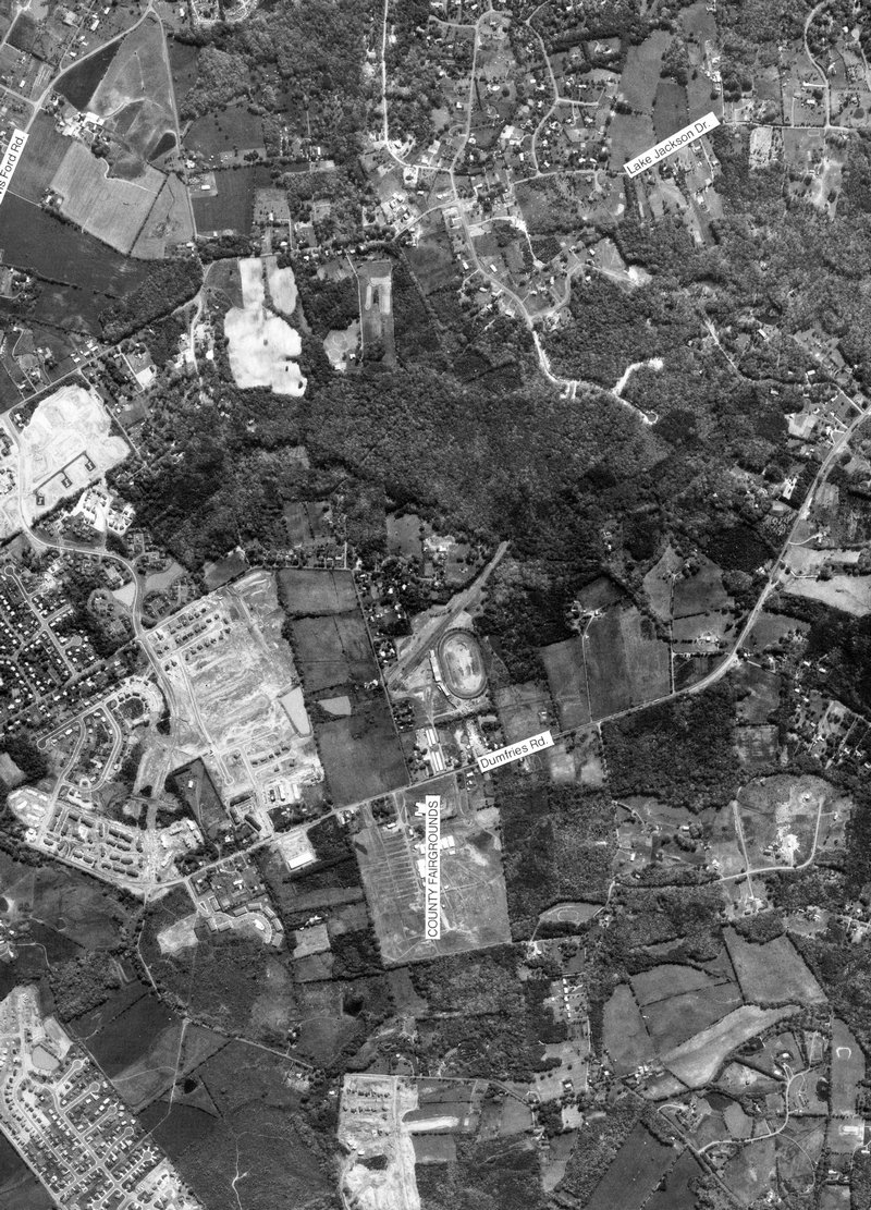
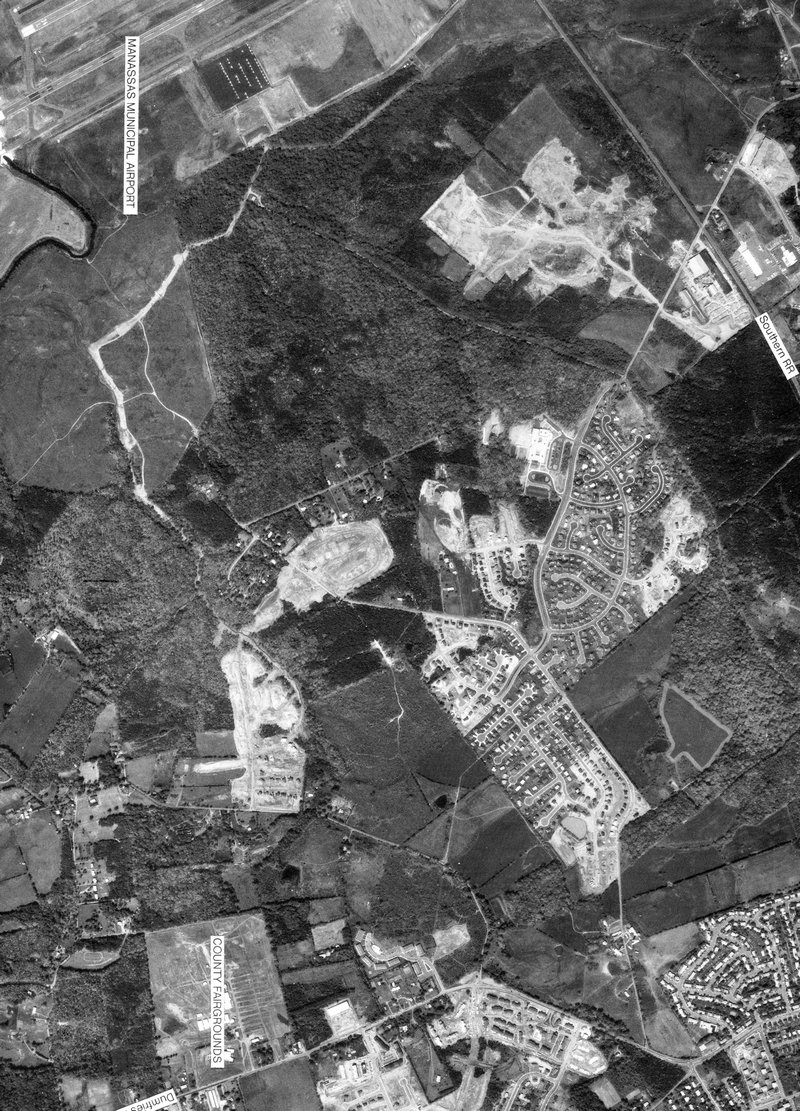
full size Old Rt. 234, County Fairgrounds, and Former Old Dominion Speedway - #91
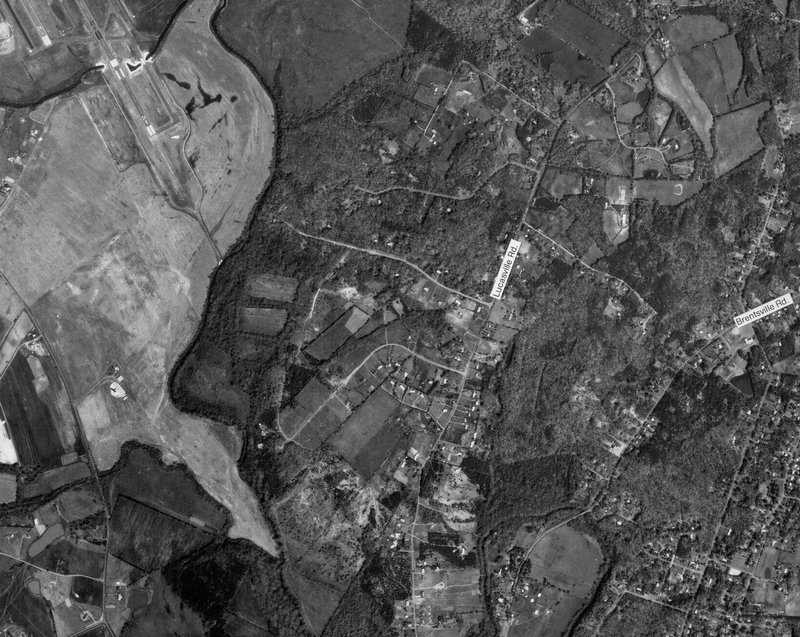
full size Lucasville Road south east of Manassas, Virginia - #92
full size
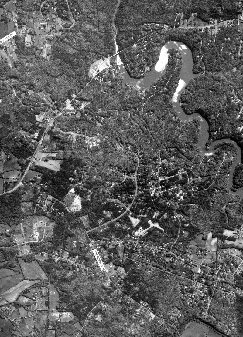
Lake Jackson development near Manassas, Virginia - #93
full size South east Manassas and Buck Hall, Virginia - #94
full size Hastings Road and development in middle of nowhere, Manassas Virginia - #95
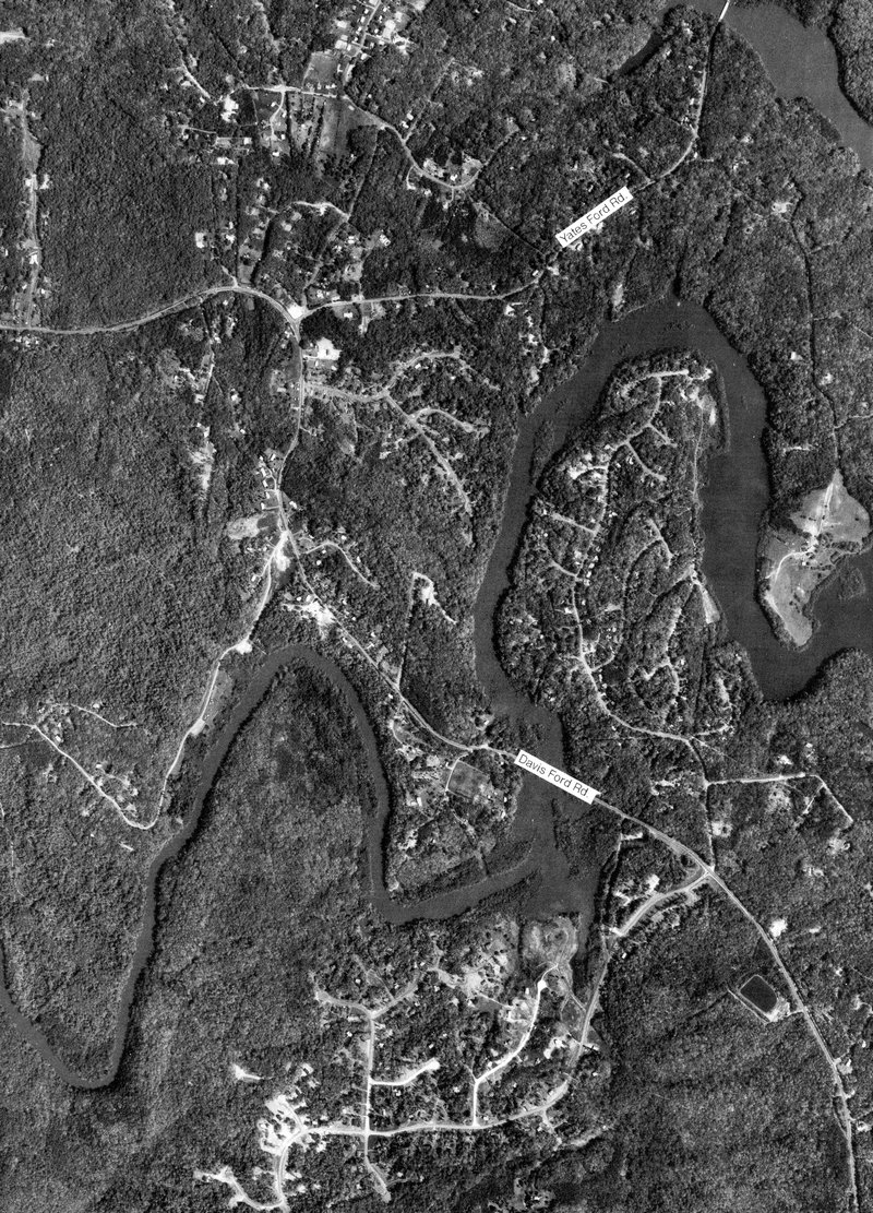
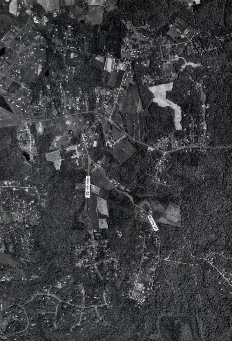
full size Davis Ford Road and Yates Ford Road near Manassas, Virginia - #96
full size
Former Davis Ford Road at Buck Hall, Virginia - #97
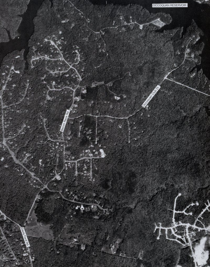
full size Bacon Race Road near Manassas, Virginia - #98
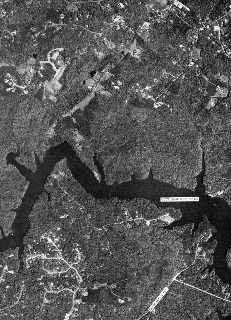
full size Bacon Race Road near Manassas, Virginia - #99
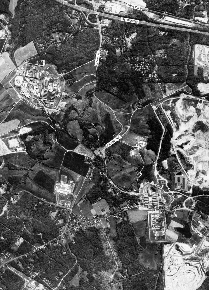
full size Rt. 123 and former Lorton Prison in Lorton, Virginia - #100
full size
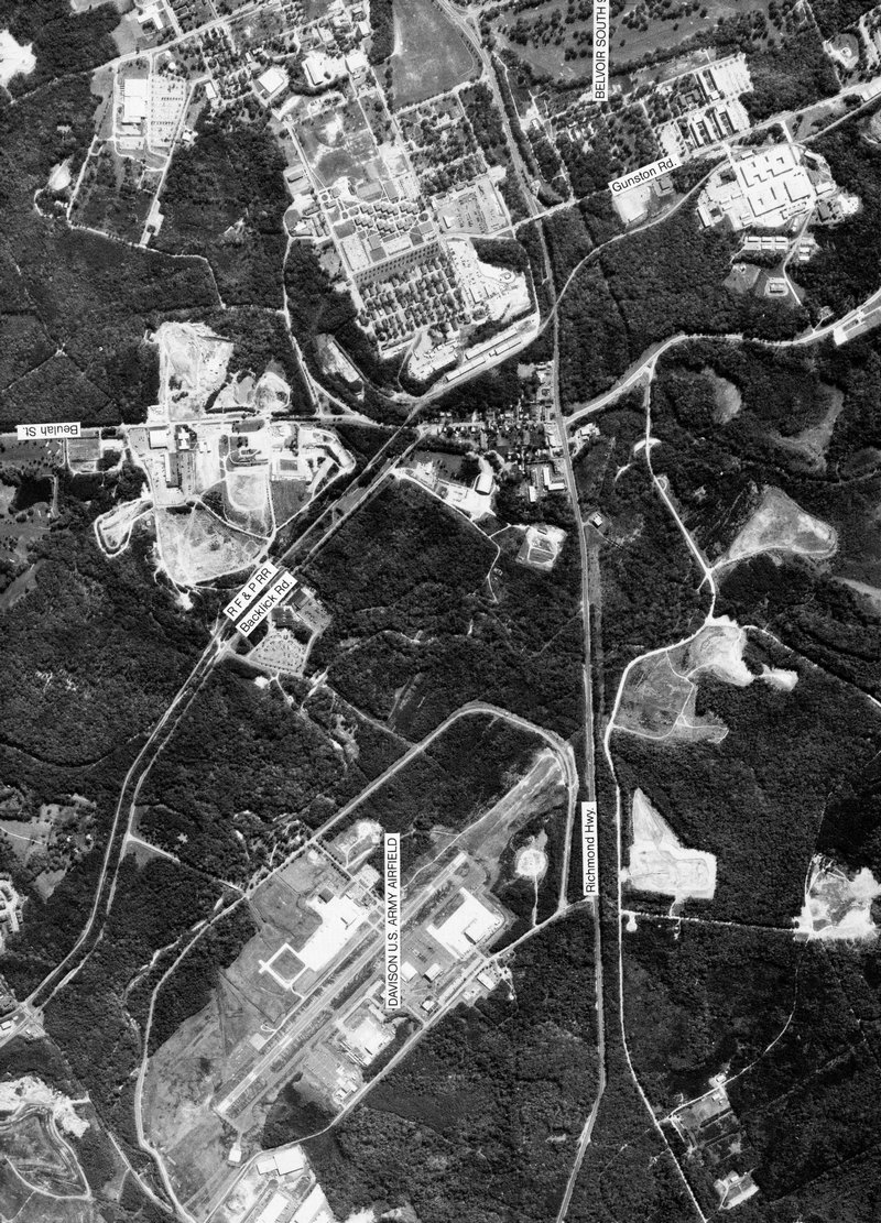
Fort Belvoir in Fairfax, Virginia - #101
full size I-95 and Fairfax County Parkway in Lorton, Virginia - #102
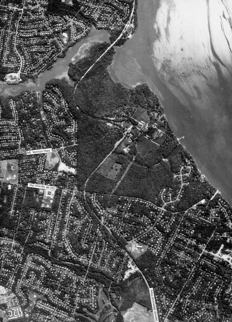
full size Mount Vernon, home of George Washington - #103
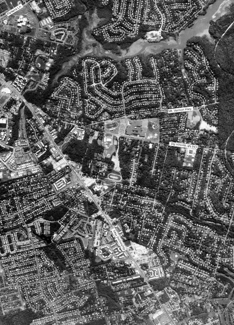
full size Mount Vernon High School in Alexandria, Virginia - #104
full size
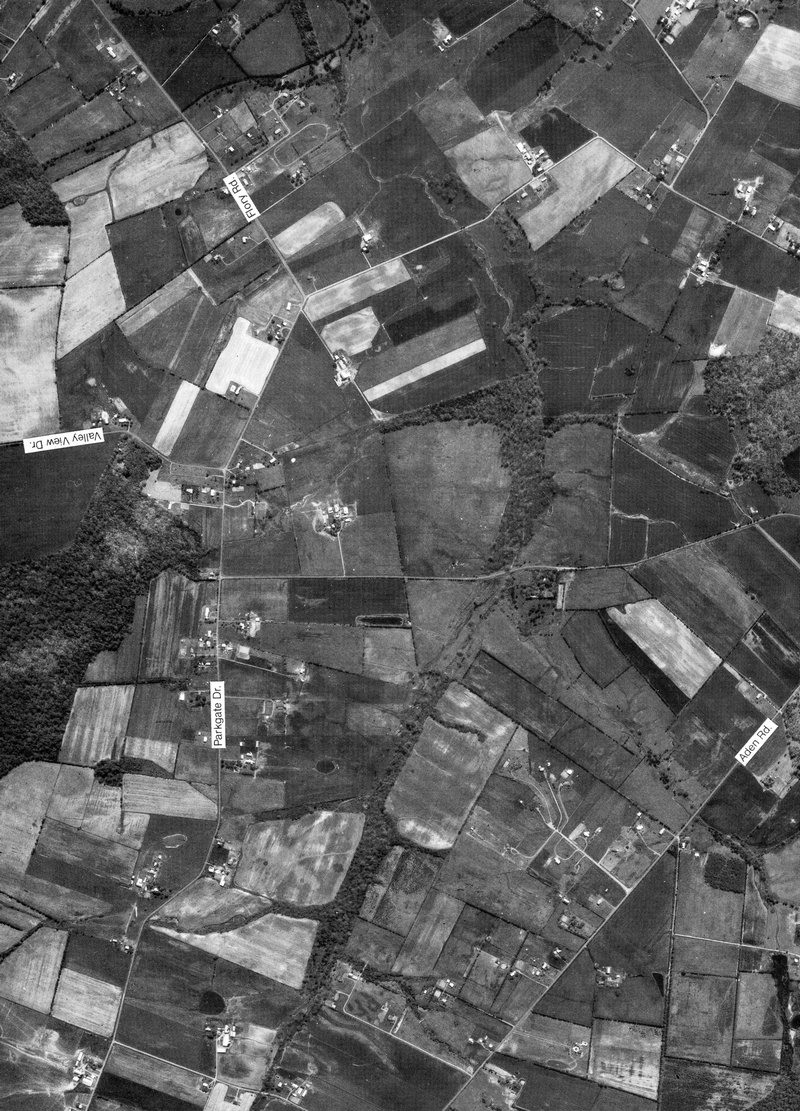
Parkgate Drive near Nokesville, Virginia - #105
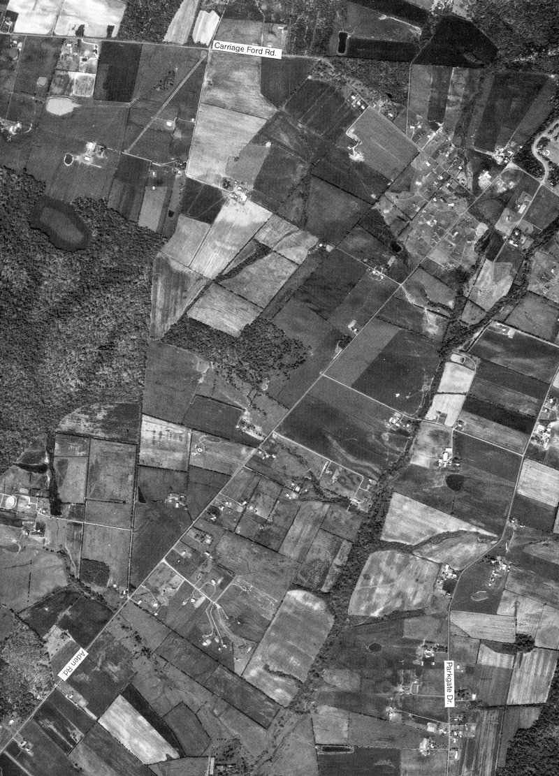
full size Aden Road near Nokesville, Virginia - #106
full size Hazelwood Road near Nokesville, Virginia - #107
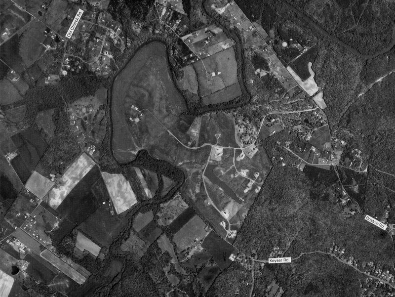
full size Keyser Road and Windy Hill Neighborhood, Nokesville, Virginia - #108
full size
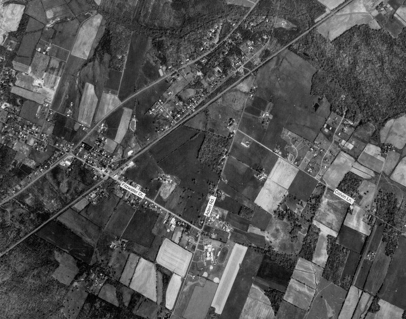
Aden Road near Nokesville, Virginia - #109
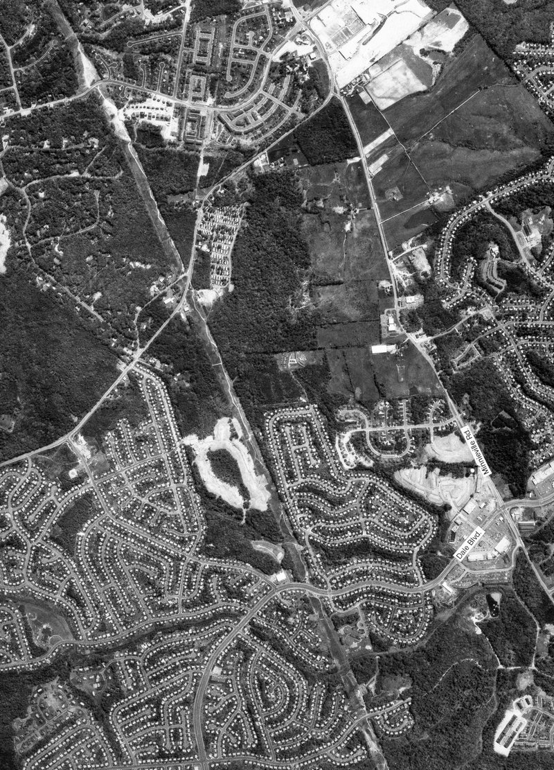
full size Minnieville, Spriggs Roads and Dale Blvd. Princedale Road under construction - #110
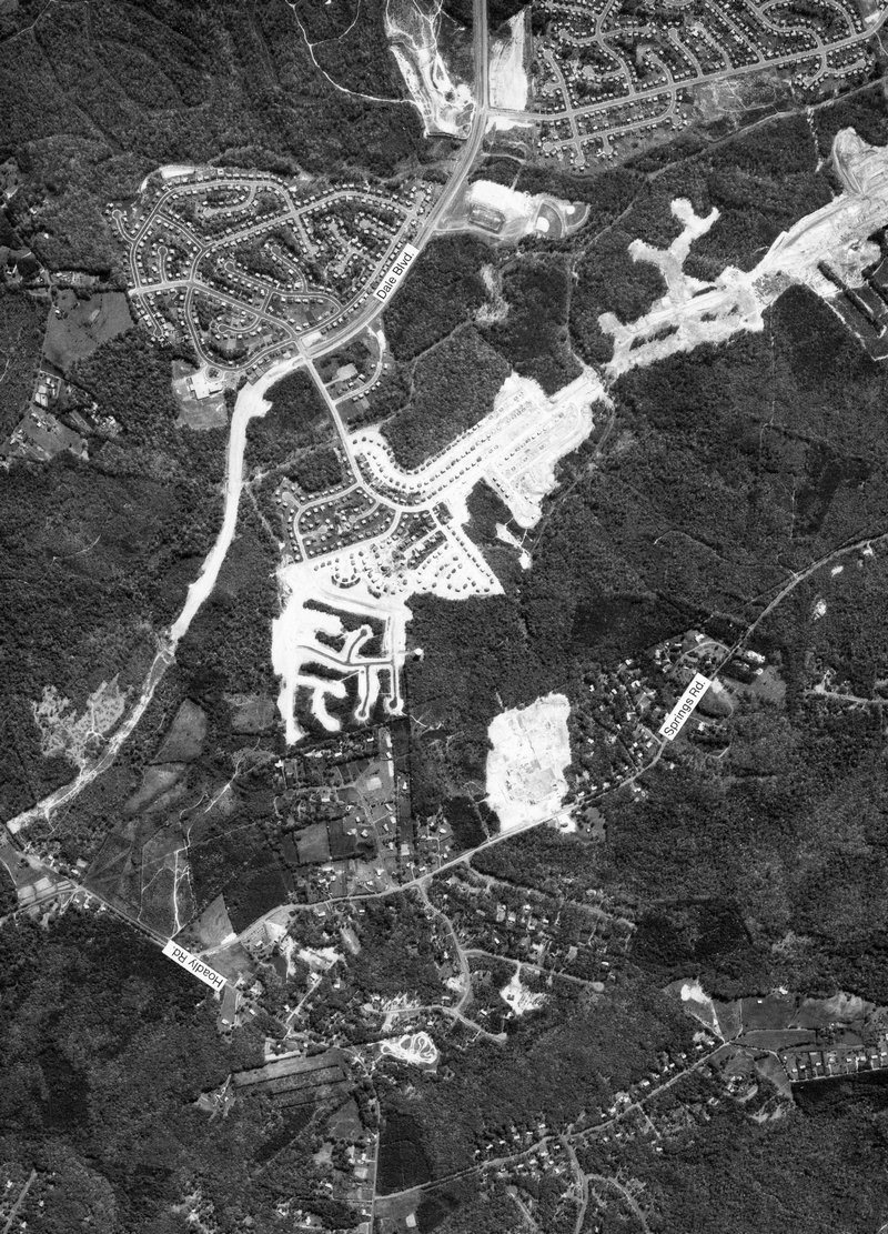
full size Dale Blvd. and Hoadly Rd. Princedale Road under construction - #111
full size Hoadly Road and Purcell Road in western Dale City, Virginia - #112
full size
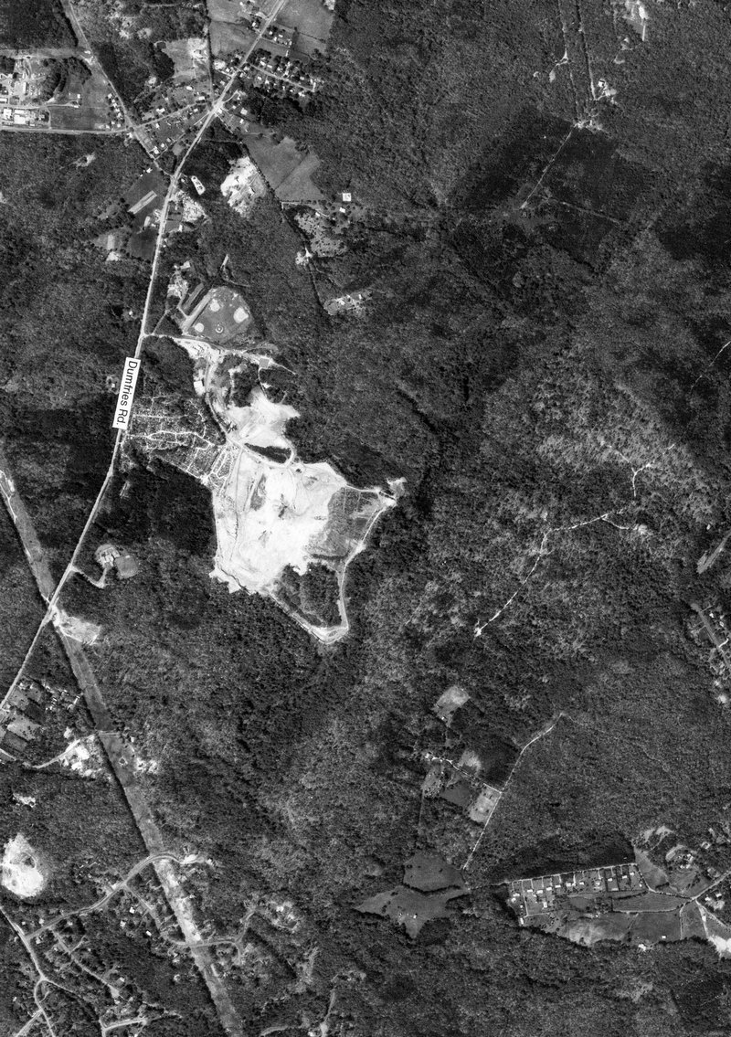
Prince William County Landfill near Manassas, Virginia - #113
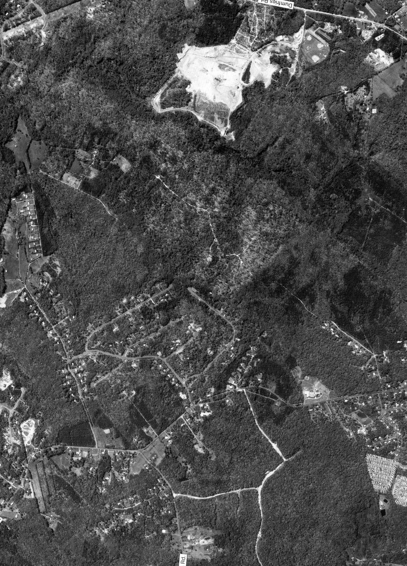
full size Prince William County Landfill and Hoadly Road - #114
full size Prince William County Landfill near Manassas, Virginia - #115
full size Lake Ridge Virginia with former Woodbridge Airport at top center - #116
full size
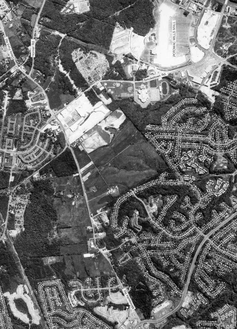
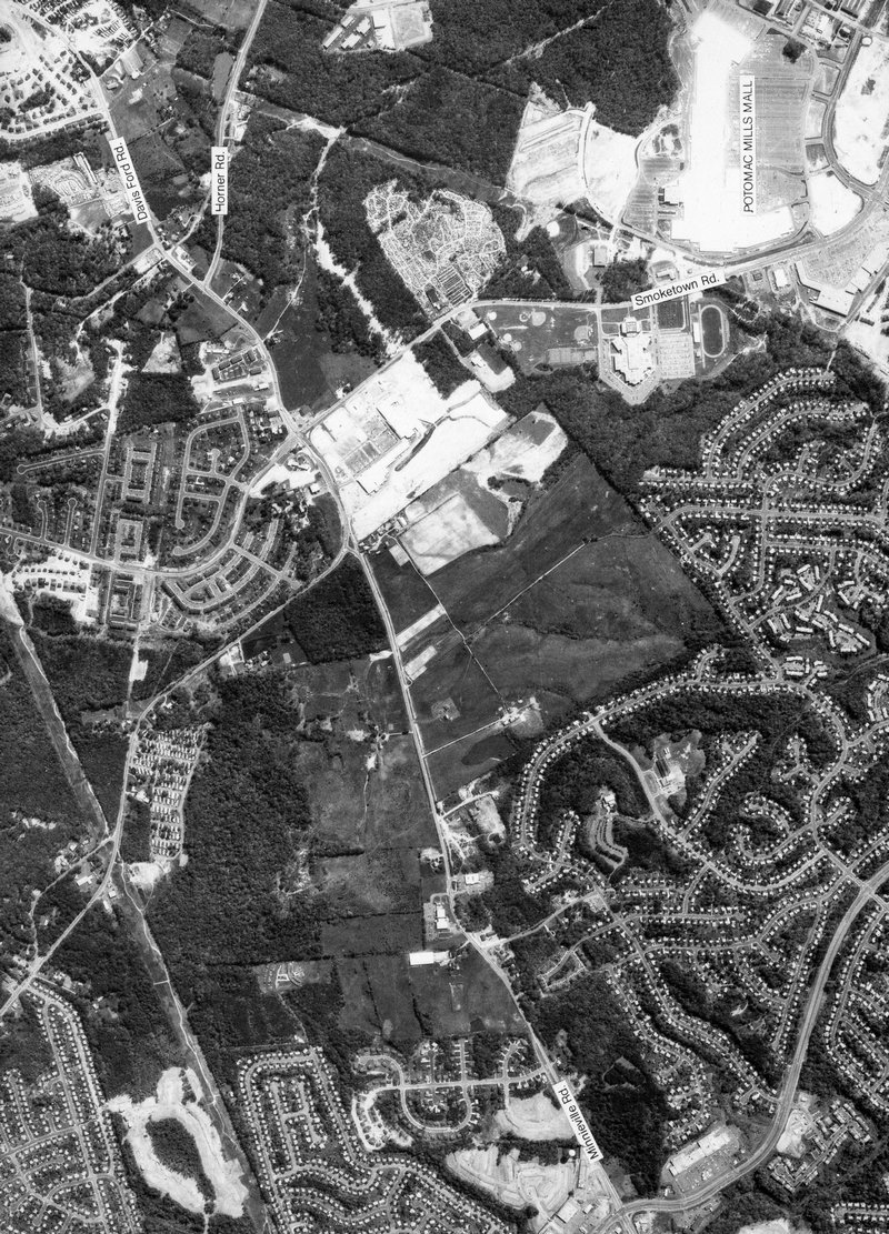
Minnieville Rd. where Prince William Parkway crosses today - #117
full size Minnieville Rd. and Dale Blvd and Bel Air House - #118
full size Minnieville Rd. where Prince William Parkway crosses today - #119
full size Prince William Parkway at the PWC Government Center - #120
full size
Minnieville Rd., Dale Blvd. and former Elm Farm Road - #121
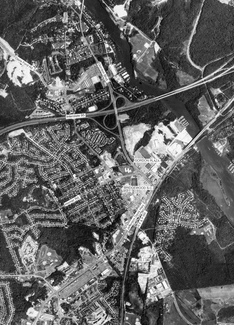
full size I-95 and Rt. 123 near Occoquan, Virginia - #122
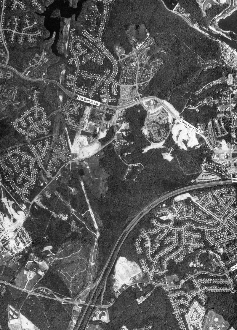
full size Minnieville Rd. and Old Bridge Road at Tackett’s Mill, Lake Ridge, Virginia - #123
full size Rt. 1 and Rt. 123 in Woodbridge, Virginia - #124
full size
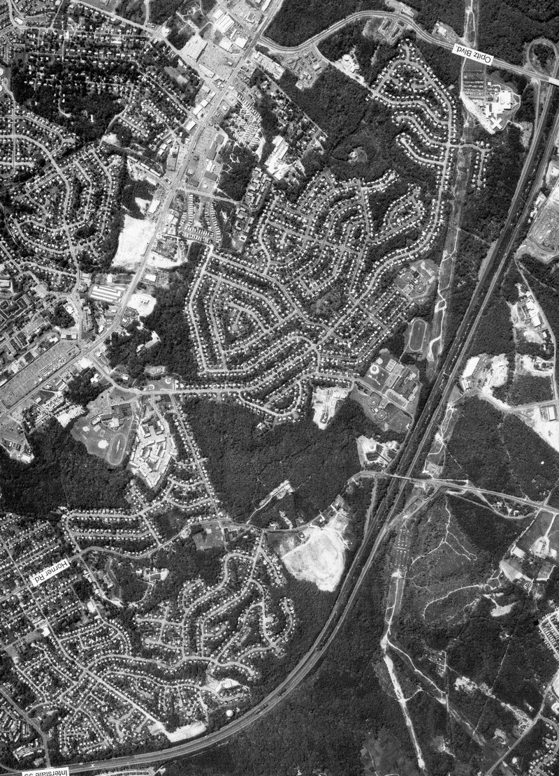
Opitz Road and Horner Road, Rt. 1 in Woodbridge, Virginia - #125
full size I-95 and Rt. 1 in Woodbridge, Virginia - #126
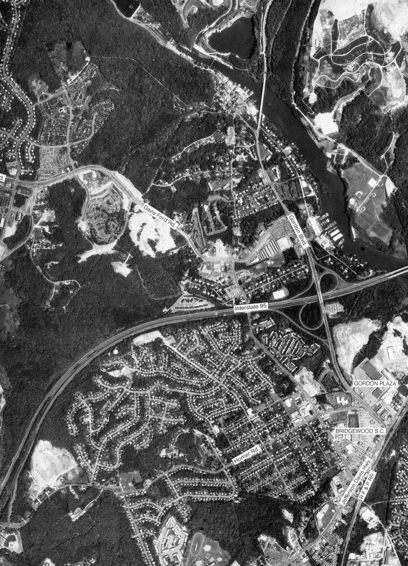
full size Occoquan, I-95, and Rt. 1 in Woodbridge, Virginia - #127
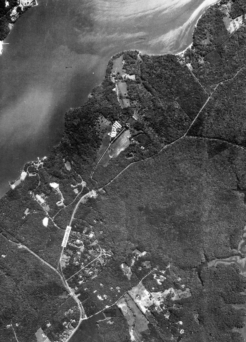
full size Gunston Hall in Fairfax, Virginia. Home of George Mason - #128
full size

